[Surveys in the Fannin District: Bois d'Arc Creek, Sulphur Creek]
Atlas G, Page 8, Sketch 1 (G-8-1)
G-8-1
-
Map/Doc
263
-
Collection
General Map Collection
-
Object Dates
1844 (Creation Date)
-
People and Organizations
William H. Hunt (Surveyor/Engineer)
-
Counties
Fannin
-
Subjects
Atlas
-
Height x Width
7.9 x 7.9 inches
20.1 x 20.1 cm
-
Medium
paper, manuscript
-
Comments
Conserved in 2003.
-
Features
Bois D'Arc Creek
Part of: General Map Collection
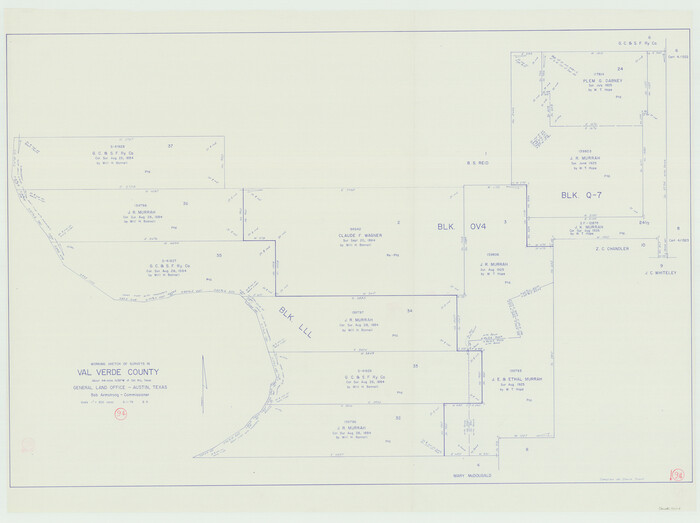
Val Verde County Working Sketch 94

Print $20.00
- Digital $50.00
Val Verde County Working Sketch 94
1979
Size 31.6 x 42.3 inches
Map/Doc 72229
Trinity County Sketch File 17


Print $4.00
- Digital $50.00
Trinity County Sketch File 17
Size 8.0 x 7.4 inches
Map/Doc 38546
Map of Asylum & University lands situated on the waters of Hubbards Creek


Print $20.00
- Digital $50.00
Map of Asylum & University lands situated on the waters of Hubbards Creek
1857
Size 21.2 x 28.5 inches
Map/Doc 2491
El Paso County Rolled Sketch VD


Print $40.00
- Digital $50.00
El Paso County Rolled Sketch VD
1915
Size 18.4 x 67.4 inches
Map/Doc 8862
Flight Mission No. CUG-3P, Frame 133, Kleberg County


Print $20.00
- Digital $50.00
Flight Mission No. CUG-3P, Frame 133, Kleberg County
1956
Size 18.7 x 22.2 inches
Map/Doc 86268
Aransas County Sketch File 13
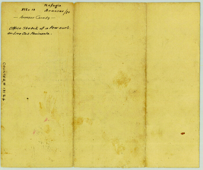

Print $4.00
- Digital $50.00
Aransas County Sketch File 13
Size 7.0 x 8.4 inches
Map/Doc 13126
Angelina County Working Sketch 8


Print $20.00
- Digital $50.00
Angelina County Working Sketch 8
1920
Size 19.1 x 15.0 inches
Map/Doc 67089
Bandera County Working Sketch 21


Print $20.00
- Digital $50.00
Bandera County Working Sketch 21
1948
Size 21.1 x 16.7 inches
Map/Doc 67617
Hartley County


Print $40.00
- Digital $50.00
Hartley County
1923
Size 42.1 x 49.5 inches
Map/Doc 95524
Controlled Mosaic by Jack Amman Photogrammetric Engineers, Inc - Sheet 50
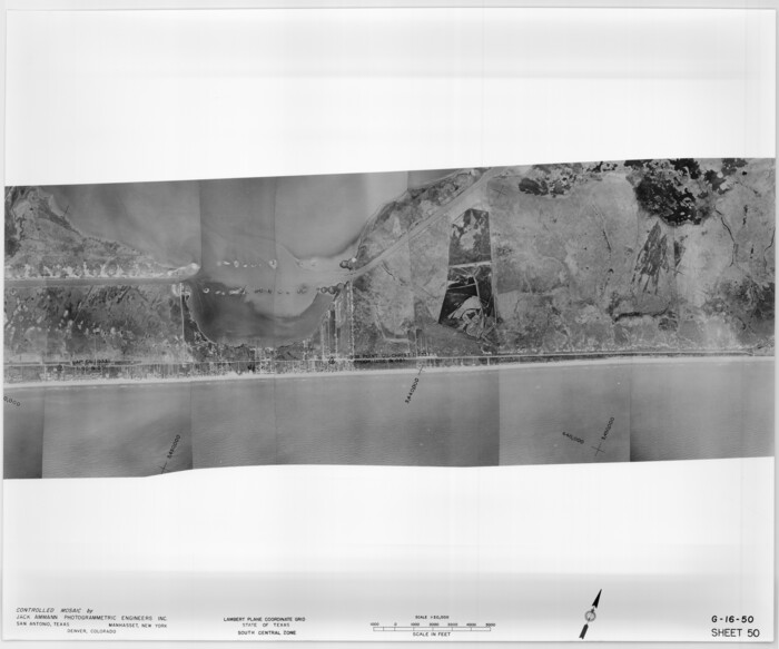

Print $20.00
- Digital $50.00
Controlled Mosaic by Jack Amman Photogrammetric Engineers, Inc - Sheet 50
1954
Size 20.0 x 24.0 inches
Map/Doc 83509
Garza County Sketch File E


Print $20.00
- Digital $50.00
Garza County Sketch File E
Size 16.0 x 15.7 inches
Map/Doc 11552
You may also like
El Paso County Rolled Sketch 43A


Print $20.00
- Digital $50.00
El Paso County Rolled Sketch 43A
Size 23.2 x 22.6 inches
Map/Doc 5829
Map of the Texas & Pacific Ry. Reserve West of the Pecos River


Print $20.00
- Digital $50.00
Map of the Texas & Pacific Ry. Reserve West of the Pecos River
1879
Size 41.2 x 29.9 inches
Map/Doc 65334
Flight Mission No. CGI-3N, Frame 173, Cameron County

Print $20.00
- Digital $50.00
Flight Mission No. CGI-3N, Frame 173, Cameron County
1954
Size 18.5 x 22.3 inches
Map/Doc 84637
Chambers County Sketch File 23


Print $2.00
- Digital $50.00
Chambers County Sketch File 23
1878
Size 10.0 x 7.9 inches
Map/Doc 17597
J No. 9 - Reconnaissance of the Western Coast of the United States from San Francisco to San Diego
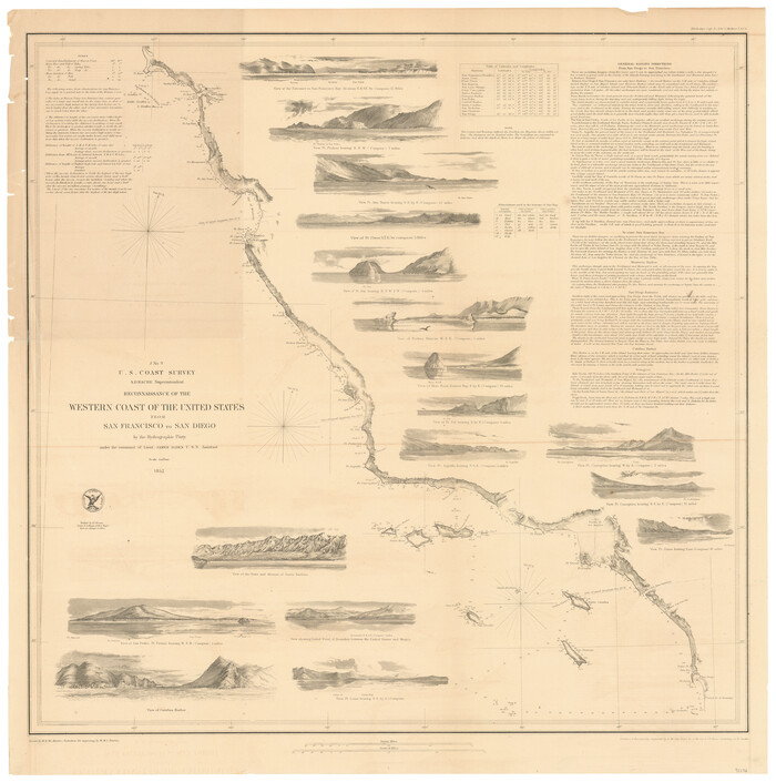

Print $20.00
- Digital $50.00
J No. 9 - Reconnaissance of the Western Coast of the United States from San Francisco to San Diego
1852
Size 24.5 x 24.4 inches
Map/Doc 97236
Hidalgo County Rolled Sketch 12


Print $20.00
- Digital $50.00
Hidalgo County Rolled Sketch 12
1908
Size 21.3 x 27.9 inches
Map/Doc 6211
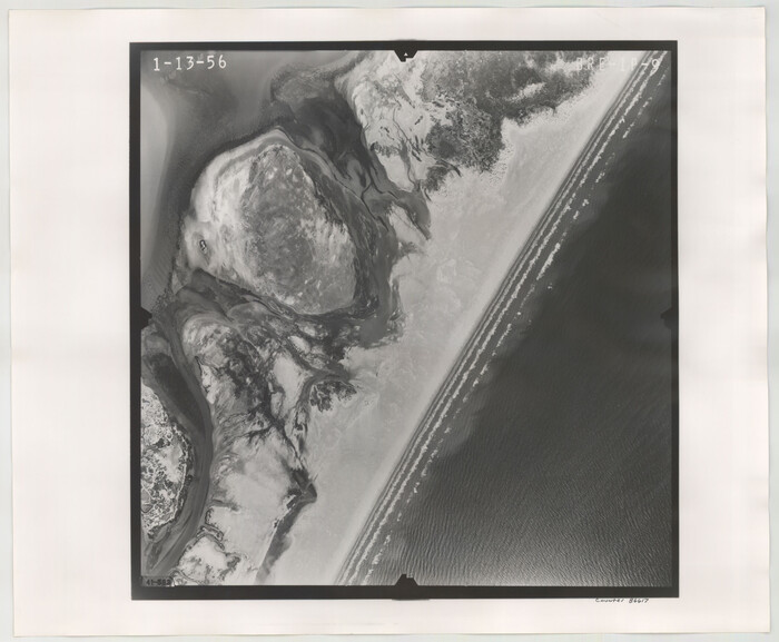
Flight Mission No. BRE-1P, Frame 9, Nueces County

Print $20.00
- Digital $50.00
Flight Mission No. BRE-1P, Frame 9, Nueces County
1956
Size 18.5 x 22.4 inches
Map/Doc 86617
[Floyd County School Land Lgs. 180-183, Fisher County School Land Lgs. 105-108, and part of Blk. V]
![90193, [Floyd County Schoo Land Lgs. 180-183, Fisher County School Land Lgs. 105-108, and part of Blk. V], Twichell Survey Records](https://historictexasmaps.com/wmedia_w700/maps/90193-1.tif.jpg)
![90193, [Floyd County Schoo Land Lgs. 180-183, Fisher County School Land Lgs. 105-108, and part of Blk. V], Twichell Survey Records](https://historictexasmaps.com/wmedia_w700/maps/90193-1.tif.jpg)
Print $2.00
- Digital $50.00
[Floyd County School Land Lgs. 180-183, Fisher County School Land Lgs. 105-108, and part of Blk. V]
Size 8.7 x 10.2 inches
Map/Doc 90193
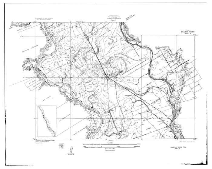
Brazos River, Brazos River Sheet 2

Print $6.00
- Digital $50.00
Brazos River, Brazos River Sheet 2
1926
Size 25.0 x 31.4 inches
Map/Doc 65294
Kinney County Sketch File 15


Print $20.00
- Digital $50.00
Kinney County Sketch File 15
1887
Size 13.0 x 19.0 inches
Map/Doc 11940
![263, [Surveys in the Fannin District: Bois d'Arc Creek, Sulphur Creek], General Map Collection](https://historictexasmaps.com/wmedia_w1800h1800/maps/263.tif.jpg)
