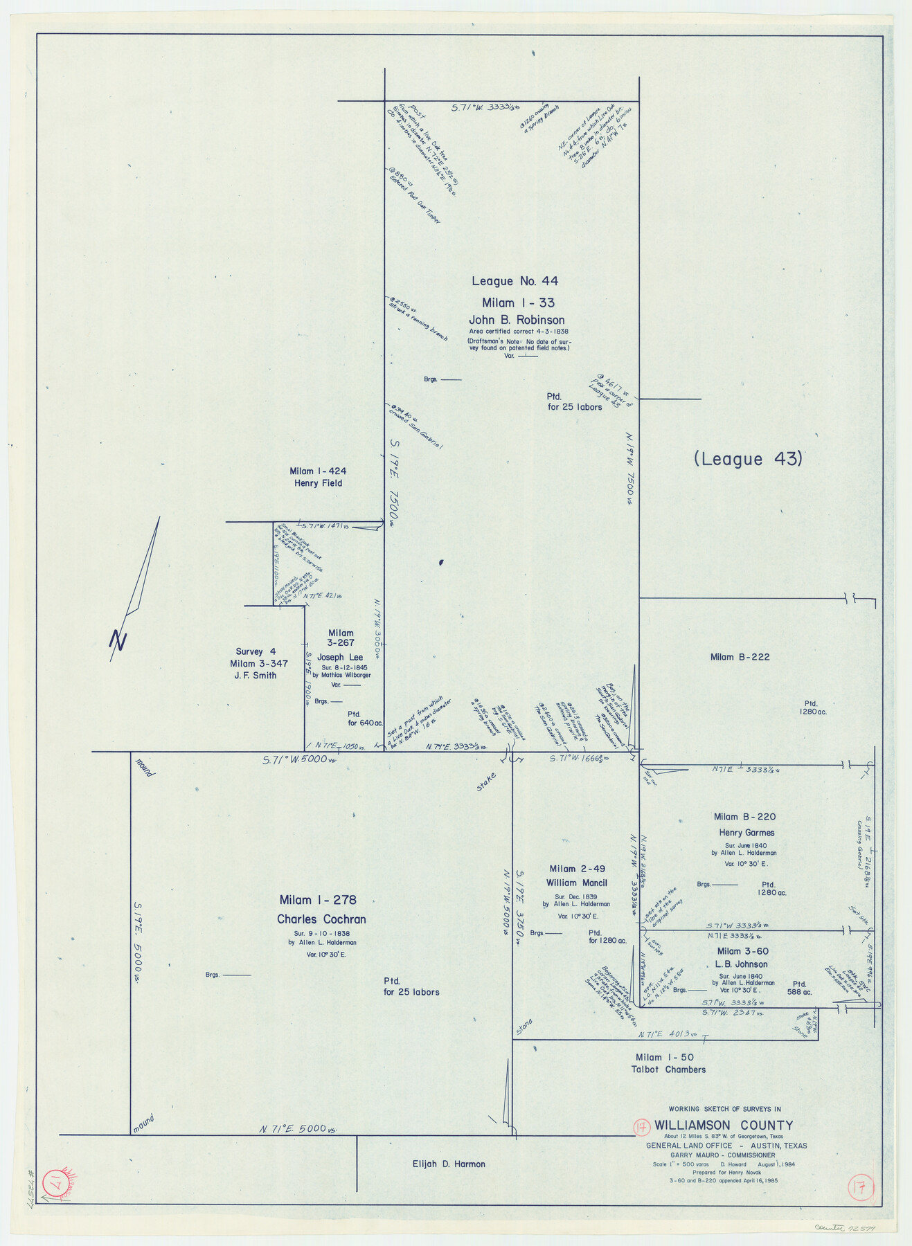
Williamson County Working Sketch 17
-
Map/Doc
72577
-
Collection
General Map Collection
-
Object Dates
8/1/1984 (Creation Date)
-
People and Organizations
Douglas Howard (Draftsman)
-
Counties
Williamson
-
Subjects
Surveying Working Sketch
-
Height x Width
32.7 x 24.0 inches
83.1 x 61.0 cm
-
Scale
1" = 500 varas
Part of: General Map Collection
Travis County Rolled Sketch 37

Print $20.00
- Digital $50.00
Travis County Rolled Sketch 37
1942
Size 33.6 x 32.7 inches
Map/Doc 10737
Flight Mission No. DQN-2K, Frame 10, Calhoun County

Print $20.00
- Digital $50.00
Flight Mission No. DQN-2K, Frame 10, Calhoun County
1953
Size 18.5 x 22.0 inches
Map/Doc 84227
United States of North America (Eastern and Central)

Print $20.00
- Digital $50.00
United States of North America (Eastern and Central)
1862
Size 19.3 x 26.2 inches
Map/Doc 93667
[Surveys near Seco Creek]
![225, [Surveys near Seco Creek], General Map Collection](https://historictexasmaps.com/wmedia_w700/maps/225.tif.jpg)
Print $2.00
- Digital $50.00
[Surveys near Seco Creek]
1846
Size 13.1 x 7.3 inches
Map/Doc 225
[Surveys in the Montgomery District: San Jacinto River and Caney Creek, Navidad, Navasota]
![33, [Surveys in the Montgomery District: San Jacinto River and Caney Creek, Navidad, Navasota], General Map Collection](https://historictexasmaps.com/wmedia_w700/maps/33.tif.jpg)
Print $2.00
- Digital $50.00
[Surveys in the Montgomery District: San Jacinto River and Caney Creek, Navidad, Navasota]
1846
Size 8.8 x 6.0 inches
Map/Doc 33
Presidio County Sketch File 116

Print $86.00
- Digital $50.00
Presidio County Sketch File 116
1993
Size 11.4 x 8.7 inches
Map/Doc 34842
Flight Mission No. BRA-7M, Frame 38, Jefferson County

Print $20.00
- Digital $50.00
Flight Mission No. BRA-7M, Frame 38, Jefferson County
1953
Size 18.6 x 22.4 inches
Map/Doc 85489
[Galveston, Harrisburg & San Antonio Railroad from Cuero to Stockdale]
![64191, [Galveston, Harrisburg & San Antonio Railroad from Cuero to Stockdale], General Map Collection](https://historictexasmaps.com/wmedia_w700/maps/64191.tif.jpg)
Print $20.00
- Digital $50.00
[Galveston, Harrisburg & San Antonio Railroad from Cuero to Stockdale]
1907
Size 14.2 x 34.2 inches
Map/Doc 64191
Hudspeth County Rolled Sketch 64

Print $40.00
- Digital $50.00
Hudspeth County Rolled Sketch 64
1986
Size 39.1 x 81.9 inches
Map/Doc 9228
Connected Map of Austin's Colony

Print $40.00
- Digital $50.00
Connected Map of Austin's Colony
1837
Size 90.8 x 85.6 inches
Map/Doc 1944
Flight Mission No. CGI-3N, Frame 185, Cameron County

Print $20.00
- Digital $50.00
Flight Mission No. CGI-3N, Frame 185, Cameron County
1954
Size 18.6 x 22.4 inches
Map/Doc 84649
Duval County Sketch File 7

Print $4.00
- Digital $50.00
Duval County Sketch File 7
1875
Size 10.9 x 8.6 inches
Map/Doc 21294
You may also like
Mineral Plats - El Paso to Ward Co. and River Beds

Mineral Plats - El Paso to Ward Co. and River Beds
Map/Doc 81746
Flight Mission No. CGI-4N, Frame 191, Cameron County

Print $20.00
- Digital $50.00
Flight Mission No. CGI-4N, Frame 191, Cameron County
1955
Size 18.6 x 22.2 inches
Map/Doc 84694
Burnet County Sketch File 4a

Print $4.00
- Digital $50.00
Burnet County Sketch File 4a
1856
Size 12.3 x 8.2 inches
Map/Doc 16678
Webb County Rolled Sketch 78

Print $20.00
- Digital $50.00
Webb County Rolled Sketch 78
2011
Size 33.1 x 24.6 inches
Map/Doc 90052
Parker County Boundary File 1

Print $6.00
- Digital $50.00
Parker County Boundary File 1
Size 11.2 x 8.7 inches
Map/Doc 57833
Webb County Working Sketch 54

Print $20.00
- Digital $50.00
Webb County Working Sketch 54
1954
Size 43.1 x 33.6 inches
Map/Doc 72420
Brazos Santiago, Texas

Print $20.00
- Digital $50.00
Brazos Santiago, Texas
1867
Size 27.1 x 18.3 inches
Map/Doc 73035
Controlled Mosaic by Jack Amman Photogrammetric Engineers, Inc - Sheet 23

Print $20.00
- Digital $50.00
Controlled Mosaic by Jack Amman Photogrammetric Engineers, Inc - Sheet 23
1954
Size 20.0 x 24.0 inches
Map/Doc 83474
Wilson County Working Sketch 7

Print $20.00
- Digital $50.00
Wilson County Working Sketch 7
1965
Size 23.7 x 30.2 inches
Map/Doc 72587
San Patricio County Boundary File 77

Digital $50.00
San Patricio County Boundary File 77
Map/Doc 81963
Archer County Boundary File 5

Print $3.00
- Digital $50.00
Archer County Boundary File 5
Size 16.9 x 6.8 inches
Map/Doc 50112
Brazoria County Working Sketch 40

Print $3.00
- Digital $50.00
Brazoria County Working Sketch 40
1982
Size 11.0 x 10.8 inches
Map/Doc 67525