Archer County Boundary File 5
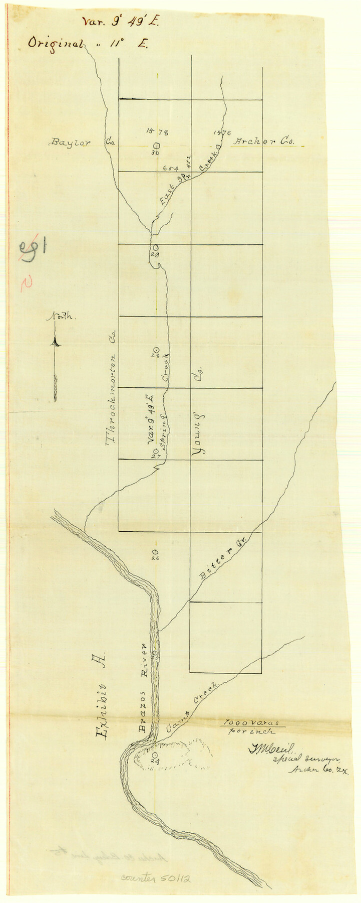
Sketch of Archer, Baylor, Throckmorton and Young Boundary
-
Map/Doc
50112
-
Collection
General Map Collection
-
Counties
Archer
-
Subjects
County Boundaries
-
Height x Width
16.9 x 6.8 inches
42.9 x 17.3 cm
Part of: General Map Collection
Ector County Rolled Sketch CE

Print $20.00
- Digital $50.00
Ector County Rolled Sketch CE
1928
Size 34.0 x 45.2 inches
Map/Doc 8832
Wharton County Working Sketch 22

Print $20.00
- Digital $50.00
Wharton County Working Sketch 22
1919
Size 22.1 x 17.7 inches
Map/Doc 72486
Gaines County

Print $20.00
- Digital $50.00
Gaines County
1956
Size 32.2 x 40.6 inches
Map/Doc 77286
Map of the Reconnaissance in Texas by Lieuts Blake & Meade of the Corps of Topl. Engrs.

Print $20.00
- Digital $50.00
Map of the Reconnaissance in Texas by Lieuts Blake & Meade of the Corps of Topl. Engrs.
1845
Size 27.6 x 18.2 inches
Map/Doc 72894
Terrell County Rolled Sketch N

Print $20.00
- Digital $50.00
Terrell County Rolled Sketch N
Size 13.8 x 33.4 inches
Map/Doc 7978
Marion County Working Sketch 37

Print $20.00
- Digital $50.00
Marion County Working Sketch 37
1986
Size 30.0 x 43.0 inches
Map/Doc 70813
Atascosa County Working Sketch Graphic Index

Print $20.00
- Digital $50.00
Atascosa County Working Sketch Graphic Index
1948
Size 46.1 x 42.8 inches
Map/Doc 76458
Carson County

Print $20.00
- Digital $50.00
Carson County
1932
Size 42.0 x 38.5 inches
Map/Doc 73100
Brooks County Boundary File Index

Print $2.00
- Digital $50.00
Brooks County Boundary File Index
Size 8.6 x 3.1 inches
Map/Doc 50808
Palo Pinto County Working Sketch 14

Print $20.00
- Digital $50.00
Palo Pinto County Working Sketch 14
1960
Size 27.2 x 27.4 inches
Map/Doc 71397
Flight Mission No. DIX-8P, Frame 74, Aransas County

Print $20.00
- Digital $50.00
Flight Mission No. DIX-8P, Frame 74, Aransas County
1956
Size 18.7 x 22.5 inches
Map/Doc 83905
Schleicher County Rolled Sketch 8

Print $20.00
- Digital $50.00
Schleicher County Rolled Sketch 8
Size 27.8 x 29.0 inches
Map/Doc 7750
You may also like
Pecos County Working Sketch 89.5

Print $40.00
- Digital $50.00
Pecos County Working Sketch 89.5
1965
Size 80.5 x 32.5 inches
Map/Doc 71561
Anderson County

Print $40.00
- Digital $50.00
Anderson County
1942
Size 52.9 x 47.9 inches
Map/Doc 66702
Flight Mission No. CRC-2R, Frame 189, Chambers County

Print $20.00
- Digital $50.00
Flight Mission No. CRC-2R, Frame 189, Chambers County
1956
Size 18.6 x 22.4 inches
Map/Doc 84767
Glasscock County Sketch File 3

Print $3.00
- Digital $50.00
Glasscock County Sketch File 3
1931
Size 11.1 x 14.8 inches
Map/Doc 11560
Flight Mission No. BQY-15M, Frame 18, Harris County

Print $20.00
- Digital $50.00
Flight Mission No. BQY-15M, Frame 18, Harris County
1953
Size 18.6 x 22.5 inches
Map/Doc 85316
Robertson County Working Sketch 12

Print $20.00
- Digital $50.00
Robertson County Working Sketch 12
1984
Size 20.6 x 22.4 inches
Map/Doc 63585
Dawson County Sketch File D

Print $20.00
- Digital $50.00
Dawson County Sketch File D
1917
Size 30.0 x 40.3 inches
Map/Doc 10363
Pecos County Rolled Sketch 108

Print $20.00
- Digital $50.00
Pecos County Rolled Sketch 108
1940
Size 39.7 x 30.7 inches
Map/Doc 7254
McMullen County Sketch File 5

Print $4.00
- Digital $50.00
McMullen County Sketch File 5
1854
Size 8.7 x 8.3 inches
Map/Doc 31343
Garza County Sketch File 7

Print $4.00
- Digital $50.00
Garza County Sketch File 7
1900
Size 13.3 x 8.5 inches
Map/Doc 24060
Comanche County Working Sketch 29

Print $20.00
- Digital $50.00
Comanche County Working Sketch 29
1986
Size 29.3 x 37.8 inches
Map/Doc 68163
Culberson County Rolled Sketch 68

Print $20.00
- Digital $50.00
Culberson County Rolled Sketch 68
1997
Size 32.0 x 32.9 inches
Map/Doc 76402