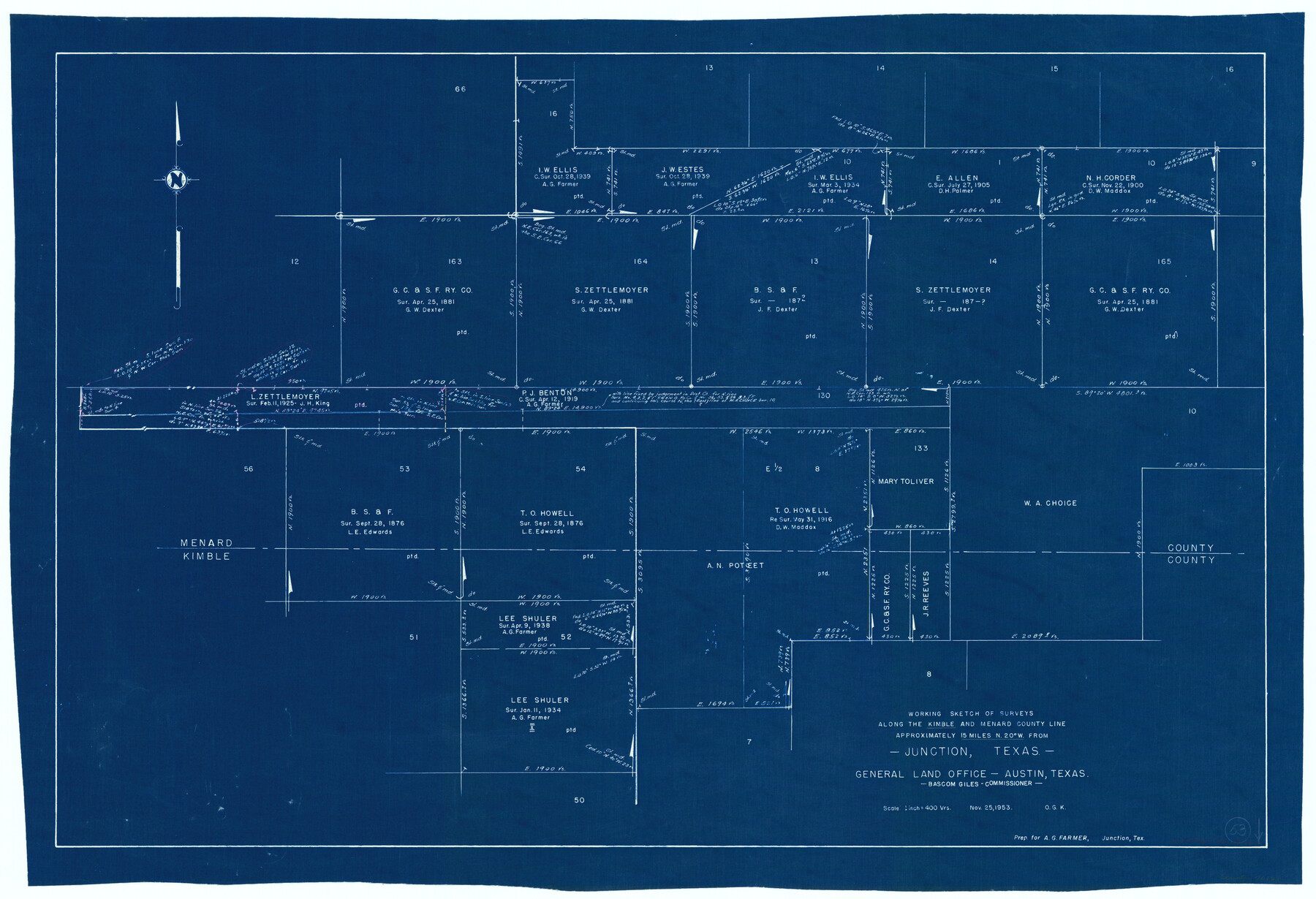
Kimble County Working Sketch 53
-
Map/Doc
70121
-
Collection
General Map Collection
-
Object Dates
11/25/1953 (Creation Date)
-
People and Organizations
Otto G. Kurio (Draftsman)
-
Counties
Kimble Menard
-
Subjects
Surveying Working Sketch
-
Height x Width
24.5 x 35.9 inches
62.2 x 91.2 cm
-
Scale
1" = 400 varas
Part of: General Map Collection

Crockett County Sketch File 93

Print $8.00
- Digital $50.00
Crockett County Sketch File 93
1887
Size 12.7 x 8.2 inches
Map/Doc 19946
Sherman County Boundary File 2

Print $34.00
- Digital $50.00
Sherman County Boundary File 2
Size 13.0 x 9.0 inches
Map/Doc 58761
Edwards County Sketch File 32

Print $40.00
- Digital $50.00
Edwards County Sketch File 32
1926
Size 13.1 x 14.4 inches
Map/Doc 21765
Map representing the surveys made in Bexar County

Print $40.00
- Digital $50.00
Map representing the surveys made in Bexar County
1839
Size 75.7 x 37.9 inches
Map/Doc 93364
Jefferson County Rolled Sketch 4

Print $40.00
- Digital $50.00
Jefferson County Rolled Sketch 4
Size 36.7 x 65.3 inches
Map/Doc 9269
Mitchell County Sketch File 3

Print $4.00
- Digital $50.00
Mitchell County Sketch File 3
1902
Size 9.2 x 8.4 inches
Map/Doc 31690
Hudspeth County Sketch File 40

Print $8.00
- Digital $50.00
Hudspeth County Sketch File 40
1944
Size 11.2 x 8.6 inches
Map/Doc 27012
Shelby County Sketch File 33

Print $8.00
- Digital $50.00
Shelby County Sketch File 33
1949
Size 11.5 x 9.0 inches
Map/Doc 36670
Brazoria County Working Sketch 36

Print $40.00
- Digital $50.00
Brazoria County Working Sketch 36
1981
Size 43.4 x 71.4 inches
Map/Doc 67521
Sterling County Rolled Sketch X

Print $117.00
- Digital $50.00
Sterling County Rolled Sketch X
Size 15.3 x 9.6 inches
Map/Doc 49097
Map of Liberty County

Print $40.00
- Digital $50.00
Map of Liberty County
1903
Size 54.9 x 53.6 inches
Map/Doc 16878
You may also like
Map of Irion County

Print $20.00
- Digital $50.00
Map of Irion County
1893
Size 43.6 x 37.3 inches
Map/Doc 16857
Texas Hill Country Trail Region

Texas Hill Country Trail Region
2017
Size 18.2 x 24.3 inches
Map/Doc 96871
Upton County Working Sketch 3

Print $20.00
- Digital $50.00
Upton County Working Sketch 3
Size 21.4 x 33.8 inches
Map/Doc 69499
San Patricio County Sketch File 6

Print $4.00
- Digital $50.00
San Patricio County Sketch File 6
Size 8.7 x 5.5 inches
Map/Doc 36035
Resurvey of Block K-3

Print $20.00
- Digital $50.00
Resurvey of Block K-3
1913
Size 17.0 x 19.0 inches
Map/Doc 90540
Right of Way and Track Map International & Gt. Northern Ry. operated by the International & Gt. Northern Ry. Co., Gulf Division, Columbia Branch

Print $40.00
- Digital $50.00
Right of Way and Track Map International & Gt. Northern Ry. operated by the International & Gt. Northern Ry. Co., Gulf Division, Columbia Branch
1917
Size 24.9 x 56.5 inches
Map/Doc 64594
Flight Mission No. DCL-5C, Frame 72, Kenedy County

Print $20.00
- Digital $50.00
Flight Mission No. DCL-5C, Frame 72, Kenedy County
1943
Size 18.7 x 22.5 inches
Map/Doc 85855
Map of Grimes County, Texas

Print $20.00
- Digital $50.00
Map of Grimes County, Texas
1880
Size 29.5 x 15.6 inches
Map/Doc 432
[T. & P. Block 43, Township 1N]
![90827, [T. & P. Block 43, Township 1N], Twichell Survey Records](https://historictexasmaps.com/wmedia_w700/maps/90827-2.tif.jpg)
Print $20.00
- Digital $50.00
[T. & P. Block 43, Township 1N]
Size 23.0 x 17.8 inches
Map/Doc 90827
Montgomery County Sketch File 36

Print $40.00
- Digital $50.00
Montgomery County Sketch File 36
1953
Size 51.7 x 34.9 inches
Map/Doc 10551
Midland County Boundary File 3

Print $4.00
- Digital $50.00
Midland County Boundary File 3
Size 8.2 x 8.3 inches
Map/Doc 57174
Jeff Davis County Sketch File R

Print $12.00
- Digital $50.00
Jeff Davis County Sketch File R
Size 6.0 x 8.7 inches
Map/Doc 28017