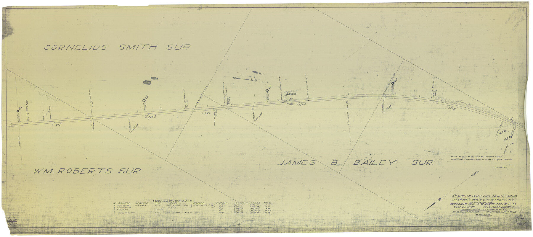
Right of Way and Track Map International & Gt. Northern Ry. operated by the International & Gt. Northern Ry. Co., Gulf Division, Columbia Branch
Station 2393+09 to Station 2605+66
Z-2-184
-
Map/Doc
64594
-
Collection
General Map Collection
-
Object Dates
6/30/1917 (Creation Date)
-
Counties
Brazoria
-
Subjects
Railroads
-
Height x Width
24.9 x 56.5 inches
63.3 x 143.5 cm
-
Medium
blueprint/diazo
-
Scale
1" = 400 feet
-
Comments
See counter nos. 64595 through 64601 for other sheets.
-
Features
I&GN
Highway 587
Dyervale
Goggin
Part of: General Map Collection
Brewster County Sketch File FN-32

Print $8.00
- Digital $50.00
Brewster County Sketch File FN-32
Size 11.1 x 8.7 inches
Map/Doc 15854
Live Oak County Working Sketch 2

Print $20.00
- Digital $50.00
Live Oak County Working Sketch 2
1891
Size 17.9 x 18.2 inches
Map/Doc 70587
City of Aransas Pass and Chart of Aransas Bay and Corpus Christi Bay, Texas

Print $20.00
- Digital $50.00
City of Aransas Pass and Chart of Aransas Bay and Corpus Christi Bay, Texas
1905
Size 28.4 x 21.4 inches
Map/Doc 97265
Erath County Working Sketch 29

Print $20.00
- Digital $50.00
Erath County Working Sketch 29
1970
Size 25.6 x 27.4 inches
Map/Doc 69110
Map of the Rio Grande & Eagle Pass Ry. from Sections 1-6 Inclusive, Webb County

Print $40.00
- Digital $50.00
Map of the Rio Grande & Eagle Pass Ry. from Sections 1-6 Inclusive, Webb County
1909
Size 25.4 x 55.7 inches
Map/Doc 64655
San Jacinto County Working Sketch 12

Print $20.00
- Digital $50.00
San Jacinto County Working Sketch 12
1935
Size 33.4 x 37.3 inches
Map/Doc 63725
Brewster County Rolled Sketch 56

Print $20.00
- Digital $50.00
Brewster County Rolled Sketch 56
Size 43.1 x 37.1 inches
Map/Doc 8481
Kinney County Sketch File E

Print $10.00
- Digital $50.00
Kinney County Sketch File E
1885
Size 10.7 x 8.1 inches
Map/Doc 29124
Reagan County Working Sketch 1

Print $20.00
- Digital $50.00
Reagan County Working Sketch 1
1886
Size 25.0 x 27.3 inches
Map/Doc 71841
Flight Mission No. DQO-1K, Frame 148, Galveston County

Print $20.00
- Digital $50.00
Flight Mission No. DQO-1K, Frame 148, Galveston County
1952
Size 18.8 x 22.5 inches
Map/Doc 85001
Wilbarger Co.

Print $40.00
- Digital $50.00
Wilbarger Co.
1907
Size 49.1 x 40.3 inches
Map/Doc 63126
Zavala County Working Sketch 22

Print $40.00
- Digital $50.00
Zavala County Working Sketch 22
1980
Size 70.4 x 43.5 inches
Map/Doc 62097
You may also like
Gregg County Rolled Sketch 21

Print $20.00
- Digital $50.00
Gregg County Rolled Sketch 21
1957
Size 34.4 x 40.4 inches
Map/Doc 10650
Crane County Sketch File 11

Print $40.00
- Digital $50.00
Crane County Sketch File 11
Size 18.5 x 8.9 inches
Map/Doc 19569
Dallas County Boundary File 3

Print $6.00
- Digital $50.00
Dallas County Boundary File 3
Size 14.2 x 8.6 inches
Map/Doc 52120
R. H. Fulton Lands

Print $20.00
- Digital $50.00
R. H. Fulton Lands
Size 39.9 x 14.3 inches
Map/Doc 92509
Working Sketch in Bastrop County

Print $20.00
- Digital $50.00
Working Sketch in Bastrop County
1921
Size 14.0 x 15.8 inches
Map/Doc 90232
[T. T. RR. Co. Block 8 and vicinity]
![90875, [T. T. RR. Co. Block 8 and vicinity], Twichell Survey Records](https://historictexasmaps.com/wmedia_w700/maps/90875-2.tif.jpg)
Print $20.00
- Digital $50.00
[T. T. RR. Co. Block 8 and vicinity]
Size 25.3 x 39.0 inches
Map/Doc 90875
Edwards County Working Sketch 137, revised

Print $20.00
- Digital $50.00
Edwards County Working Sketch 137, revised
1997
Size 33.6 x 35.1 inches
Map/Doc 69014
Marion County Working Sketch 4

Print $20.00
- Digital $50.00
Marion County Working Sketch 4
Size 15.7 x 19.1 inches
Map/Doc 70779
Sutton County Sketch File 52

Print $6.00
- Digital $50.00
Sutton County Sketch File 52
1948
Size 11.2 x 8.8 inches
Map/Doc 37529
Martin County Sketch File 14

Print $46.00
- Digital $50.00
Martin County Sketch File 14
1937
Size 11.2 x 8.8 inches
Map/Doc 30671
Crockett County Working Sketch 90

Print $20.00
- Digital $50.00
Crockett County Working Sketch 90
1978
Size 45.2 x 43.3 inches
Map/Doc 68423
Childress County Sketch File 19

Print $4.00
- Digital $50.00
Childress County Sketch File 19
Size 14.1 x 8.7 inches
Map/Doc 18294