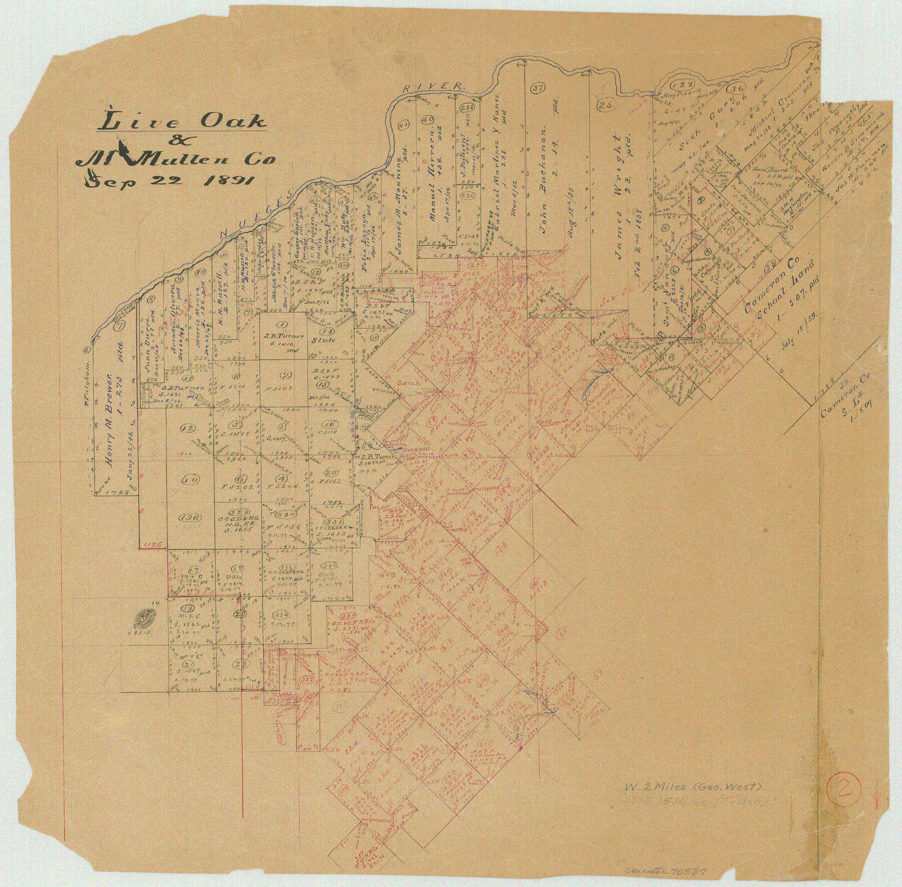
Live Oak County Working Sketch 2
-
Map/Doc
70587
-
Collection
General Map Collection
-
Object Dates
9/22/1891 (Creation Date)
-
Counties
Live Oak McMullen
-
Subjects
Surveying Working Sketch
-
Height x Width
17.9 x 18.2 inches
45.5 x 46.2 cm
Part of: General Map Collection
Map of Fayette County

Print $20.00
- Digital $50.00
Map of Fayette County
1865
Size 23.2 x 28.8 inches
Map/Doc 3540
Jackson County Sketch File 11

Print $20.00
- Digital $50.00
Jackson County Sketch File 11
1922
Size 15.7 x 30.1 inches
Map/Doc 11837
North end of Brazos Island

Print $20.00
- Digital $50.00
North end of Brazos Island
Size 25.9 x 18.2 inches
Map/Doc 72917
Kimble County Rolled Sketch 44

Print $20.00
- Digital $50.00
Kimble County Rolled Sketch 44
Size 35.9 x 24.2 inches
Map/Doc 96810
Travis County Working Sketch 55

Print $20.00
- Digital $50.00
Travis County Working Sketch 55
1988
Size 23.0 x 37.0 inches
Map/Doc 69439
Zapata County Sketch File 6

Print $22.00
- Digital $50.00
Zapata County Sketch File 6
1913
Size 22.1 x 32.7 inches
Map/Doc 12720
Greer County Sketch File 11

Print $6.00
- Digital $50.00
Greer County Sketch File 11
Size 14.2 x 8.8 inches
Map/Doc 24532
Map of Eastland Co.

Print $20.00
- Digital $50.00
Map of Eastland Co.
1896
Size 43.2 x 43.1 inches
Map/Doc 78410
Coryell County Boundary File 3a

Print $50.00
- Digital $50.00
Coryell County Boundary File 3a
Size 13.2 x 8.1 inches
Map/Doc 51914
San Saba County Working Sketch 4

Print $20.00
- Digital $50.00
San Saba County Working Sketch 4
1941
Size 43.4 x 31.8 inches
Map/Doc 63792
Presidio County Sketch File 102

Print $4.00
- Digital $50.00
Presidio County Sketch File 102
Size 11.3 x 8.8 inches
Map/Doc 34793
Foard County Boundary File 4a

Print $40.00
- Digital $50.00
Foard County Boundary File 4a
Size 16.9 x 45.4 inches
Map/Doc 53522
You may also like
Edwards County Rolled Sketch 9

Print $20.00
- Digital $50.00
Edwards County Rolled Sketch 9
1885
Size 29.3 x 42.8 inches
Map/Doc 5802
Refugio County Rolled Sketch 6

Print $20.00
- Digital $50.00
Refugio County Rolled Sketch 6
1892
Size 28.7 x 29.2 inches
Map/Doc 7507
Mitchell County

Print $20.00
- Digital $50.00
Mitchell County
1922
Size 42.6 x 38.3 inches
Map/Doc 2309
Map of the Colonization Grants to Zavala, Vehlein & Burnet in Texas, belonging to the Galveston Bay & Texas Land Co.

Print $20.00
- Digital $50.00
Map of the Colonization Grants to Zavala, Vehlein & Burnet in Texas, belonging to the Galveston Bay & Texas Land Co.
1835
Size 10.7 x 12.7 inches
Map/Doc 93851
Harris County Sketch File C

Print $4.00
- Digital $50.00
Harris County Sketch File C
1866
Size 5.9 x 9.8 inches
Map/Doc 25311
Harrison County Rolled Sketch 5

Print $20.00
- Digital $50.00
Harrison County Rolled Sketch 5
1949
Size 33.7 x 19.3 inches
Map/Doc 6467
Hudspeth County Working Sketch 19

Print $20.00
- Digital $50.00
Hudspeth County Working Sketch 19
1959
Size 21.5 x 24.3 inches
Map/Doc 66301
Cass County Sketch File 5 and 5a

Print $6.00
- Digital $50.00
Cass County Sketch File 5 and 5a
1851
Size 2.8 x 5.1 inches
Map/Doc 17401
Trinity County

Print $20.00
- Digital $50.00
Trinity County
1857
Size 19.2 x 30.8 inches
Map/Doc 4094
Irion County Sketch File 1

Print $20.00
- Digital $50.00
Irion County Sketch File 1
1881
Size 43.9 x 18.3 inches
Map/Doc 10615
Bee County Working Sketch 34

Print $20.00
- Digital $50.00
Bee County Working Sketch 34
1988
Size 46.3 x 43.6 inches
Map/Doc 67285
Flight Mission No. BRA-7M, Frame 87, Jefferson County

Print $20.00
- Digital $50.00
Flight Mission No. BRA-7M, Frame 87, Jefferson County
1953
Size 18.5 x 22.3 inches
Map/Doc 85509