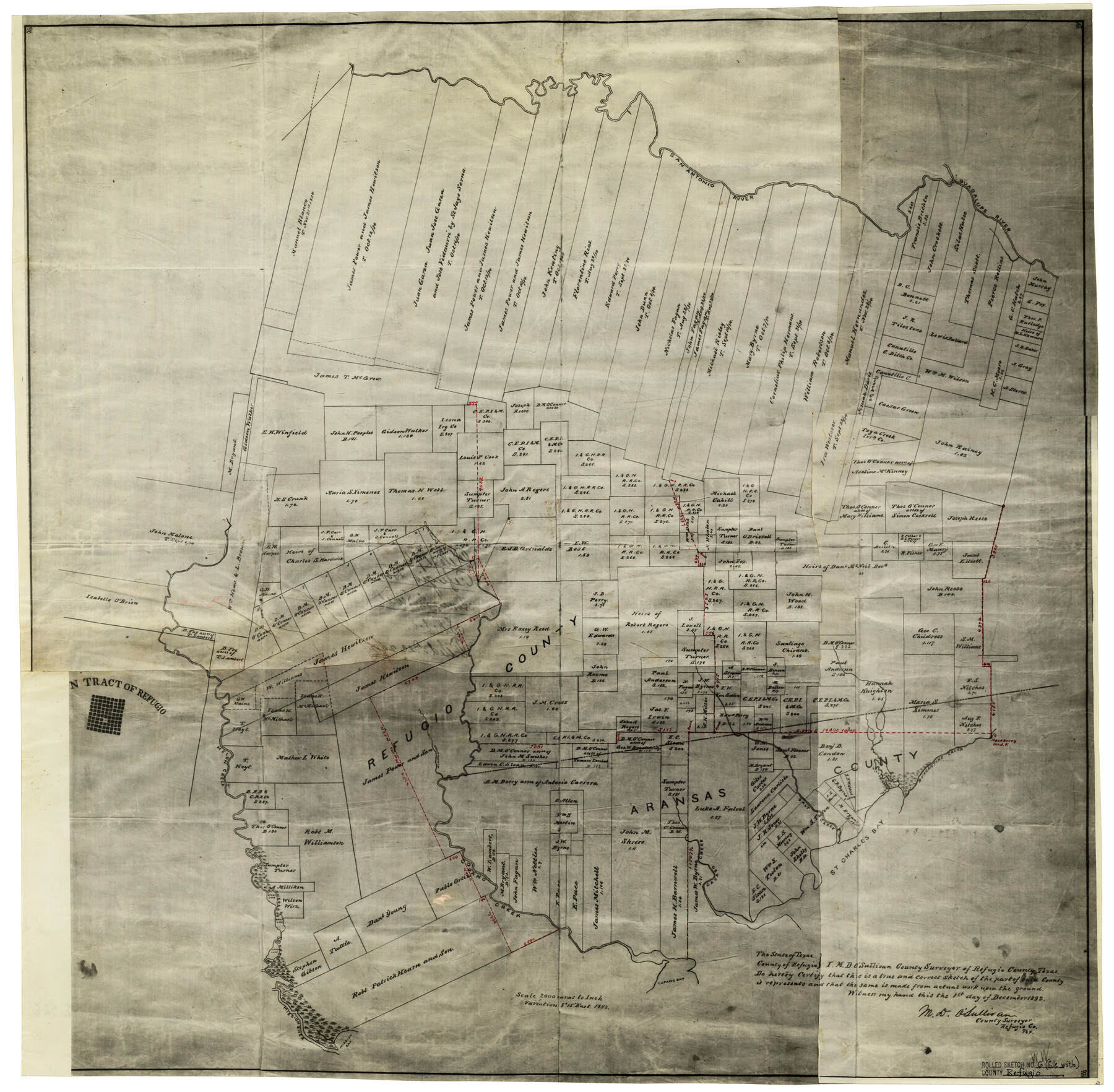
Refugio County Rolled Sketch 6
[Map of Refugio and Aransas Counties]
-
Map/Doc
7507
-
Collection
General Map Collection
-
Object Dates
12/1/1892 (Creation Date)
2/20/1943 (File Date)
-
People and Organizations
M.D. O'Sullivan (Surveyor/Engineer)
-
Counties
Refugio Aransas
-
Subjects
Surveying Rolled Sketch
-
Height x Width
28.7 x 29.2 inches
72.9 x 74.2 cm
-
Medium
photostat
-
Scale
1" = 2000 varas
Part of: General Map Collection
Crane County Working Sketch 15

Print $20.00
- Digital $50.00
Crane County Working Sketch 15
1946
Size 33.6 x 38.0 inches
Map/Doc 68292
Stephens County Sketch File 9

Print $42.00
- Digital $50.00
Stephens County Sketch File 9
Size 8.2 x 5.5 inches
Map/Doc 37029
Roberts County Sketch File 9

Print $26.00
- Digital $50.00
Roberts County Sketch File 9
1992
Size 14.3 x 9.0 inches
Map/Doc 35327
Fisher County Sketch File 10

Print $20.00
- Digital $50.00
Fisher County Sketch File 10
Size 9.7 x 37.0 inches
Map/Doc 11477
Topographical Map of the Rio Grande, Sheet No. 13

Print $20.00
- Digital $50.00
Topographical Map of the Rio Grande, Sheet No. 13
1912
Map/Doc 89537
Hardeman County Aerial Photograph Index Sheet 2

Print $20.00
- Digital $50.00
Hardeman County Aerial Photograph Index Sheet 2
1950
Size 20.3 x 16.9 inches
Map/Doc 83698
Map of Tom Green Co.

Print $40.00
- Digital $50.00
Map of Tom Green Co.
1880
Size 42.5 x 74.3 inches
Map/Doc 82062
Parker County Sketch File 9a

Print $4.00
- Digital $50.00
Parker County Sketch File 9a
1859
Size 9.0 x 7.7 inches
Map/Doc 33540
Schleicher County Sketch File 44

Print $4.00
- Digital $50.00
Schleicher County Sketch File 44
1950
Size 8.9 x 14.4 inches
Map/Doc 36550
Limestone Co.

Print $40.00
- Digital $50.00
Limestone Co.
1887
Size 52.1 x 33.8 inches
Map/Doc 16881
Flight Mission No. DQN-6K, Frame 14, Calhoun County

Print $20.00
- Digital $50.00
Flight Mission No. DQN-6K, Frame 14, Calhoun County
1953
Size 18.4 x 22.2 inches
Map/Doc 84436
East Part of Brewster Co.

Print $40.00
- Digital $50.00
East Part of Brewster Co.
1952
Size 48.5 x 30.7 inches
Map/Doc 73087
You may also like
Real County Rolled Sketch 20

Print $20.00
- Digital $50.00
Real County Rolled Sketch 20
2004
Size 24.6 x 35.8 inches
Map/Doc 82573
Burnet County Sketch File 13

Print $4.00
- Digital $50.00
Burnet County Sketch File 13
1848
Size 12.8 x 8.2 inches
Map/Doc 16696
Sutton County Sketch File 6a

Print $6.00
- Digital $50.00
Sutton County Sketch File 6a
1898
Size 7.5 x 6.4 inches
Map/Doc 37362
Flight Mission No. CUG-3P, Frame 138, Kleberg County

Print $20.00
- Digital $50.00
Flight Mission No. CUG-3P, Frame 138, Kleberg County
1956
Size 18.6 x 22.4 inches
Map/Doc 86273
Comanche County Sketch File 29

Print $23.00
- Digital $50.00
Comanche County Sketch File 29
1954
Size 13.4 x 10.2 inches
Map/Doc 19120

Mills County Boundary File 2

Print $6.00
- Digital $50.00
Mills County Boundary File 2
Size 14.1 x 8.7 inches
Map/Doc 57278
General Highway Map, McCulloch County, Texas

Print $20.00
General Highway Map, McCulloch County, Texas
1940
Size 24.6 x 18.2 inches
Map/Doc 79190
Jeff Davis County Sketch File 41

Print $40.00
- Digital $50.00
Jeff Davis County Sketch File 41
1959
Size 13.3 x 13.4 inches
Map/Doc 28064
Presidio County Sketch File 50

Print $8.00
- Digital $50.00
Presidio County Sketch File 50
1919
Size 13.3 x 8.8 inches
Map/Doc 34586
Flight Mission No. DAG-26K, Frame 57, Matagorda County

Print $20.00
- Digital $50.00
Flight Mission No. DAG-26K, Frame 57, Matagorda County
1953
Size 18.5 x 22.6 inches
Map/Doc 86577
Map of Glasscock County

Print $20.00
- Digital $50.00
Map of Glasscock County
Size 18.9 x 23.1 inches
Map/Doc 90710