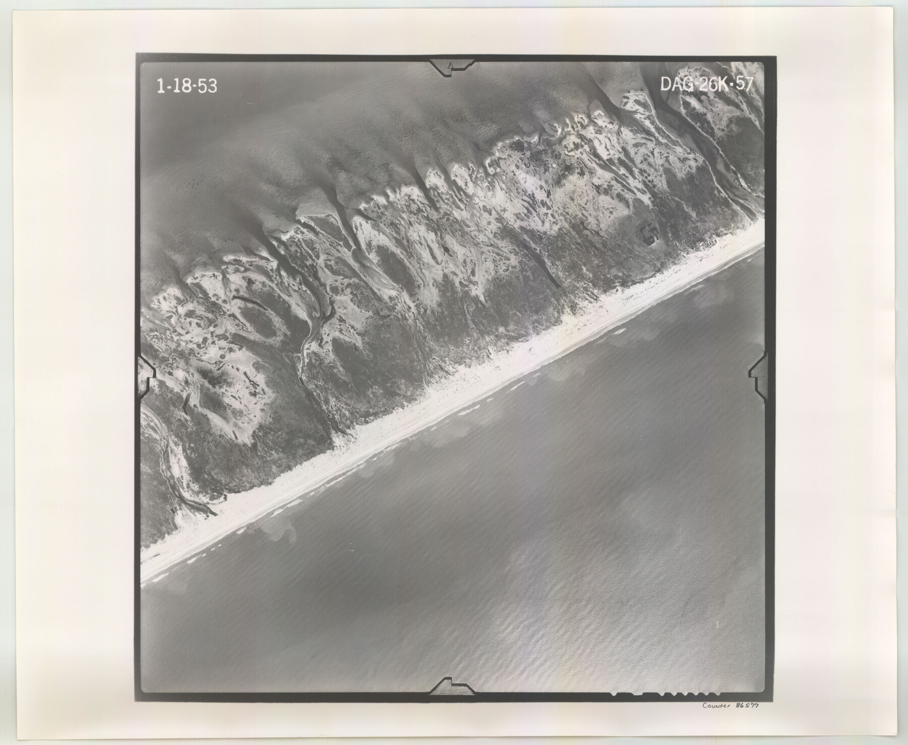
Flight Mission No. DAG-26K, Frame 57, Matagorda County
DAG-26K-57
-
Map/Doc
86577
-
Collection
General Map Collection
-
Object Dates
1953/1/18 (Creation Date)
-
People and Organizations
U. S. Department of Agriculture (Publisher)
-
Counties
Matagorda
-
Subjects
Aerial Photograph
-
Height x Width
18.5 x 22.6 inches
47.0 x 57.4 cm
-
Comments
Flown by Aero Exploration Company of Tulsa, Oklahoma.
Part of: General Map Collection
Culberson County Working Sketch 15

Print $20.00
- Digital $50.00
Culberson County Working Sketch 15
1923
Size 19.9 x 21.5 inches
Map/Doc 68467
Baylor County Sketch File 12f

Print $12.00
- Digital $50.00
Baylor County Sketch File 12f
1900
Size 14.4 x 9.0 inches
Map/Doc 14164
Starr County Working Sketch 12

Print $20.00
- Digital $50.00
Starr County Working Sketch 12
1949
Size 43.2 x 25.5 inches
Map/Doc 63928

Jack County Sketch File 30

Print $20.00
- Digital $50.00
Jack County Sketch File 30
Size 24.9 x 34.7 inches
Map/Doc 11829
Texas Official Travel Map

Digital $50.00
Texas Official Travel Map
Size 33.6 x 36.5 inches
Map/Doc 94301

Galveston County Sketch File 62

Print $20.00
- Digital $50.00
Galveston County Sketch File 62
Size 11.2 x 8.8 inches
Map/Doc 23671
Potter County Working Sketch 5

Print $20.00
- Digital $50.00
Potter County Working Sketch 5
1920
Size 41.3 x 37.1 inches
Map/Doc 71665
Gonzales County

Print $40.00
- Digital $50.00
Gonzales County
1920
Size 48.4 x 44.2 inches
Map/Doc 4706
Young Land District

Print $20.00
- Digital $50.00
Young Land District
1857
Size 21.7 x 29.7 inches
Map/Doc 1974

You may also like
Wichita County

Print $20.00
- Digital $50.00
Wichita County
1924
Size 33.7 x 40.2 inches
Map/Doc 63123
Hood County Sketch File 12

Print $35.00
- Digital $50.00
Hood County Sketch File 12
Size 9.0 x 9.7 inches
Map/Doc 26590
Duval County Sketch File 19a

Print $40.00
- Digital $50.00
Duval County Sketch File 19a
1880
Size 12.7 x 14.2 inches
Map/Doc 21318
Hudspeth County Rolled Sketch 38

Print $20.00
- Digital $50.00
Hudspeth County Rolled Sketch 38
1939
Size 18.0 x 37.5 inches
Map/Doc 6251
Terry County Sketch File 9

Print $4.00
- Digital $50.00
Terry County Sketch File 9
1917
Size 14.4 x 8.8 inches
Map/Doc 38032
Battlefields of the Civil War

Battlefields of the Civil War
1961
Size 25.8 x 19.7 inches
Map/Doc 92373
Morris County Rolled Sketch 2A

Print $20.00
- Digital $50.00
Morris County Rolled Sketch 2A
Size 24.0 x 18.8 inches
Map/Doc 10252
Eastland County

Print $20.00
- Digital $50.00
Eastland County
1945
Size 41.8 x 42.0 inches
Map/Doc 77268
Newton County Sketch File 15

Print $20.00
- Digital $50.00
Newton County Sketch File 15
1878
Size 29.1 x 16.8 inches
Map/Doc 42156
Galveston County Working Sketch 18

Print $20.00
- Digital $50.00
Galveston County Working Sketch 18
1982
Size 18.3 x 19.7 inches
Map/Doc 69355
Frio County Rolled Sketch 16

Print $20.00
- Digital $50.00
Frio County Rolled Sketch 16
1952
Size 38.4 x 40.7 inches
Map/Doc 8906
Wilbarger County Sketch File 21

Print $4.00
- Digital $50.00
Wilbarger County Sketch File 21
1889
Size 11.1 x 8.6 inches
Map/Doc 40219