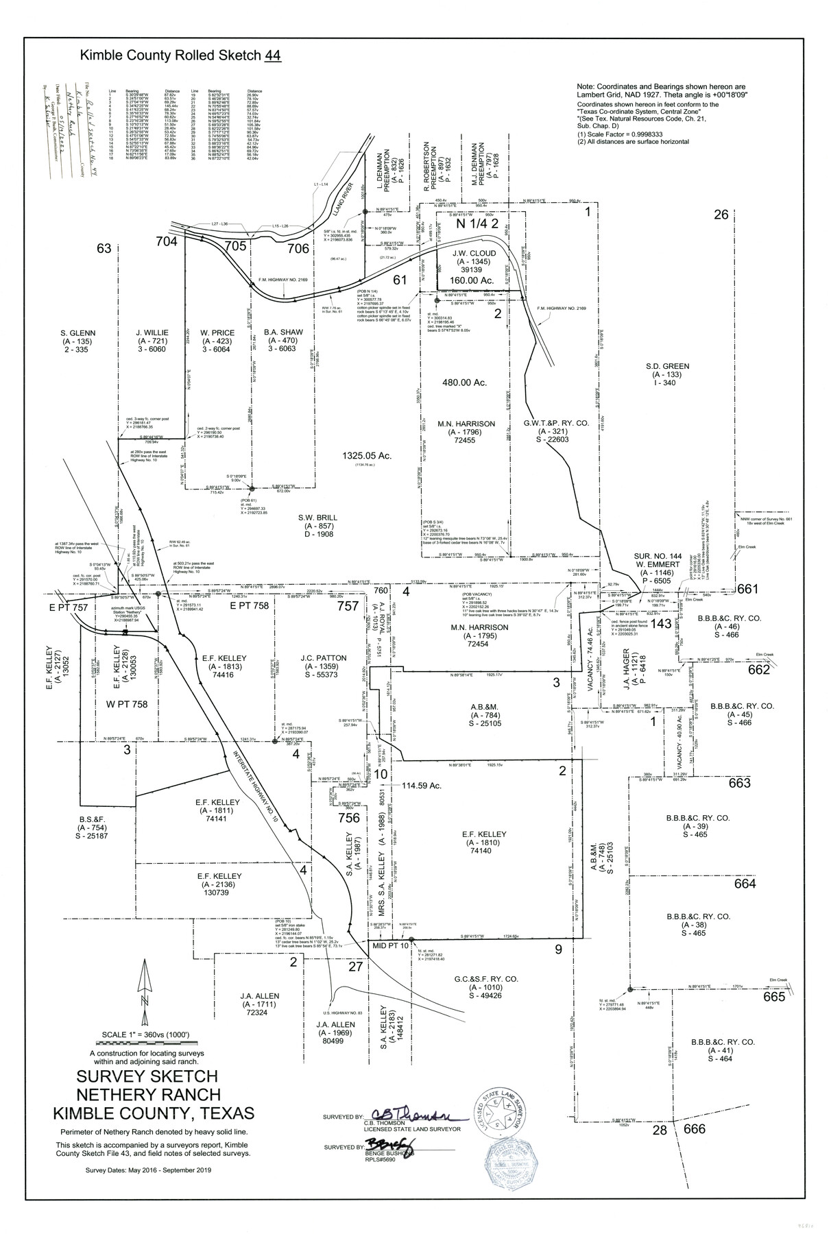
Kimble County Rolled Sketch 44
Survey sketch, Nethery Ranch
-
Map/Doc
96810
-
Collection
General Map Collection
-
Object Dates
2022/5/19 (File Date)
2019 (Survey Date)
-
People and Organizations
C.B. Thomson (Surveyor/Engineer)
Benge Bushong (Surveyor/Engineer)
-
Counties
Kimble
-
Subjects
Surveying Rolled Sketch
-
Height x Width
35.9 x 24.2 inches
91.2 x 61.5 cm
-
Medium
mylar, print
-
Scale
1" = 360 varas
-
Comments
For surveyor's report see Kimble County Sketch File 43 (96811).
Related maps
Kimble County Sketch File 43

Print $16.00
- Digital $50.00
Kimble County Sketch File 43
2021
Size 11.0 x 8.5 inches
Map/Doc 96811
Part of: General Map Collection
Flight Mission No. DQO-8K, Frame 111, Galveston County

Print $20.00
- Digital $50.00
Flight Mission No. DQO-8K, Frame 111, Galveston County
1952
Size 18.6 x 22.3 inches
Map/Doc 85193
Crane County Sketch File 24

Print $20.00
- Digital $50.00
Crane County Sketch File 24
Size 23.0 x 17.0 inches
Map/Doc 11212
Throckmorton County Sketch File 11

Print $30.00
- Digital $50.00
Throckmorton County Sketch File 11
1884
Size 8.9 x 11.6 inches
Map/Doc 38105
Cherokee County Rolled Sketch 3

Print $40.00
- Digital $50.00
Cherokee County Rolled Sketch 3
1955
Size 55.5 x 35.2 inches
Map/Doc 8597
Webb County Sketch File B2

Print $4.00
- Digital $50.00
Webb County Sketch File B2
1909
Size 13.9 x 8.1 inches
Map/Doc 39656
Cottle County Sketch File KN

Print $20.00
- Digital $50.00
Cottle County Sketch File KN
Size 18.8 x 25.2 inches
Map/Doc 11203
Hardeman County Sketch File 4

Print $6.00
- Digital $50.00
Hardeman County Sketch File 4
Size 9.3 x 8.2 inches
Map/Doc 24991
Brewster County Working Sketch 66

Print $20.00
- Digital $50.00
Brewster County Working Sketch 66
1958
Size 42.2 x 30.6 inches
Map/Doc 67667
Jeff Davis County Rolled Sketch 19

Print $40.00
- Digital $50.00
Jeff Davis County Rolled Sketch 19
1885
Size 37.1 x 57.9 inches
Map/Doc 9265
Polk County Working Sketch 32

Print $20.00
- Digital $50.00
Polk County Working Sketch 32
1960
Size 28.8 x 37.3 inches
Map/Doc 71648
Brewster County Rolled Sketch 144

Print $40.00
- Digital $50.00
Brewster County Rolled Sketch 144
Size 51.7 x 48.3 inches
Map/Doc 8526
Coke County Working Sketch 16

Print $20.00
- Digital $50.00
Coke County Working Sketch 16
1948
Size 23.4 x 24.5 inches
Map/Doc 68053
You may also like
Mason County Sketch File 9

Print $20.00
- Digital $50.00
Mason County Sketch File 9
1880
Size 20.5 x 13.9 inches
Map/Doc 12034
Intracoastal Waterway in Texas - Corpus Christi to Point Isabel including Arroyo Colorado to Mo. Pac. R.R. Bridge Near Harlingen

Print $20.00
- Digital $50.00
Intracoastal Waterway in Texas - Corpus Christi to Point Isabel including Arroyo Colorado to Mo. Pac. R.R. Bridge Near Harlingen
1933
Size 28.2 x 40.8 inches
Map/Doc 61852
General Highway Map, Bosque County, Texas

Print $20.00
General Highway Map, Bosque County, Texas
1961
Size 24.7 x 18.1 inches
Map/Doc 79378
[H. & T. C. RR. Company, Block 47, Sections 47- 56 Corrected]
![91412, [H. & T. C. RR. Company, Block 47, Sections 47- 56 Corrected], Twichell Survey Records](https://historictexasmaps.com/wmedia_w700/maps/91412-1.tif.jpg)
Print $2.00
- Digital $50.00
[H. & T. C. RR. Company, Block 47, Sections 47- 56 Corrected]
Size 11.6 x 9.2 inches
Map/Doc 91412
Stephens County Working Sketch 34

Print $20.00
- Digital $50.00
Stephens County Working Sketch 34
1978
Size 33.5 x 28.3 inches
Map/Doc 63977
Aransas County Rolled Sketch 7

Print $437.00
- Digital $50.00
Aransas County Rolled Sketch 7
Map/Doc 42081
Armstrong County Sketch File C

Print $46.00
- Digital $50.00
Armstrong County Sketch File C
1904
Size 16.4 x 15.7 inches
Map/Doc 10856
Live Oak County Boundary File 60d

Print $4.00
- Digital $50.00
Live Oak County Boundary File 60d
Size 14.2 x 8.8 inches
Map/Doc 56423
Wichita County Sketch File 6

Print $40.00
- Digital $50.00
Wichita County Sketch File 6
Size 12.3 x 12.2 inches
Map/Doc 40045
Traced from Genl. Arista's map captured by the American Army under Genl. Taylor at Resaca de la Palma 9th May '46 and presented to James K. Polk, President U. States

Print $20.00
- Digital $50.00
Traced from Genl. Arista's map captured by the American Army under Genl. Taylor at Resaca de la Palma 9th May '46 and presented to James K. Polk, President U. States
1846
Size 18.1 x 27.3 inches
Map/Doc 73062
Garza County Rolled Sketch 6D

Print $20.00
- Digital $50.00
Garza County Rolled Sketch 6D
1913
Size 17.4 x 16.0 inches
Map/Doc 5998
Coleman County Working Sketch 19

Print $20.00
- Digital $50.00
Coleman County Working Sketch 19
1953
Size 18.1 x 15.4 inches
Map/Doc 68085