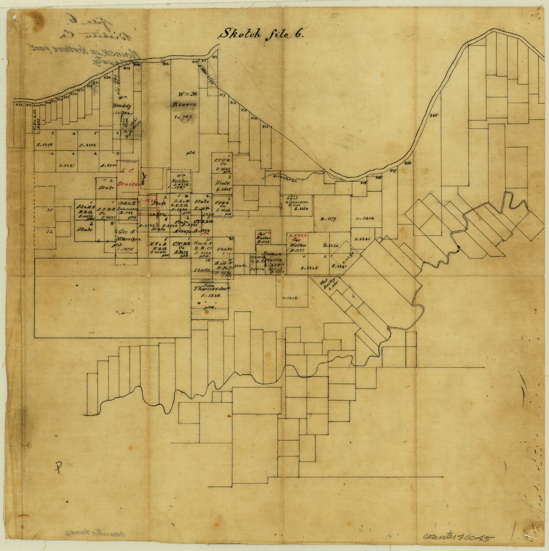
Wichita County Sketch File 6
[Sketch of large area between the Wichita River and the Red River]
-
Map/Doc
40045
-
Collection
General Map Collection
-
Counties
Wichita
-
Subjects
Surveying Sketch File
-
Height x Width
12.3 x 12.2 inches
31.2 x 31.0 cm
-
Medium
paper, manuscript
-
Features
Gilbert Creek
Part of: General Map Collection
Sutton County Boundary File 5a

Print $20.00
- Digital $50.00
Sutton County Boundary File 5a
Size 14.5 x 8.9 inches
Map/Doc 59060
Crockett County

Print $40.00
- Digital $50.00
Crockett County
1882
Size 57.1 x 67.6 inches
Map/Doc 82212
Orange County Working Sketch 20

Print $20.00
- Digital $50.00
Orange County Working Sketch 20
1933
Size 16.0 x 23.3 inches
Map/Doc 71352
Blanco County Working Sketch 39

Print $20.00
- Digital $50.00
Blanco County Working Sketch 39
1985
Size 11.9 x 18.4 inches
Map/Doc 67399
Flight Mission No. DQN-2K, Frame 27, Calhoun County

Print $20.00
- Digital $50.00
Flight Mission No. DQN-2K, Frame 27, Calhoun County
1953
Size 18.7 x 22.2 inches
Map/Doc 84234
[Sketch for Mineral Application 13271- Trinity River]
![65627, [Sketch for Mineral Application 13271- Trinity River], General Map Collection](https://historictexasmaps.com/wmedia_w700/maps/65627.tif.jpg)
Print $40.00
- Digital $50.00
[Sketch for Mineral Application 13271- Trinity River]
1925
Size 63.4 x 25.0 inches
Map/Doc 65627
Culberson County Sketch File 3b

Print $20.00
- Digital $50.00
Culberson County Sketch File 3b
1880
Size 20.3 x 28.0 inches
Map/Doc 11262
Young County Sketch File 7

Print $6.00
- Digital $50.00
Young County Sketch File 7
1856
Size 8.4 x 9.2 inches
Map/Doc 40859

Map of Hunt County

Print $20.00
- Digital $50.00
Map of Hunt County
1851
Size 27.0 x 19.8 inches
Map/Doc 4569

Map of Val Verde County

Print $40.00
- Digital $50.00
Map of Val Verde County
1898
Size 81.6 x 30.7 inches
Map/Doc 82013
You may also like
Red River County Working Sketch 1

Print $20.00
- Digital $50.00
Red River County Working Sketch 1
1918
Size 26.8 x 22.1 inches
Map/Doc 71984
Dallas County Boundary File 5

Print $120.00
- Digital $50.00
Dallas County Boundary File 5
Size 11.5 x 72.2 inches
Map/Doc 52160
Harris County NRC Article 33.136 Sketch 14

Print $50.00
- Digital $50.00
Harris County NRC Article 33.136 Sketch 14
Size 24.0 x 36.0 inches
Map/Doc 94816
San Saba County Sketch File 7a

Print $6.00
- Digital $50.00
San Saba County Sketch File 7a
1883
Size 16.4 x 10.5 inches
Map/Doc 36428
Van Zandt County Sketch File 16

Print $4.00
- Digital $50.00
Van Zandt County Sketch File 16
1858
Size 6.8 x 8.0 inches
Map/Doc 39410
[Sketch showing A. B. & M. Block 2]
![91701, [Sketch showing A. B. & M. Block 2], Twichell Survey Records](https://historictexasmaps.com/wmedia_w700/maps/91701-1.tif.jpg)
Print $2.00
- Digital $50.00
[Sketch showing A. B. & M. Block 2]
Size 7.5 x 5.8 inches
Map/Doc 91701
Fifteenth Census 1930 Population - Texas

Print $20.00
- Digital $50.00
Fifteenth Census 1930 Population - Texas
1930
Size 19.5 x 22.6 inches
Map/Doc 2146
Working Sketch in Lubbock and Crosby Cos.

Print $20.00
- Digital $50.00
Working Sketch in Lubbock and Crosby Cos.
1903
Size 35.6 x 26.6 inches
Map/Doc 90504
Atascosa County Rolled Sketch R

Print $20.00
- Digital $50.00
Atascosa County Rolled Sketch R
Size 19.6 x 19.6 inches
Map/Doc 5103
Controlled Mosaic by Jack Amman Photogrammetric Engineers, Inc - Sheet 46

Print $20.00
- Digital $50.00
Controlled Mosaic by Jack Amman Photogrammetric Engineers, Inc - Sheet 46
1954
Size 20.0 x 24.0 inches
Map/Doc 83505
Terry County Working Sketch Graphic Index

Print $20.00
- Digital $50.00
Terry County Working Sketch Graphic Index
1970
Size 41.2 x 33.8 inches
Map/Doc 76712
[Blocks S1, O6, O, A1, A2, A3, A4, JK, JK2, JK4, and JD]
![90657, [Blocks S1, O6, O, A1, A2, A3, A4, JK, JK2, JK4, and JD], Twichell Survey Records](https://historictexasmaps.com/wmedia_w700/maps/90657-1.tif.jpg)
Print $20.00
- Digital $50.00
[Blocks S1, O6, O, A1, A2, A3, A4, JK, JK2, JK4, and JD]
Size 21.3 x 22.4 inches
Map/Doc 90657