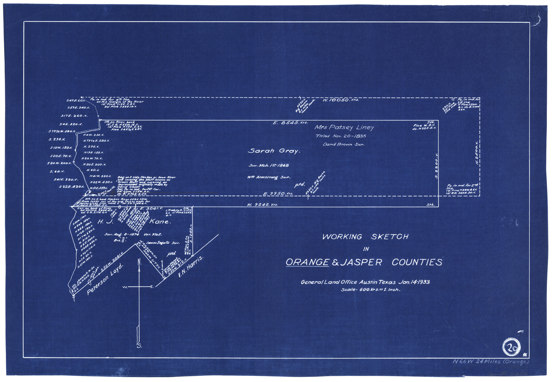
Orange County Working Sketch 20
-
Map/Doc
71352
-
Collection
General Map Collection
-
Object Dates
1/14/1933 (Creation Date)
-
Counties
Orange Jasper
-
Subjects
Surveying Working Sketch
-
Height x Width
16.0 x 23.3 inches
40.6 x 59.2 cm
-
Scale
1" = 600 varas
Part of: General Map Collection
Kendall County Sketch File 8

Print $4.00
- Digital $50.00
Kendall County Sketch File 8
1879
Size 10.1 x 8.0 inches
Map/Doc 28690
Houston County Sketch File 35

Print $8.00
- Digital $50.00
Houston County Sketch File 35
1840
Size 11.2 x 9.0 inches
Map/Doc 26813
McMullen County Working Sketch 22

Print $40.00
- Digital $50.00
McMullen County Working Sketch 22
1947
Size 39.1 x 53.3 inches
Map/Doc 70723
North Sulphur River, Mt. Joy Sheet

Print $20.00
- Digital $50.00
North Sulphur River, Mt. Joy Sheet
1926
Size 33.7 x 40.9 inches
Map/Doc 65166
Duval County Rolled Sketch 29

Print $20.00
- Digital $50.00
Duval County Rolled Sketch 29
1947
Size 16.2 x 25.8 inches
Map/Doc 5746
Central Part of Jeff Davis Co.

Print $40.00
- Digital $50.00
Central Part of Jeff Davis Co.
1982
Size 56.3 x 43.9 inches
Map/Doc 95543
Corpus Christi Pass, Texas

Print $3.00
- Digital $50.00
Corpus Christi Pass, Texas
1869
Size 16.7 x 11.2 inches
Map/Doc 73456
Hartley County Rolled Sketch 8

Print $20.00
- Digital $50.00
Hartley County Rolled Sketch 8
1974
Size 20.0 x 23.7 inches
Map/Doc 6162
Flight Mission No. DCL-6C, Frame 129, Kenedy County

Print $20.00
- Digital $50.00
Flight Mission No. DCL-6C, Frame 129, Kenedy County
1943
Size 18.5 x 22.3 inches
Map/Doc 85959
Flight Mission No. DAG-24K, Frame 53, Matagorda County

Print $20.00
- Digital $50.00
Flight Mission No. DAG-24K, Frame 53, Matagorda County
1953
Size 18.5 x 22.3 inches
Map/Doc 86540
Zapata County Rolled Sketch 27

Print $40.00
- Digital $50.00
Zapata County Rolled Sketch 27
1988
Size 48.5 x 36.4 inches
Map/Doc 10173
Edwards County Sketch File 54

Print $20.00
- Digital $50.00
Edwards County Sketch File 54
Size 17.9 x 18.4 inches
Map/Doc 11447
You may also like
Brewster County Rolled Sketch 76

Print $20.00
- Digital $50.00
Brewster County Rolled Sketch 76
Size 17.3 x 19.0 inches
Map/Doc 5241
New Map of that portion of North America, exhibiting the United States and Territories, the Canadas, New Brunswick, Nova Scotia and Mexico, also Central America and the West India Islands compiled from the most recent surveys and authentic sources

Print $40.00
- Digital $50.00
New Map of that portion of North America, exhibiting the United States and Territories, the Canadas, New Brunswick, Nova Scotia and Mexico, also Central America and the West India Islands compiled from the most recent surveys and authentic sources
1854
Size 59.4 x 63.0 inches
Map/Doc 93968
Cameron County Rolled Sketch 26

Print $20.00
- Digital $50.00
Cameron County Rolled Sketch 26
1960
Size 18.0 x 24.4 inches
Map/Doc 5391
Milam Empresario Colony. January 12, 1826

Print $20.00
Milam Empresario Colony. January 12, 1826
2020
Size 14.2 x 21.8 inches
Map/Doc 96000
Flight Mission No. CRC-4R, Frame 104, Chambers County

Print $20.00
- Digital $50.00
Flight Mission No. CRC-4R, Frame 104, Chambers County
1956
Size 18.6 x 22.4 inches
Map/Doc 84901
Travis County Sketch File 8

Print $4.00
- Digital $50.00
Travis County Sketch File 8
Size 10.2 x 8.1 inches
Map/Doc 38288
Kent County Working Sketch 15

Print $40.00
- Digital $50.00
Kent County Working Sketch 15
1971
Size 32.3 x 48.3 inches
Map/Doc 70022
Garza County Working Sketch 16

Print $20.00
- Digital $50.00
Garza County Working Sketch 16
1994
Size 21.7 x 40.3 inches
Map/Doc 63163
Uvalde County Working Sketch 27

Print $20.00
- Digital $50.00
Uvalde County Working Sketch 27
1957
Size 24.4 x 25.7 inches
Map/Doc 72097
Dimmit County Sketch File 17

Print $15.00
- Digital $50.00
Dimmit County Sketch File 17
1886
Size 11.0 x 13.7 inches
Map/Doc 21081
Hall County Sketch File 8

Print $20.00
- Digital $50.00
Hall County Sketch File 8
Size 12.8 x 23.1 inches
Map/Doc 11604
Plan of the City of Austin

Print $20.00
Plan of the City of Austin
1839
Size 24.2 x 19.4 inches
Map/Doc 76204