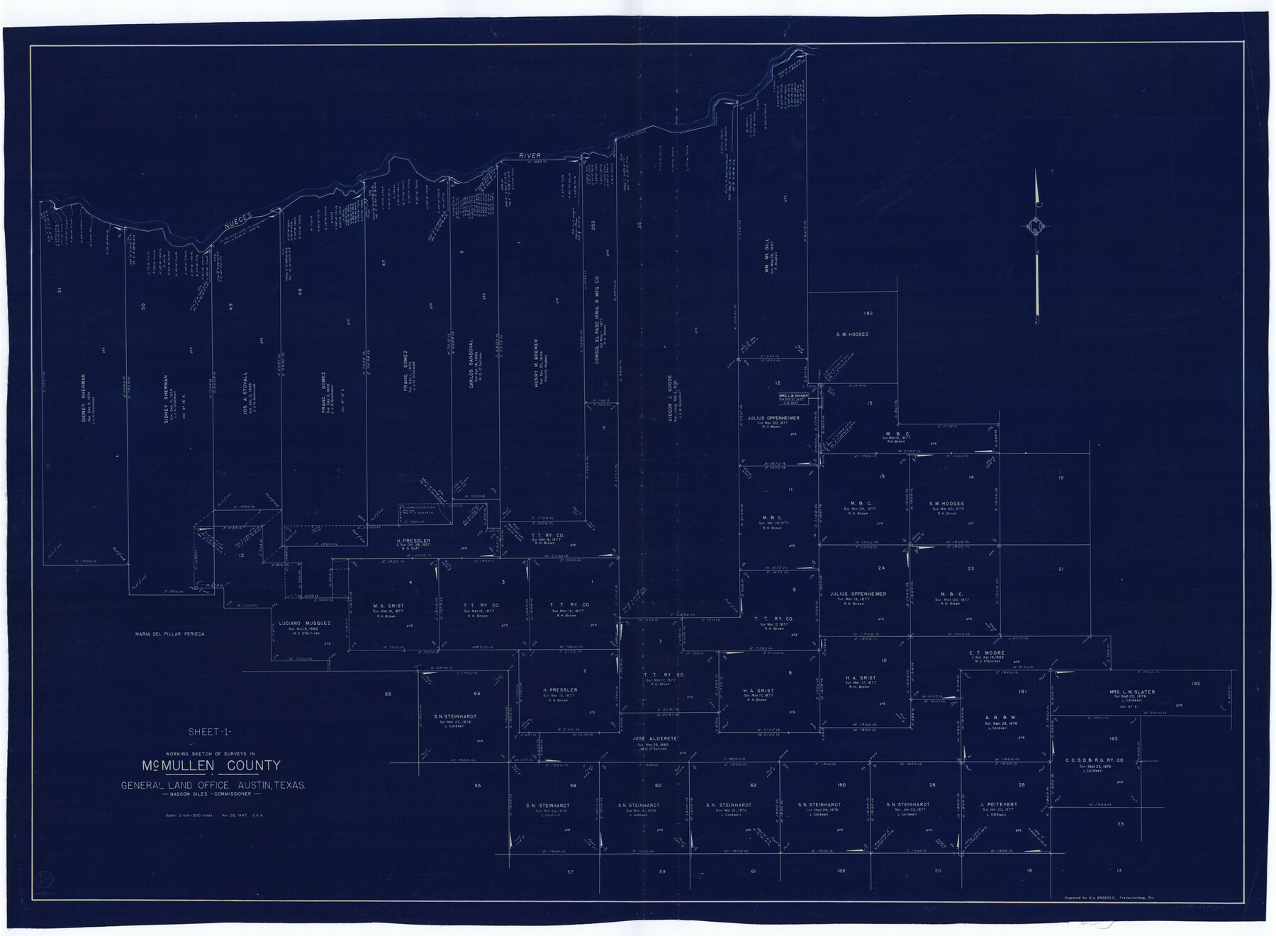
McMullen County Working Sketch 22
-
Map/Doc
70723
-
Collection
General Map Collection
-
Object Dates
11/28/1947 (Creation Date)
-
People and Organizations
Otto G. Kurio (Draftsman)
-
Counties
McMullen
-
Subjects
Surveying Working Sketch
-
Height x Width
39.1 x 53.3 inches
99.3 x 135.4 cm
-
Scale
1" = 500 varas
Part of: General Map Collection
Borden County Sketch File 7

Print $8.00
- Digital $50.00
Borden County Sketch File 7
1909
Size 13.3 x 8.4 inches
Map/Doc 14723
Galveston County NRC Article 33.136 Location Key Sheet

Print $20.00
- Digital $50.00
Galveston County NRC Article 33.136 Location Key Sheet
1995
Size 27.0 x 22.0 inches
Map/Doc 83001
Flight Mission No. DAG-24K, Frame 158, Matagorda County

Print $20.00
- Digital $50.00
Flight Mission No. DAG-24K, Frame 158, Matagorda County
1953
Size 18.6 x 22.5 inches
Map/Doc 86572
Kimble County

Print $40.00
- Digital $50.00
Kimble County
1930
Size 44.8 x 50.3 inches
Map/Doc 95557
Tom Green County Rolled Sketch 18

Print $20.00
- Digital $50.00
Tom Green County Rolled Sketch 18
Size 15.7 x 23.8 inches
Map/Doc 8001
Ector County Working Sketch 7

Print $40.00
- Digital $50.00
Ector County Working Sketch 7
1941
Size 48.5 x 29.3 inches
Map/Doc 68850
Williamson County Working Sketch 19

Print $20.00
- Digital $50.00
Williamson County Working Sketch 19
1991
Size 31.2 x 40.0 inches
Map/Doc 72579
Dickens County Rolled Sketch C & C1

Print $35.00
- Digital $50.00
Dickens County Rolled Sketch C & C1
1895
Size 10.6 x 15.5 inches
Map/Doc 44297
Deaf Smith County Sketch File 1a

Print $21.00
- Digital $50.00
Deaf Smith County Sketch File 1a
Size 11.5 x 9.2 inches
Map/Doc 20616
Blanco County Boundary File 1

Print $20.00
- Digital $50.00
Blanco County Boundary File 1
Size 11.6 x 23.1 inches
Map/Doc 50539
Medina County Working Sketch 23

Print $20.00
- Digital $50.00
Medina County Working Sketch 23
Size 43.8 x 43.1 inches
Map/Doc 70938
Orange County Sketch File 22

Print $20.00
- Digital $50.00
Orange County Sketch File 22
1910
Size 16.2 x 18.7 inches
Map/Doc 12121
You may also like
Hunt County Sketch File 20

Print $4.00
- Digital $50.00
Hunt County Sketch File 20
1853
Size 8.3 x 7.9 inches
Map/Doc 27120
Picturesque Glen Ridge, A Beautiful Suburb of Austin

Print $20.00
- Digital $50.00
Picturesque Glen Ridge, A Beautiful Suburb of Austin
1890
Size 28.9 x 40.9 inches
Map/Doc 584
Cherokee County Rolled Sketch 3

Print $40.00
- Digital $50.00
Cherokee County Rolled Sketch 3
1955
Size 55.5 x 35.2 inches
Map/Doc 8597
Runnels County Sketch File 17

Print $6.00
Runnels County Sketch File 17
Size 11.0 x 13.6 inches
Map/Doc 35474
Hardeman County Sketch File A

Print $14.00
- Digital $50.00
Hardeman County Sketch File A
1884
Size 12.7 x 8.1 inches
Map/Doc 25039
United States - Gulf Coast - From Latitude 26° 33' to the Rio Grande Texas

Print $20.00
- Digital $50.00
United States - Gulf Coast - From Latitude 26° 33' to the Rio Grande Texas
1913
Size 18.5 x 27.6 inches
Map/Doc 72841
Map of Bexar County

Print $20.00
- Digital $50.00
Map of Bexar County
1878
Size 23.5 x 26.6 inches
Map/Doc 3299
Current Miscellaneous File 10

Print $8.00
- Digital $50.00
Current Miscellaneous File 10
1916
Size 11.4 x 8.8 inches
Map/Doc 73774
Collingsworth County Sketch File 10

Print $4.00
- Digital $50.00
Collingsworth County Sketch File 10
1892
Size 11.3 x 9.0 inches
Map/Doc 18891
Waller County

Print $40.00
- Digital $50.00
Waller County
1945
Size 48.0 x 28.5 inches
Map/Doc 63108
[T. & P. Blocks 32-34, Township 3N]
![90560, [T. & P. Blocks 32-34, Township 3N], Twichell Survey Records](https://historictexasmaps.com/wmedia_w700/maps/90560-1.tif.jpg)
Print $20.00
- Digital $50.00
[T. & P. Blocks 32-34, Township 3N]
Size 27.7 x 20.2 inches
Map/Doc 90560
Atascosa County Working Sketch 13

Print $20.00
- Digital $50.00
Atascosa County Working Sketch 13
1929
Size 25.0 x 26.5 inches
Map/Doc 67209