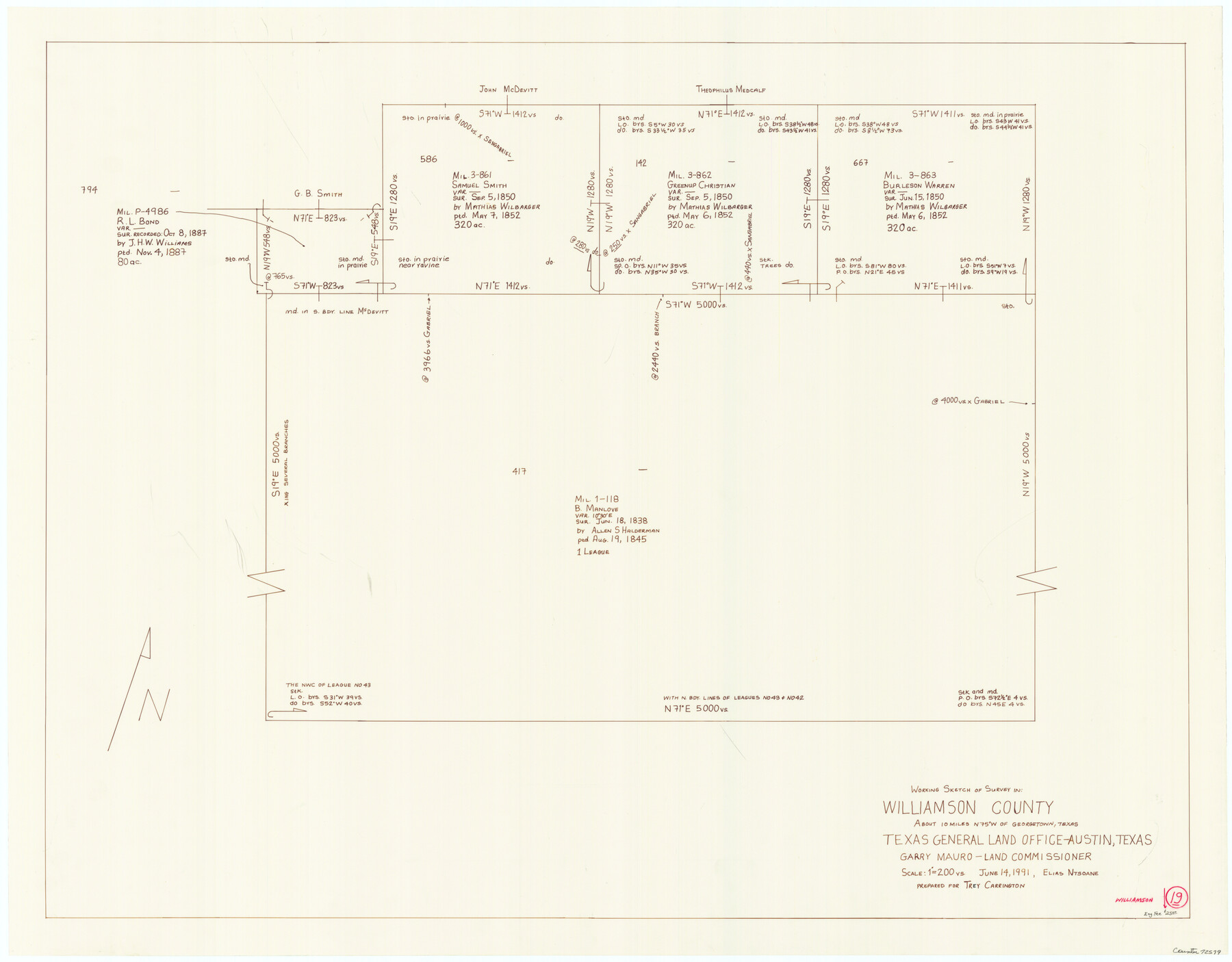
Williamson County Working Sketch 19
-
Map/Doc
72579
-
Collection
General Map Collection
-
Object Dates
6/14/1991 (Creation Date)
-
People and Organizations
Elias Ntsoane (Draftsman)
-
Counties
Williamson
-
Subjects
Surveying Working Sketch
-
Height x Width
31.2 x 40.0 inches
79.3 x 101.6 cm
-
Scale
1" = 200 varas
Part of: General Map Collection
[F. W. & D. C. Ry. Co. Alignment and Right of Way Map, Clay County]
![64743, [F. W. & D. C. Ry. Co. Alignment and Right of Way Map, Clay County], General Map Collection](https://historictexasmaps.com/wmedia_w700/maps/64743-GC.tif.jpg)
Print $20.00
- Digital $50.00
[F. W. & D. C. Ry. Co. Alignment and Right of Way Map, Clay County]
1927
Size 18.6 x 11.8 inches
Map/Doc 64743
Brazoria County NRC Article 33.136 Sketch 15

Print $44.00
- Digital $50.00
Brazoria County NRC Article 33.136 Sketch 15
2014
Size 39.8 x 30.0 inches
Map/Doc 94698
Mexican Boundary B. - Extract from the Treaty Map of Disturnell of 1847 referred to in Col. Graham's report to the Hon. The Secretary of the Interior of Aug. 16th, 1851

Print $20.00
- Digital $50.00
Mexican Boundary B. - Extract from the Treaty Map of Disturnell of 1847 referred to in Col. Graham's report to the Hon. The Secretary of the Interior of Aug. 16th, 1851
1851
Size 10.1 x 16.5 inches
Map/Doc 96525
Grayson County Working Sketch Graphic Index

Print $20.00
- Digital $50.00
Grayson County Working Sketch Graphic Index
1935
Size 44.4 x 41.0 inches
Map/Doc 76558
Duval County Rolled Sketch 51

Print $20.00
- Digital $50.00
Duval County Rolled Sketch 51
Size 19.1 x 16.9 inches
Map/Doc 5765
Nueces River, La Fruta Sheet

Print $20.00
- Digital $50.00
Nueces River, La Fruta Sheet
1927
Size 36.4 x 37.2 inches
Map/Doc 65089
Brewster County Working Sketch Graphic Index, East Part, Sheet 2 (Sketches 112 to Most Recent)

Print $40.00
- Digital $50.00
Brewster County Working Sketch Graphic Index, East Part, Sheet 2 (Sketches 112 to Most Recent)
1952
Size 48.1 x 30.5 inches
Map/Doc 76477
La Salle County Working Sketch 50

Print $40.00
- Digital $50.00
La Salle County Working Sketch 50
1985
Size 50.6 x 26.2 inches
Map/Doc 70351
Eastland County Working Sketch 42

Print $20.00
- Digital $50.00
Eastland County Working Sketch 42
1979
Size 43.5 x 35.0 inches
Map/Doc 68823
Travis County Working Sketch 61

Print $20.00
- Digital $50.00
Travis County Working Sketch 61
1995
Size 20.9 x 24.7 inches
Map/Doc 69445

Rockwall County Boundary File 8

Print $10.00
- Digital $50.00
Rockwall County Boundary File 8
Size 14.4 x 8.8 inches
Map/Doc 58428
You may also like
[Part of North line of County, North of Block G]
![90806, [Part of North line of County, North of Block G], Twichell Survey Records](https://historictexasmaps.com/wmedia_w700/maps/90806-1.tif.jpg)
Print $20.00
- Digital $50.00
[Part of North line of County, North of Block G]
Size 17.9 x 12.5 inches
Map/Doc 90806
[Surveys in DeLeon's Colony along the Garcitas River and Arenosa Creek, including the Victoria town tract]
![42, [Surveys in DeLeon's Colony along the Garcitas River and Arenosa Creek, including the Victoria town tract], General Map Collection](https://historictexasmaps.com/wmedia_w700/maps/42.tif.jpg)
Print $20.00
- Digital $50.00
[Surveys in DeLeon's Colony along the Garcitas River and Arenosa Creek, including the Victoria town tract]
1824
Size 22.1 x 17.6 inches
Map/Doc 42
Culberson County Rolled Sketch 43

Print $20.00
- Digital $50.00
Culberson County Rolled Sketch 43
1947
Size 20.5 x 36.7 inches
Map/Doc 5664
Houston County Rolled Sketch 8

Print $20.00
- Digital $50.00
Houston County Rolled Sketch 8
1948
Size 27.7 x 20.3 inches
Map/Doc 6228
Deaf Smith County

Print $40.00
- Digital $50.00
Deaf Smith County
1926
Size 38.5 x 50.3 inches
Map/Doc 95477
[Sketch in Crosby County]
![89759, [Sketch in Crosby County], Twichell Survey Records](https://historictexasmaps.com/wmedia_w700/maps/89759-1.tif.jpg)
Print $40.00
- Digital $50.00
[Sketch in Crosby County]
Size 54.6 x 46.5 inches
Map/Doc 89759
Midland County Working Sketch Graphic Index

Print $20.00
- Digital $50.00
Midland County Working Sketch Graphic Index
1930
Size 43.3 x 35.3 inches
Map/Doc 76641
Flight Mission No. CRC-6R, Frame 11, Chambers County

Print $20.00
- Digital $50.00
Flight Mission No. CRC-6R, Frame 11, Chambers County
1956
Size 18.6 x 22.3 inches
Map/Doc 84965
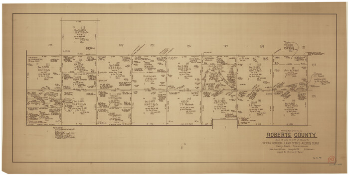
Roberts County Working Sketch 43
Print $20.00
- Digital $50.00
Roberts County Working Sketch 43
1990
Size 19.3 x 37.6 inches
Map/Doc 63569
Bastrop County

Print $40.00
- Digital $50.00
Bastrop County
1917
Size 48.0 x 40.5 inches
Map/Doc 4881
Motley County Sketch File 26 (S)

Print $6.00
- Digital $50.00
Motley County Sketch File 26 (S)
Size 10.7 x 15.6 inches
Map/Doc 32206
Jasper County Sketch File 18

Print $32.00
- Digital $50.00
Jasper County Sketch File 18
1890
Size 12.6 x 7.9 inches
Map/Doc 27808