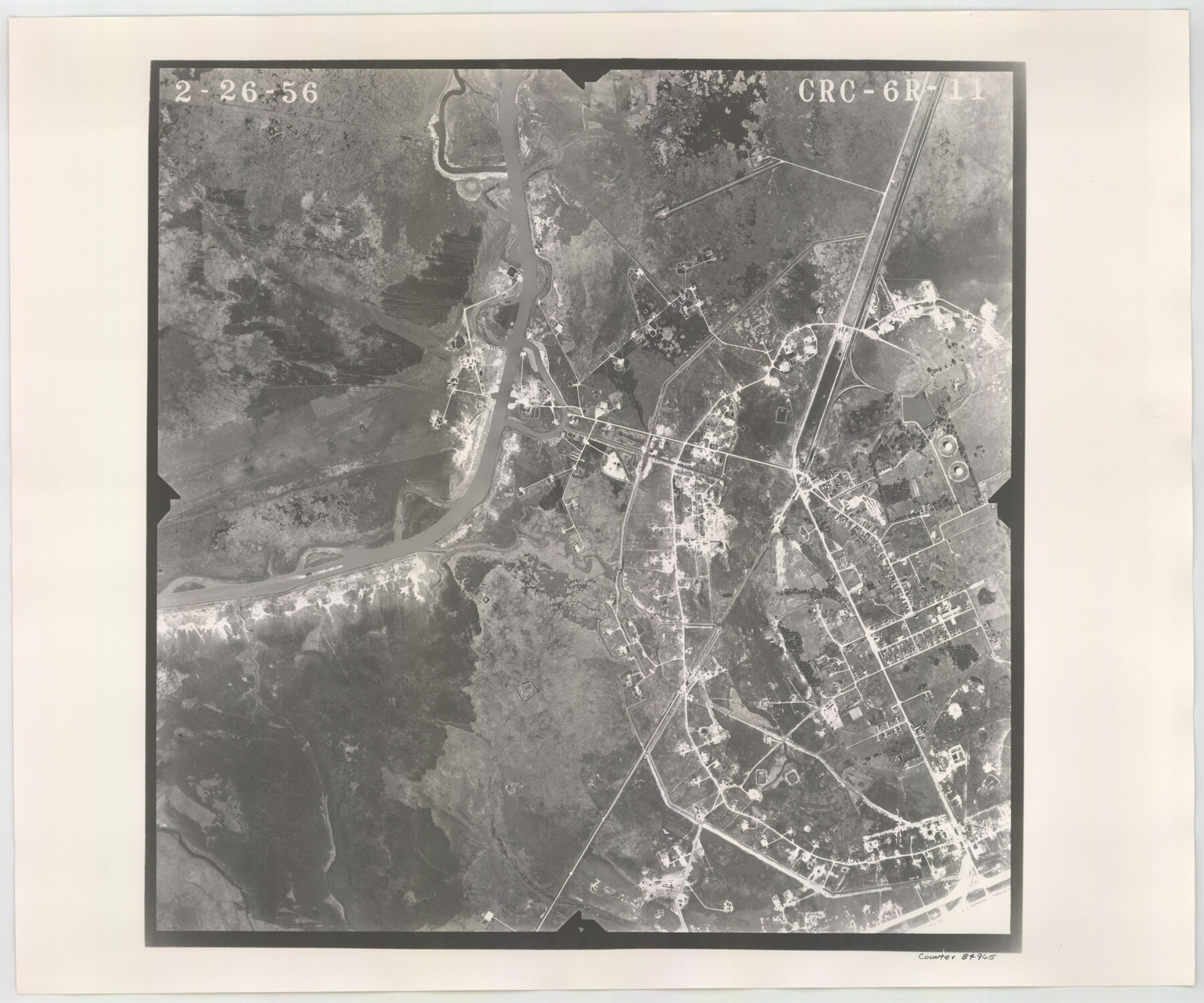
Flight Mission No. CRC-6R, Frame 11, Chambers County
CRC-6R-11
-
Map/Doc
84965
-
Collection
General Map Collection
-
Object Dates
1956/2/26 (Creation Date)
-
People and Organizations
U. S. Department of Agriculture (Publisher)
-
Counties
Chambers
-
Subjects
Aerial Photograph
-
Height x Width
18.6 x 22.3 inches
47.2 x 56.6 cm
-
Comments
Flown by Jack Ammann Photogrammetric Engineers, Inc. of San Antonio, Texas.
Part of: General Map Collection
Tarrant County Sketch File 9

Print $4.00
- Digital $50.00
Tarrant County Sketch File 9
1858
Size 6.5 x 8.4 inches
Map/Doc 37689
Presidio County Working Sketch 137

Print $20.00
- Digital $50.00
Presidio County Working Sketch 137
1990
Size 24.1 x 42.8 inches
Map/Doc 71815
Upshur County Working Sketch 16, revised

Print $20.00
- Digital $50.00
Upshur County Working Sketch 16, revised
1997
Size 42.9 x 37.2 inches
Map/Doc 69574
Culberson County Sketch File 20

Print $57.00
- Digital $50.00
Culberson County Sketch File 20
Size 10.2 x 15.6 inches
Map/Doc 20205
Howard County Sketch File 5

Print $3.00
- Digital $50.00
Howard County Sketch File 5
Size 20.0 x 12.8 inches
Map/Doc 11794
Archer County

Print $20.00
- Digital $50.00
Archer County
1926
Size 42.9 x 37.8 inches
Map/Doc 73070
Presidio County Working Sketch 17

Print $20.00
- Digital $50.00
Presidio County Working Sketch 17
1943
Size 17.5 x 30.9 inches
Map/Doc 71693
Henderson County Sketch File 9

Print $8.00
- Digital $50.00
Henderson County Sketch File 9
Size 8.3 x 7.8 inches
Map/Doc 26343
Wichita County Rolled Sketch 6

Print $20.00
- Digital $50.00
Wichita County Rolled Sketch 6
Size 12.9 x 18.5 inches
Map/Doc 8243
DeWitt County Working Sketch 3

Print $20.00
- Digital $50.00
DeWitt County Working Sketch 3
1957
Size 35.5 x 44.6 inches
Map/Doc 68593
Flight Mission No. CGI-3N, Frame 138, Cameron County

Print $20.00
- Digital $50.00
Flight Mission No. CGI-3N, Frame 138, Cameron County
1954
Size 18.7 x 22.2 inches
Map/Doc 84611
Plan of the City of Austin

Print $40.00
- Digital $50.00
Plan of the City of Austin
1840
Size 57.3 x 42.0 inches
Map/Doc 2179
You may also like
Henderson County Working Sketch 43

Print $20.00
- Digital $50.00
Henderson County Working Sketch 43
1994
Size 36.7 x 39.0 inches
Map/Doc 66176
Chambers County Sketch File 20

Print $4.00
- Digital $50.00
Chambers County Sketch File 20
Size 9.2 x 7.4 inches
Map/Doc 17591
Erath County Working Sketch 15

Print $20.00
- Digital $50.00
Erath County Working Sketch 15
1961
Size 19.8 x 15.4 inches
Map/Doc 69096
[Sketch showing PSL Blocks A39, A40, A50-A57]
![89737, [Sketch showing PSL Blocks A39, A40, A50-A57], Twichell Survey Records](https://historictexasmaps.com/wmedia_w700/maps/89737-1.tif.jpg)
Print $40.00
- Digital $50.00
[Sketch showing PSL Blocks A39, A40, A50-A57]
Size 27.8 x 63.5 inches
Map/Doc 89737
Smith County Rolled Sketch 6D2

Print $2.00
- Digital $50.00
Smith County Rolled Sketch 6D2
Size 11.3 x 8.9 inches
Map/Doc 76014
Map of the International and Great Northern Railroad between Austin and San Antonio, Texas

Print $40.00
- Digital $50.00
Map of the International and Great Northern Railroad between Austin and San Antonio, Texas
1881
Size 43.2 x 96.0 inches
Map/Doc 64777
Texas, Intracoastal Waterway, Ayres Bay to Aransas Bay

Print $40.00
- Digital $50.00
Texas, Intracoastal Waterway, Ayres Bay to Aransas Bay
1934
Size 33.2 x 48.5 inches
Map/Doc 69997
Flight Mission No. CGI-4N, Frame 23, Cameron County

Print $20.00
- Digital $50.00
Flight Mission No. CGI-4N, Frame 23, Cameron County
1954
Size 18.6 x 22.4 inches
Map/Doc 84656
Map of Coryell County

Print $20.00
- Digital $50.00
Map of Coryell County
1855
Size 22.5 x 23.0 inches
Map/Doc 3447
Presidio County Rolled Sketch 57

Print $20.00
- Digital $50.00
Presidio County Rolled Sketch 57
1915
Size 22.8 x 17.3 inches
Map/Doc 7350
Willie Winn Tract

Print $2.00
- Digital $50.00
Willie Winn Tract
1903
Size 5.9 x 7.6 inches
Map/Doc 92285
Young County Sketch File 21

Print $20.00
- Digital $50.00
Young County Sketch File 21
1954
Size 19.0 x 23.0 inches
Map/Doc 12715