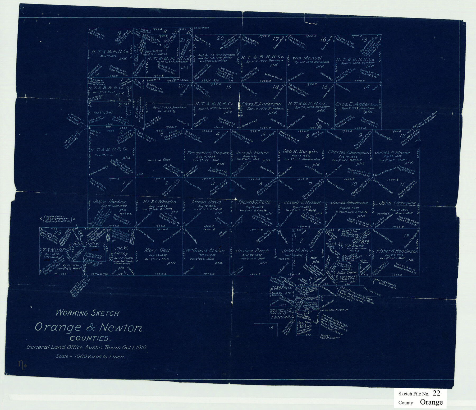
Orange County Sketch File 22
Working Sketch in Orange & Newton Counties, Texas
-
Map/Doc
12121
-
Collection
General Map Collection
-
Object Dates
10/1/1910 (Creation Date)
-
Counties
Orange Newton
-
Subjects
Surveying Sketch File
-
Height x Width
16.2 x 18.7 inches
41.2 x 47.5 cm
-
Medium
blueprint/diazo
-
Scale
1" = 1000 varas
-
Features
Cow Bayou
Part of: General Map Collection
Map of the country adjacent to the left bank of the Rio Grande below Matamoros

Print $20.00
- Digital $50.00
Map of the country adjacent to the left bank of the Rio Grande below Matamoros
1847
Size 18.3 x 27.5 inches
Map/Doc 72867
Burnet County Boundary File 7a

Print $30.00
- Digital $50.00
Burnet County Boundary File 7a
Size 14.1 x 8.5 inches
Map/Doc 50902
Loving County

Print $20.00
- Digital $50.00
Loving County
1932
Size 36.0 x 46.7 inches
Map/Doc 95575
Houston County

Print $20.00
- Digital $50.00
Houston County
1888
Size 24.5 x 26.1 inches
Map/Doc 3683

[Gulf, Colorado & Santa Fe Railway Company]
![64410, [Gulf, Colorado & Santa Fe Railway Company], General Map Collection](https://historictexasmaps.com/wmedia_w700/maps/64410.tif.jpg)
Print $40.00
- Digital $50.00
[Gulf, Colorado & Santa Fe Railway Company]
1893
Size 21.5 x 121.2 inches
Map/Doc 64410
McMullen County Sketch File 25

Print $6.00
- Digital $50.00
McMullen County Sketch File 25
1877
Size 8.5 x 14.2 inches
Map/Doc 31383
Hudspeth County Sketch File 26

Print $20.00
- Digital $50.00
Hudspeth County Sketch File 26
Size 42.5 x 23.9 inches
Map/Doc 10496
Loving County Sketch File 5

Print $10.00
- Digital $50.00
Loving County Sketch File 5
Size 9.7 x 8.3 inches
Map/Doc 30412
Frio County Sketch File 20

Print $6.00
- Digital $50.00
Frio County Sketch File 20
1964
Size 14.2 x 8.8 inches
Map/Doc 23159
Val Verde County

Print $20.00
- Digital $50.00
Val Verde County
1944
Size 42.0 x 37.0 inches
Map/Doc 63103
Flight Mission No. BQR-9K, Frame 43, Brazoria County

Print $20.00
- Digital $50.00
Flight Mission No. BQR-9K, Frame 43, Brazoria County
1952
Size 18.6 x 22.3 inches
Map/Doc 84047
You may also like
Sutton County Sketch File 26

Print $20.00
- Digital $50.00
Sutton County Sketch File 26
1929
Size 19.6 x 14.8 inches
Map/Doc 12383
Texas, Corpus Christi Bay, Nueces Bay

Print $40.00
- Digital $50.00
Texas, Corpus Christi Bay, Nueces Bay
1934
Size 34.0 x 48.9 inches
Map/Doc 73458
Hardin County Sketch File 46

Print $8.00
- Digital $50.00
Hardin County Sketch File 46
1875
Size 12.8 x 8.4 inches
Map/Doc 25196
The Mexican Municipality of Jefferson. Defined, December 9, 1835

Print $20.00
The Mexican Municipality of Jefferson. Defined, December 9, 1835
2020
Size 15.5 x 21.7 inches
Map/Doc 96024
Duval County Working Sketch 10

Print $20.00
- Digital $50.00
Duval County Working Sketch 10
1936
Size 20.1 x 20.3 inches
Map/Doc 68723
Castro County Working Sketch 6

Print $20.00
- Digital $50.00
Castro County Working Sketch 6
1975
Size 28.4 x 26.4 inches
Map/Doc 67901
Kerr County Working Sketch 17

Print $20.00
- Digital $50.00
Kerr County Working Sketch 17
1956
Size 20.0 x 23.7 inches
Map/Doc 70048
Map of Tom Green County

Print $20.00
- Digital $50.00
Map of Tom Green County
1892
Size 43.8 x 42.6 inches
Map/Doc 16898
Presidio County Rolled Sketch 80B

Print $20.00
- Digital $50.00
Presidio County Rolled Sketch 80B
1943
Size 17.4 x 18.3 inches
Map/Doc 2060
Andrews County Sketch File 6

Print $9.00
- Digital $50.00
Andrews County Sketch File 6
1942
Size 9.6 x 10.6 inches
Map/Doc 12825
General Highway Map. Detail of Cities and Towns in Hale County, Texas [Plainview and vicinity]
![79494, General Highway Map. Detail of Cities and Towns in Hale County, Texas [Plainview and vicinity], Texas State Library and Archives](https://historictexasmaps.com/wmedia_w700/maps/79494.tif.jpg)
Print $20.00
General Highway Map. Detail of Cities and Towns in Hale County, Texas [Plainview and vicinity]
1961
Size 24.6 x 18.2 inches
Map/Doc 79494
Sterling County Sketch File 23

Print $10.00
- Digital $50.00
Sterling County Sketch File 23
1955
Size 11.2 x 8.8 inches
Map/Doc 37184