General Highway Map. Detail of Cities and Towns in Hale County, Texas [Plainview and vicinity]
-
Map/Doc
79494
-
Collection
Texas State Library and Archives
-
Object Dates
1961 (Creation Date)
-
People and Organizations
Texas State Highway Department (Publisher)
-
Counties
Hale
-
Subjects
City County
-
Height x Width
24.6 x 18.2 inches
62.5 x 46.2 cm
-
Comments
Prints available courtesy of the Texas State Library and Archives.
More info can be found here: TSLAC Map 05155
Part of: Texas State Library and Archives
General Highway Map, Bastrop County, Texas
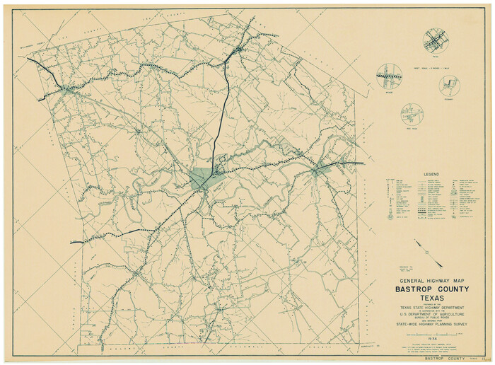

Print $20.00
General Highway Map, Bastrop County, Texas
1940
Size 18.6 x 25.2 inches
Map/Doc 79012
General Highway Map, Kerr County, Texas


Print $20.00
General Highway Map, Kerr County, Texas
1961
Size 24.6 x 18.2 inches
Map/Doc 79552
General Highway Map, King County, Texas


Print $20.00
General Highway Map, King County, Texas
1961
Size 18.2 x 24.6 inches
Map/Doc 79555
Classification of Land Uses in Texas by Counties


Print $20.00
Classification of Land Uses in Texas by Counties
1935
Size 35.6 x 46.1 inches
Map/Doc 76310
General Highway Map, Gregg County, Texas
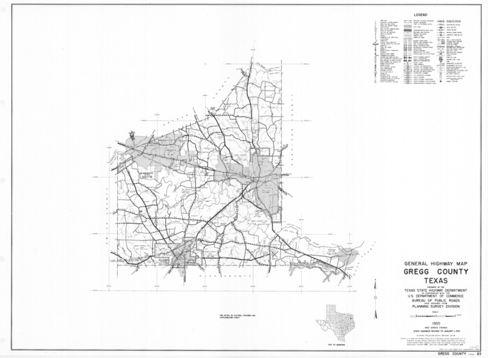

Print $20.00
General Highway Map, Gregg County, Texas
1961
Size 18.1 x 24.7 inches
Map/Doc 79488
General Highway Map, Nacogdoches County, Texas
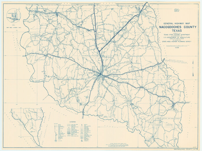

Print $20.00
General Highway Map, Nacogdoches County, Texas
1940
Size 18.5 x 24.7 inches
Map/Doc 79205
General Highway Map, Loving County, Texas


Print $20.00
General Highway Map, Loving County, Texas
1961
Size 18.1 x 24.6 inches
Map/Doc 79577
General Highway Map, Oldham County, Texas
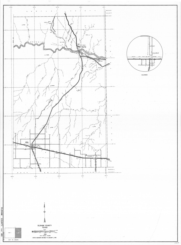

Print $20.00
General Highway Map, Oldham County, Texas
1961
Size 24.6 x 18.2 inches
Map/Doc 79620
General Highway Map. Detail of Cities and Towns in Lubbock County, Texas [Lubbock and vicinity]
![79181, General Highway Map. Detail of Cities and Towns in Lubbock County, Texas [Lubbock and vicinity], Texas State Library and Archives](https://historictexasmaps.com/wmedia_w700/maps/79181.tif.jpg)
![79181, General Highway Map. Detail of Cities and Towns in Lubbock County, Texas [Lubbock and vicinity], Texas State Library and Archives](https://historictexasmaps.com/wmedia_w700/maps/79181.tif.jpg)
Print $20.00
General Highway Map. Detail of Cities and Towns in Lubbock County, Texas [Lubbock and vicinity]
1940
Size 18.3 x 24.8 inches
Map/Doc 79181
General Highway Map, Red River County, Texas
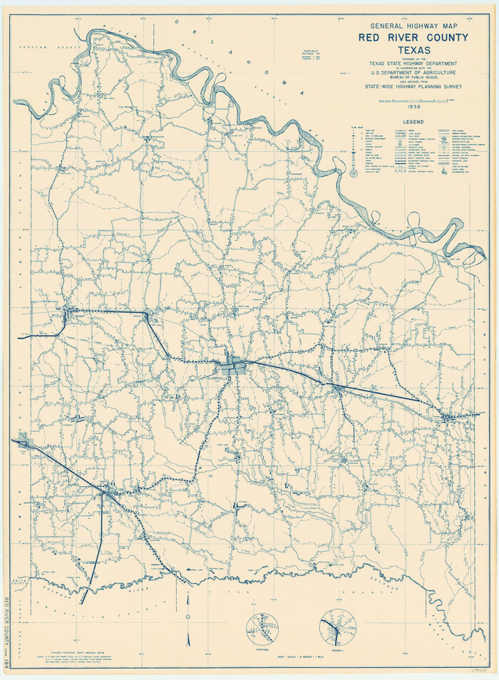

Print $20.00
General Highway Map, Red River County, Texas
1940
Size 25.0 x 18.3 inches
Map/Doc 79226
General Highway Map, Liberty County, Texas
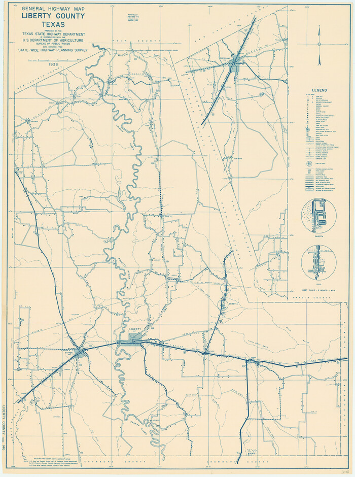

Print $20.00
General Highway Map, Liberty County, Texas
1940
Size 24.6 x 18.3 inches
Map/Doc 79173
Map of Texas and Parts of Adjoining Territories


Print $20.00
Map of Texas and Parts of Adjoining Territories
1899
Size 33.7 x 36.0 inches
Map/Doc 79304
You may also like
Hockley County
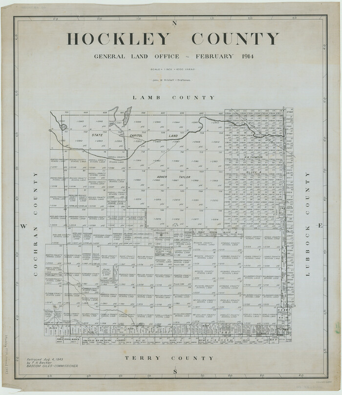

Print $20.00
- Digital $50.00
Hockley County
1914
Size 25.8 x 22.4 inches
Map/Doc 66866
Flight Mission No. BQR-5K, Frame 70, Brazoria County
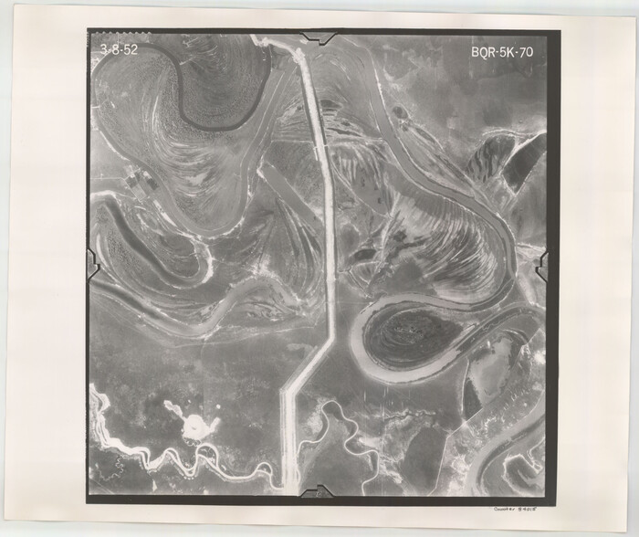

Print $20.00
- Digital $50.00
Flight Mission No. BQR-5K, Frame 70, Brazoria County
1952
Size 18.8 x 22.4 inches
Map/Doc 84015
Scurry County Rolled Sketch 6


Print $20.00
- Digital $50.00
Scurry County Rolled Sketch 6
1944
Size 29.0 x 28.8 inches
Map/Doc 7766
South Part of Brewster Co.


Print $40.00
- Digital $50.00
South Part of Brewster Co.
1955
Size 49.3 x 41.3 inches
Map/Doc 66735
General Highway Map, Denton County, Texas
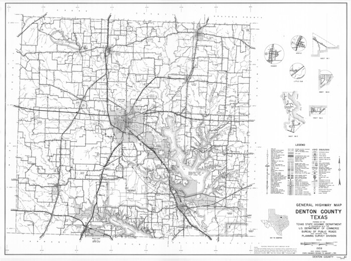

Print $20.00
General Highway Map, Denton County, Texas
1961
Size 18.2 x 24.5 inches
Map/Doc 79441
Eastland County Working Sketch 51
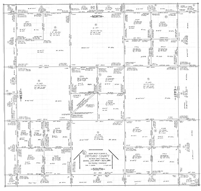

Print $20.00
- Digital $50.00
Eastland County Working Sketch 51
1982
Size 37.7 x 39.6 inches
Map/Doc 68832
Guadalupe County Sketch File 15d


Print $4.00
- Digital $50.00
Guadalupe County Sketch File 15d
Size 10.1 x 8.1 inches
Map/Doc 24705
Culberson County Working Sketch 64
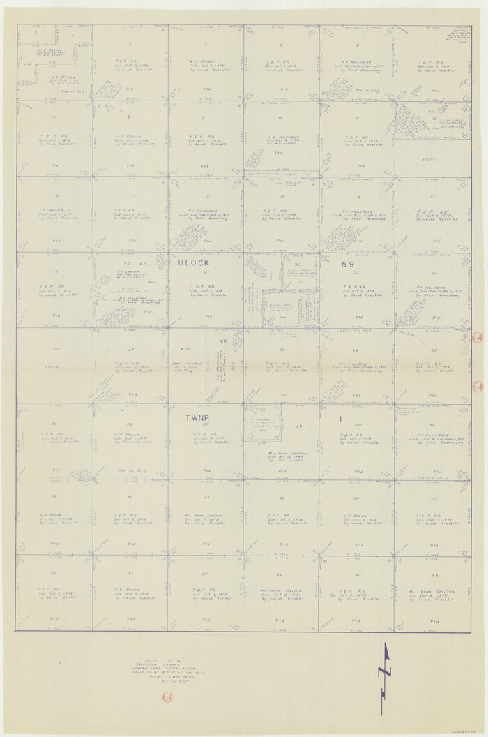

Print $20.00
- Digital $50.00
Culberson County Working Sketch 64
1975
Size 46.5 x 30.8 inches
Map/Doc 68518
Flight Mission No. CGN-1G, Frame 26, San Patricio County


Print $20.00
- Digital $50.00
Flight Mission No. CGN-1G, Frame 26, San Patricio County
1950
Size 9.4 x 9.4 inches
Map/Doc 87113
Montgomery County Working Sketch 13
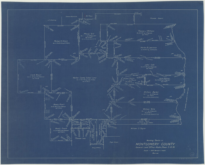

Print $20.00
- Digital $50.00
Montgomery County Working Sketch 13
1934
Size 24.4 x 30.4 inches
Map/Doc 71120
Schleicher County Sketch File 3
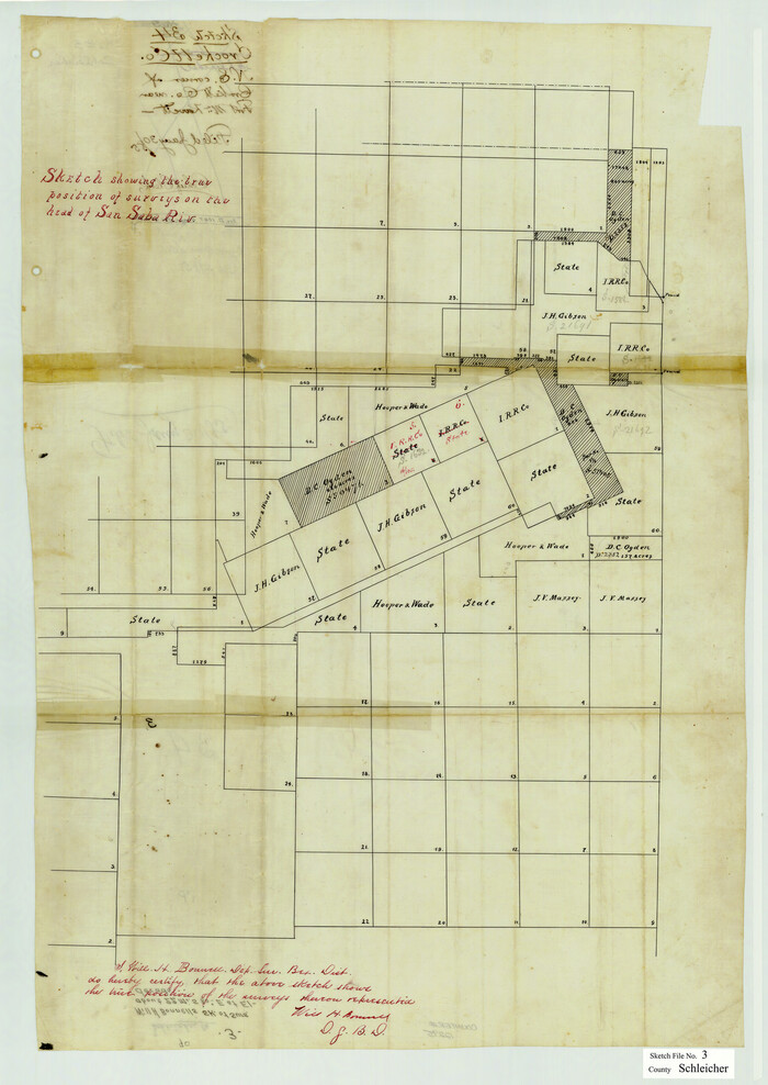

Print $20.00
- Digital $50.00
Schleicher County Sketch File 3
Size 28.1 x 19.9 inches
Map/Doc 12295
Montague County Working Sketch 31
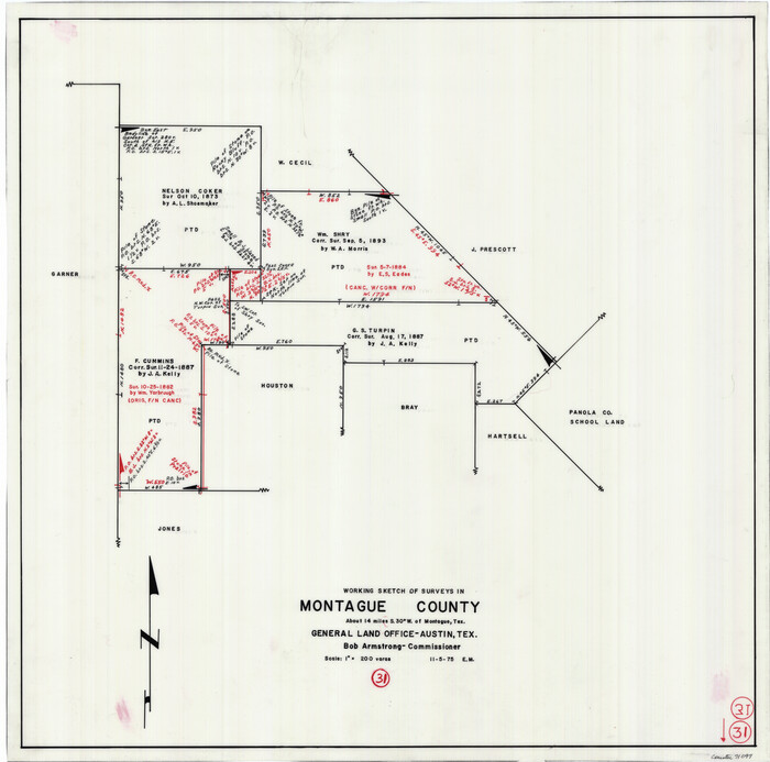

Print $20.00
- Digital $50.00
Montague County Working Sketch 31
1975
Size 25.5 x 25.8 inches
Map/Doc 71097
![79494, General Highway Map. Detail of Cities and Towns in Hale County, Texas [Plainview and vicinity], Texas State Library and Archives](https://historictexasmaps.com/wmedia_w1800h1800/maps/79494.tif.jpg)