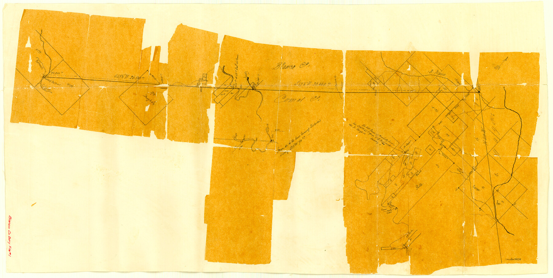
Blanco County Boundary File 1
Plat of Blanco-Comal Boundary Line
-
Map/Doc
50539
-
Collection
General Map Collection
-
Counties
Blanco
-
Subjects
County Boundaries
-
Height x Width
11.6 x 23.1 inches
29.5 x 58.7 cm
Part of: General Map Collection
Menard County Sketch File 30

Print $4.00
- Digital $50.00
Menard County Sketch File 30
1977
Size 14.3 x 8.6 inches
Map/Doc 31571
Hunt County Sketch File 5a

Print $6.00
- Digital $50.00
Hunt County Sketch File 5a
1852
Size 10.2 x 15.8 inches
Map/Doc 27093
Lamar County Working Sketch 9

Print $20.00
- Digital $50.00
Lamar County Working Sketch 9
1975
Size 42.1 x 27.9 inches
Map/Doc 70270
Flight Mission No. CUG-3P, Frame 159, Kleberg County

Print $20.00
- Digital $50.00
Flight Mission No. CUG-3P, Frame 159, Kleberg County
1956
Size 18.7 x 22.3 inches
Map/Doc 86279
Presidio County Sketch File 95

Print $22.00
- Digital $50.00
Presidio County Sketch File 95
1958
Size 12.7 x 16.4 inches
Map/Doc 34773
Flight Mission No. DQN-2K, Frame 96, Calhoun County

Print $20.00
- Digital $50.00
Flight Mission No. DQN-2K, Frame 96, Calhoun County
1953
Size 18.8 x 22.4 inches
Map/Doc 84286
San Augustine County Working Sketch 23

Print $20.00
- Digital $50.00
San Augustine County Working Sketch 23
1974
Size 23.6 x 36.4 inches
Map/Doc 63711

Dawson County Sketch File 11

Print $20.00
- Digital $50.00
Dawson County Sketch File 11
1927
Size 18.6 x 20.9 inches
Map/Doc 11293
[Beaumont, Sour Lake and Western Ry. Right of Way and Alignment - Frisco]
![64130, [Beaumont, Sour Lake and Western Ry. Right of Way and Alignment - Frisco], General Map Collection](https://historictexasmaps.com/wmedia_w700/maps/64130.tif.jpg)
Print $20.00
- Digital $50.00
[Beaumont, Sour Lake and Western Ry. Right of Way and Alignment - Frisco]
1910
Size 20.3 x 45.9 inches
Map/Doc 64130
Leon County Working Sketch Graphic Index

Print $20.00
- Digital $50.00
Leon County Working Sketch Graphic Index
1977
Size 46.8 x 41.5 inches
Map/Doc 76618
Blanco County Working Sketch 20

Print $20.00
- Digital $50.00
Blanco County Working Sketch 20
1960
Size 27.3 x 36.4 inches
Map/Doc 67380
You may also like
Tarrant County Sketch File 25

Print $4.00
- Digital $50.00
Tarrant County Sketch File 25
1873
Size 8.2 x 8.6 inches
Map/Doc 37737
Flight Mission No. CGI-3N, Frame 110, Cameron County

Print $20.00
- Digital $50.00
Flight Mission No. CGI-3N, Frame 110, Cameron County
1954
Size 18.5 x 22.1 inches
Map/Doc 84590
Hansford County School Land

Print $20.00
- Digital $50.00
Hansford County School Land
1892
Size 33.3 x 20.7 inches
Map/Doc 92512
Mills County Working Sketch 11

Print $20.00
- Digital $50.00
Mills County Working Sketch 11
1930
Size 22.5 x 14.4 inches
Map/Doc 71041
The Republic County of Washington. January 15, 1842

Print $20.00
The Republic County of Washington. January 15, 1842
2020
Size 11.8 x 21.7 inches
Map/Doc 96306
Hudspeth County Working Sketch 62

Print $20.00
- Digital $50.00
Hudspeth County Working Sketch 62
1993
Size 23.9 x 32.4 inches
Map/Doc 66347
Culberson County Rolled Sketch 33

Print $20.00
- Digital $50.00
Culberson County Rolled Sketch 33
1937
Size 36.4 x 27.9 inches
Map/Doc 5658
Sutton County Sketch File 53

Print $6.00
- Digital $50.00
Sutton County Sketch File 53
1948
Size 11.5 x 10.2 inches
Map/Doc 37532
[Sketch for Mineral Application 24072, San Jacinto River]
![65605, [Sketch for Mineral Application 24072, San Jacinto River], General Map Collection](https://historictexasmaps.com/wmedia_w700/maps/65605.tif.jpg)
Print $20.00
- Digital $50.00
[Sketch for Mineral Application 24072, San Jacinto River]
1929
Size 23.4 x 17.8 inches
Map/Doc 65605
Garza County Working Sketch 14

Print $20.00
- Digital $50.00
Garza County Working Sketch 14
1957
Size 24.3 x 35.0 inches
Map/Doc 63161
King County Sketch File 6 (1)

Print $43.00
- Digital $50.00
King County Sketch File 6 (1)
1897
Size 14.5 x 15.7 inches
Map/Doc 29027
Dr. Ross Trigg's Ranch [Block 29E, Townships 14N and 15N]
![92036, Dr. Ross Trigg's Ranch [Block 29E, Townships 14N and 15N], Twichell Survey Records](https://historictexasmaps.com/wmedia_w700/maps/92036-1.tif.jpg)
Print $20.00
- Digital $50.00
Dr. Ross Trigg's Ranch [Block 29E, Townships 14N and 15N]
Size 25.8 x 19.6 inches
Map/Doc 92036