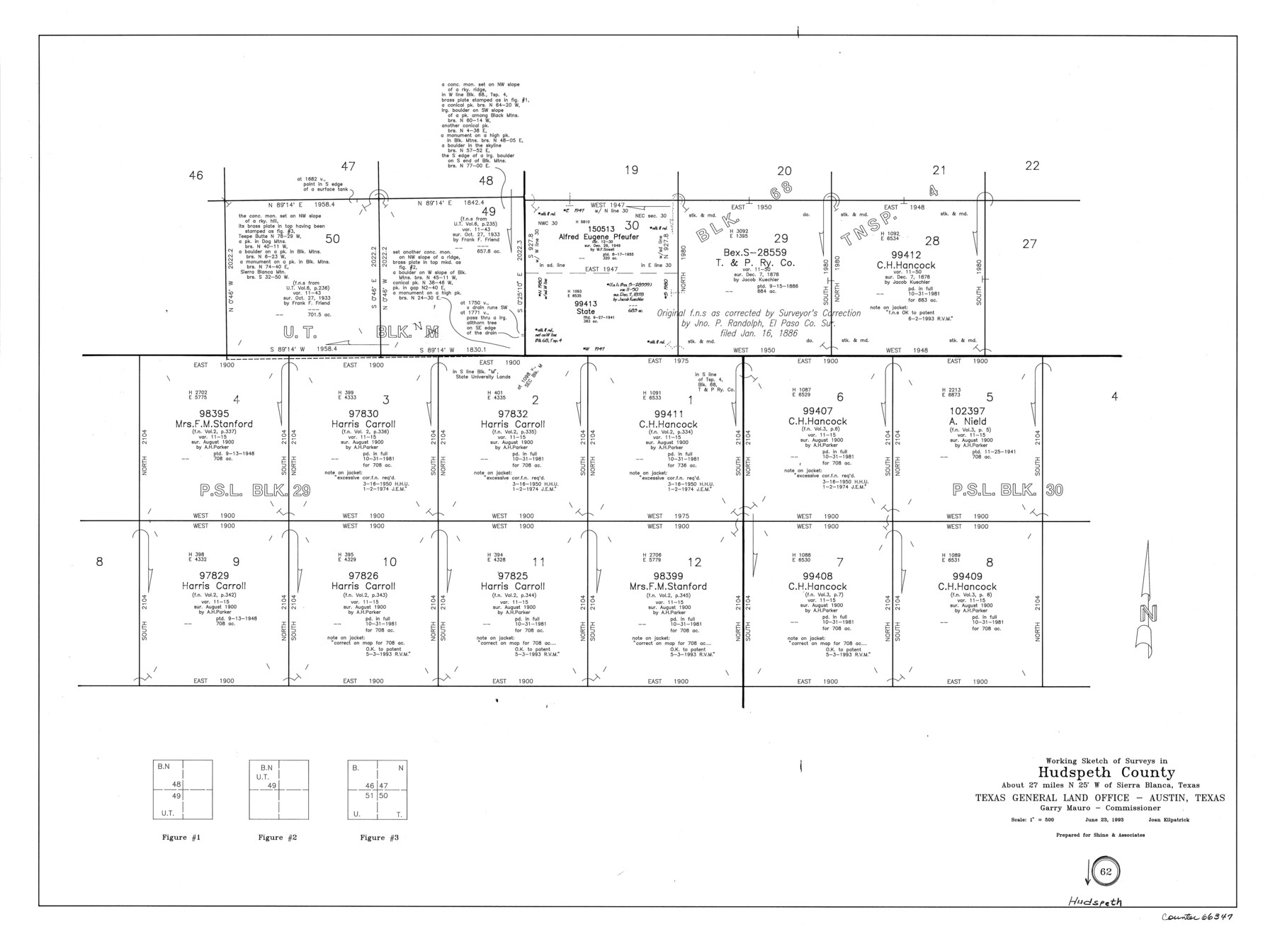
Hudspeth County Working Sketch 62
-
Map/Doc
66347
-
Collection
General Map Collection
-
Object Dates
6/23/1993 (Creation Date)
-
People and Organizations
Joan Kilpatrick (Draftsman)
-
Counties
Hudspeth
-
Subjects
Surveying Working Sketch
-
Height x Width
23.9 x 32.4 inches
60.7 x 82.3 cm
-
Scale
1" = 500 varas
Part of: General Map Collection
Stonewall County Working Sketch 29

Print $40.00
- Digital $50.00
Stonewall County Working Sketch 29
1979
Size 48.5 x 43.0 inches
Map/Doc 62336
Culberson County Working Sketch 74

Print $40.00
- Digital $50.00
Culberson County Working Sketch 74
1975
Size 51.4 x 35.5 inches
Map/Doc 68528
Hydrographic Survey H-1288B Corpus Christi Pass

Print $40.00
- Digital $50.00
Hydrographic Survey H-1288B Corpus Christi Pass
1875
Size 31.0 x 52.6 inches
Map/Doc 2691
[San Antonio & Aransas Pass]
![64209, [San Antonio & Aransas Pass], General Map Collection](https://historictexasmaps.com/wmedia_w700/maps/64209.tif.jpg)
Print $20.00
- Digital $50.00
[San Antonio & Aransas Pass]
Size 15.2 x 45.5 inches
Map/Doc 64209
Flight Mission No. DIX-7P, Frame 84, Aransas County

Print $20.00
- Digital $50.00
Flight Mission No. DIX-7P, Frame 84, Aransas County
1956
Size 18.8 x 22.8 inches
Map/Doc 83878
Atascosa County Sketch File 40

Print $40.00
- Digital $50.00
Atascosa County Sketch File 40
1881
Size 15.2 x 12.6 inches
Map/Doc 13835
Hockley County

Print $20.00
- Digital $50.00
Hockley County
1914
Size 25.9 x 23.1 inches
Map/Doc 4980
Childress County

Print $20.00
- Digital $50.00
Childress County
1921
Size 43.4 x 32.3 inches
Map/Doc 1800
Falls County Sketch File 4

Print $4.00
- Digital $50.00
Falls County Sketch File 4
1856
Size 10.3 x 8.3 inches
Map/Doc 22335
Medina County Working Sketch 25

Print $20.00
- Digital $50.00
Medina County Working Sketch 25
1985
Size 37.6 x 42.9 inches
Map/Doc 70940
Flight Mission No. CRC-1R, Frame 34, Chambers County

Print $20.00
- Digital $50.00
Flight Mission No. CRC-1R, Frame 34, Chambers County
1956
Size 18.8 x 22.4 inches
Map/Doc 84702
Flight Mission No. BRA-16M, Frame 160, Jefferson County

Print $20.00
- Digital $50.00
Flight Mission No. BRA-16M, Frame 160, Jefferson County
1953
Size 18.7 x 22.3 inches
Map/Doc 85758
You may also like
Hutchinson County Rolled Sketch 23

Print $20.00
- Digital $50.00
Hutchinson County Rolled Sketch 23
1913
Size 29.7 x 25.6 inches
Map/Doc 6288
Throckmorton County Sketch File 14

Print $16.00
- Digital $50.00
Throckmorton County Sketch File 14
2004
Size 11.0 x 8.5 inches
Map/Doc 82481
Topographical Map of the Rio Grande, Sheet No. 8

Print $20.00
- Digital $50.00
Topographical Map of the Rio Grande, Sheet No. 8
1912
Map/Doc 89532
Rusk County Working Sketch 10

Print $20.00
- Digital $50.00
Rusk County Working Sketch 10
1980
Size 22.4 x 20.6 inches
Map/Doc 63645
Maverick County Sketch File 11

Print $40.00
- Digital $50.00
Maverick County Sketch File 11
1879
Size 8.3 x 8.8 inches
Map/Doc 31092
Flight Mission No. DQO-1K, Frame 146, Galveston County

Print $20.00
- Digital $50.00
Flight Mission No. DQO-1K, Frame 146, Galveston County
1952
Size 18.9 x 22.5 inches
Map/Doc 84999
Calhoun County Sketch File 6

Print $34.00
- Digital $50.00
Calhoun County Sketch File 6
1942
Size 9.3 x 9.0 inches
Map/Doc 35908
Nine Central Panhandle Counties, Texas

Print $20.00
- Digital $50.00
Nine Central Panhandle Counties, Texas
1899
Size 41.3 x 35.3 inches
Map/Doc 89790
Menard County Sketch File 10

Print $20.00
- Digital $50.00
Menard County Sketch File 10
1885
Size 32.5 x 18.0 inches
Map/Doc 12074
McCulloch County Working Sketch 18

Print $20.00
- Digital $50.00
McCulloch County Working Sketch 18
1997
Size 42.9 x 32.8 inches
Map/Doc 70693
Wood County Boundary File 2a

Print $6.00
- Digital $50.00
Wood County Boundary File 2a
Size 10.0 x 8.0 inches
Map/Doc 60159
Dimmit County Working Sketch 18

Print $20.00
- Digital $50.00
Dimmit County Working Sketch 18
1946
Size 33.5 x 35.0 inches
Map/Doc 68679