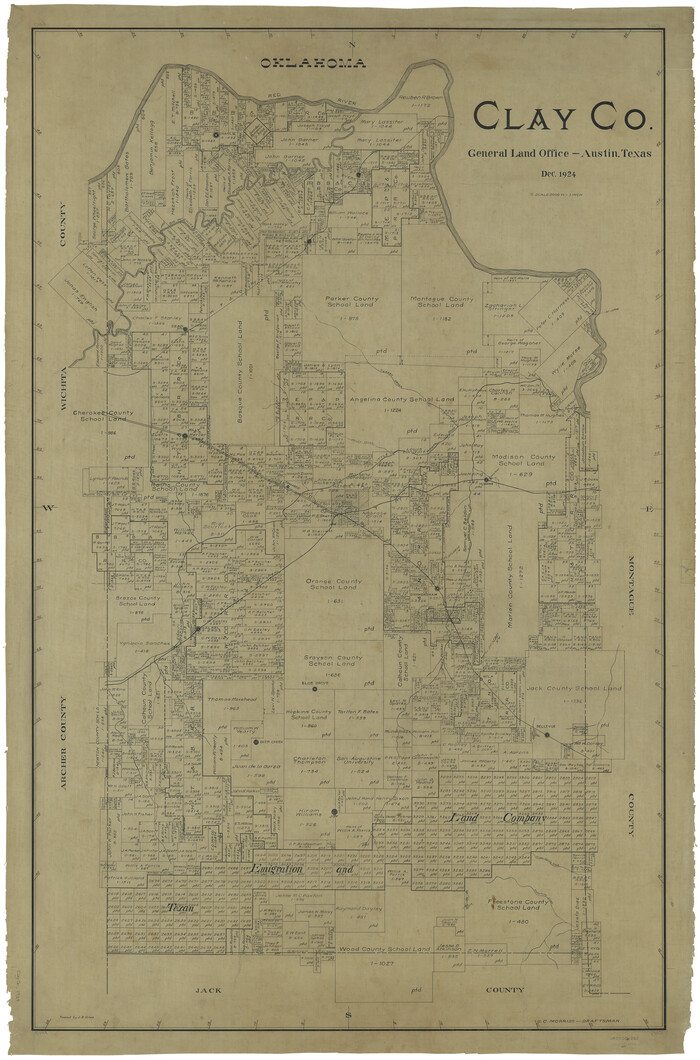
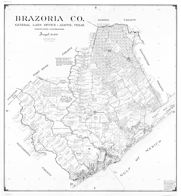
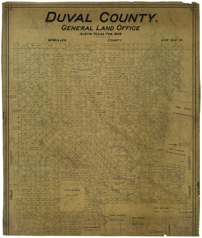
Childress County
RM-1-38
-
Map/Doc
1800
-
Collection
General Map Collection
-
Object Dates
3/24/1921 (Creation Date)
-
People and Organizations
Texas General Land Office (Publisher)
John D. Hedick (Draftsman)
John D. Hedick (Compiler)
-
Counties
Childress
-
Subjects
County
-
Height x Width
43.4 x 32.3 inches
110.2 x 82.0 cm
-
Comments
Traced by J. Bascom Giles.
Part of: General Map Collection
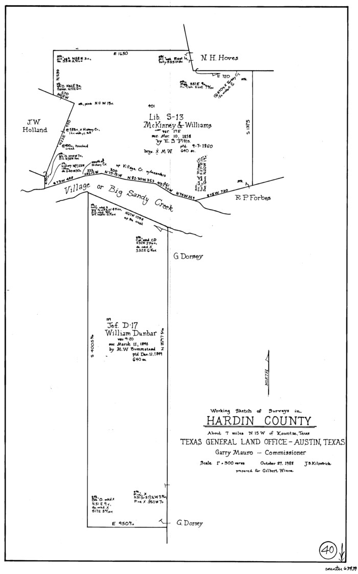
Hardin County Working Sketch 40

Print $20.00
- Digital $50.00
Hardin County Working Sketch 40
1988
Size 23.0 x 14.4 inches
Map/Doc 63439
Jim Hogg County Rolled Sketch 13

Print $65.00
- Digital $50.00
Jim Hogg County Rolled Sketch 13
1913
Size 21.9 x 28.1 inches
Map/Doc 6444
The Coast of New Spain from Neuva Vera Cruz to Triste Island


Print $20.00
- Digital $50.00
The Coast of New Spain from Neuva Vera Cruz to Triste Island
1775
Size 21.0 x 28.9 inches
Map/Doc 95919
Webb County Working Sketch 95
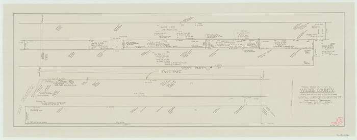

Print $20.00
- Digital $50.00
Webb County Working Sketch 95
1991
Size 16.6 x 42.2 inches
Map/Doc 72462
Webb County Rolled Sketch 70
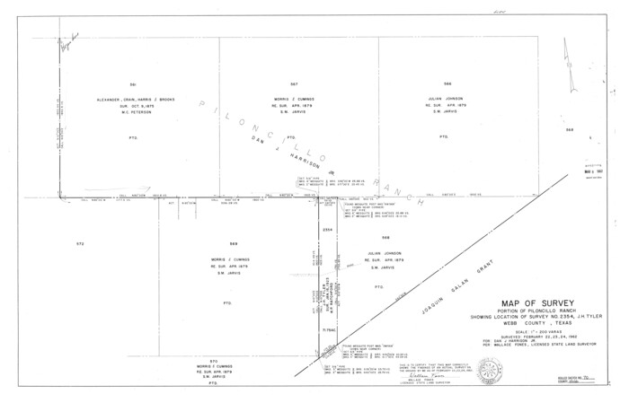

Print $20.00
- Digital $50.00
Webb County Rolled Sketch 70
Size 24.0 x 37.4 inches
Map/Doc 8217
Northern Part of Laguna Madre
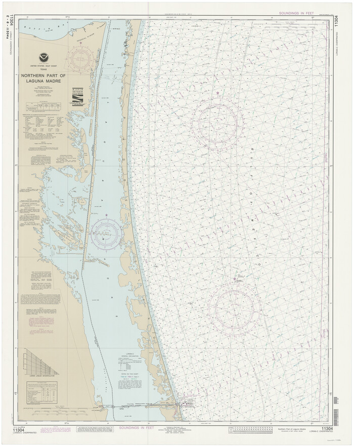

Print $20.00
- Digital $50.00
Northern Part of Laguna Madre
1992
Size 45.4 x 35.3 inches
Map/Doc 73532
J No. 5 - Reconnaissance of San Pedro Harbor, California


Print $20.00
- Digital $50.00
J No. 5 - Reconnaissance of San Pedro Harbor, California
1852
Size 12.3 x 15.5 inches
Map/Doc 97232
Flight Mission No. CUG-3P, Frame 165, Kleberg County


Print $20.00
- Digital $50.00
Flight Mission No. CUG-3P, Frame 165, Kleberg County
1956
Size 18.5 x 22.2 inches
Map/Doc 86285
Terrell County Working Sketch 40
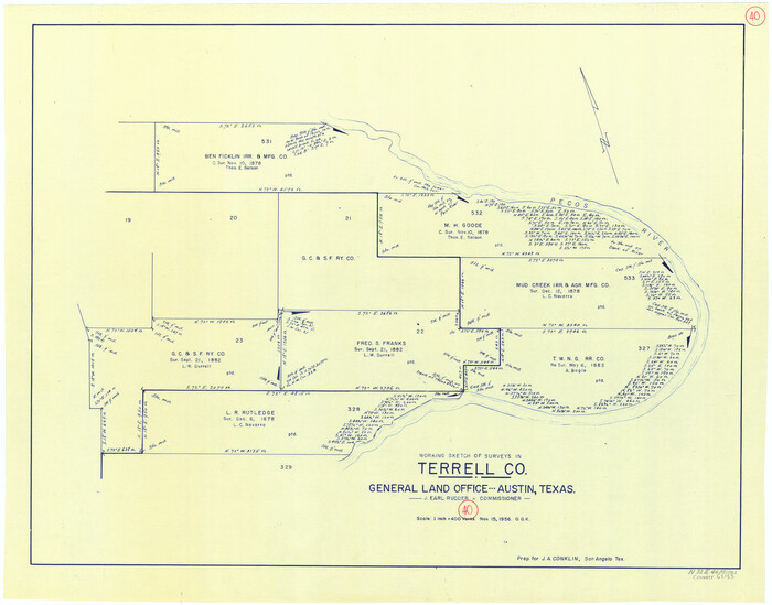

Print $20.00
- Digital $50.00
Terrell County Working Sketch 40
1956
Size 22.9 x 29.1 inches
Map/Doc 62133
Outer Continental Shelf Leasing Maps (Louisiana Offshore Operations)


Print $20.00
- Digital $50.00
Outer Continental Shelf Leasing Maps (Louisiana Offshore Operations)
1959
Size 17.7 x 13.9 inches
Map/Doc 76108
Map of DeWitt County
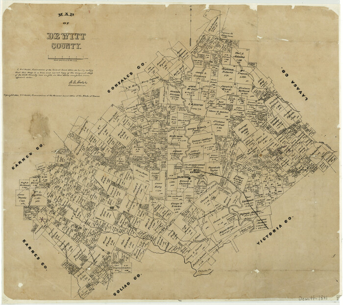

Print $20.00
- Digital $50.00
Map of DeWitt County
1881
Size 21.7 x 24.3 inches
Map/Doc 3478
You may also like
Erath County Working Sketch 26
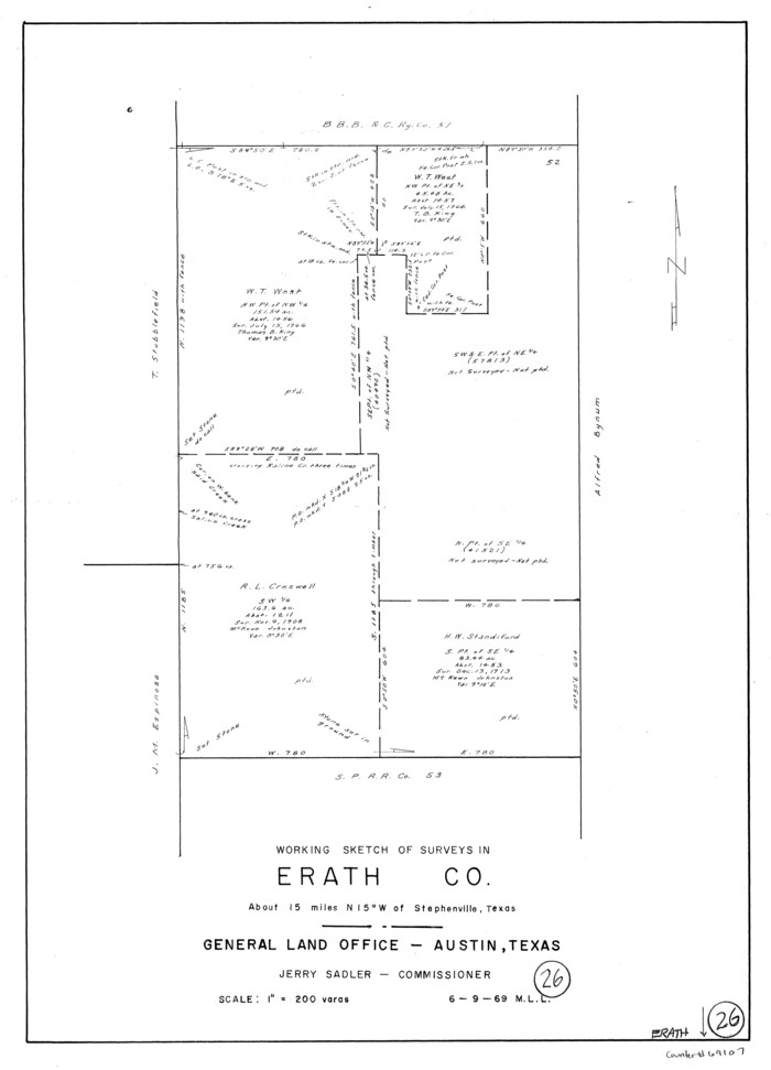

Print $20.00
- Digital $50.00
Erath County Working Sketch 26
1969
Size 20.8 x 15.0 inches
Map/Doc 69107
Marion County Working Sketch 32
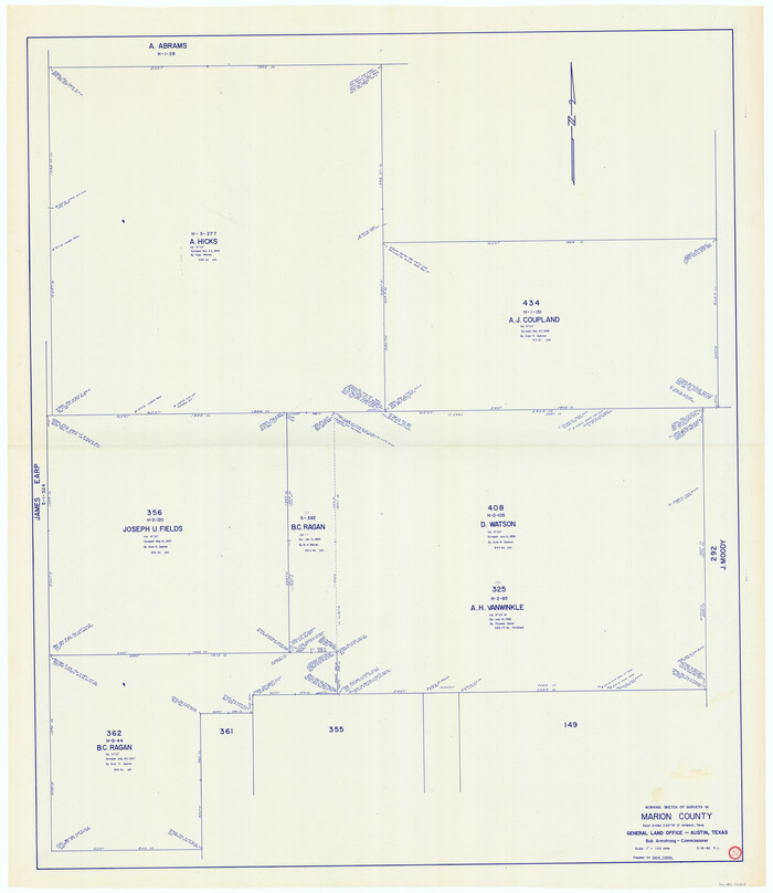

Print $40.00
- Digital $50.00
Marion County Working Sketch 32
1982
Size 50.0 x 43.3 inches
Map/Doc 70808
City of Austin, Texas and Suburban Areas


Print $40.00
- Digital $50.00
City of Austin, Texas and Suburban Areas
1964
Size 48.3 x 34.4 inches
Map/Doc 73563
Hemphill County Working Sketch 22
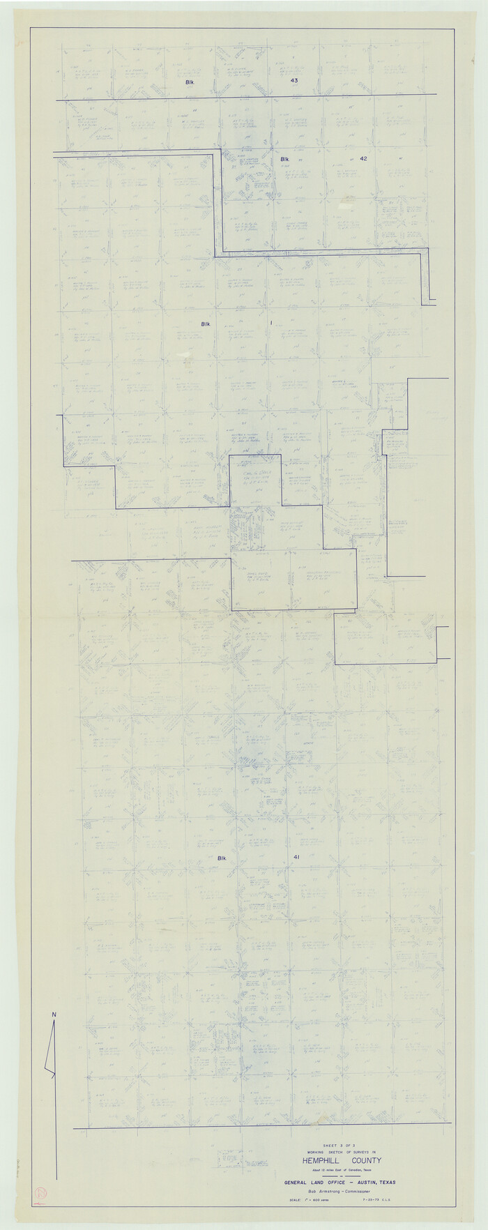

Print $40.00
- Digital $50.00
Hemphill County Working Sketch 22
1973
Size 76.0 x 30.2 inches
Map/Doc 66117
Milam County Sketch File 7


Print $6.00
- Digital $50.00
Milam County Sketch File 7
1838
Size 13.0 x 8.0 inches
Map/Doc 31636
K&E Leroy Lettering Set - 3240
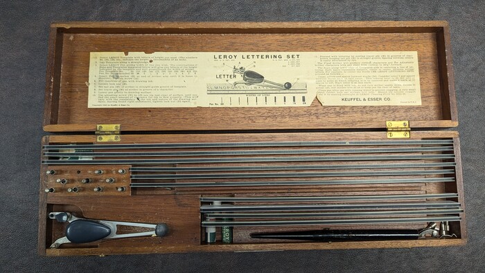

K&E Leroy Lettering Set - 3240
1944
Size 1.8 x 15.5 inches
Map/Doc 97314
Flight Mission No. CRC-3R, Frame 40, Chambers County


Print $20.00
- Digital $50.00
Flight Mission No. CRC-3R, Frame 40, Chambers County
1956
Size 18.6 x 22.3 inches
Map/Doc 84813
A true copy of Peck's field book pages 56 to 63 except classification of lands


Print $40.00
- Digital $50.00
A true copy of Peck's field book pages 56 to 63 except classification of lands
Size 6.3 x 69.2 inches
Map/Doc 89716
Aransas County Sketch File 22


Print $34.00
- Digital $50.00
Aransas County Sketch File 22
1910
Size 14.8 x 9.1 inches
Map/Doc 13166
Freestone County Working Sketch 14


Print $20.00
- Digital $50.00
Freestone County Working Sketch 14
1980
Size 37.4 x 38.9 inches
Map/Doc 69256

