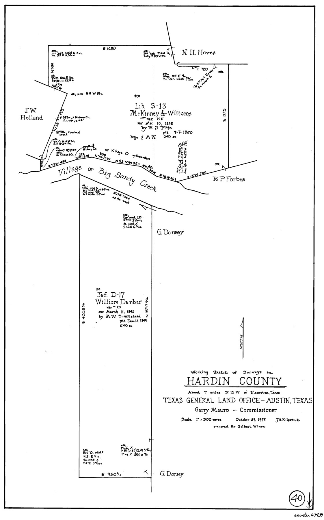
Hardin County Working Sketch 40
-
Map/Doc
63439
-
Collection
General Map Collection
-
Object Dates
10/27/1988 (Creation Date)
-
People and Organizations
Joan Kilpatrick (Draftsman)
-
Counties
Hardin
-
Subjects
Surveying Working Sketch
-
Height x Width
23.0 x 14.4 inches
58.4 x 36.6 cm
-
Scale
1" = 300 varas
Part of: General Map Collection
Gaines County Rolled Sketch 34

Print $20.00
- Digital $50.00
Gaines County Rolled Sketch 34
2002
Size 20.1 x 22.3 inches
Map/Doc 77533
Flight Mission No. DAG-24K, Frame 53, Matagorda County

Print $20.00
- Digital $50.00
Flight Mission No. DAG-24K, Frame 53, Matagorda County
1953
Size 18.5 x 22.3 inches
Map/Doc 86540
Irion County Sketch File 17

Print $20.00
- Digital $50.00
Irion County Sketch File 17
Size 26.7 x 40.5 inches
Map/Doc 10617
Hardin County Sketch File X

Print $9.00
- Digital $50.00
Hardin County Sketch File X
Size 8.2 x 8.3 inches
Map/Doc 25075
Map of Newton County

Print $40.00
- Digital $50.00
Map of Newton County
1894
Size 69.8 x 28.4 inches
Map/Doc 82078
West Part of Jeff Davis Co.

Print $20.00
- Digital $50.00
West Part of Jeff Davis Co.
1977
Size 31.0 x 41.1 inches
Map/Doc 77328
Matagorda County NRC Article 33.136 Location Key Sheet

Print $20.00
- Digital $50.00
Matagorda County NRC Article 33.136 Location Key Sheet
1995
Size 27.0 x 23.0 inches
Map/Doc 87910
Presidio County Rolled Sketch 68

Print $20.00
- Digital $50.00
Presidio County Rolled Sketch 68
1927
Size 11.8 x 24.4 inches
Map/Doc 7358
Irion County Sketch File 18

Print $10.00
- Digital $50.00
Irion County Sketch File 18
Size 11.2 x 8.7 inches
Map/Doc 27494
Terrell County Working Sketch 18a

Print $40.00
- Digital $50.00
Terrell County Working Sketch 18a
1931
Size 48.9 x 34.6 inches
Map/Doc 62168
Map of Burnet County

Print $20.00
- Digital $50.00
Map of Burnet County
1876
Size 24.5 x 21.3 inches
Map/Doc 3352
Dimmit County Boundary File 4

Print $14.00
- Digital $50.00
Dimmit County Boundary File 4
Size 14.1 x 8.8 inches
Map/Doc 52570
You may also like
Terrell County Working Sketch 8b

Print $20.00
- Digital $50.00
Terrell County Working Sketch 8b
1916
Size 15.1 x 18.6 inches
Map/Doc 69695
Map of Texas with Parts of the Adjoining States

Print $20.00
- Digital $50.00
Map of Texas with Parts of the Adjoining States
1837
Size 31.5 x 24.9 inches
Map/Doc 2114
Parker County Sketch File 1

Print $4.00
- Digital $50.00
Parker County Sketch File 1
Size 8.5 x 10.4 inches
Map/Doc 33516
Real County Sketch File 1

Print $6.00
- Digital $50.00
Real County Sketch File 1
1857
Size 8.2 x 9.6 inches
Map/Doc 35035
Cienega Ranch

Print $20.00
- Digital $50.00
Cienega Ranch
1947
Size 17.5 x 17.1 inches
Map/Doc 92287
de Leon Empresario Colony. April 30, 1829

Print $20.00
de Leon Empresario Colony. April 30, 1829
2020
Size 18.5 x 21.7 inches
Map/Doc 95990
Cherokee County Sketch File 19

Print $4.00
- Digital $50.00
Cherokee County Sketch File 19
1876
Size 8.2 x 8.4 inches
Map/Doc 18161
McMullen County Sketch File 11

Print $4.00
- Digital $50.00
McMullen County Sketch File 11
1876
Size 7.3 x 8.4 inches
Map/Doc 31355
Goliad County Sketch File 39

Print $14.00
- Digital $50.00
Goliad County Sketch File 39
1941
Size 14.3 x 8.8 inches
Map/Doc 24340
Haskell County Boundary File 1a

Print $40.00
- Digital $50.00
Haskell County Boundary File 1a
Size 34.9 x 38.3 inches
Map/Doc 54536
Live Oak County Working Sketch 16

Print $20.00
- Digital $50.00
Live Oak County Working Sketch 16
1954
Size 22.2 x 21.8 inches
Map/Doc 70601
No. 2 Chart of Corpus Christi Pass, Texas

Print $20.00
- Digital $50.00
No. 2 Chart of Corpus Christi Pass, Texas
1878
Size 18.3 x 27.3 inches
Map/Doc 73014