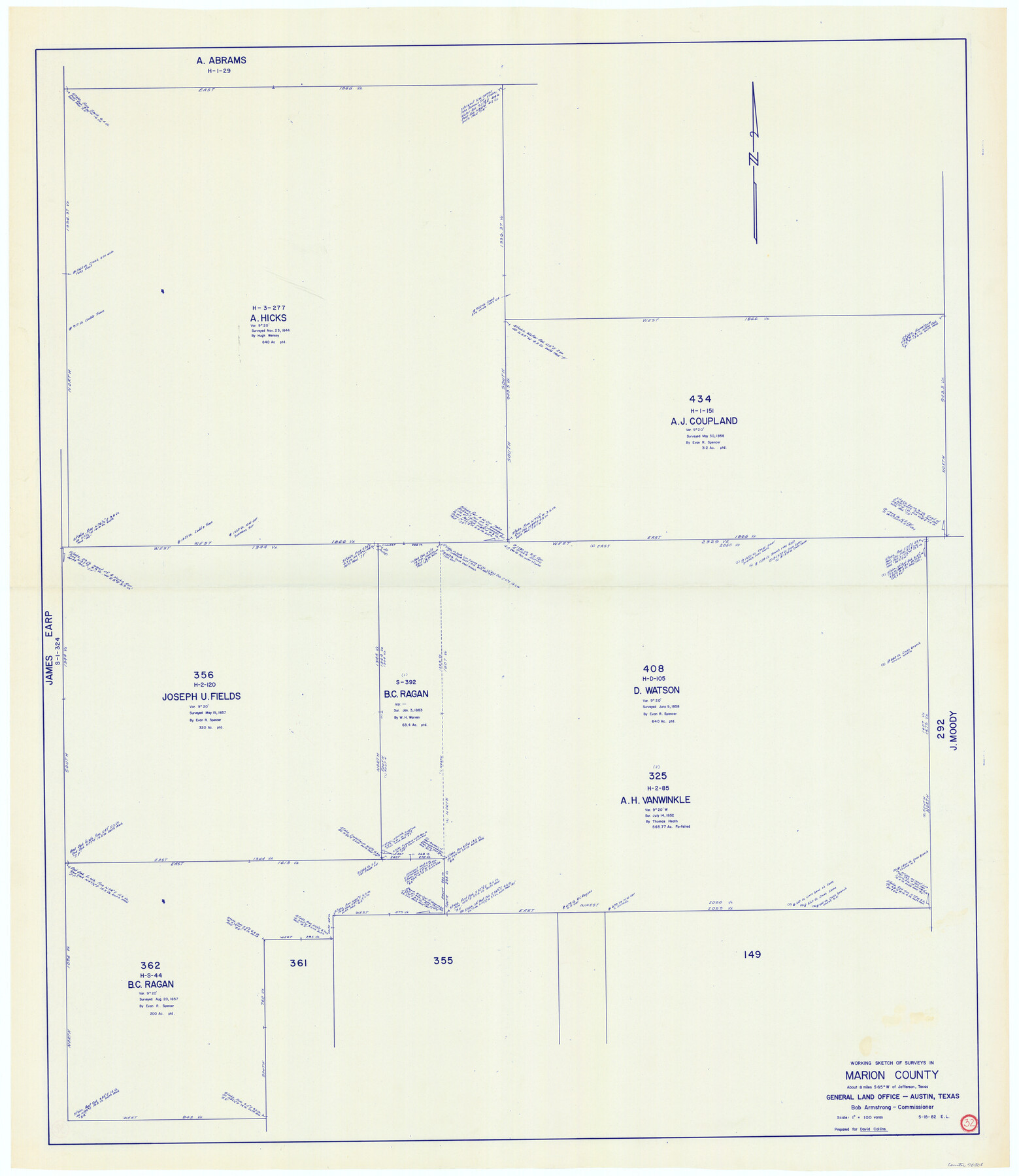
Marion County Working Sketch 32
-
Map/Doc
70808
-
Collection
General Map Collection
-
Object Dates
5/18/1982 (Creation Date)
-
People and Organizations
Elisandro Leos (Draftsman)
-
Counties
Marion
-
Subjects
Surveying Working Sketch
-
Height x Width
50.0 x 43.3 inches
127.0 x 110.0 cm
-
Scale
1" = 100 varas
Part of: General Map Collection
Brewster County Working Sketch 35

Print $20.00
- Digital $50.00
Brewster County Working Sketch 35
1943
Size 21.0 x 19.4 inches
Map/Doc 67569
Flight Mission No. CUG-1P, Frame 78, Kleberg County

Print $20.00
- Digital $50.00
Flight Mission No. CUG-1P, Frame 78, Kleberg County
1956
Size 18.9 x 22.5 inches
Map/Doc 86143
Haskell County Boundary File 1a

Print $40.00
- Digital $50.00
Haskell County Boundary File 1a
Size 34.9 x 38.3 inches
Map/Doc 54536
A Map of that part of Young District south of old Fannin District line

Print $20.00
- Digital $50.00
A Map of that part of Young District south of old Fannin District line
1861
Size 24.9 x 38.0 inches
Map/Doc 1979
Jeff Davis County Working Sketch 42

Print $20.00
- Digital $50.00
Jeff Davis County Working Sketch 42
1983
Size 42.7 x 46.7 inches
Map/Doc 66537
Hudspeth County Working Sketch 20

Print $40.00
- Digital $50.00
Hudspeth County Working Sketch 20
1966
Size 43.8 x 63.6 inches
Map/Doc 66302
Loving County Sketch File 1

Print $4.00
- Digital $50.00
Loving County Sketch File 1
1931
Size 11.2 x 8.6 inches
Map/Doc 30407
Current Miscellaneous File 51

Print $6.00
- Digital $50.00
Current Miscellaneous File 51
Size 11.6 x 9.2 inches
Map/Doc 74029
Texas Official Travel Map

Digital $50.00
Texas Official Travel Map
Size 33.4 x 36.1 inches
Map/Doc 94304
Flight Mission No. BRE-1P, Frame 98, Nueces County

Print $20.00
- Digital $50.00
Flight Mission No. BRE-1P, Frame 98, Nueces County
1956
Size 18.4 x 22.1 inches
Map/Doc 86669
Panola County Sketch File 30

Print $4.00
- Digital $50.00
Panola County Sketch File 30
1944
Size 2.8 x 8.9 inches
Map/Doc 33505
Blanco County Working Sketch 44

Print $20.00
- Digital $50.00
Blanco County Working Sketch 44
2000
Size 19.5 x 35.6 inches
Map/Doc 67404
You may also like
Map of Texas Compiled from surveys on record in the General Land Office of the Republic to the year 1839

Print $20.00
- Digital $50.00
Map of Texas Compiled from surveys on record in the General Land Office of the Republic to the year 1839
1891
Size 36.6 x 25.7 inches
Map/Doc 1891
[West line of H. & T. C. RR. Block 97 and Blocks 29 and 30]
![90212, [West line of H. & T. C. RR. Block 97 and Blocks 29 and 30], Twichell Survey Records](https://historictexasmaps.com/wmedia_w700/maps/90212-1.tif.jpg)
Print $20.00
- Digital $50.00
[West line of H. & T. C. RR. Block 97 and Blocks 29 and 30]
Size 17.2 x 25.3 inches
Map/Doc 90212
Nueces County Rolled Sketch 7

Print $20.00
- Digital $50.00
Nueces County Rolled Sketch 7
Size 37.5 x 34.6 inches
Map/Doc 9585
Galveston County Rolled Sketch 9

Print $20.00
- Digital $50.00
Galveston County Rolled Sketch 9
1905
Size 45.2 x 37.2 inches
Map/Doc 9090
Colorado County Sketch File 30

Print $14.00
- Digital $50.00
Colorado County Sketch File 30
1943
Size 14.1 x 8.6 inches
Map/Doc 18977
Floyd County Boundary File 1a

Print $40.00
- Digital $50.00
Floyd County Boundary File 1a
Size 9.2 x 37.4 inches
Map/Doc 53460


Chambers County NRC Article 33.136 Sketch 9

Print $24.00
- Digital $50.00
Chambers County NRC Article 33.136 Sketch 9
2014
Size 17.7 x 24.0 inches
Map/Doc 94747
Pecos County Working Sketch 11

Print $40.00
- Digital $50.00
Pecos County Working Sketch 11
1907
Size 48.6 x 38.2 inches
Map/Doc 71481
General Highway Map, Cameron County, Texas

Print $20.00
General Highway Map, Cameron County, Texas
1940
Size 18.5 x 25.3 inches
Map/Doc 79039
[North line of County]
![93142, [North line of County], Twichell Survey Records](https://historictexasmaps.com/wmedia_w700/maps/93142-1.tif.jpg)
Print $40.00
- Digital $50.00
[North line of County]
Size 120.1 x 7.0 inches
Map/Doc 93142