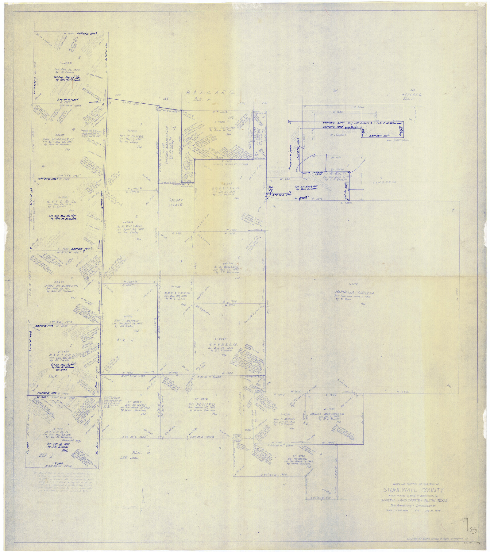
Stonewall County Working Sketch 29
-
Map/Doc
62336
-
Collection
General Map Collection
-
Object Dates
7/31/1979 (Creation Date)
-
People and Organizations
Beverly Robison (Draftsman)
-
Counties
Stonewall
-
Subjects
Surveying Working Sketch
-
Height x Width
48.5 x 43.0 inches
123.2 x 109.2 cm
-
Scale
1" = 300 varas
Part of: General Map Collection
[Surveys in the Bexar and San Patricio Districts along the Nueces and Frio Rivers]
![36, [Surveys in the Bexar and San Patricio Districts along the Nueces and Frio Rivers], General Map Collection](https://historictexasmaps.com/wmedia_w700/maps/36.tif.jpg)
Print $20.00
- Digital $50.00
[Surveys in the Bexar and San Patricio Districts along the Nueces and Frio Rivers]
1830
Size 21.5 x 27.3 inches
Map/Doc 36
Fort Bend County State Real Property Sketch 14

Print $40.00
- Digital $50.00
Fort Bend County State Real Property Sketch 14
1985
Size 36.7 x 35.6 inches
Map/Doc 61688
Flight Mission No. CGI-4N, Frame 164, Cameron County

Print $20.00
- Digital $50.00
Flight Mission No. CGI-4N, Frame 164, Cameron County
1955
Size 18.6 x 22.3 inches
Map/Doc 84672
Houston County Working Sketch 36

Print $40.00
- Digital $50.00
Houston County Working Sketch 36
1987
Size 61.2 x 43.6 inches
Map/Doc 78231
Jefferson County Sketch File 15a

Print $8.00
- Digital $50.00
Jefferson County Sketch File 15a
1872
Size 15.6 x 6.7 inches
Map/Doc 28156
Presidio County Rolled Sketch 83A

Print $20.00
- Digital $50.00
Presidio County Rolled Sketch 83A
1930
Size 28.2 x 27.6 inches
Map/Doc 7370
Polk County Sketch File 28

Print $4.00
- Digital $50.00
Polk County Sketch File 28
Size 8.6 x 9.9 inches
Map/Doc 34198
Rio Grande, Hargill Sheet

Print $20.00
- Digital $50.00
Rio Grande, Hargill Sheet
1935
Size 37.1 x 38.1 inches
Map/Doc 65121
[Surveys near the Medina River, Bexar District]
![230, [Surveys near the Medina River, Bexar District], General Map Collection](https://historictexasmaps.com/wmedia_w700/maps/230.tif.jpg)
Print $2.00
- Digital $50.00
[Surveys near the Medina River, Bexar District]
1847
Size 13.1 x 8.0 inches
Map/Doc 230
[Sketch for Mineral Application 26501 - Sabine River, T. A. Oldhausen]
![2842, [Sketch for Mineral Application 26501 - Sabine River, T. A. Oldhausen], General Map Collection](https://historictexasmaps.com/wmedia_w700/maps/2842.tif.jpg)
Print $20.00
- Digital $50.00
[Sketch for Mineral Application 26501 - Sabine River, T. A. Oldhausen]
1931
Size 24.0 x 36.9 inches
Map/Doc 2842
Palo Pinto County Rolled Sketch 11

Print $20.00
- Digital $50.00
Palo Pinto County Rolled Sketch 11
1976
Size 20.5 x 19.9 inches
Map/Doc 7191
Sketch showing progress of topographical work Laguna Madre and vicinity from Rainey Is. to Baffins Bay, Coast of Texas Sect. IX [and accompanying letter]
![72958, Sketch showing progress of topographical work Laguna Madre and vicinity from Rainey Is. to Baffins Bay, Coast of Texas Sect. IX [and accompanying letter], General Map Collection](https://historictexasmaps.com/wmedia_w700/maps/72958.tif.jpg)
Print $2.00
- Digital $50.00
Sketch showing progress of topographical work Laguna Madre and vicinity from Rainey Is. to Baffins Bay, Coast of Texas Sect. IX [and accompanying letter]
1881
Size 11.2 x 8.8 inches
Map/Doc 72958
You may also like
Bosque County Sketch File 2

Print $4.00
- Digital $50.00
Bosque County Sketch File 2
1847
Size 7.8 x 12.4 inches
Map/Doc 14740
Briscoe County Sketch File J

Print $40.00
- Digital $50.00
Briscoe County Sketch File J
1919
Size 19.3 x 32.0 inches
Map/Doc 11007
Victoria, Texas: The City of Roses

Victoria, Texas: The City of Roses
1910
Size 3.6 x 4.8 inches
Map/Doc 97056
Bowie County Sketch File 1

Print $8.00
- Digital $50.00
Bowie County Sketch File 1
Size 8.6 x 10.0 inches
Map/Doc 14833
San Jacinto County Boundary File 1

Print $6.00
- Digital $50.00
San Jacinto County Boundary File 1
Size 9.6 x 8.4 inches
Map/Doc 58548

Flight Mission No. CLL-1N, Frame 106, Willacy County

Print $20.00
- Digital $50.00
Flight Mission No. CLL-1N, Frame 106, Willacy County
1954
Size 18.4 x 22.0 inches
Map/Doc 87040
Crane County Working Sketch 12

Print $20.00
- Digital $50.00
Crane County Working Sketch 12
1941
Size 18.6 x 18.1 inches
Map/Doc 68289
San Patricio County Rolled Sketch BB

Print $40.00
- Digital $50.00
San Patricio County Rolled Sketch BB
1936
Size 25.0 x 49.0 inches
Map/Doc 9889
[Block C-35 Public School Land]
![93227, [Block C-35 Public School Land], Twichell Survey Records](https://historictexasmaps.com/wmedia_w700/maps/93227-1.tif.jpg)
Print $20.00
- Digital $50.00
[Block C-35 Public School Land]
1943
Size 14.9 x 17.0 inches
Map/Doc 93227
General Highway Map Llano County Texas

Print $20.00
- Digital $50.00
General Highway Map Llano County Texas
1953
Size 17.1 x 12.5 inches
Map/Doc 92883
Hunt County Boundary File 2a

Print $30.00
- Digital $50.00
Hunt County Boundary File 2a
Size 14.2 x 8.7 inches
Map/Doc 55192