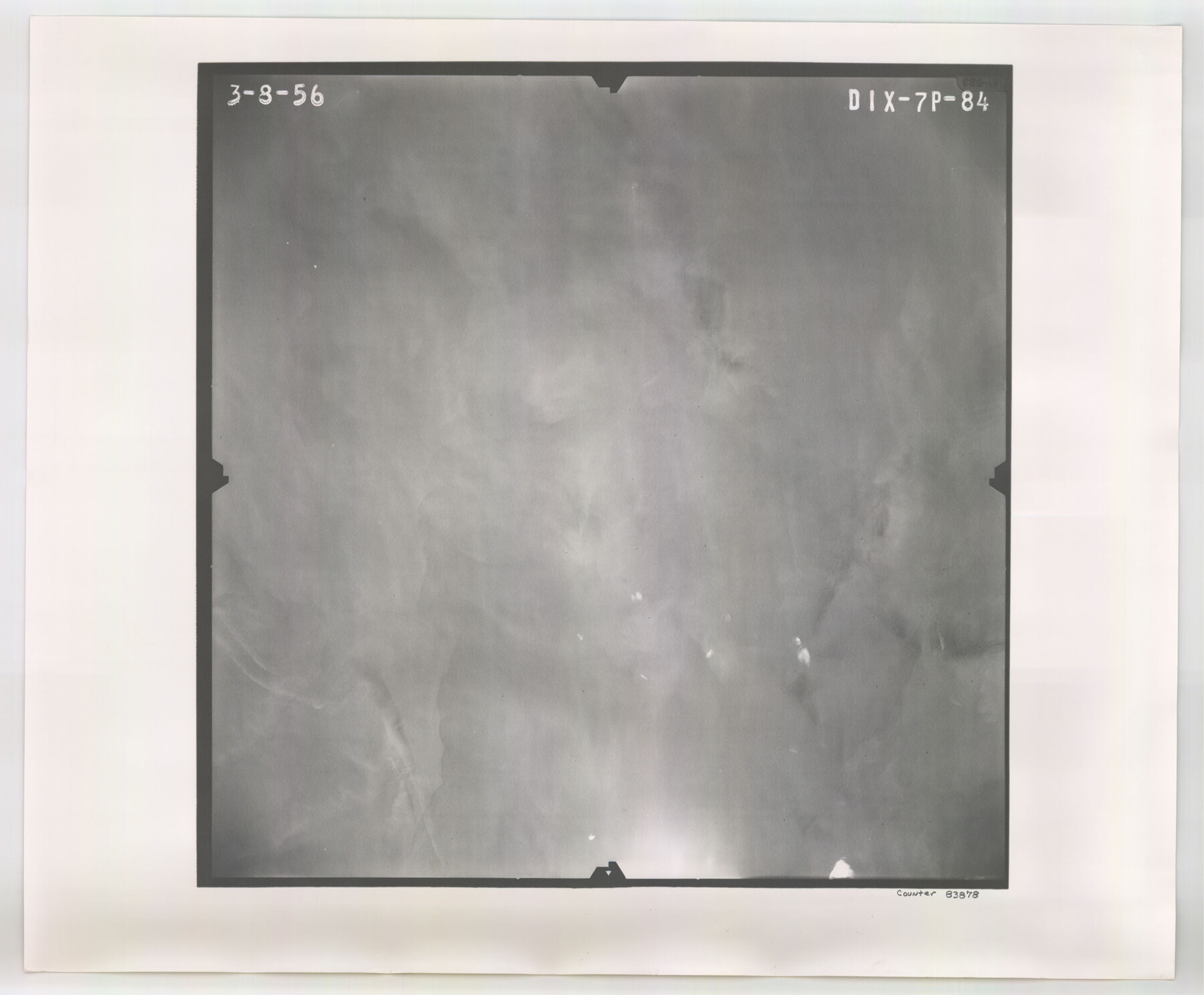
Flight Mission No. DIX-7P, Frame 84, Aransas County
DIX-7P-84
-
Map/Doc
83878
-
Collection
General Map Collection
-
Object Dates
1956/3/8 (Creation Date)
-
People and Organizations
U. S. Department of Agriculture (Publisher)
-
Counties
Aransas
-
Subjects
Aerial Photograph
-
Height x Width
18.8 x 22.8 inches
47.8 x 57.9 cm
-
Comments
Flown by V. L. Beavers and Associates of San Antonio, Texas.
Part of: General Map Collection
Polk County Working Sketch 25

Print $20.00
- Digital $50.00
Polk County Working Sketch 25
1958
Size 34.6 x 29.0 inches
Map/Doc 71641
Crockett County Rolled Sketch 88L

Print $20.00
- Digital $50.00
Crockett County Rolled Sketch 88L
1963
Size 19.0 x 24.6 inches
Map/Doc 5628
Dimmit County Sketch File 30

Print $4.00
- Digital $50.00
Dimmit County Sketch File 30
Size 10.6 x 8.5 inches
Map/Doc 21146
Flight Mission No. DQN-1K, Frame 135, Calhoun County

Print $20.00
- Digital $50.00
Flight Mission No. DQN-1K, Frame 135, Calhoun County
1953
Size 18.3 x 22.4 inches
Map/Doc 84198
Galveston County Working Sketch 24

Print $20.00
- Digital $50.00
Galveston County Working Sketch 24
1939
Size 16.6 x 19.6 inches
Map/Doc 69361
Sulphur River, Bassett Sheet

Print $20.00
- Digital $50.00
Sulphur River, Bassett Sheet
1939
Size 23.9 x 31.5 inches
Map/Doc 69683
La Salle County Working Sketch 12

Print $20.00
- Digital $50.00
La Salle County Working Sketch 12
1929
Size 25.4 x 15.8 inches
Map/Doc 70313
Throckmorton County Sketch File 14

Print $16.00
- Digital $50.00
Throckmorton County Sketch File 14
2004
Size 11.0 x 8.5 inches
Map/Doc 82481
Map of Llano County

Print $20.00
- Digital $50.00
Map of Llano County
1871
Size 17.0 x 20.5 inches
Map/Doc 3825
Nueces County Sketch File 25B

Print $20.00
- Digital $50.00
Nueces County Sketch File 25B
1894
Size 17.6 x 24.6 inches
Map/Doc 42183
Texas Intracoastal Waterway - Port O'Connor to San Antonio Bay, Including Pass Cavallo

Print $20.00
- Digital $50.00
Texas Intracoastal Waterway - Port O'Connor to San Antonio Bay, Including Pass Cavallo
1961
Size 26.5 x 38.7 inches
Map/Doc 73373
Scurry County

Print $20.00
- Digital $50.00
Scurry County
1921
Size 42.4 x 39.1 inches
Map/Doc 95637
You may also like
Rusk County Working Sketch 37c

Print $20.00
- Digital $50.00
Rusk County Working Sketch 37c
2007
Size 21.2 x 36.0 inches
Map/Doc 87498
Orange County Working Sketch 7

Print $20.00
- Digital $50.00
Orange County Working Sketch 7
1922
Size 21.9 x 31.9 inches
Map/Doc 71339
Irion County Rolled Sketch 19

Print $20.00
- Digital $50.00
Irion County Rolled Sketch 19
Size 19.3 x 27.5 inches
Map/Doc 6328
Kerr County Sketch File 5

Print $4.00
- Digital $50.00
Kerr County Sketch File 5
1878
Size 14.2 x 8.4 inches
Map/Doc 28865
[Block C39, Sections 22, 23 Millican Estate, 24]
![92345, [Block C39, Sections 22, 23 Millican Estate, 24], Twichell Survey Records](https://historictexasmaps.com/wmedia_w700/maps/92345-1.tif.jpg)
Print $20.00
- Digital $50.00
[Block C39, Sections 22, 23 Millican Estate, 24]
1956
Size 11.4 x 31.2 inches
Map/Doc 92345
Angelina County Sketch File 13

Print $4.00
- Digital $50.00
Angelina County Sketch File 13
1860
Size 13.0 x 8.2 inches
Map/Doc 12957
Supreme Court of the United States, October Term, 1923, No. 15, Original - The State of Oklahoma, Complainant vs. The State of Texas, Defendant, The United States, Intervener; Report of the Boundary Commissioners

Print $20.00
- Digital $50.00
Supreme Court of the United States, October Term, 1923, No. 15, Original - The State of Oklahoma, Complainant vs. The State of Texas, Defendant, The United States, Intervener; Report of the Boundary Commissioners
1923
Size 33.9 x 36.8 inches
Map/Doc 75134
Bastrop County Rolled Sketch 2

Print $20.00
- Digital $50.00
Bastrop County Rolled Sketch 2
1979
Size 26.3 x 18.4 inches
Map/Doc 5123
Llano County Sketch File 1

Print $24.00
- Digital $50.00
Llano County Sketch File 1
Size 8.9 x 7.7 inches
Map/Doc 30345
Navigation Maps of Gulf Intracoastal Waterway, Port Arthur to Brownsville, Texas

Print $4.00
- Digital $50.00
Navigation Maps of Gulf Intracoastal Waterway, Port Arthur to Brownsville, Texas
1951
Size 16.7 x 21.6 inches
Map/Doc 65426
Maps of Gulf Intracoastal Waterway, Texas - Sabine River to the Rio Grande and connecting waterways including ship channels

Print $20.00
- Digital $50.00
Maps of Gulf Intracoastal Waterway, Texas - Sabine River to the Rio Grande and connecting waterways including ship channels
1966
Size 14.6 x 22.2 inches
Map/Doc 61961
Sutton County Sketch File 27B

Print $20.00
- Digital $50.00
Sutton County Sketch File 27B
Size 19.1 x 14.6 inches
Map/Doc 12384