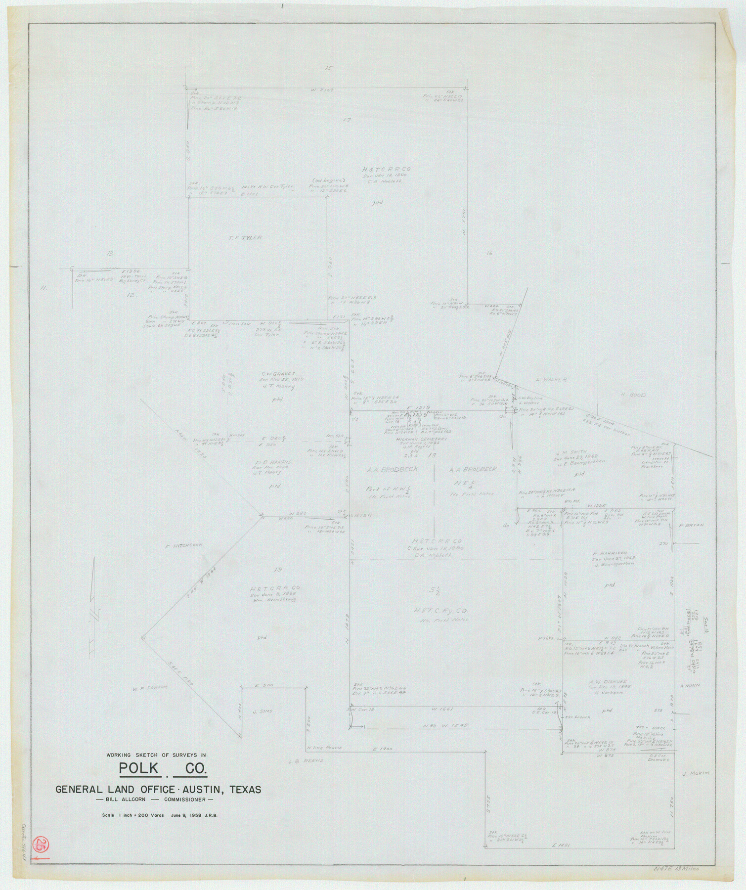
Polk County Working Sketch 25
-
Map/Doc
71641
-
Collection
General Map Collection
-
Object Dates
6/9/1958 (Creation Date)
-
Counties
Polk
-
Subjects
Surveying Working Sketch
-
Height x Width
34.6 x 29.0 inches
87.9 x 73.7 cm
-
Scale
1" = 200 varas
Part of: General Map Collection
Zavala County Working Sketch 11

Print $20.00
- Digital $50.00
Zavala County Working Sketch 11
1955
Size 13.8 x 22.4 inches
Map/Doc 62086
Parker County Sketch File 5

Print $4.00
- Digital $50.00
Parker County Sketch File 5
1858
Size 8.1 x 8.2 inches
Map/Doc 33528
Flight Mission No. BRE-2P, Frame 106, Nueces County

Print $20.00
- Digital $50.00
Flight Mission No. BRE-2P, Frame 106, Nueces County
1956
Size 18.7 x 22.8 inches
Map/Doc 86791
Dallam County Sketch File 5

Print $22.00
- Digital $50.00
Dallam County Sketch File 5
1880
Size 14.2 x 8.8 inches
Map/Doc 20339
Culberson County Sketch File 10a

Print $20.00
- Digital $50.00
Culberson County Sketch File 10a
1926
Size 11.9 x 18.3 inches
Map/Doc 11264
Flight Mission No. BRE-2P, Frame 76, Nueces County

Print $20.00
- Digital $50.00
Flight Mission No. BRE-2P, Frame 76, Nueces County
1956
Size 18.4 x 22.4 inches
Map/Doc 86771
Galveston County NRC Article 33.136 Sketch 92

Print $62.00
Galveston County NRC Article 33.136 Sketch 92
2021
Map/Doc 97179
Austin County Sketch File 16

Print $74.00
- Digital $50.00
Austin County Sketch File 16
Size 14.3 x 8.8 inches
Map/Doc 13888
Aransas County Sketch File 25

Print $20.00
- Digital $50.00
Aransas County Sketch File 25
Size 17.0 x 17.5 inches
Map/Doc 13218
Travis County Sketch File XYZ

Print $4.00
- Digital $50.00
Travis County Sketch File XYZ
Size 10.1 x 8.3 inches
Map/Doc 38352
Denton County Working Sketch 30

Print $20.00
- Digital $50.00
Denton County Working Sketch 30
1999
Size 23.2 x 30.4 inches
Map/Doc 68635
Jones County Boundary File 1a

Print $40.00
- Digital $50.00
Jones County Boundary File 1a
1882
Size 37.9 x 39.2 inches
Map/Doc 44358
You may also like
Mississippi River to Galveston

Print $40.00
- Digital $50.00
Mississippi River to Galveston
1973
Size 37.2 x 51.2 inches
Map/Doc 69946
Travis County Rolled Sketch 8

Print $20.00
- Digital $50.00
Travis County Rolled Sketch 8
1928
Size 30.9 x 24.2 inches
Map/Doc 8013
Eastland County Sketch File 6

Print $4.00
- Digital $50.00
Eastland County Sketch File 6
1871
Size 8.3 x 12.8 inches
Map/Doc 21572
Webb County Working Sketch 86

Print $20.00
- Digital $50.00
Webb County Working Sketch 86
1981
Size 44.3 x 37.0 inches
Map/Doc 72453
Polk County Sketch File 28

Print $4.00
- Digital $50.00
Polk County Sketch File 28
Size 8.6 x 9.9 inches
Map/Doc 34198
General Highway Map, Bexar County, Texas

Print $20.00
General Highway Map, Bexar County, Texas
1940
Size 18.3 x 25.1 inches
Map/Doc 79017
Map of McClennan County

Print $20.00
- Digital $50.00
Map of McClennan County
1868
Size 22.8 x 25.4 inches
Map/Doc 3861
McLennan County Sketch File 44

Print $4.00
- Digital $50.00
McLennan County Sketch File 44
1874
Size 12.7 x 7.9 inches
Map/Doc 31335
Plat of the Resubdivision of the Abandoned Townsite of Eschiti, Oklahoma

Print $4.00
- Digital $50.00
Plat of the Resubdivision of the Abandoned Townsite of Eschiti, Oklahoma
1907
Size 18.1 x 24.3 inches
Map/Doc 75150
[Worksheets related to the Wilson Strickland survey and vicinity]
![91268, [Vicinity and related to the Wilson Strickland Survey], Twichell Survey Records](https://historictexasmaps.com/wmedia_w700/maps/91268-1.tif.jpg)
Print $20.00
- Digital $50.00
[Worksheets related to the Wilson Strickland survey and vicinity]
Size 21.1 x 18.9 inches
Map/Doc 91268
[Blocks CC41 and 8]
![90550, [Blocks CC41 and 8], Twichell Survey Records](https://historictexasmaps.com/wmedia_w700/maps/90550-1.tif.jpg)
Print $2.00
- Digital $50.00
[Blocks CC41 and 8]
Size 15.5 x 8.3 inches
Map/Doc 90550
In the Supreme Court of the United States, The State of Oklahoma, Complainant vs. The State of Texas, Defendant, The United States of America, Intervener, Red River Valley, Texas and Oklahoma Between the 98th and 100th Meridians in Five Sheets, 1921

Print $40.00
- Digital $50.00
In the Supreme Court of the United States, The State of Oklahoma, Complainant vs. The State of Texas, Defendant, The United States of America, Intervener, Red River Valley, Texas and Oklahoma Between the 98th and 100th Meridians in Five Sheets, 1921
1921
Size 38.6 x 60.0 inches
Map/Doc 75276