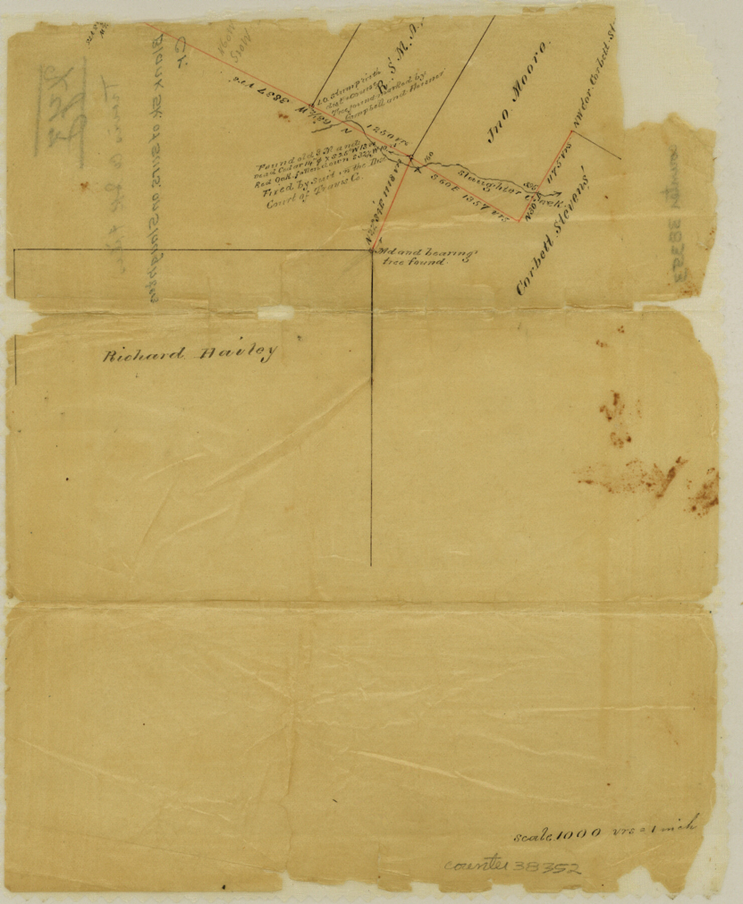
Travis County Sketch File XYZ
[Sketch of surveys on Slaughter Creek southwest from Austin]
-
Map/Doc
38352
-
Collection
General Map Collection
-
Counties
Travis
-
Subjects
Surveying Sketch File
-
Height x Width
10.1 x 8.3 inches
25.7 x 21.1 cm
-
Features
Slaughter Creek
Part of: General Map Collection
Flight Mission No. DCL-7C, Frame 68, Kenedy County

Print $20.00
- Digital $50.00
Flight Mission No. DCL-7C, Frame 68, Kenedy County
1943
Size 15.3 x 15.2 inches
Map/Doc 86054
Outer Continental Shelf Leasing Maps (Louisiana Offshore Operations)

Print $20.00
- Digital $50.00
Outer Continental Shelf Leasing Maps (Louisiana Offshore Operations)
1955
Size 12.4 x 12.7 inches
Map/Doc 76086
Cass County Working Sketch 34

Print $20.00
- Digital $50.00
Cass County Working Sketch 34
1982
Size 21.1 x 24.6 inches
Map/Doc 67937
Upton County Rolled Sketch 33

Print $20.00
- Digital $50.00
Upton County Rolled Sketch 33
1951
Size 39.2 x 33.0 inches
Map/Doc 8076
Goliad County Sketch File 24

Print $16.00
- Digital $50.00
Goliad County Sketch File 24
1856
Size 12.9 x 8.2 inches
Map/Doc 24297
Plan of the City of Calhoun

Print $40.00
- Digital $50.00
Plan of the City of Calhoun
1839
Size 49.7 x 58.9 inches
Map/Doc 2175
Map of Surveys made in Fisher and Miller's Colony

Print $40.00
- Digital $50.00
Map of Surveys made in Fisher and Miller's Colony
1848
Size 48.4 x 57.7 inches
Map/Doc 16830
Reagan County Working Sketch 19

Print $20.00
- Digital $50.00
Reagan County Working Sketch 19
1954
Size 24.3 x 42.9 inches
Map/Doc 71861
Flight Mission No. BRA-7M, Frame 205, Jefferson County

Print $20.00
- Digital $50.00
Flight Mission No. BRA-7M, Frame 205, Jefferson County
1953
Size 18.5 x 22.4 inches
Map/Doc 85573
Travis County Sketch File 15

Print $4.00
- Digital $50.00
Travis County Sketch File 15
Size 12.8 x 8.1 inches
Map/Doc 38310
Red River County Working Sketch 81-2

Print $20.00
- Digital $50.00
Red River County Working Sketch 81-2
1987
Size 14.6 x 18.6 inches
Map/Doc 72065
Photostat of section of hydrographic surveys H-5399, H-4822, H-470

Print $20.00
- Digital $50.00
Photostat of section of hydrographic surveys H-5399, H-4822, H-470
1933
Size 25.9 x 18.3 inches
Map/Doc 61158
You may also like
Sketch of Texas with the boundaries of Mexican States as shown on General Austin's map of Texas

Print $20.00
Sketch of Texas with the boundaries of Mexican States as shown on General Austin's map of Texas
1839
Size 20.9 x 16.1 inches
Map/Doc 93574
Wichita County

Print $20.00
- Digital $50.00
Wichita County
1971
Size 39.1 x 40.8 inches
Map/Doc 95673
Pecos County Rolled Sketch 36

Print $20.00
- Digital $50.00
Pecos County Rolled Sketch 36
1906
Size 32.0 x 23.4 inches
Map/Doc 7216
Flight Mission No. DQN-5K, Frame 55, Calhoun County

Print $20.00
- Digital $50.00
Flight Mission No. DQN-5K, Frame 55, Calhoun County
1953
Size 18.7 x 22.3 inches
Map/Doc 84398
Jefferson County Working Sketch 13

Print $20.00
- Digital $50.00
Jefferson County Working Sketch 13
1948
Size 13.5 x 20.1 inches
Map/Doc 66556
Edwards County Sketch File 51

Print $32.00
- Digital $50.00
Edwards County Sketch File 51
1965
Size 11.6 x 9.0 inches
Map/Doc 21800
Hays County Rolled Sketch 19

Print $20.00
- Digital $50.00
Hays County Rolled Sketch 19
1887
Size 26.7 x 22.3 inches
Map/Doc 6175
South Part of Webb County

Print $40.00
- Digital $50.00
South Part of Webb County
1984
Size 44.1 x 64.9 inches
Map/Doc 95670
Jasper County Sketch File 13

Print $4.00
- Digital $50.00
Jasper County Sketch File 13
1880
Size 12.1 x 8.7 inches
Map/Doc 27804
Flight Mission No. CUG-1P, Frame 169, Kleberg County

Print $20.00
- Digital $50.00
Flight Mission No. CUG-1P, Frame 169, Kleberg County
1956
Size 18.6 x 22.4 inches
Map/Doc 86176
Stephens County Working Sketch 41

Print $40.00
- Digital $50.00
Stephens County Working Sketch 41
2008
Size 34.1 x 48.0 inches
Map/Doc 88737
Capitol Lands survey by J. T. Munson

Print $20.00
- Digital $50.00
Capitol Lands survey by J. T. Munson
Size 24.8 x 20.4 inches
Map/Doc 90585