Culberson County Sketch File 10a
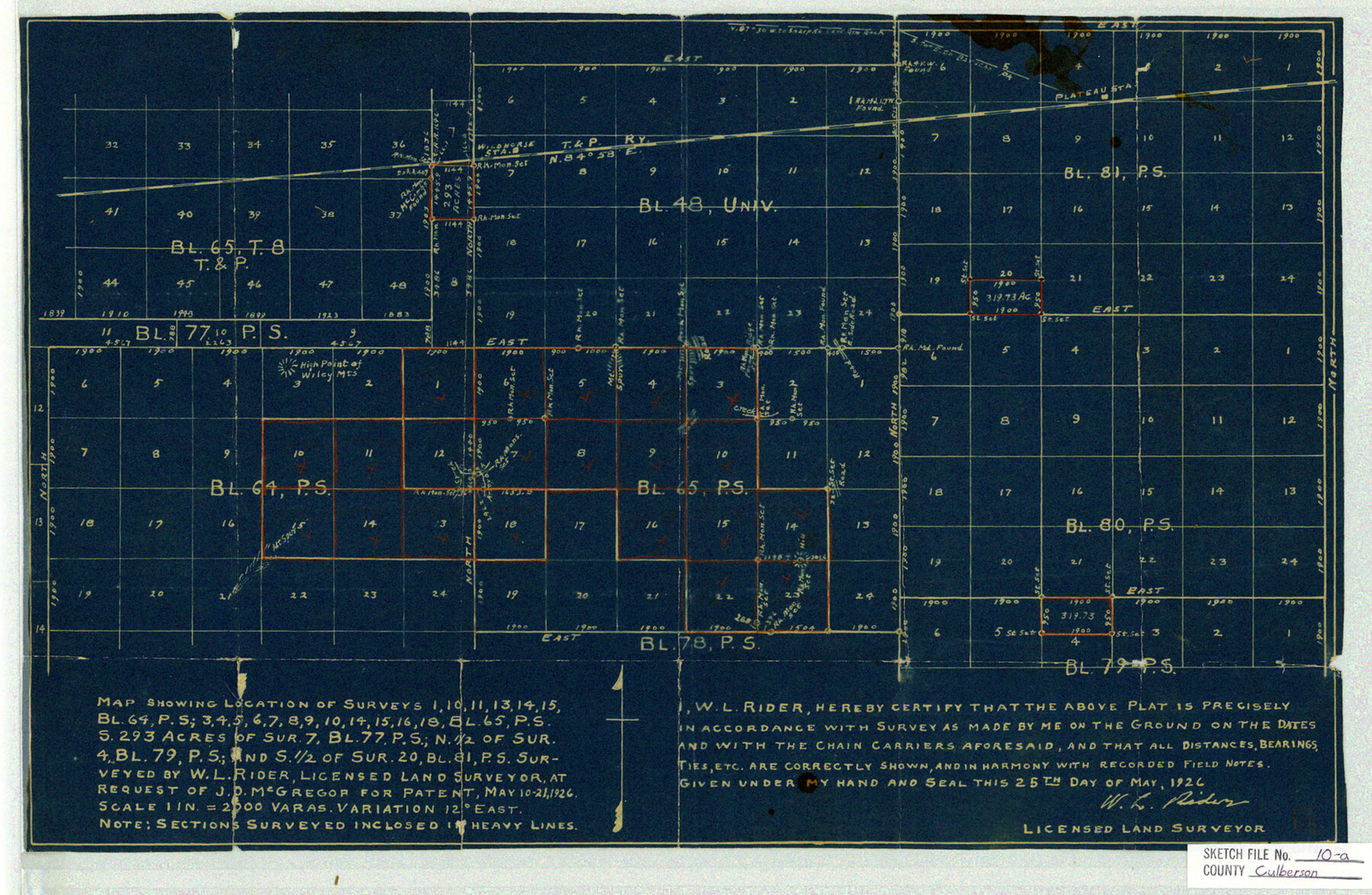
Sketch of surveys in Blk. 64, 65, 77, 79 & 81 Public School Lands Culberson County
-
Map/Doc
11264
-
Collection
General Map Collection
-
Object Dates
1926/5/25 (Creation Date)
1926/6/24 (File Date)
-
People and Organizations
W.L. Rider (Surveyor/Engineer)
-
Counties
Culberson
-
Subjects
Surveying Sketch File
-
Height x Width
11.9 x 18.3 inches
30.2 x 46.5 cm
-
Medium
blueprint/diazo
-
Scale
1" = 2000 varas
-
Features
T&P
Wildhorse Station
Plateau Station
High Point of Wiley Mountains
Mountain Spur
Part of: General Map Collection
Runnels County Rolled Sketch 43

Print $20.00
- Digital $50.00
Runnels County Rolled Sketch 43
Size 28.3 x 45.8 inches
Map/Doc 7531
Kimble County Boundary File 2

Print $26.00
- Digital $50.00
Kimble County Boundary File 2
Size 9.6 x 6.2 inches
Map/Doc 64833
Orange County Sketch File 10

Print $4.00
- Digital $50.00
Orange County Sketch File 10
1876
Size 8.4 x 12.8 inches
Map/Doc 33317
Reagan County Working Sketch 47

Print $20.00
- Digital $50.00
Reagan County Working Sketch 47
1987
Size 23.9 x 43.8 inches
Map/Doc 71890
International Railroad Map & Profile of the Second Fifty Miles East of Brazos River

Print $40.00
- Digital $50.00
International Railroad Map & Profile of the Second Fifty Miles East of Brazos River
1877
Size 19.8 x 76.6 inches
Map/Doc 64465
Presidio County Rolled Sketch 63

Print $20.00
- Digital $50.00
Presidio County Rolled Sketch 63
Size 21.6 x 21.3 inches
Map/Doc 7355
Jefferson County NRC Article 33.136 Sketch 6

Print $4.00
- Digital $50.00
Jefferson County NRC Article 33.136 Sketch 6
2005
Size 14.1 x 8.6 inches
Map/Doc 83171
Matagorda Light to Aransas Pass

Print $20.00
- Digital $50.00
Matagorda Light to Aransas Pass
1934
Size 35.3 x 44.3 inches
Map/Doc 73392
Jefferson County Rolled Sketch 67

Print $20.00
- Digital $50.00
Jefferson County Rolled Sketch 67
2007
Size 21.1 x 23.6 inches
Map/Doc 93426
Cherokee County Sketch File 5

Print $12.00
- Digital $50.00
Cherokee County Sketch File 5
1852
Size 12.4 x 8.6 inches
Map/Doc 18120
Cooke County Rolled Sketch 6

Print $20.00
- Digital $50.00
Cooke County Rolled Sketch 6
1981
Size 19.7 x 25.1 inches
Map/Doc 5564
Ownership Map of McCulloch County, Texas

Print $20.00
- Digital $50.00
Ownership Map of McCulloch County, Texas
1951
Size 40.5 x 32.5 inches
Map/Doc 3138
You may also like
Terrell County Working Sketch 33

Print $20.00
- Digital $50.00
Terrell County Working Sketch 33
1945
Size 16.1 x 31.6 inches
Map/Doc 62125
Palo Pinto County Boundary File 4

Print $17.00
- Digital $50.00
Palo Pinto County Boundary File 4
Size 9.0 x 8.4 inches
Map/Doc 57811

Pecos County Working Sketch 112

Print $40.00
- Digital $50.00
Pecos County Working Sketch 112
Size 48.1 x 37.0 inches
Map/Doc 71585
Brewster County Rolled Sketch 19

Print $20.00
- Digital $50.00
Brewster County Rolled Sketch 19
Size 25.4 x 25.1 inches
Map/Doc 5198
Map of the United States to accompany Granger's Southern and Western Texas Guide

Print $20.00
- Digital $50.00
Map of the United States to accompany Granger's Southern and Western Texas Guide
1878
Size 26.7 x 20.9 inches
Map/Doc 96613
McMullen County Working Sketch 32

Print $20.00
- Digital $50.00
McMullen County Working Sketch 32
1958
Size 28.2 x 32.5 inches
Map/Doc 70733
Jackson County Boundary File 2

Print $22.00
- Digital $50.00
Jackson County Boundary File 2
Size 8.6 x 4.1 inches
Map/Doc 55437
General Soil Map of Texas

Print $20.00
General Soil Map of Texas
1935
Size 35.2 x 46.4 inches
Map/Doc 76309
Map of Montague County

Print $20.00
- Digital $50.00
Map of Montague County
1858
Size 28.6 x 20.5 inches
Map/Doc 3886
Oldham County Sketch File 13

Print $40.00
- Digital $50.00
Oldham County Sketch File 13
1902
Size 14.3 x 12.3 inches
Map/Doc 33260
Austin County Sketch File 8

Print $40.00
- Digital $50.00
Austin County Sketch File 8
1894
Size 19.3 x 19.9 inches
Map/Doc 10873