[Blocks CC41 and 8]
58-37
-
Map/Doc
90550
-
Collection
Twichell Survey Records
-
Counties
Dawson Borden
-
Height x Width
15.5 x 8.3 inches
39.4 x 21.1 cm
Part of: Twichell Survey Records
[H. & T. C. Blocks 47 1/2 and 48, Capitol Lands]
![90639, [H. & T. C. Blocks 47 1/2 and 48, Capitol Lands], Twichell Survey Records](https://historictexasmaps.com/wmedia_w700/maps/90639-1.tif.jpg)
![90639, [H. & T. C. Blocks 47 1/2 and 48, Capitol Lands], Twichell Survey Records](https://historictexasmaps.com/wmedia_w700/maps/90639-1.tif.jpg)
Print $20.00
- Digital $50.00
[H. & T. C. Blocks 47 1/2 and 48, Capitol Lands]
Size 19.9 x 24.8 inches
Map/Doc 90639
Working Sketch Hutchinson County
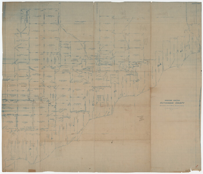

Print $20.00
- Digital $50.00
Working Sketch Hutchinson County
1920
Size 43.4 x 37.2 inches
Map/Doc 89709
[Meander of Yellow House Creek from Northeast Corner of Section 37, Block S to Northeast corner of Section 3, Block O]
![91387, [Meander of Yellow House Creek from Northeast Corner of Section 37, Block S to Northeast corner of Section 3, Block O], Twichell Survey Records](https://historictexasmaps.com/wmedia_w700/maps/91387-1.tif.jpg)
![91387, [Meander of Yellow House Creek from Northeast Corner of Section 37, Block S to Northeast corner of Section 3, Block O], Twichell Survey Records](https://historictexasmaps.com/wmedia_w700/maps/91387-1.tif.jpg)
Print $20.00
- Digital $50.00
[Meander of Yellow House Creek from Northeast Corner of Section 37, Block S to Northeast corner of Section 3, Block O]
Size 24.8 x 32.7 inches
Map/Doc 91387
Thomas Ross Survey


Print $20.00
- Digital $50.00
Thomas Ross Survey
1954
Size 16.8 x 17.6 inches
Map/Doc 92181
Map of State University Land, Pecos County, Texas


Print $20.00
- Digital $50.00
Map of State University Land, Pecos County, Texas
1929
Size 42.1 x 33.5 inches
Map/Doc 91626
University of Texas System University Lands


Print $20.00
- Digital $50.00
University of Texas System University Lands
Size 23.2 x 17.9 inches
Map/Doc 93251
Map Showing Lands Owned by Capitol Freehold Land and Investment Company, Ltd.
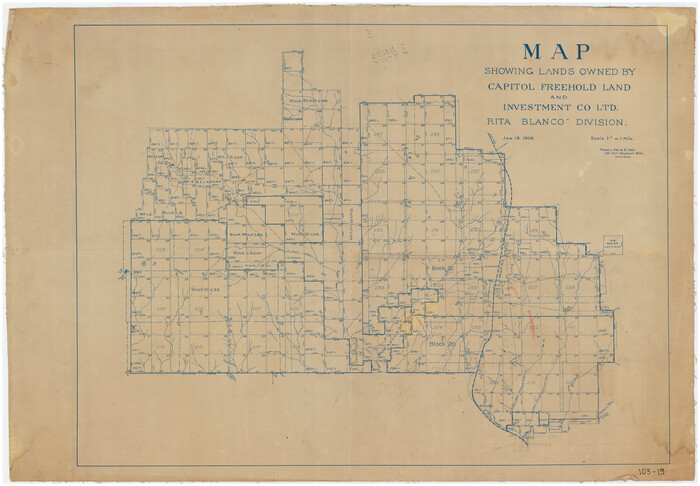

Print $20.00
- Digital $50.00
Map Showing Lands Owned by Capitol Freehold Land and Investment Company, Ltd.
1909
Size 36.4 x 25.2 inches
Map/Doc 90733
[Sections 1035-1038, E. B. Logan survey and vicinity]
![90342, [Sections 1035-1038, E. B. Logan survey and vicinity], Twichell Survey Records](https://historictexasmaps.com/wmedia_w700/maps/90342-1.tif.jpg)
![90342, [Sections 1035-1038, E. B. Logan survey and vicinity], Twichell Survey Records](https://historictexasmaps.com/wmedia_w700/maps/90342-1.tif.jpg)
Print $3.00
- Digital $50.00
[Sections 1035-1038, E. B. Logan survey and vicinity]
Size 15.0 x 10.6 inches
Map/Doc 90342
[Tie line from Northeast Block 36, Township 5N to Northwest corner Block M]
![90559, [Tie line from Northeast Block 36, Township 5N to Northwest corner Block M], Twichell Survey Records](https://historictexasmaps.com/wmedia_w700/maps/90559-1.tif.jpg)
![90559, [Tie line from Northeast Block 36, Township 5N to Northwest corner Block M], Twichell Survey Records](https://historictexasmaps.com/wmedia_w700/maps/90559-1.tif.jpg)
Print $20.00
- Digital $50.00
[Tie line from Northeast Block 36, Township 5N to Northwest corner Block M]
Size 22.3 x 10.3 inches
Map/Doc 90559
[Blocks CC41 and 8]
![90550, [Blocks CC41 and 8], Twichell Survey Records](https://historictexasmaps.com/wmedia_w700/maps/90550-1.tif.jpg)
![90550, [Blocks CC41 and 8], Twichell Survey Records](https://historictexasmaps.com/wmedia_w700/maps/90550-1.tif.jpg)
Print $2.00
- Digital $50.00
[Blocks CC41 and 8]
Size 15.5 x 8.3 inches
Map/Doc 90550
Sketch for Blocks D6, D7, D8 situated in Val Verde County, Texas
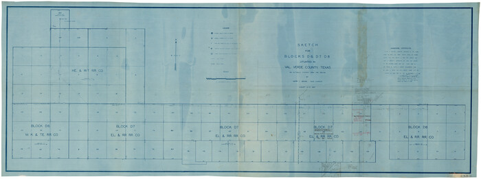

Print $40.00
- Digital $50.00
Sketch for Blocks D6, D7, D8 situated in Val Verde County, Texas
1937
Size 98.2 x 37.5 inches
Map/Doc 93165
Subdivision of Midland County School Land, Hockley and Cochran Counties, Texas
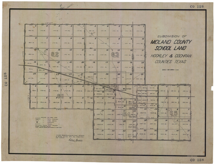

Print $20.00
- Digital $50.00
Subdivision of Midland County School Land, Hockley and Cochran Counties, Texas
Size 30.5 x 23.3 inches
Map/Doc 92517
You may also like
Bandera County Sketch File 30


Print $40.00
- Digital $50.00
Bandera County Sketch File 30
Size 16.8 x 13.4 inches
Map/Doc 14021
Texas Boundary Line
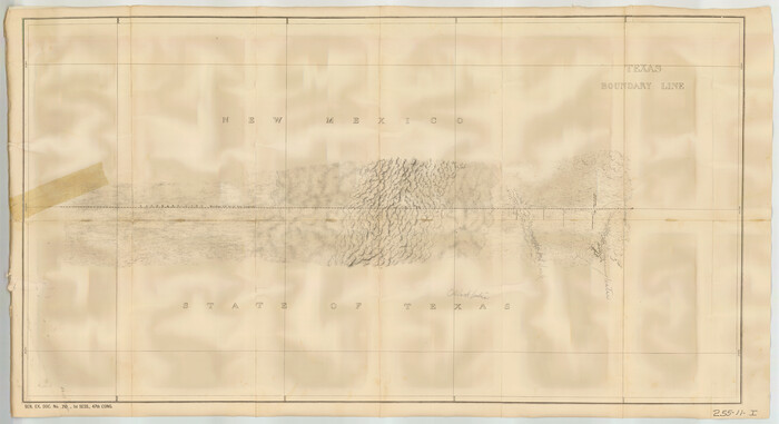

Print $20.00
- Digital $50.00
Texas Boundary Line
Size 21.6 x 11.9 inches
Map/Doc 92078
Flight Mission No. BRA-16M, Frame 145, Jefferson County
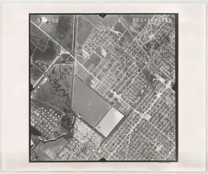

Print $20.00
- Digital $50.00
Flight Mission No. BRA-16M, Frame 145, Jefferson County
1953
Size 18.7 x 22.3 inches
Map/Doc 85751
Flight Mission No. DAG-21K, Frame 125, Matagorda County

Print $20.00
- Digital $50.00
Flight Mission No. DAG-21K, Frame 125, Matagorda County
1952
Size 18.5 x 22.4 inches
Map/Doc 86451
Yellowhouse Land Company's Subdivision of State Capitol Leagues Hockley County, Texas
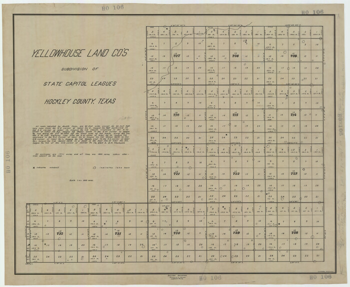

Print $20.00
- Digital $50.00
Yellowhouse Land Company's Subdivision of State Capitol Leagues Hockley County, Texas
Size 30.7 x 24.9 inches
Map/Doc 92260
Map of Anderson County, Texas
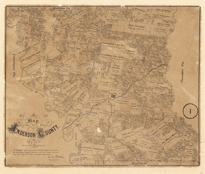

Print $20.00
- Digital $50.00
Map of Anderson County, Texas
1879
Size 18.5 x 21.7 inches
Map/Doc 377
Taylor County Working Sketch 1


Print $20.00
- Digital $50.00
Taylor County Working Sketch 1
1924
Size 16.3 x 15.1 inches
Map/Doc 69610
[Sketch of area just south of Levi Pruitt survey]
![91854, [Sketch of area just south of Levi Pruitt survey], Twichell Survey Records](https://historictexasmaps.com/wmedia_w700/maps/91854-1.tif.jpg)
![91854, [Sketch of area just south of Levi Pruitt survey], Twichell Survey Records](https://historictexasmaps.com/wmedia_w700/maps/91854-1.tif.jpg)
Print $20.00
- Digital $50.00
[Sketch of area just south of Levi Pruitt survey]
Size 24.9 x 18.6 inches
Map/Doc 91854
Jasper County Sketch File 23


Print $20.00
- Digital $50.00
Jasper County Sketch File 23
Size 15.3 x 24.6 inches
Map/Doc 11850
English Field Notes of the Spanish Archives - Book 9


English Field Notes of the Spanish Archives - Book 9
1835
Map/Doc 96535
Cogdell Ranch Kent County, Texas


Print $20.00
- Digital $50.00
Cogdell Ranch Kent County, Texas
1950
Size 24.8 x 13.5 inches
Map/Doc 92189
Morris County Rolled Sketch 2A
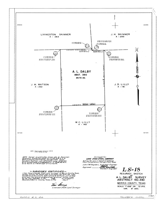

Print $20.00
- Digital $50.00
Morris County Rolled Sketch 2A
Size 24.3 x 19.1 inches
Map/Doc 10242
![90550, [Blocks CC41 and 8], Twichell Survey Records](https://historictexasmaps.com/wmedia_w1800h1800/maps/90550-1.tif.jpg)