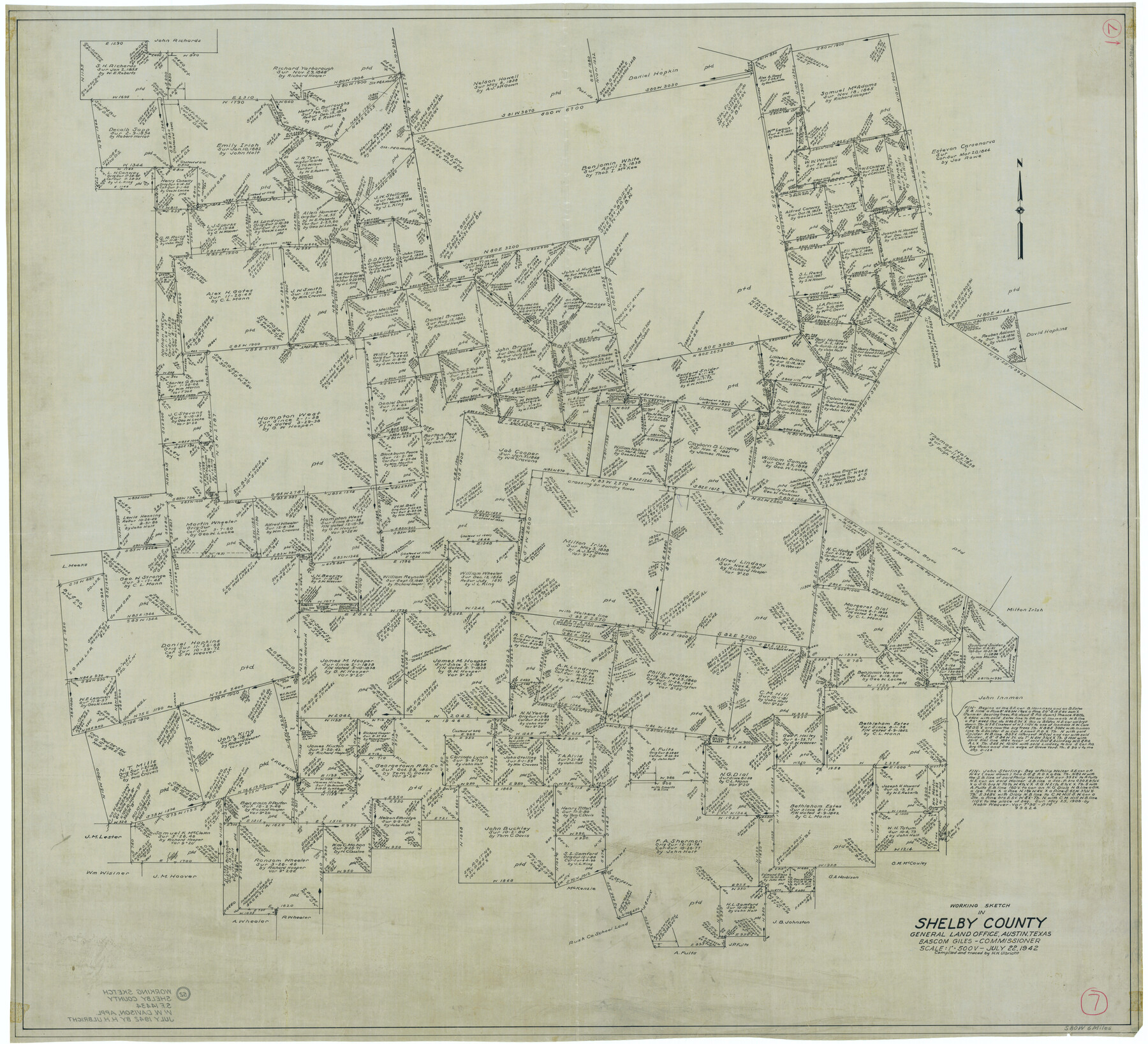
Shelby County Working Sketch 7
-
Map/Doc
63860
-
Collection
General Map Collection
-
Object Dates
7/22/1942 (Creation Date)
-
People and Organizations
Herbert H. Ulbricht (Draftsman)
-
Counties
Shelby
-
Subjects
Surveying Working Sketch
-
Height x Width
40.2 x 44.2 inches
102.1 x 112.3 cm
-
Scale
1" = 500 varas
Part of: General Map Collection
[Bastrop District]
![3131, [Bastrop District], General Map Collection](https://historictexasmaps.com/wmedia_w700/maps/3131.tif.jpg)
Print $40.00
- Digital $50.00
[Bastrop District]
1895
Size 36.5 x 52.0 inches
Map/Doc 3131
Val Verde County Working Sketch 78

Print $40.00
- Digital $50.00
Val Verde County Working Sketch 78
1972
Size 45.3 x 62.1 inches
Map/Doc 72213
Calhoun County Rolled Sketch 16

Print $20.00
- Digital $50.00
Calhoun County Rolled Sketch 16
1957
Size 33.6 x 33.8 inches
Map/Doc 8549
Austin County Sketch File 14

Print $40.00
- Digital $50.00
Austin County Sketch File 14
Size 18.8 x 8.8 inches
Map/Doc 13880
Close-up: USA - Arkansas, Oklahoma, Louisiana, Texas

Close-up: USA - Arkansas, Oklahoma, Louisiana, Texas
1974
Size 35.1 x 23.1 inches
Map/Doc 96845
Fractional Township No. 10 South Range No. 9 East of the Indian Meridian, Indian Territory

Print $20.00
- Digital $50.00
Fractional Township No. 10 South Range No. 9 East of the Indian Meridian, Indian Territory
1898
Size 19.3 x 24.4 inches
Map/Doc 75217

Hardin County Working Sketch 2

Print $20.00
- Digital $50.00
Hardin County Working Sketch 2
1903
Size 23.2 x 21.9 inches
Map/Doc 63400
Sketch G Showing the Progress of the Survey in Section VII From 1849 to 1852

Print $20.00
- Digital $50.00
Sketch G Showing the Progress of the Survey in Section VII From 1849 to 1852
1852
Size 13.6 x 25.8 inches
Map/Doc 97219
Reagan County Rolled Sketch 36

Print $20.00
- Digital $50.00
Reagan County Rolled Sketch 36
1960
Size 31.0 x 13.4 inches
Map/Doc 7449
Flight Mission No. CGI-1N, Frame 133, Cameron County

Print $20.00
- Digital $50.00
Flight Mission No. CGI-1N, Frame 133, Cameron County
1955
Size 18.5 x 22.1 inches
Map/Doc 84489
Donley County Boundary File 3

Print $33.00
- Digital $50.00
Donley County Boundary File 3
Size 13.2 x 8.7 inches
Map/Doc 52623
You may also like


The Republic County of Bexar. Spring 1842

Print $20.00
The Republic County of Bexar. Spring 1842
2020
Size 14.7 x 21.7 inches
Map/Doc 96100
[Southwest Portion of Lynn County, Southeast Portion of Terry County]
![91305, [Southwest Portion of Lynn County, Southeast Portion of Terry County], Twichell Survey Records](https://historictexasmaps.com/wmedia_w700/maps/91305-1.tif.jpg)
Print $20.00
- Digital $50.00
[Southwest Portion of Lynn County, Southeast Portion of Terry County]
1952
Size 34.3 x 35.1 inches
Map/Doc 91305
'O Bar O' Ranch

Print $40.00
- Digital $50.00
'O Bar O' Ranch
1946
Size 46.2 x 80.7 inches
Map/Doc 93209
Sabine County Working Sketch 8

Print $20.00
- Digital $50.00
Sabine County Working Sketch 8
1923
Size 40.8 x 43.5 inches
Map/Doc 63679
Presidio County Sketch File 102

Print $4.00
- Digital $50.00
Presidio County Sketch File 102
Size 11.3 x 8.8 inches
Map/Doc 34793
Atascosa County Boundary File 6

Print $34.00
- Digital $50.00
Atascosa County Boundary File 6
Size 9.1 x 23.0 inches
Map/Doc 50205
Missouri, Kansas, and Texas Railway

Print $20.00
Missouri, Kansas, and Texas Railway
1878
Size 16.5 x 12.2 inches
Map/Doc 76188
Reagan County Sketch File 2

Print $2.00
- Digital $50.00
Reagan County Sketch File 2
Size 10.8 x 6.6 inches
Map/Doc 34979
Section F Tech Memorial Park, Inc.

Print $20.00
- Digital $50.00
Section F Tech Memorial Park, Inc.
Size 18.4 x 34.8 inches
Map/Doc 92358