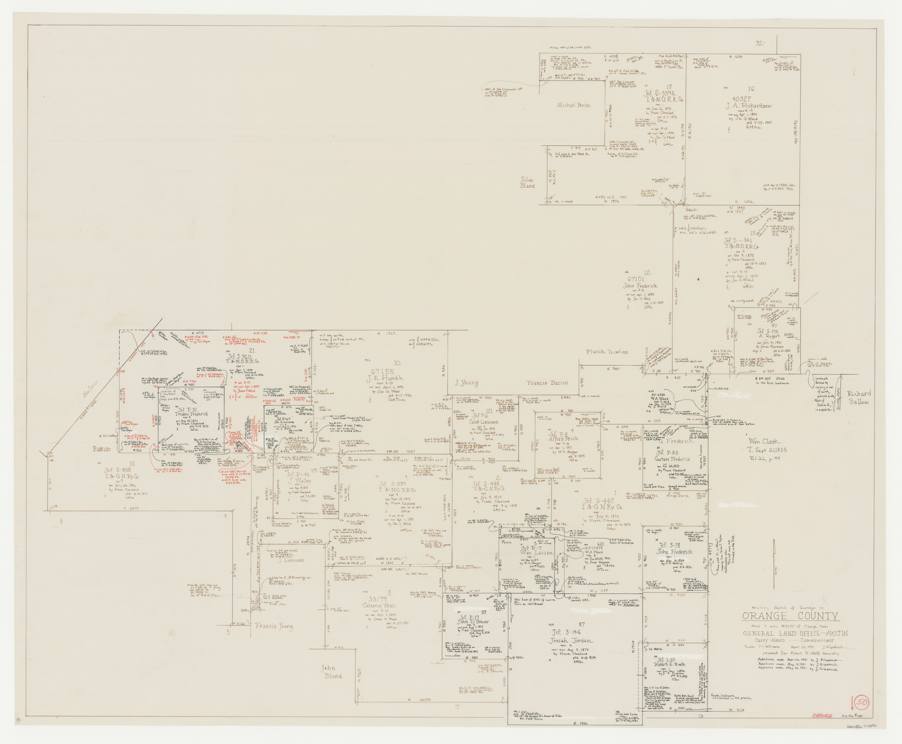
Orange County Working Sketch 50
-
Map/Doc
71382
-
Collection
General Map Collection
-
Object Dates
4/22/1991 (Creation Date)
-
People and Organizations
Joan Kilpatrick (Draftsman)
-
Counties
Orange
-
Subjects
Surveying Working Sketch
-
Height x Width
36.0 x 43.6 inches
91.4 x 110.7 cm
-
Scale
1" = 300 varas
Part of: General Map Collection
Rockwall County Working Sketch 3

Print $20.00
- Digital $50.00
Rockwall County Working Sketch 3
1923
Size 22.6 x 18.7 inches
Map/Doc 63595
Hemphill County Sketch File 6

Print $8.00
- Digital $50.00
Hemphill County Sketch File 6
1902
Size 14.2 x 8.6 inches
Map/Doc 26299
Bee County Sketch File 8b

Print $4.00
- Digital $50.00
Bee County Sketch File 8b
Size 11.5 x 8.1 inches
Map/Doc 14287
Galveston County Sketch File 69

Print $226.00
- Digital $50.00
Galveston County Sketch File 69
1884
Size 14.4 x 9.0 inches
Map/Doc 23815
Mills County Sketch File 28

Print $8.00
- Digital $50.00
Mills County Sketch File 28
2000
Size 14.3 x 8.7 inches
Map/Doc 31684
Tyler County Sketch File 19

Print $4.00
- Digital $50.00
Tyler County Sketch File 19
Size 3.5 x 6.1 inches
Map/Doc 38670
Edwards County Sketch File 46

Print $26.00
- Digital $50.00
Edwards County Sketch File 46
1954
Size 11.3 x 8.7 inches
Map/Doc 21792
Harris County Sketch File 56

Print $4.00
- Digital $50.00
Harris County Sketch File 56
1918
Size 8.2 x 12.8 inches
Map/Doc 25454
Stephens County Sketch File 8

Print $40.00
- Digital $50.00
Stephens County Sketch File 8
1879
Size 13.5 x 14.2 inches
Map/Doc 37027
Harris County Working Sketch 47

Print $40.00
- Digital $50.00
Harris County Working Sketch 47
1942
Size 39.5 x 51.9 inches
Map/Doc 65939
Webb County Rolled Sketch 46

Print $20.00
- Digital $50.00
Webb County Rolled Sketch 46
1942
Size 25.8 x 27.6 inches
Map/Doc 8202
Crosby County Working Sketch 12

Print $20.00
- Digital $50.00
Crosby County Working Sketch 12
1953
Size 26.0 x 29.8 inches
Map/Doc 68446
You may also like
Medina County Working Sketch 4

Print $40.00
- Digital $50.00
Medina County Working Sketch 4
1945
Size 52.6 x 35.5 inches
Map/Doc 70919
Flight Mission No. CRK-3P, Frame 65, Refugio County

Print $20.00
- Digital $50.00
Flight Mission No. CRK-3P, Frame 65, Refugio County
1956
Size 18.5 x 22.4 inches
Map/Doc 86907
Jeff Davis County Sketch File 29

Print $30.00
- Digital $50.00
Jeff Davis County Sketch File 29
Size 14.2 x 8.5 inches
Map/Doc 28008
Lampasas County Sketch File 11

Print $4.00
- Digital $50.00
Lampasas County Sketch File 11
1874
Size 12.2 x 7.9 inches
Map/Doc 29420
Clarke and Courts' Map of Jefferson County and Beaumont and Sour Lake Oil Fields

Print $20.00
Clarke and Courts' Map of Jefferson County and Beaumont and Sour Lake Oil Fields
1901
Size 28.2 x 24.3 inches
Map/Doc 79289
[Sketch of Blocks C2, C, D7, A, RG and San Augustine County School Land]
![93021, [Sketch of Blocks C2, C, D7, A, RG and San Augustine County School Land], Twichell Survey Records](https://historictexasmaps.com/wmedia_w700/maps/93021-1.tif.jpg)
Print $20.00
- Digital $50.00
[Sketch of Blocks C2, C, D7, A, RG and San Augustine County School Land]
Size 15.5 x 25.8 inches
Map/Doc 93021
Oldham County Sketch File 19

Print $20.00
- Digital $50.00
Oldham County Sketch File 19
1904
Size 18.2 x 24.0 inches
Map/Doc 12116
Erath County Sketch File 4

Print $8.00
- Digital $50.00
Erath County Sketch File 4
1853
Size 13.1 x 8.3 inches
Map/Doc 22259
La Salle County Working Sketch 7

Print $20.00
- Digital $50.00
La Salle County Working Sketch 7
1922
Size 35.0 x 36.5 inches
Map/Doc 70308
Collin County Working Sketch 8

Print $20.00
- Digital $50.00
Collin County Working Sketch 8
2010
Size 27.4 x 18.9 inches
Map/Doc 89262
Leon County Sketch File 5a

Print $4.00
- Digital $50.00
Leon County Sketch File 5a
1861
Size 13.1 x 8.5 inches
Map/Doc 29717
Boundary Between the United States & Mexico Agreed Upon by the Joint Commission under the Treaty of Guadalupe Hidalgo

Print $20.00
- Digital $50.00
Boundary Between the United States & Mexico Agreed Upon by the Joint Commission under the Treaty of Guadalupe Hidalgo
1853
Size 24.0 x 18.3 inches
Map/Doc 65396