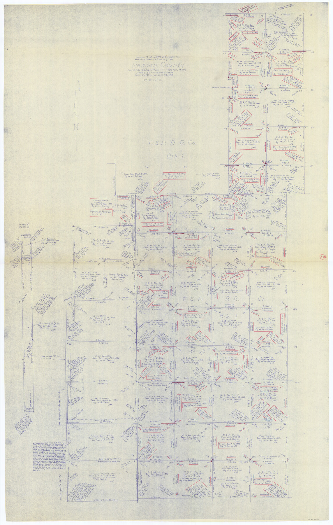
Reagan County Working Sketch 33
-
Map/Doc
71875
-
Collection
General Map Collection
-
Object Dates
6/24/1965 (Creation Date)
-
Counties
Reagan
-
Subjects
Surveying Working Sketch
-
Height x Width
66.2 x 42.0 inches
168.2 x 106.7 cm
-
Scale
1" = 400 varas
Part of: General Map Collection
Kaufman County Working Sketch 8

Print $20.00
- Digital $50.00
Kaufman County Working Sketch 8
1987
Size 35.7 x 42.3 inches
Map/Doc 66671
Somervell County Working Sketch 3

Print $20.00
- Digital $50.00
Somervell County Working Sketch 3
1968
Size 23.0 x 30.4 inches
Map/Doc 63907
McLennan County Sketch File 5

Print $9.00
- Digital $50.00
McLennan County Sketch File 5
Size 11.0 x 17.0 inches
Map/Doc 31240
Nueces County NRC Article 33.136 Sketch 3

Print $68.00
- Digital $50.00
Nueces County NRC Article 33.136 Sketch 3
2002
Size 24.7 x 36.5 inches
Map/Doc 87922
Flight Mission No. DCL-6C, Frame 115, Kenedy County

Print $20.00
- Digital $50.00
Flight Mission No. DCL-6C, Frame 115, Kenedy County
1943
Size 18.5 x 22.4 inches
Map/Doc 85945
Guadalupe County

Print $20.00
- Digital $50.00
Guadalupe County
1854
Size 25.0 x 21.1 inches
Map/Doc 3609
Kent County Rolled Sketch 5

Print $20.00
- Digital $50.00
Kent County Rolled Sketch 5
1951
Size 43.7 x 36.9 inches
Map/Doc 78522
Brewster County Working Sketch 41

Print $20.00
- Digital $50.00
Brewster County Working Sketch 41
1945
Size 30.3 x 38.4 inches
Map/Doc 67575
Nueces County Sketch File 64

Print $10.00
- Digital $50.00
Nueces County Sketch File 64
1979
Size 11.2 x 8.6 inches
Map/Doc 32975
Cass County Working Sketch 21

Print $20.00
- Digital $50.00
Cass County Working Sketch 21
1961
Size 24.3 x 37.4 inches
Map/Doc 67924
Dimmit County Sketch File 37

Print $6.00
- Digital $50.00
Dimmit County Sketch File 37
1894
Size 10.4 x 12.7 inches
Map/Doc 21161
Map of Wise County

Print $20.00
- Digital $50.00
Map of Wise County
1862
Size 23.5 x 19.0 inches
Map/Doc 4162
You may also like
Duval County Sketch File 55

Print $20.00
- Digital $50.00
Duval County Sketch File 55
1937
Size 22.3 x 17.1 inches
Map/Doc 11404
Johnson County Working Sketch 21

Print $20.00
- Digital $50.00
Johnson County Working Sketch 21
1995
Size 18.1 x 29.6 inches
Map/Doc 66634
Robertson County Working Sketch 13

Print $20.00
- Digital $50.00
Robertson County Working Sketch 13
1987
Size 28.0 x 29.4 inches
Map/Doc 63586
[Galveston, Harrisburg & San Antonio through El Paso County]
![64003, [Galveston, Harrisburg & San Antonio through El Paso County], General Map Collection](https://historictexasmaps.com/wmedia_w700/maps/64003.tif.jpg)
Print $20.00
- Digital $50.00
[Galveston, Harrisburg & San Antonio through El Paso County]
1907
Size 13.7 x 33.9 inches
Map/Doc 64003
Armstrong County Boundary File 1 and 1a

Print $10.00
- Digital $50.00
Armstrong County Boundary File 1 and 1a
Size 9.0 x 8.1 inches
Map/Doc 50121
Lynn County Working Sketch 2

Print $20.00
- Digital $50.00
Lynn County Working Sketch 2
1951
Size 19.8 x 42.5 inches
Map/Doc 70672
Nueces County Rolled Sketch 56

Print $53.00
- Digital $50.00
Nueces County Rolled Sketch 56
1978
Size 10.0 x 15.1 inches
Map/Doc 47890
Map of Defunct and Ghost Counties in Texas

Print $20.00
- Digital $50.00
Map of Defunct and Ghost Counties in Texas
1939
Size 35.0 x 35.9 inches
Map/Doc 2148
Travis County Working Sketch 56

Print $20.00
- Digital $50.00
Travis County Working Sketch 56
1989
Size 19.7 x 20.4 inches
Map/Doc 69440
Edwards County Rolled Sketch O

Print $20.00
- Digital $50.00
Edwards County Rolled Sketch O
Size 13.6 x 18.3 inches
Map/Doc 5820
Starr County Rolled Sketch 46A

Print $20.00
- Digital $50.00
Starr County Rolled Sketch 46A
1986
Size 17.9 x 34.4 inches
Map/Doc 7837
Ride the Texas Independence Trail [Recto]
![94166, Ride the Texas Independence Trail [Recto], General Map Collection](https://historictexasmaps.com/wmedia_w700/maps/94166.tif.jpg)
Ride the Texas Independence Trail [Recto]
1968
Size 18.4 x 24.5 inches
Map/Doc 94166