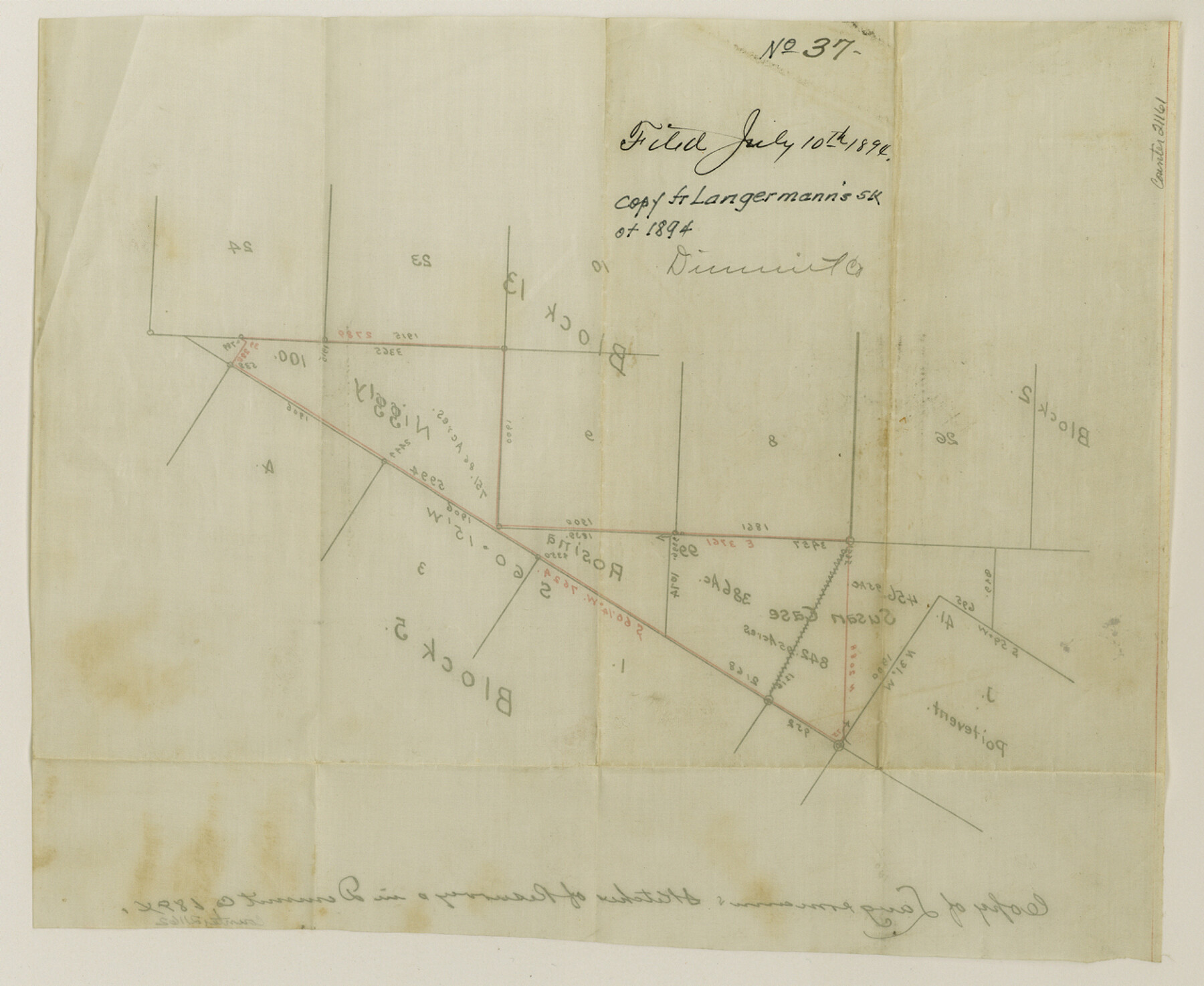
Dimmit County Sketch File 37
[Copy of Langermann's sketches of resurveys in Dimmit County]
-
Map/Doc
21161
-
Collection
General Map Collection
-
Object Dates
1894 (Creation Date)
1894/7/10 (File Date)
-
People and Organizations
A. Langermann (Surveyor/Engineer)
-
Counties
Dimmit
-
Subjects
Surveying Sketch File
-
Height x Width
10.4 x 12.7 inches
26.4 x 32.3 cm
-
Medium
paper, manuscript
Part of: General Map Collection
Map showing location of Texas Prison Farms surveyed for the Texas Prison System

Print $20.00
- Digital $50.00
Map showing location of Texas Prison Farms surveyed for the Texas Prison System
1934
Size 15.6 x 12.3 inches
Map/Doc 94277
Crane County Sketch File 5

Print $6.00
- Digital $50.00
Crane County Sketch File 5
1886
Size 14.3 x 8.6 inches
Map/Doc 19564
Brewster County Rolled Sketch C

Print $40.00
- Digital $50.00
Brewster County Rolled Sketch C
Size 39.0 x 71.8 inches
Map/Doc 8466
Travis County Sketch File 76

Print $68.00
- Digital $50.00
Travis County Sketch File 76
1996
Size 11.4 x 8.9 inches
Map/Doc 38474
Henderson County Working Sketch 12

Print $20.00
- Digital $50.00
Henderson County Working Sketch 12
1915
Size 23.3 x 24.9 inches
Map/Doc 66145
Key to Photo Index Sheets of Texas Coast Portion

Print $20.00
- Digital $50.00
Key to Photo Index Sheets of Texas Coast Portion
1954
Size 20.0 x 24.0 inches
Map/Doc 83436
San Patricio County Sketch File 44

Print $12.00
- Digital $50.00
San Patricio County Sketch File 44
1942
Size 11.4 x 8.9 inches
Map/Doc 36267
Oldham County Rolled Sketch Z

Print $20.00
- Digital $50.00
Oldham County Rolled Sketch Z
Size 26.1 x 28.7 inches
Map/Doc 7178
Map of Presidio County

Print $40.00
- Digital $50.00
Map of Presidio County
1895
Size 53.0 x 38.6 inches
Map/Doc 3968
Orange County Rolled Sketch 12

Print $20.00
- Digital $50.00
Orange County Rolled Sketch 12
Size 23.6 x 19.2 inches
Map/Doc 7179
Jasper County Boundary File 2

Print $58.00
- Digital $50.00
Jasper County Boundary File 2
Size 9.0 x 8.0 inches
Map/Doc 55469
Webb County Sketch File 18

Print $20.00
- Digital $50.00
Webb County Sketch File 18
1886
Size 19.9 x 17.7 inches
Map/Doc 12637
You may also like
Bailey County Sketch File 12

Print $8.00
- Digital $50.00
Bailey County Sketch File 12
Size 8.3 x 12.0 inches
Map/Doc 13969
Dallas County

Print $20.00
- Digital $50.00
Dallas County
1942
Size 45.5 x 38.0 inches
Map/Doc 16954
Photostat of section of hydrographic surveys H-5399, H-4822, H-470

Print $2.00
- Digital $50.00
Photostat of section of hydrographic surveys H-5399, H-4822, H-470
1933
Size 10.8 x 8.1 inches
Map/Doc 61157
Zapata County Working Sketch 7

Print $40.00
- Digital $50.00
Zapata County Working Sketch 7
1946
Size 42.8 x 53.4 inches
Map/Doc 62058
Flight Mission No. BRA-6M, Frame 95, Jefferson County

Print $20.00
- Digital $50.00
Flight Mission No. BRA-6M, Frame 95, Jefferson County
1953
Size 18.5 x 22.2 inches
Map/Doc 85438
Nueces County Rolled Sketch 79

Print $20.00
- Digital $50.00
Nueces County Rolled Sketch 79
1894
Size 38.1 x 31.3 inches
Map/Doc 9627
Howard County Sketch File 16

Print $40.00
- Digital $50.00
Howard County Sketch File 16
1947
Size 19.7 x 9.0 inches
Map/Doc 26878
McMullen County Working Sketch 21

Print $40.00
- Digital $50.00
McMullen County Working Sketch 21
1947
Size 38.3 x 53.4 inches
Map/Doc 70722
Motley County Sketch File 30 (S)

Print $40.00
- Digital $50.00
Motley County Sketch File 30 (S)
1905
Size 16.1 x 17.1 inches
Map/Doc 42147
Dimmit County Working Sketch 9

Print $20.00
- Digital $50.00
Dimmit County Working Sketch 9
1934
Size 36.3 x 42.2 inches
Map/Doc 68670
Chambers County Rolled Sketch 25

Print $20.00
- Digital $50.00
Chambers County Rolled Sketch 25
1944
Size 33.9 x 31.5 inches
Map/Doc 8618
Uvalde County Sketch File 32

Print $12.00
- Digital $50.00
Uvalde County Sketch File 32
2008
Size 8.5 x 11.0 inches
Map/Doc 89025