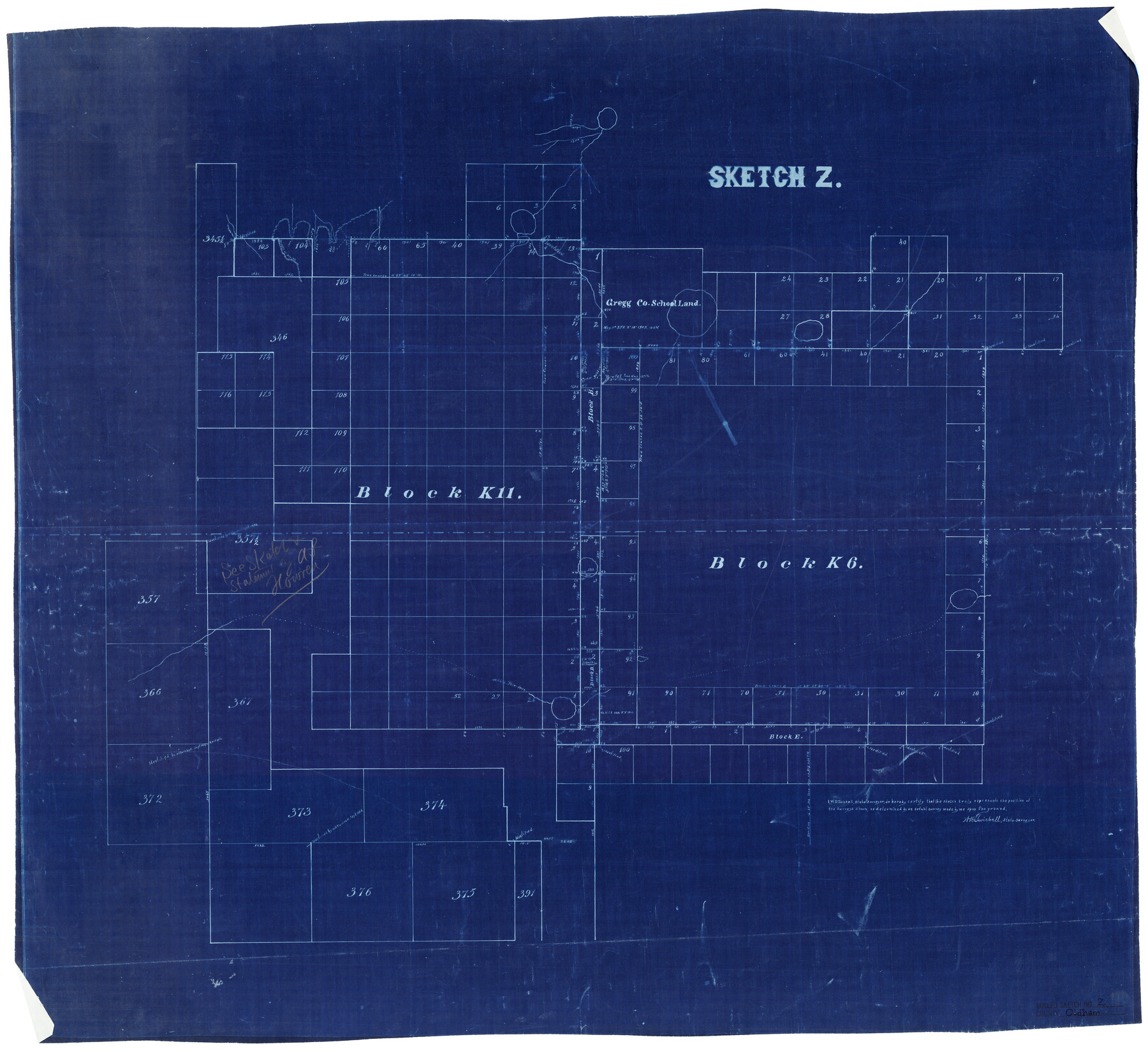
Oldham County Rolled Sketch Z
Sketch Z [showing Blocks K11 and K6 in Oldham and Deaf Smith Counties]
-
Map/Doc
7178
-
Collection
General Map Collection
-
People and Organizations
W.D. Twichell (Surveyor/Engineer)
-
Counties
Oldham Deaf Smith
-
Subjects
Surveying Rolled Sketch
-
Height x Width
26.1 x 28.7 inches
66.3 x 72.9 cm
-
Medium
blueprint/diazo
Part of: General Map Collection
Flight Mission No. CLL-3N, Frame 10, Willacy County

Print $20.00
- Digital $50.00
Flight Mission No. CLL-3N, Frame 10, Willacy County
1954
Size 18.5 x 22.2 inches
Map/Doc 87076
Comal County Working Sketch 9

Print $20.00
- Digital $50.00
Comal County Working Sketch 9
1972
Size 29.0 x 30.4 inches
Map/Doc 68175
Gaines County Sketch File 17

Print $32.00
- Digital $50.00
Gaines County Sketch File 17
1962
Size 11.3 x 8.8 inches
Map/Doc 23204
Upton County Rolled Sketch 33

Print $20.00
- Digital $50.00
Upton County Rolled Sketch 33
1951
Size 39.2 x 33.0 inches
Map/Doc 8076
Rusk County Working Sketch 7

Print $20.00
- Digital $50.00
Rusk County Working Sketch 7
1982
Size 22.3 x 36.7 inches
Map/Doc 63642

Brazoria County Rolled Sketch 50

Print $20.00
- Digital $50.00
Brazoria County Rolled Sketch 50
1914
Size 18.4 x 26.4 inches
Map/Doc 5187
Delta County Sketch File 2

Print $4.00
- Digital $50.00
Delta County Sketch File 2
1871
Size 8.4 x 13.2 inches
Map/Doc 20670

Presidio County Sketch File 62A

Print $20.00
- Digital $50.00
Presidio County Sketch File 62A
Size 14.6 x 20.8 inches
Map/Doc 11717
Maps of Gulf Intracoastal Waterway, Texas - Sabine River to the Rio Grande and connecting waterways including ship channels

Print $20.00
- Digital $50.00
Maps of Gulf Intracoastal Waterway, Texas - Sabine River to the Rio Grande and connecting waterways including ship channels
1966
Size 14.6 x 22.2 inches
Map/Doc 61947
Crockett County Working Sketch 69

Print $20.00
- Digital $50.00
Crockett County Working Sketch 69
1962
Size 34.8 x 45.5 inches
Map/Doc 68402
You may also like
Burleson County Working Sketch 15

Print $20.00
- Digital $50.00
Burleson County Working Sketch 15
1980
Size 15.0 x 21.1 inches
Map/Doc 67734
Matagorda County Boundary File 1

Print $10.00
- Digital $50.00
Matagorda County Boundary File 1
Size 14.1 x 8.6 inches
Map/Doc 56884
Coke County Rolled Sketch 6

Print $20.00
- Digital $50.00
Coke County Rolled Sketch 6
Size 31.1 x 32.2 inches
Map/Doc 8625

Flight Mission No. CLL-3N, Frame 4, Willacy County

Print $20.00
- Digital $50.00
Flight Mission No. CLL-3N, Frame 4, Willacy County
1954
Size 18.5 x 22.0 inches
Map/Doc 87070
Ector County Working Sketch 22

Print $20.00
- Digital $50.00
Ector County Working Sketch 22
1959
Size 24.2 x 36.6 inches
Map/Doc 68865
Brewster County Rolled Sketch 154

Print $20.00
- Digital $50.00
Brewster County Rolled Sketch 154
2001
Size 36.3 x 28.0 inches
Map/Doc 5325
Madison County Working Sketch 7

Print $20.00
- Digital $50.00
Madison County Working Sketch 7
1982
Size 12.7 x 17.4 inches
Map/Doc 70769
In the Supreme Court of the United States, The State of Oklahoma, Complainant vs. The State of Texas, Defendant, The United States of America, Intervener, Red River Valley, Texas and Oklahoma Between the 98th and 100th Meridians in Five Sheets, 1921

Print $40.00
- Digital $50.00
In the Supreme Court of the United States, The State of Oklahoma, Complainant vs. The State of Texas, Defendant, The United States of America, Intervener, Red River Valley, Texas and Oklahoma Between the 98th and 100th Meridians in Five Sheets, 1921
1921
Size 38.4 x 60.0 inches
Map/Doc 75275
Railroad Track Map, T&PRRCo., Culberson County, Texas

Print $4.00
- Digital $50.00
Railroad Track Map, T&PRRCo., Culberson County, Texas
1910
Size 11.7 x 18.6 inches
Map/Doc 62830
Pecos County Working Sketch 122

Print $40.00
- Digital $50.00
Pecos County Working Sketch 122
1973
Size 51.9 x 36.7 inches
Map/Doc 71595
Flight Mission No. CUG-3P, Frame 79, Kleberg County

Print $20.00
- Digital $50.00
Flight Mission No. CUG-3P, Frame 79, Kleberg County
1956
Size 18.4 x 22.2 inches
Map/Doc 86254