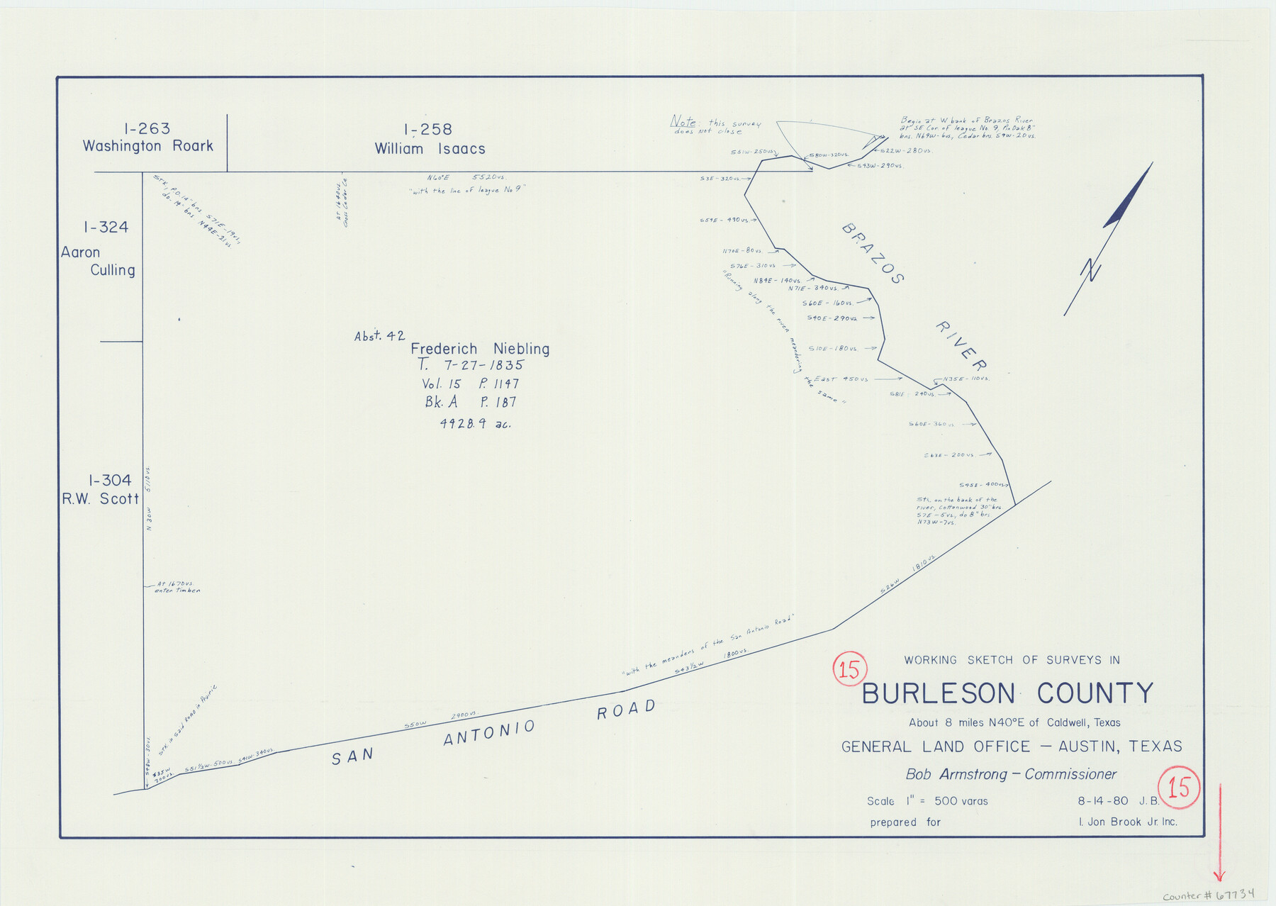
Burleson County Working Sketch 15
-
Map/Doc
67734
-
Collection
General Map Collection
-
Counties
Burleson
-
Subjects
Cadastral Surveying Working Sketch
-
Height x Width
15.0 x 21.1 inches
38.1 x 53.6 cm
Part of: General Map Collection
Uvalde County Working Sketch 67
![75973, Uvalde County Working Sketch 67, General Map Collection](https://historictexasmaps.com/wmedia_w700/maps/75973.tif.jpg)
Print $20.00
- Digital $50.00
Uvalde County Working Sketch 67
1956
Size 22.8 x 20.9 inches
Map/Doc 75973
[Sketch of Col. Cooke's Military Road expedition from Red River to Austin]
![82146, [Sketch of Col. Cooke's Military Road expedition from Red River to Austin], General Map Collection](https://historictexasmaps.com/wmedia_w700/maps/82146.tif.jpg)
Print $20.00
- Digital $50.00
[Sketch of Col. Cooke's Military Road expedition from Red River to Austin]
Size 33.4 x 23.4 inches
Map/Doc 82146
Tarrant County Rolled Sketch 2
![9984, Tarrant County Rolled Sketch 2, General Map Collection](https://historictexasmaps.com/wmedia_w700/maps/9984.tif.jpg)
Print $40.00
- Digital $50.00
Tarrant County Rolled Sketch 2
1955
Size 96.5 x 23.5 inches
Map/Doc 9984
Culberson County Working Sketch 19
![68471, Culberson County Working Sketch 19, General Map Collection](https://historictexasmaps.com/wmedia_w700/maps/68471.tif.jpg)
Print $20.00
- Digital $50.00
Culberson County Working Sketch 19
Size 30.0 x 43.6 inches
Map/Doc 68471
Houston County Rolled Sketch 11
![6231, Houston County Rolled Sketch 11, General Map Collection](https://historictexasmaps.com/wmedia_w700/maps/6231.tif.jpg)
Print $20.00
- Digital $50.00
Houston County Rolled Sketch 11
1988
Size 29.9 x 22.9 inches
Map/Doc 6231
Kimble County Working Sketch 91
![70159, Kimble County Working Sketch 91, General Map Collection](https://historictexasmaps.com/wmedia_w700/maps/70159.tif.jpg)
Print $4.00
- Digital $50.00
Kimble County Working Sketch 91
Size 26.8 x 25.5 inches
Map/Doc 70159
Hemphill County Working Sketch 13
![66108, Hemphill County Working Sketch 13, General Map Collection](https://historictexasmaps.com/wmedia_w700/maps/66108.tif.jpg)
Print $4.00
- Digital $50.00
Hemphill County Working Sketch 13
Size 26.2 x 24.0 inches
Map/Doc 66108
Amistad International Reservoir on Rio Grande 101
![75532, Amistad International Reservoir on Rio Grande 101, General Map Collection](https://historictexasmaps.com/wmedia_w700/maps/75532.tif.jpg)
Print $20.00
- Digital $50.00
Amistad International Reservoir on Rio Grande 101
1950
Size 28.5 x 40.9 inches
Map/Doc 75532
Jim Wells County Working Sketch 10
![66608, Jim Wells County Working Sketch 10, General Map Collection](https://historictexasmaps.com/wmedia_w700/maps/66608.tif.jpg)
Print $4.00
- Digital $50.00
Jim Wells County Working Sketch 10
Size 18.7 x 17.8 inches
Map/Doc 66608
Presidio County Working Sketch Graphic Index, South Part, Sheet 2 (Sketches 45 to Most Recent)
![76671, Presidio County Working Sketch Graphic Index, South Part, Sheet 2 (Sketches 45 to Most Recent), General Map Collection](https://historictexasmaps.com/wmedia_w700/maps/76671.tif.jpg)
Print $20.00
- Digital $50.00
Presidio County Working Sketch Graphic Index, South Part, Sheet 2 (Sketches 45 to Most Recent)
1975
Size 32.4 x 37.9 inches
Map/Doc 76671
Montgomery County Rolled Sketch 37
![9544, Montgomery County Rolled Sketch 37, General Map Collection](https://historictexasmaps.com/wmedia_w700/maps/9544.tif.jpg)
Print $40.00
- Digital $50.00
Montgomery County Rolled Sketch 37
Size 52.7 x 44.3 inches
Map/Doc 9544
Motley County Sketch File 16 (N)
![32052, Motley County Sketch File 16 (N), General Map Collection](https://historictexasmaps.com/wmedia_w700/pdf_converted_jpg/qi_pdf_thumbnail_13206.jpg)
Print $16.00
- Digital $50.00
Motley County Sketch File 16 (N)
1911
Size 11.0 x 8.6 inches
Map/Doc 32052
You may also like
Houston County Sketch File 1b
![26744, Houston County Sketch File 1b, General Map Collection](https://historictexasmaps.com/wmedia_w700/pdf_converted_jpg/qi_pdf_thumbnail_11973.jpg)
Print $4.00
- Digital $50.00
Houston County Sketch File 1b
1857
Size 8.5 x 7.9 inches
Map/Doc 26744
Jasper County Rolled Sketch 2
![6349, Jasper County Rolled Sketch 2, General Map Collection](https://historictexasmaps.com/wmedia_w700/maps/6349.tif.jpg)
Print $20.00
- Digital $50.00
Jasper County Rolled Sketch 2
1941
Size 37.9 x 24.1 inches
Map/Doc 6349
The Chief Justice County of Washington. Lands in Conflict with Nacogdoches County
![96078, The Chief Justice County of Washington. Lands in Conflict with Nacogdoches County, Nancy and Jim Tiller Digital Collection](https://historictexasmaps.com/wmedia_w700/maps/96078.tif.jpg)
Print $20.00
- Digital $50.00
The Chief Justice County of Washington. Lands in Conflict with Nacogdoches County
2020
Size 6.5 x 10.8 inches
Map/Doc 96078
[Throckmorton County]
![89875, [Throckmorton County], Twichell Survey Records](https://historictexasmaps.com/wmedia_w700/maps/89875-1.tif.jpg)
Print $20.00
- Digital $50.00
[Throckmorton County]
Size 39.7 x 40.0 inches
Map/Doc 89875
Foard County Sketch File 20
![22837, Foard County Sketch File 20, General Map Collection](https://historictexasmaps.com/wmedia_w700/pdf_converted_jpg/qi_pdf_thumbnail_11171.jpg)
Print $4.00
- Digital $50.00
Foard County Sketch File 20
1885
Size 14.3 x 9.0 inches
Map/Doc 22837
Flight Mission No. CRC-1R, Frame 38, Chambers County
![84706, Flight Mission No. CRC-1R, Frame 38, Chambers County, General Map Collection](https://historictexasmaps.com/wmedia_w700/pdf_converted_jpg/qi_pdf_thumbnail_31921.jpg)
Print $20.00
- Digital $50.00
Flight Mission No. CRC-1R, Frame 38, Chambers County
1956
Size 18.7 x 22.4 inches
Map/Doc 84706
Brewster County Rolled Sketch 72
![5238, Brewster County Rolled Sketch 72, General Map Collection](https://historictexasmaps.com/wmedia_w700/maps/5238.tif.jpg)
Print $20.00
- Digital $50.00
Brewster County Rolled Sketch 72
1941
Size 42.0 x 28.4 inches
Map/Doc 5238
Brazoria County Working Sketch 20
![67505, Brazoria County Working Sketch 20, General Map Collection](https://historictexasmaps.com/wmedia_w700/maps/67505.tif.jpg)
Print $40.00
- Digital $50.00
Brazoria County Working Sketch 20
1951
Size 50.3 x 42.9 inches
Map/Doc 67505
Henderson County Working Sketch 14
![66147, Henderson County Working Sketch 14, General Map Collection](https://historictexasmaps.com/wmedia_w700/maps/66147.tif.jpg)
Print $20.00
- Digital $50.00
Henderson County Working Sketch 14
Size 26.2 x 22.9 inches
Map/Doc 66147
Johnson County Sketch File 11
![28447, Johnson County Sketch File 11, General Map Collection](https://historictexasmaps.com/wmedia_w700/pdf_converted_jpg/qi_pdf_thumbnail_12330.jpg)
Print $8.00
- Digital $50.00
Johnson County Sketch File 11
1880
Size 8.0 x 6.8 inches
Map/Doc 28447
Intracoastal Waterway, Houma, LA to Corpus Christi, TX
![61908, Intracoastal Waterway, Houma, LA to Corpus Christi, TX, General Map Collection](https://historictexasmaps.com/wmedia_w700/maps/61908.tif.jpg)
Print $20.00
- Digital $50.00
Intracoastal Waterway, Houma, LA to Corpus Christi, TX
Size 18.7 x 30.2 inches
Map/Doc 61908
Crockett County
![82212, Crockett County, General Map Collection](https://historictexasmaps.com/wmedia_w700/maps/82212-2.tif.jpg)
Print $40.00
- Digital $50.00
Crockett County
1882
Size 57.1 x 67.6 inches
Map/Doc 82212