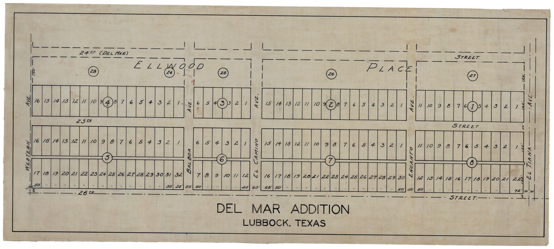
Del Mar Addition
-
Map/Doc
92789
-
Collection
Twichell Survey Records
-
Counties
Lubbock
-
Height x Width
29.4 x 13.4 inches
74.7 x 34.0 cm
Part of: Twichell Survey Records
[Pencil sketch showing blocks B17, B20-B28 and surrounding]
![89734, [Pencil sketch showing blocks B17, B20-B28 and surrounding], Twichell Survey Records](https://historictexasmaps.com/wmedia_w700/maps/89734-1.tif.jpg)
Print $40.00
- Digital $50.00
[Pencil sketch showing blocks B17, B20-B28 and surrounding]
Size 58.5 x 40.0 inches
Map/Doc 89734
[Surveys to the North and West of the Francis Blundell survey containing townsite]
![90883, [Surveys to the North and West of the Francis Blundell survey containing townsite], Twichell Survey Records](https://historictexasmaps.com/wmedia_w700/maps/90883-1.tif.jpg)
Print $20.00
- Digital $50.00
[Surveys to the North and West of the Francis Blundell survey containing townsite]
Size 26.2 x 19.9 inches
Map/Doc 90883
[Sketch to show the positions of surveys 1-18 made by G. R. Jowell with reference to Capitol Leagues]
![90539, [Sketch to show the positions of surveys 1-18 made by G. R. Jowell with reference to Capitol Leagues], Twichell Survey Records](https://historictexasmaps.com/wmedia_w700/maps/90539-1.tif.jpg)
Print $20.00
- Digital $50.00
[Sketch to show the positions of surveys 1-18 made by G. R. Jowell with reference to Capitol Leagues]
1905
Size 14.7 x 14.6 inches
Map/Doc 90539
[Plat showing 1.0 acre of land out of the NE/4 of Section 2, Block E]
![92706, [Plat showing 1.0 acre of land out of the NE/4 of Section 2, Block E], Twichell Survey Records](https://historictexasmaps.com/wmedia_w700/maps/92706-1.tif.jpg)
Print $3.00
- Digital $50.00
[Plat showing 1.0 acre of land out of the NE/4 of Section 2, Block E]
1954
Size 9.6 x 10.2 inches
Map/Doc 92706
[Sketch showing T. & N. O. Blocks 3T and 6T, Denison and Pacific RR. Co. Block O-18 and surrounding areas]
![93001, [Sketch showing T. & N. O. Blocks 3T and 6T, Denison and Pacific RR. Co. Block O-18 and surrounding areas], Twichell Survey Records](https://historictexasmaps.com/wmedia_w700/maps/93001-1.tif.jpg)
Print $20.00
- Digital $50.00
[Sketch showing T. & N. O. Blocks 3T and 6T, Denison and Pacific RR. Co. Block O-18 and surrounding areas]
Size 21.0 x 28.5 inches
Map/Doc 93001
![91655, [Capitol Lands], Twichell Survey Records](https://historictexasmaps.com/wmedia_w700/maps/91655-1.tif.jpg)
[Sketch of Hicks Strip No. 2 between M. H. Hagaman and Z. C. Collier Surveys]
![91914, [Sketch of Hicks Strip No. 2 between M. H. Hagaman and Z. C. Collier Surveys], Twichell Survey Records](https://historictexasmaps.com/wmedia_w700/maps/91914-1.tif.jpg)
Print $20.00
- Digital $50.00
[Sketch of Hicks Strip No. 2 between M. H. Hagaman and Z. C. Collier Surveys]
Size 15.3 x 16.3 inches
Map/Doc 91914
Sylvan Sanders Map of Gaines County, Texas

Print $40.00
- Digital $50.00
Sylvan Sanders Map of Gaines County, Texas
Size 54.3 x 40.8 inches
Map/Doc 89844
![91462, [Block B7], Twichell Survey Records](https://historictexasmaps.com/wmedia_w700/maps/91462-1.tif.jpg)
[East line of Captiol Land in Deaf Smith, Castro and Lamb]
![90603, [East line of Captiol Land in Deaf Smith, Castro and Lamb], Twichell Survey Records](https://historictexasmaps.com/wmedia_w700/maps/90603-1.tif.jpg)
Print $20.00
- Digital $50.00
[East line of Captiol Land in Deaf Smith, Castro and Lamb]
Size 45.4 x 17.4 inches
Map/Doc 90603
[G. B. & C. N. G. Blocks K3-K8]
![90537, [G. B. & C. N. G. Blocks K3-K8], Twichell Survey Records](https://historictexasmaps.com/wmedia_w700/maps/90537-1.tif.jpg)
Print $3.00
- Digital $50.00
[G. B. & C. N. G. Blocks K3-K8]
Size 11.4 x 13.7 inches
Map/Doc 90537
[West line of H. & T. C. RR. Block 97 and Blocks 29 and 30]
![90212, [West line of H. & T. C. RR. Block 97 and Blocks 29 and 30], Twichell Survey Records](https://historictexasmaps.com/wmedia_w700/maps/90212-1.tif.jpg)
Print $20.00
- Digital $50.00
[West line of H. & T. C. RR. Block 97 and Blocks 29 and 30]
Size 17.2 x 25.3 inches
Map/Doc 90212
You may also like
Burnet County Boundary File 3

Print $18.00
- Digital $50.00
Burnet County Boundary File 3
Size 12.8 x 8.2 inches
Map/Doc 50863
University Land Field Notes for Blocks 1, 2, 3, 4, 5, 8, 9, and 10 in Andrews County, Block 6 in Andrews, Dawson, Gaines, and Martin Counties, and Block 7 in Andrews and Martin Counties

University Land Field Notes for Blocks 1, 2, 3, 4, 5, 8, 9, and 10 in Andrews County, Block 6 in Andrews, Dawson, Gaines, and Martin Counties, and Block 7 in Andrews and Martin Counties
Map/Doc 81710
[T. & P. Block 44, Township 1S]
![90825, [T. & P. Block 44, Township 1S], Twichell Survey Records](https://historictexasmaps.com/wmedia_w700/maps/90825-2.tif.jpg)
Print $20.00
- Digital $50.00
[T. & P. Block 44, Township 1S]
Size 17.9 x 23.3 inches
Map/Doc 90825
Uvalde County Sketch File 33

Print $56.00
- Digital $50.00
Uvalde County Sketch File 33
2017
Size 11.0 x 8.5 inches
Map/Doc 95251
Mills County Working Sketch 20

Print $20.00
- Digital $50.00
Mills County Working Sketch 20
1970
Size 43.1 x 43.4 inches
Map/Doc 71050
Cass County Working Sketch 26

Print $20.00
- Digital $50.00
Cass County Working Sketch 26
1974
Size 32.1 x 28.9 inches
Map/Doc 67929
Real County Working Sketch 35

Print $20.00
- Digital $50.00
Real County Working Sketch 35
1949
Size 27.7 x 23.6 inches
Map/Doc 71927
Harris County Working Sketch 100

Print $20.00
- Digital $50.00
Harris County Working Sketch 100
1979
Size 29.9 x 31.3 inches
Map/Doc 65992
Travis County Working Sketch 27

Print $20.00
- Digital $50.00
Travis County Working Sketch 27
1951
Size 17.6 x 31.6 inches
Map/Doc 69411
Flight Mission No. CGI-4N, Frame 193, Cameron County

Print $20.00
- Digital $50.00
Flight Mission No. CGI-4N, Frame 193, Cameron County
1955
Size 18.6 x 22.3 inches
Map/Doc 84696
Brazoria County Working Sketch 1

Print $20.00
- Digital $50.00
Brazoria County Working Sketch 1
1907
Size 19.6 x 19.0 inches
Map/Doc 67486
El Paso County Sketch File 23

Print $4.00
- Digital $50.00
El Paso County Sketch File 23
Size 11.3 x 8.6 inches
Map/Doc 22068