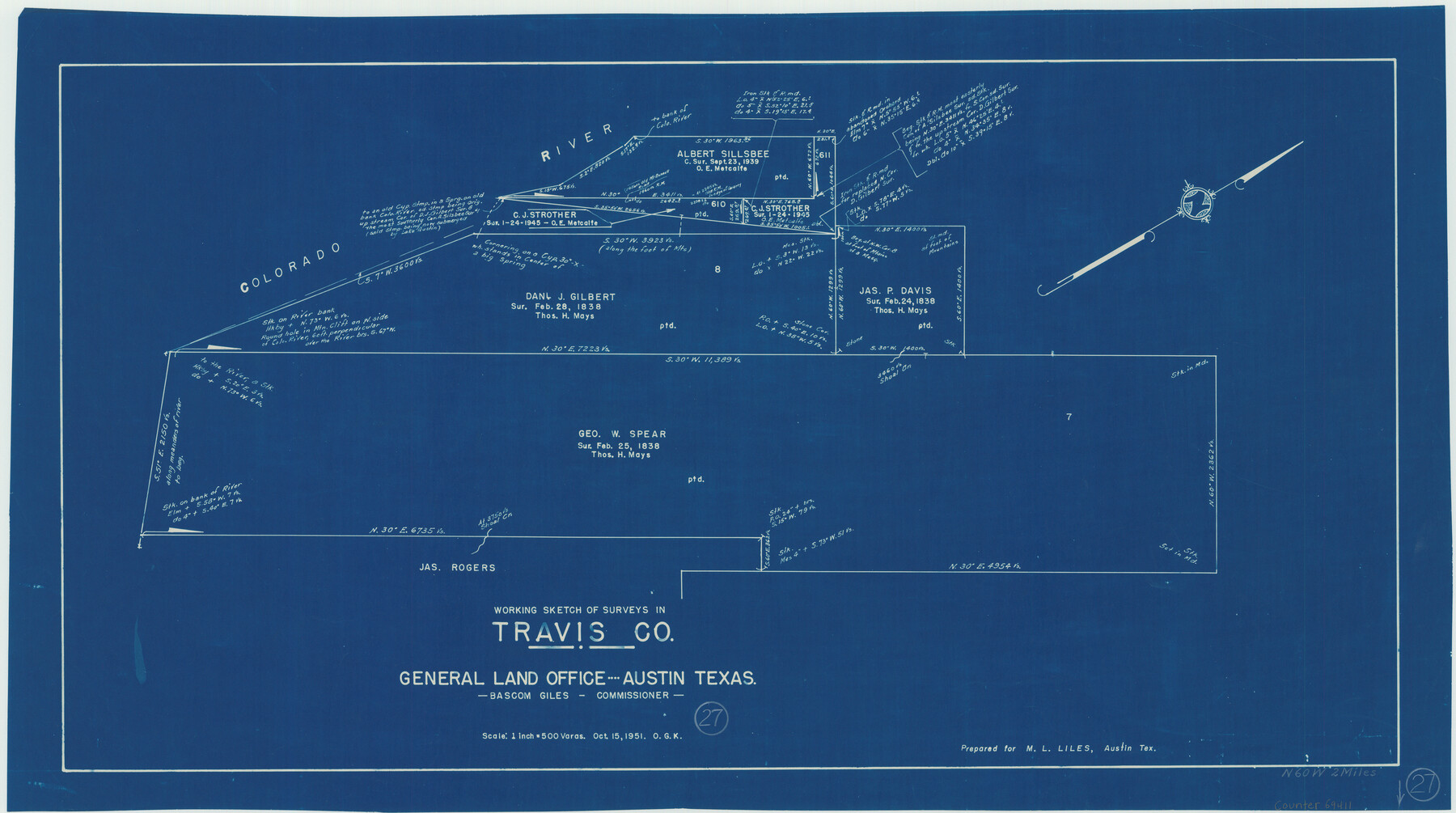
Travis County Working Sketch 27
-
Map/Doc
69411
-
Collection
General Map Collection
-
Object Dates
10/15/1951 (Creation Date)
-
People and Organizations
Otto G. Kurio (Draftsman)
-
Counties
Travis
-
Subjects
Surveying Working Sketch
-
Height x Width
17.6 x 31.6 inches
44.7 x 80.3 cm
-
Scale
1" = 500 varas
Part of: General Map Collection
Edwards County Working Sketch 58

Print $20.00
- Digital $50.00
Edwards County Working Sketch 58
1953
Size 22.4 x 29.8 inches
Map/Doc 68934
Polk County Boundary File 2

Print $8.00
- Digital $50.00
Polk County Boundary File 2
Size 14.2 x 8.7 inches
Map/Doc 57924
Hunt County Rolled Sketch 5

Print $20.00
- Digital $50.00
Hunt County Rolled Sketch 5
1956
Size 27.5 x 24.3 inches
Map/Doc 6269
Limestone County Sketch File 14

Print $4.00
- Digital $50.00
Limestone County Sketch File 14
1883
Size 10.7 x 8.2 inches
Map/Doc 30179
Real County Working Sketch 80

Print $20.00
- Digital $50.00
Real County Working Sketch 80
1984
Size 37.9 x 43.3 inches
Map/Doc 71972
Flight Mission No. CLL-1N, Frame 160, Willacy County

Print $20.00
- Digital $50.00
Flight Mission No. CLL-1N, Frame 160, Willacy County
1954
Size 18.3 x 22.0 inches
Map/Doc 87051
Nueces County Sketch File 5

Print $4.00
- Digital $50.00
Nueces County Sketch File 5
Size 8.1 x 11.0 inches
Map/Doc 32507
Maverick County Working Sketch Graphic Index

Print $20.00
- Digital $50.00
Maverick County Working Sketch Graphic Index
1947
Size 46.4 x 30.3 inches
Map/Doc 76635
Menard County Working Sketch 13

Print $20.00
- Digital $50.00
Menard County Working Sketch 13
1939
Size 27.3 x 38.1 inches
Map/Doc 70960
Swisher County Boundary File 2

Print $106.00
- Digital $50.00
Swisher County Boundary File 2
Size 14.3 x 9.0 inches
Map/Doc 59093
Flight Mission No. BRA-9M, Frame 78, Jefferson County

Print $20.00
- Digital $50.00
Flight Mission No. BRA-9M, Frame 78, Jefferson County
1953
Size 18.5 x 22.5 inches
Map/Doc 85661
Map of DeWitt County

Print $20.00
- Digital $50.00
Map of DeWitt County
1881
Size 21.7 x 24.3 inches
Map/Doc 3478
You may also like
[Sketch of Runnels County School Land and vicinity]
![91666, [Sketch of Runnels County School Land and vicinity], Twichell Survey Records](https://historictexasmaps.com/wmedia_w700/maps/91666-1.tif.jpg)
Print $20.00
- Digital $50.00
[Sketch of Runnels County School Land and vicinity]
Size 17.3 x 15.3 inches
Map/Doc 91666
Colorado County Sketch File 16a

Print $4.00
- Digital $50.00
Colorado County Sketch File 16a
Size 12.7 x 8.1 inches
Map/Doc 18947
Flight Mission No. BRA-7M, Frame 141, Jefferson County

Print $20.00
- Digital $50.00
Flight Mission No. BRA-7M, Frame 141, Jefferson County
1953
Size 18.6 x 22.4 inches
Map/Doc 85535
![78444, [Webb County], General Map Collection](https://historictexasmaps.com/wmedia_w700/maps/78444.tif.jpg)
![91463, [Block B7], Twichell Survey Records](https://historictexasmaps.com/wmedia_w700/maps/91463-1.tif.jpg)
Grayson County Sketch File 3a

Print $20.00
- Digital $50.00
Grayson County Sketch File 3a
1855
Size 19.6 x 25.5 inches
Map/Doc 11580
Lampasas County Boundary File 5

Print $16.00
- Digital $50.00
Lampasas County Boundary File 5
Size 11.1 x 8.7 inches
Map/Doc 56128
Sterling County Rolled Sketch 36

Print $20.00
- Digital $50.00
Sterling County Rolled Sketch 36
Size 24.2 x 38.0 inches
Map/Doc 7860

San Patricio County Sketch File 33

Print $20.00
- Digital $50.00
San Patricio County Sketch File 33
1946
Size 15.5 x 31.0 inches
Map/Doc 12288
Map of Hutchinson County

Print $20.00
- Digital $50.00
Map of Hutchinson County
1898
Size 41.0 x 35.4 inches
Map/Doc 16856
Montgomery County Working Sketch 55

Print $20.00
- Digital $50.00
Montgomery County Working Sketch 55
1961
Size 23.8 x 34.6 inches
Map/Doc 71162