[Webb County]
-
Map/Doc
78444
-
Collection
General Map Collection
-
People and Organizations
Texas General Land Office (Publisher)
-
Counties
Webb
-
Subjects
County
-
Height x Width
41.6 x 31.6 inches
105.7 x 80.3 cm
-
Medium
paper, manuscript
-
Features
Arroyo de San Pedro
San Pedro [Mountain]
Two Brothers [Mountain]
El Almud
San Pedro Creek
Lorenzo Creek
Valanzula Creek
Llave Creek
San Isabel Creek
Palito Blanco Creek
Carrizo Creek
Palafox
San Ambrosia Pass
La Llamado [Mountain]
Eagle Pass Road
Serrito Prieto [Mountain]
Sierete Prite [Mountain]
El Arroyo del Espada
Los Dos Hermanos [Mountains]
Arroyo San Lorenco [sic]
Las Raices Creek
Los Peloncillos [Mountains]
Live Oak Creek
Part of: General Map Collection
Wilbarger County Sketch File 12
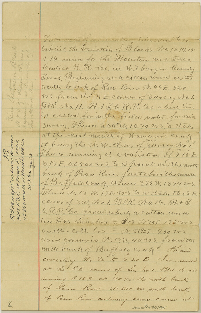

Print $8.00
- Digital $50.00
Wilbarger County Sketch File 12
Size 12.7 x 8.1 inches
Map/Doc 40185
Haskell County Rolled Sketch 9


Print $20.00
- Digital $50.00
Haskell County Rolled Sketch 9
Size 16.4 x 34.3 inches
Map/Doc 6168
Flight Mission No. CLL-3N, Frame 38, Willacy County
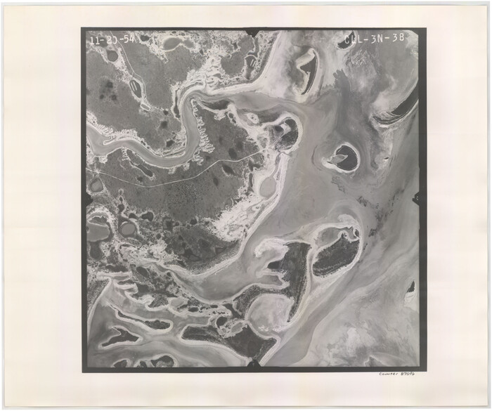

Print $20.00
- Digital $50.00
Flight Mission No. CLL-3N, Frame 38, Willacy County
1954
Size 18.6 x 22.2 inches
Map/Doc 87096
[Sketch showing the Rio Grande with towns and features annotated]
![72897, [Sketch showing the Rio Grande with towns and features annotated], General Map Collection](https://historictexasmaps.com/wmedia_w700/maps/72897.tif.jpg)
![72897, [Sketch showing the Rio Grande with towns and features annotated], General Map Collection](https://historictexasmaps.com/wmedia_w700/maps/72897.tif.jpg)
Print $20.00
- Digital $50.00
[Sketch showing the Rio Grande with towns and features annotated]
1854
Size 23.7 x 18.4 inches
Map/Doc 72897
Map showing lines of march and border patrols, in my Mexican Border Service, 1916-1917
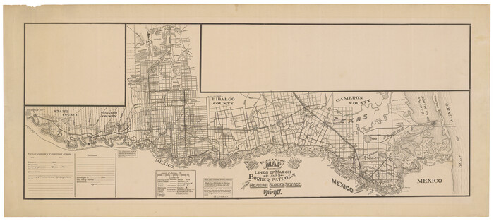

Print $20.00
- Digital $50.00
Map showing lines of march and border patrols, in my Mexican Border Service, 1916-1917
1916
Size 18.7 x 41.7 inches
Map/Doc 95822
Bee County Working Sketch 11
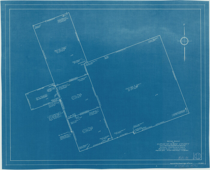

Print $20.00
- Digital $50.00
Bee County Working Sketch 11
1942
Size 19.8 x 24.4 inches
Map/Doc 67261
Atascosa County Sketch File 24
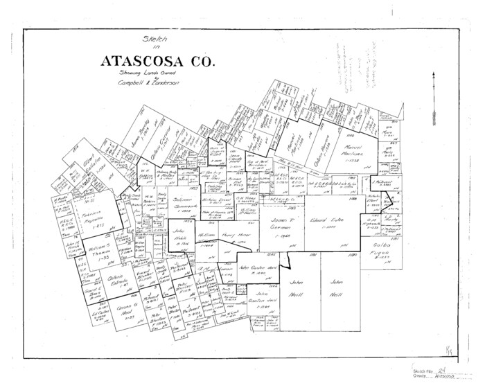

Print $40.00
- Digital $50.00
Atascosa County Sketch File 24
Size 17.3 x 21.5 inches
Map/Doc 10861
Pecos County Rolled Sketch 85
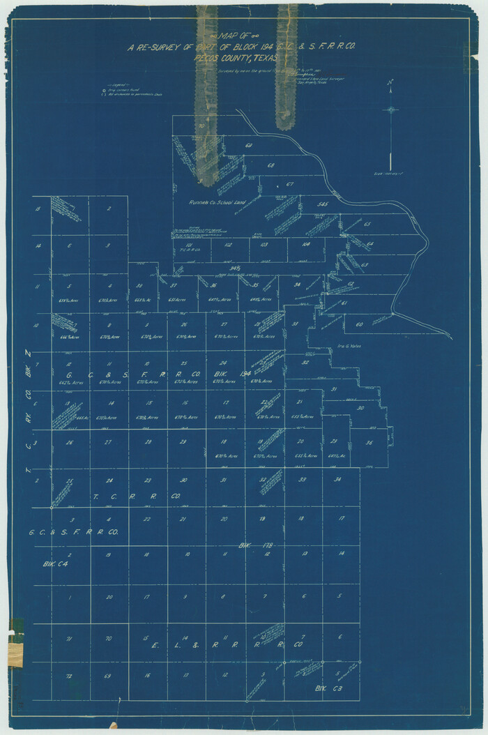

Print $20.00
- Digital $50.00
Pecos County Rolled Sketch 85
1931
Size 36.7 x 24.4 inches
Map/Doc 7243
Montague County Rolled Sketch 9
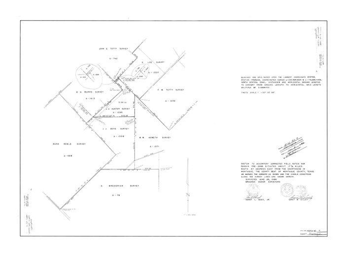

Print $20.00
- Digital $50.00
Montague County Rolled Sketch 9
Size 29.1 x 39.4 inches
Map/Doc 6793
Flight Mission No. DAG-21K, Frame 37, Matagorda County

Print $20.00
- Digital $50.00
Flight Mission No. DAG-21K, Frame 37, Matagorda County
1952
Size 18.5 x 22.4 inches
Map/Doc 86404
Real County Working Sketch 77


Print $20.00
- Digital $50.00
Real County Working Sketch 77
1980
Size 33.1 x 33.3 inches
Map/Doc 71969
Flight Mission No. BRA-16M, Frame 147, Jefferson County


Print $20.00
- Digital $50.00
Flight Mission No. BRA-16M, Frame 147, Jefferson County
1953
Size 18.6 x 22.3 inches
Map/Doc 85753
You may also like
Dimmit County Sketch File 32


Print $6.00
- Digital $50.00
Dimmit County Sketch File 32
1886
Size 13.9 x 8.7 inches
Map/Doc 21148
Map of north end of Brazos Island


Print $20.00
- Digital $50.00
Map of north end of Brazos Island
Size 27.6 x 18.2 inches
Map/Doc 72908
Nueces County, Texas


Print $20.00
- Digital $50.00
Nueces County, Texas
1879
Size 29.3 x 40.0 inches
Map/Doc 590
Travis County Rolled Sketch 45


Print $20.00
- Digital $50.00
Travis County Rolled Sketch 45
Size 19.1 x 25.0 inches
Map/Doc 8042
Nolan County Sketch File 9
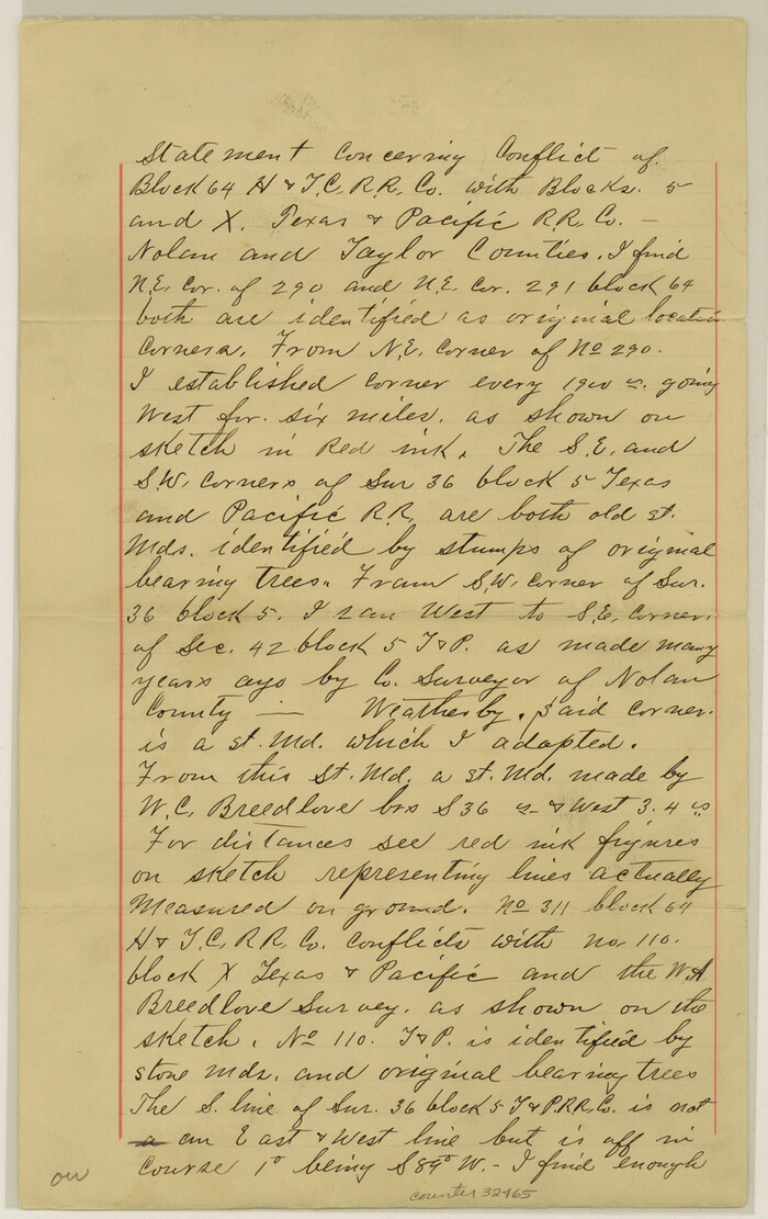

Print $26.00
- Digital $50.00
Nolan County Sketch File 9
1902
Size 14.3 x 9.0 inches
Map/Doc 32465
Galveston Bay
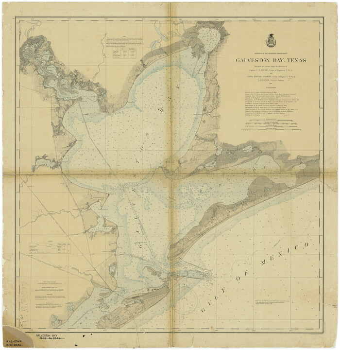

Print $20.00
- Digital $50.00
Galveston Bay
1905
Size 37.5 x 36.7 inches
Map/Doc 69870
Roseborough Lake Sheet, Bowie County, Red River
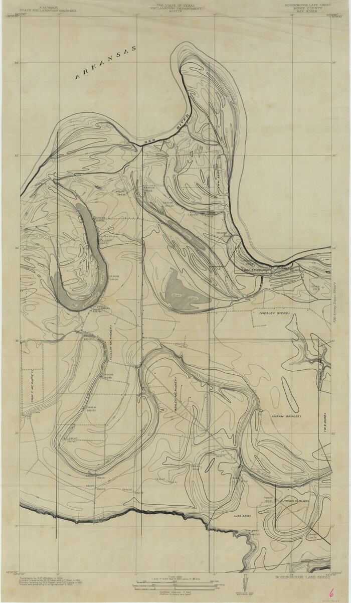

Print $20.00
- Digital $50.00
Roseborough Lake Sheet, Bowie County, Red River
1934
Size 39.5 x 23.0 inches
Map/Doc 75273
Armstrong County Boundary File 1 and 1a
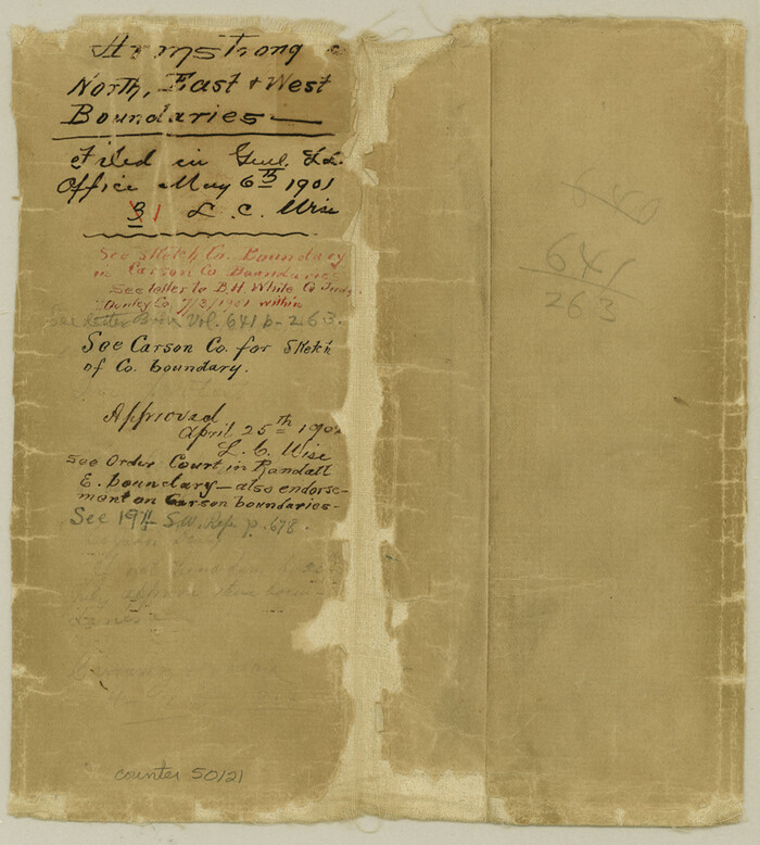

Print $10.00
- Digital $50.00
Armstrong County Boundary File 1 and 1a
Size 9.0 x 8.1 inches
Map/Doc 50121
Kent County Boundary File 3


Print $8.00
- Digital $50.00
Kent County Boundary File 3
Size 11.2 x 8.6 inches
Map/Doc 55824
General Highway Map, Dallam County, Hartley County, Texas


Print $20.00
General Highway Map, Dallam County, Hartley County, Texas
1940
Size 18.3 x 25.1 inches
Map/Doc 79065
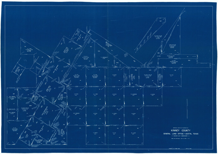
Kinney County Working Sketch 26

Print $40.00
- Digital $50.00
Kinney County Working Sketch 26
1953
Size 37.9 x 53.6 inches
Map/Doc 70208
Edwards County Sketch File VII

Print $8.00
- Digital $50.00
Edwards County Sketch File VII
1912
Size 8.8 x 4.1 inches
Map/Doc 21668
![78444, [Webb County], General Map Collection](https://historictexasmaps.com/wmedia_w1800h1800/maps/78444.tif.jpg)