Pecos County Rolled Sketch 85
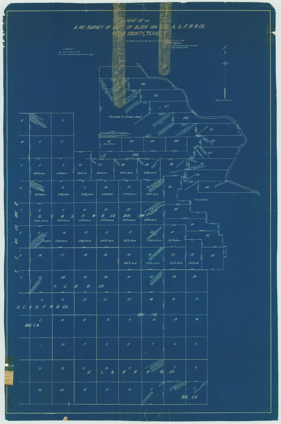
Map of a re-survey of part of Block 194, G. C. & S. F. R.R. Co., Pecos County, Texas
-
Map/Doc
7243
-
Collection
General Map Collection
-
Object Dates
1931/8/17 (Creation Date)
-
People and Organizations
J.A. Simpson (Surveyor/Engineer)
-
Counties
Pecos
-
Subjects
Surveying Rolled Sketch
-
Height x Width
36.7 x 24.4 inches
93.2 x 62.0 cm
-
Medium
blueprint/diazo
-
Scale
1" = 1000 varas
Part of: General Map Collection
Harris County Rolled Sketch 75

Print $20.00
- Digital $50.00
Harris County Rolled Sketch 75
1951
Size 33.8 x 34.9 inches
Map/Doc 76168
Terrell County Working Sketch 61

Print $20.00
- Digital $50.00
Terrell County Working Sketch 61
1962
Size 20.3 x 34.3 inches
Map/Doc 69582
Bandera County Working Sketch 5

Print $3.00
- Digital $50.00
Bandera County Working Sketch 5
1915
Size 12.0 x 9.0 inches
Map/Doc 67598
Runnels County Rolled Sketch 36

Print $40.00
- Digital $50.00
Runnels County Rolled Sketch 36
Size 61.2 x 43.0 inches
Map/Doc 76027
Red River County Sketch File 2

Print $8.00
- Digital $50.00
Red River County Sketch File 2
1852
Size 12.9 x 8.5 inches
Map/Doc 35095
Kinney County Working Sketch 30

Print $40.00
- Digital $50.00
Kinney County Working Sketch 30
1959
Size 52.6 x 34.7 inches
Map/Doc 70212

Calhoun County Rolled Sketch 14

Print $20.00
- Digital $50.00
Calhoun County Rolled Sketch 14
Size 21.8 x 40.2 inches
Map/Doc 5458
Kimble County Rolled Sketch 17 1/2

Print $59.00
- Digital $50.00
Kimble County Rolled Sketch 17 1/2
1889
Size 27.0 x 38.3 inches
Map/Doc 6510
Map of Cherokee County

Print $40.00
- Digital $50.00
Map of Cherokee County
1933
Size 59.9 x 41.5 inches
Map/Doc 1799
Duval County Rolled Sketch 5

Print $20.00
- Digital $50.00
Duval County Rolled Sketch 5
1929
Size 23.0 x 16.8 inches
Map/Doc 5732
Oldham County Working Sketch 6

Print $40.00
- Digital $50.00
Oldham County Working Sketch 6
1981
Size 32.4 x 50.4 inches
Map/Doc 71328
You may also like
Plat of Land Purchased by C. W. Post in Hockley County, Texas

Print $20.00
- Digital $50.00
Plat of Land Purchased by C. W. Post in Hockley County, Texas
Size 18.4 x 14.5 inches
Map/Doc 91196
Sutton County Rolled Sketch 63

Print $40.00
- Digital $50.00
Sutton County Rolled Sketch 63
Size 77.0 x 45.2 inches
Map/Doc 9979

Atascosa County Working Sketch 1b

Print $20.00
- Digital $50.00
Atascosa County Working Sketch 1b
1908
Size 36.2 x 39.0 inches
Map/Doc 67195
Jack County Working Sketch 1

Print $20.00
- Digital $50.00
Jack County Working Sketch 1
Size 28.4 x 27.1 inches
Map/Doc 66427
[Surveys South of Levi Pruitt and Jno. Welch]
![92091, [Surveys South of Levi Pruitt and Jno. Welch], Twichell Survey Records](https://historictexasmaps.com/wmedia_w700/maps/92091-1.tif.jpg)
Print $20.00
- Digital $50.00
[Surveys South of Levi Pruitt and Jno. Welch]
Size 18.2 x 6.3 inches
Map/Doc 92091
Yoakum County Sketch File 14

Print $22.00
- Digital $50.00
Yoakum County Sketch File 14
1937
Size 14.5 x 14.6 inches
Map/Doc 40791
Working Sketch in Hutchinson County

Print $2.00
- Digital $50.00
Working Sketch in Hutchinson County
1898
Size 8.7 x 15.4 inches
Map/Doc 92975
Chambers County Rolled Sketch 27

Print $40.00
- Digital $50.00
Chambers County Rolled Sketch 27
1944
Size 53.2 x 35.4 inches
Map/Doc 8619
Alamo Defenders Heritage Map of Texas

Print $20.00
Alamo Defenders Heritage Map of Texas
2025
Size 36.0 x 24.0 inches
Map/Doc 97433
General Highway Map, DeWitt County, Texas

Print $20.00
General Highway Map, DeWitt County, Texas
1940
Size 18.5 x 25.2 inches
Map/Doc 79075
Gaines County Sketch File 2M

Print $20.00
- Digital $50.00
Gaines County Sketch File 2M
1902
Size 20.8 x 29.4 inches
Map/Doc 11522