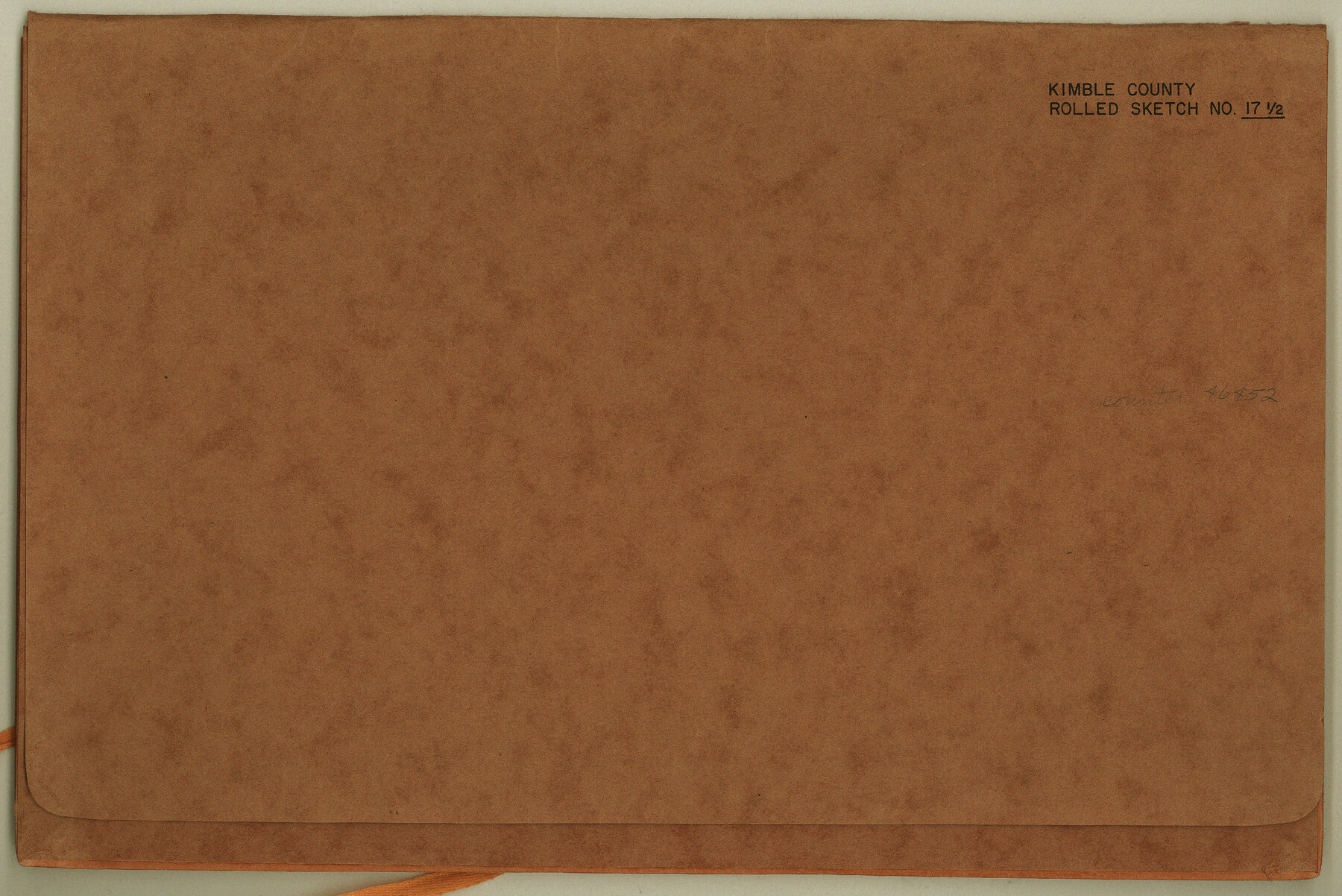
Kimble County Rolled Sketch 17 1/2
Map showing connection lines and location of Block N, G. H. & S. A. Ry. Co. [and surveyor's report]
-
Map/Doc
6510
-
Collection
General Map Collection
-
Object Dates
1889 (Creation Date)
1889/7/12 (File Date)
-
People and Organizations
G.M. Williams (Surveyor/Engineer)
-
Counties
Kimble
-
Subjects
Surveying Rolled Sketch
-
Height x Width
27.0 x 38.3 inches
68.6 x 97.3 cm
-
Medium
multi-page, multi-format
Part of: General Map Collection
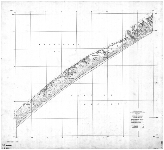
Texas, Matagorda Peninsula, Cotton Bayou

Print $6.00
- Digital $50.00
Texas, Matagorda Peninsula, Cotton Bayou
Size 31.5 x 34.6 inches
Map/Doc 69986
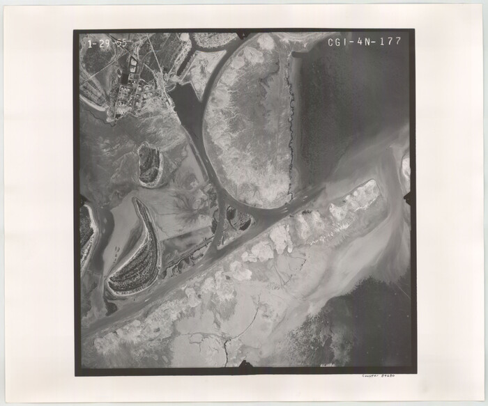
Flight Mission No. CGI-4N, Frame 177, Cameron County

Print $20.00
- Digital $50.00
Flight Mission No. CGI-4N, Frame 177, Cameron County
1955
Size 18.5 x 22.2 inches
Map/Doc 84680
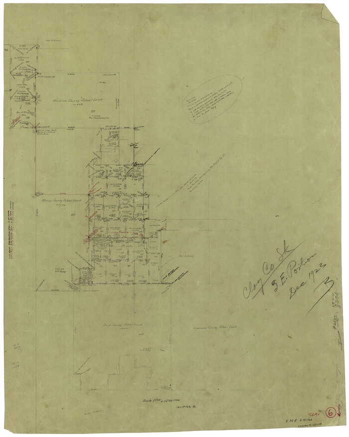
Clay County Working Sketch 6

Print $20.00
- Digital $50.00
Clay County Working Sketch 6
1923
Size 30.0 x 24.1 inches
Map/Doc 68029
Sectional Map No. 2 of the lands and the line of the Texas & Pacific Ry. Co. in Howard, Martin, Andrews, Midland and Tom Green Counties
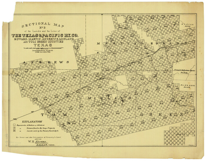

Print $20.00
- Digital $50.00
Sectional Map No. 2 of the lands and the line of the Texas & Pacific Ry. Co. in Howard, Martin, Andrews, Midland and Tom Green Counties
1885
Size 19.1 x 23.3 inches
Map/Doc 4862
Pecos County Rolled Sketch 171
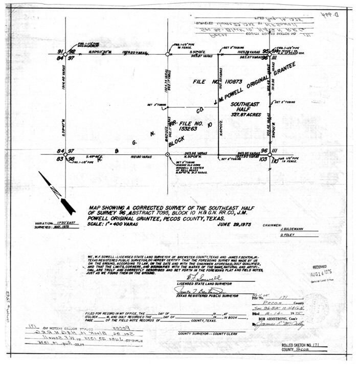

Print $20.00
- Digital $50.00
Pecos County Rolled Sketch 171
1975
Size 17.3 x 17.0 inches
Map/Doc 7293
Ellis County Sketch File 7


Print $40.00
- Digital $50.00
Ellis County Sketch File 7
1859
Size 12.2 x 15.6 inches
Map/Doc 21839
[Jack District]
![1993, [Jack District], General Map Collection](https://historictexasmaps.com/wmedia_w700/maps/1993-1.tif.jpg)
![1993, [Jack District], General Map Collection](https://historictexasmaps.com/wmedia_w700/maps/1993-1.tif.jpg)
Print $40.00
- Digital $50.00
[Jack District]
1878
Size 42.1 x 64.5 inches
Map/Doc 1993
Flight Mission No. DQN-1K, Frame 48, Calhoun County
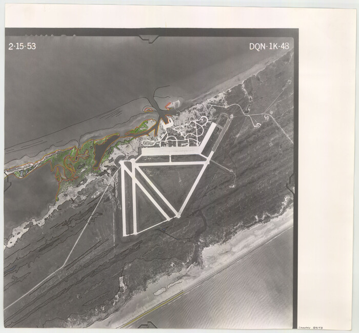

Print $20.00
- Digital $50.00
Flight Mission No. DQN-1K, Frame 48, Calhoun County
1953
Size 17.3 x 18.6 inches
Map/Doc 84148
Hansford County


Print $20.00
- Digital $50.00
Hansford County
1932
Size 41.8 x 39.8 inches
Map/Doc 1847
Lavaca County Working Sketch 15
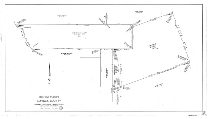

Print $20.00
- Digital $50.00
Lavaca County Working Sketch 15
1965
Size 24.6 x 43.0 inches
Map/Doc 70368
Flight Mission No. CGI-1N, Frame 216, Cameron County

Print $20.00
- Digital $50.00
Flight Mission No. CGI-1N, Frame 216, Cameron County
1955
Size 18.5 x 22.2 inches
Map/Doc 84525
Nacogdoches County
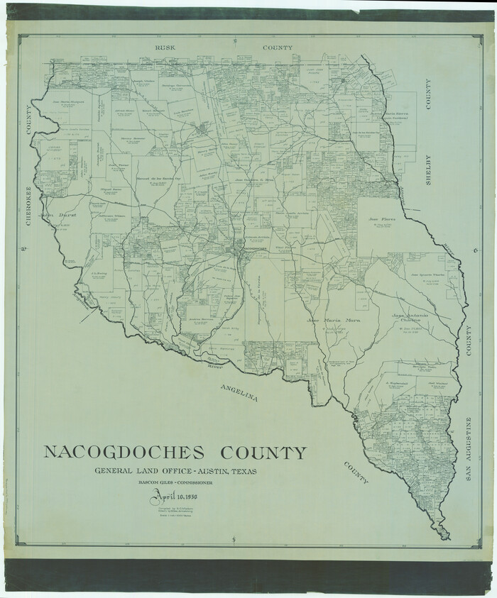

Print $40.00
- Digital $50.00
Nacogdoches County
1950
Size 51.0 x 42.4 inches
Map/Doc 66950
You may also like
Starr County Sketch File 34


Print $20.00
- Digital $50.00
Starr County Sketch File 34
1939
Size 15.8 x 17.6 inches
Map/Doc 12337
Freestone County Working Sketch 23


Print $20.00
- Digital $50.00
Freestone County Working Sketch 23
1982
Size 20.1 x 17.0 inches
Map/Doc 69265
Fannin County Rolled Sketch 18F

Print $2.00
- Digital $50.00
Fannin County Rolled Sketch 18F
Size 8.9 x 8.2 inches
Map/Doc 5873
[Capitol Land Reservation, Brooks and Burleson Blocks 1 and 2, H. & T. C. RR. Company Block 48]
![90773, [Capitol Land Reservation, Brooks and Burleson Blocks 1 and 2, H. & T. C. RR. Company Block 48], Twichell Survey Records](https://historictexasmaps.com/wmedia_w700/maps/90773-1.tif.jpg)
![90773, [Capitol Land Reservation, Brooks and Burleson Blocks 1 and 2, H. & T. C. RR. Company Block 48], Twichell Survey Records](https://historictexasmaps.com/wmedia_w700/maps/90773-1.tif.jpg)
Print $20.00
- Digital $50.00
[Capitol Land Reservation, Brooks and Burleson Blocks 1 and 2, H. & T. C. RR. Company Block 48]
1902
Size 22.0 x 17.1 inches
Map/Doc 90773
Galveston County NRC Article 33.136 Sketch 66

Print $42.00
- Digital $50.00
Galveston County NRC Article 33.136 Sketch 66
2012
Size 23.0 x 34.8 inches
Map/Doc 95000
Kent County Boundary File 4a


Print $18.00
- Digital $50.00
Kent County Boundary File 4a
Size 14.2 x 8.5 inches
Map/Doc 55838
Flight Mission No. BRE-1P, Frame 6, Nueces County
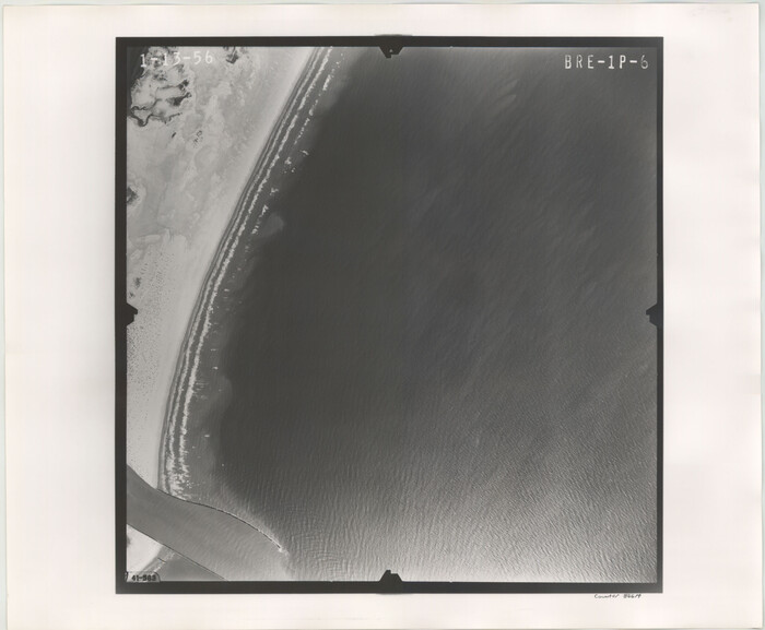

Print $20.00
- Digital $50.00
Flight Mission No. BRE-1P, Frame 6, Nueces County
1956
Size 18.2 x 22.1 inches
Map/Doc 86614
Hays County Rolled Sketch 20A
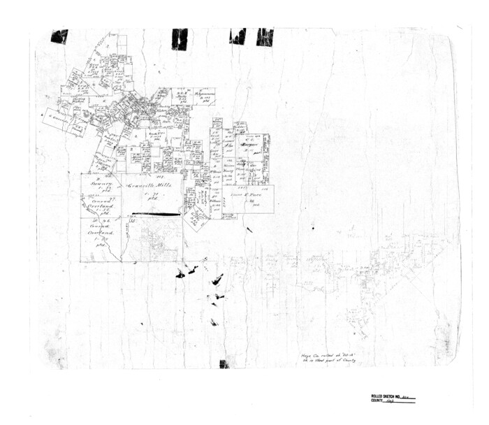

Print $20.00
- Digital $50.00
Hays County Rolled Sketch 20A
Size 20.7 x 23.9 inches
Map/Doc 6177
Jim Hogg Co. [and] Brooks Co.
![4756, Jim Hogg Co. [and] Brooks Co., General Map Collection](https://historictexasmaps.com/wmedia_w700/maps/4756-1.tif.jpg)
![4756, Jim Hogg Co. [and] Brooks Co., General Map Collection](https://historictexasmaps.com/wmedia_w700/maps/4756-1.tif.jpg)
Print $20.00
- Digital $50.00
Jim Hogg Co. [and] Brooks Co.
1913
Size 31.8 x 41.8 inches
Map/Doc 4756
[Beaumont, Sour Lake and Western Ry. Right of Way and Alignment - Frisco]
![64133, [Beaumont, Sour Lake and Western Ry. Right of Way and Alignment - Frisco], General Map Collection](https://historictexasmaps.com/wmedia_w700/maps/64133.tif.jpg)
![64133, [Beaumont, Sour Lake and Western Ry. Right of Way and Alignment - Frisco], General Map Collection](https://historictexasmaps.com/wmedia_w700/maps/64133.tif.jpg)
Print $20.00
- Digital $50.00
[Beaumont, Sour Lake and Western Ry. Right of Way and Alignment - Frisco]
1910
Size 20.0 x 45.5 inches
Map/Doc 64133
Plat of Resurvey of Sections 13, 24, 25 and 26, T. 5S., R. 12W., of the Indian Meridian, Oklahoma
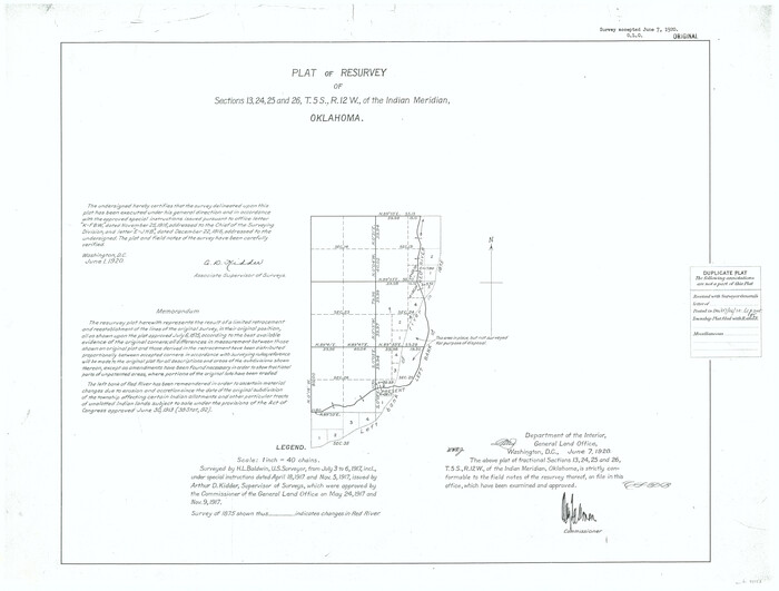

Print $4.00
- Digital $50.00
Plat of Resurvey of Sections 13, 24, 25 and 26, T. 5S., R. 12W., of the Indian Meridian, Oklahoma
1917
Size 18.3 x 24.1 inches
Map/Doc 75158
