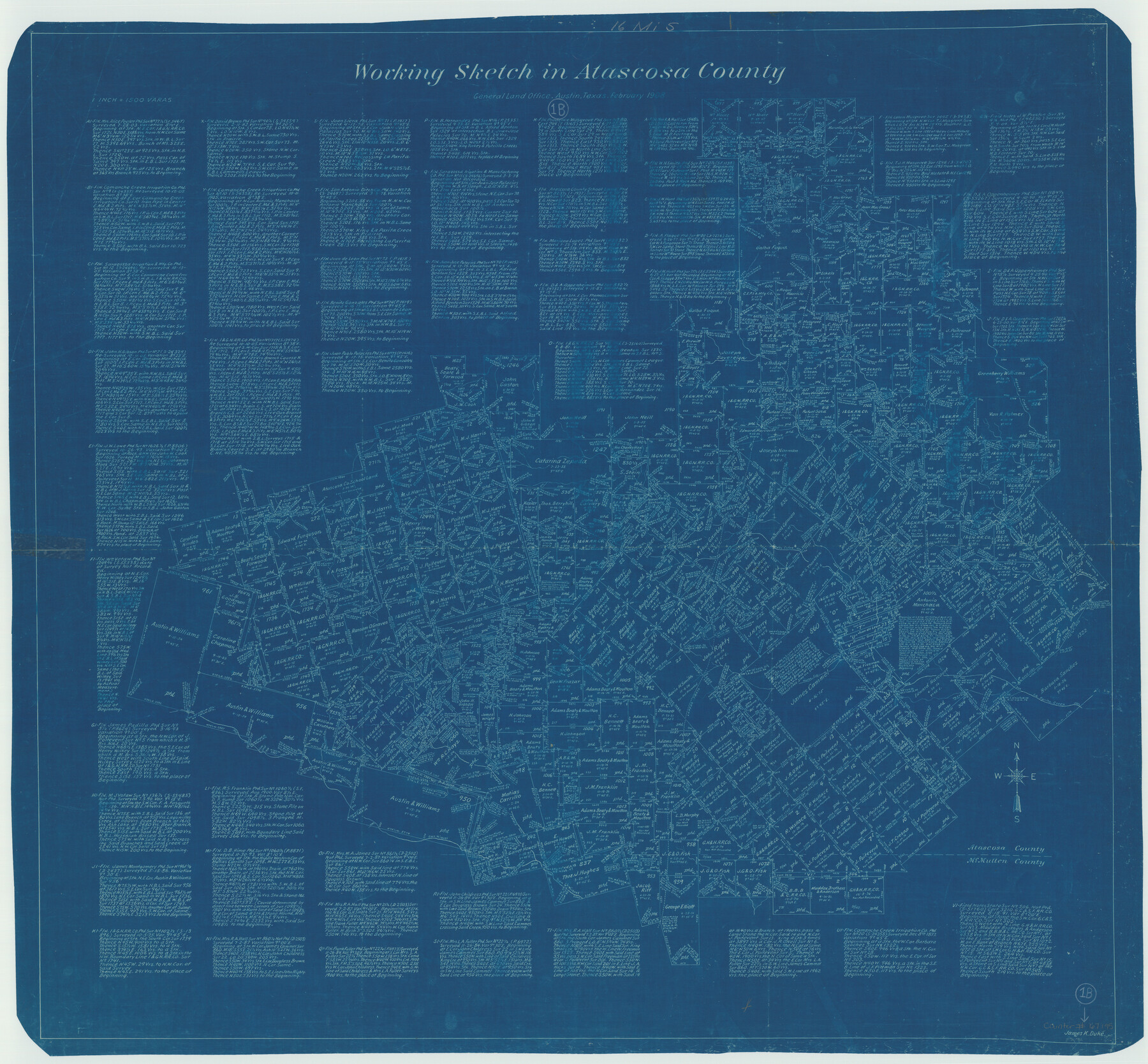
Atascosa County Working Sketch 1b
-
Map/Doc
67195
-
Collection
General Map Collection
-
Object Dates
2/1908 (Creation Date)
-
People and Organizations
James K. Duke (Draftsman)
-
Counties
Atascosa McMullen
-
Subjects
Surveying Working Sketch
-
Height x Width
36.2 x 39.0 inches
92.0 x 99.1 cm
-
Comments
Surveys located about 14 miles South 10 degrees East of Jourdanton, Texas.
Part of: General Map Collection
Limestone County Sketch File 14

Print $4.00
- Digital $50.00
Limestone County Sketch File 14
1883
Size 10.7 x 8.2 inches
Map/Doc 30179
Schleicher County Sketch File 35

Print $20.00
- Digital $50.00
Schleicher County Sketch File 35
1951
Size 13.8 x 19.4 inches
Map/Doc 12308
[Atlas B, Table of Contents]
![78269, [Atlas B, Table of Contents], General Map Collection](https://historictexasmaps.com/wmedia_w700/maps/78269.tif.jpg)
Print $3.00
- Digital $50.00
[Atlas B, Table of Contents]
Size 10.3 x 9.6 inches
Map/Doc 78269
Galveston Entrance, Texas From a Trigonometrical Survey Under the direction of A.D. Bache Superintendent of the Survey of the Coast of the United States

Print $20.00
- Digital $50.00
Galveston Entrance, Texas From a Trigonometrical Survey Under the direction of A.D. Bache Superintendent of the Survey of the Coast of the United States
1853
Size 15.9 x 19.3 inches
Map/Doc 93998
Johnson County Boundary File 1

Print $66.00
- Digital $50.00
Johnson County Boundary File 1
Size 14.1 x 8.5 inches
Map/Doc 55551
Flight Mission No. CUG-2P, Frame 87, Kleberg County

Print $20.00
- Digital $50.00
Flight Mission No. CUG-2P, Frame 87, Kleberg County
1956
Size 18.4 x 22.2 inches
Map/Doc 86219
Jones County Sketch File 15

Print $40.00
- Digital $50.00
Jones County Sketch File 15
1892
Size 13.7 x 16.3 inches
Map/Doc 28503
Atascosa County Working Sketch 38

Print $40.00
- Digital $50.00
Atascosa County Working Sketch 38
2011
Size 31.1 x 60.6 inches
Map/Doc 90031
Southern Cattle Fever

Print $20.00
- Digital $50.00
Southern Cattle Fever
1885
Size 9.2 x 13.7 inches
Map/Doc 95143
Flight Mission No. DAG-21K, Frame 129, Matagorda County

Print $20.00
- Digital $50.00
Flight Mission No. DAG-21K, Frame 129, Matagorda County
1952
Size 18.6 x 22.5 inches
Map/Doc 86455
Flight Mission No. BQR-12K, Frame 51, Brazoria County

Print $20.00
- Digital $50.00
Flight Mission No. BQR-12K, Frame 51, Brazoria County
1952
Size 18.8 x 22.4 inches
Map/Doc 84066
Jefferson County Rolled Sketch 67

Print $20.00
- Digital $50.00
Jefferson County Rolled Sketch 67
2007
Size 21.1 x 23.6 inches
Map/Doc 93426
You may also like
Limestone County Working Sketch Graphic Index

Print $20.00
- Digital $50.00
Limestone County Working Sketch Graphic Index
1971
Size 47.8 x 32.9 inches
Map/Doc 76621
Pecos County Rolled Sketch 143

Print $74.00
- Digital $50.00
Pecos County Rolled Sketch 143
1935
Size 14.8 x 9.4 inches
Map/Doc 48359
[Sketch of Fred Turner Survey 7]
![91542, [Sketch of Fred Turner Survey 7], Twichell Survey Records](https://historictexasmaps.com/wmedia_w700/maps/91542-1.tif.jpg)
Print $2.00
- Digital $50.00
[Sketch of Fred Turner Survey 7]
1928
Size 9.0 x 12.2 inches
Map/Doc 91542
Sabine Bank to East Bay including Heald Bank

Print $20.00
- Digital $50.00
Sabine Bank to East Bay including Heald Bank
1960
Size 45.1 x 34.3 inches
Map/Doc 69847
[Sketch showing Block 42, Sections 221 and 222 and Block H, Sections 7 and 9]
![91714, [Sketch showing Block 42, Sections 221 and 222 and Block H, Sections 7 and 9], Twichell Survey Records](https://historictexasmaps.com/wmedia_w700/maps/91714-1.tif.jpg)
Print $2.00
- Digital $50.00
[Sketch showing Block 42, Sections 221 and 222 and Block H, Sections 7 and 9]
1919
Size 5.6 x 5.0 inches
Map/Doc 91714
Corpus Christi Bay

Print $20.00
- Digital $50.00
Corpus Christi Bay
1961
Size 36.0 x 47.4 inches
Map/Doc 73471
Montgomery County Sketch File 6

Print $4.00
- Digital $50.00
Montgomery County Sketch File 6
Size 4.6 x 5.7 inches
Map/Doc 31781
Washington County Sketch File 4

Print $4.00
- Digital $50.00
Washington County Sketch File 4
1863
Size 12.8 x 7.8 inches
Map/Doc 39650
Dickens County Boundary File 3

Print $28.00
- Digital $50.00
Dickens County Boundary File 3
Size 14.1 x 8.8 inches
Map/Doc 52541
Ochiltree County Boundary File 5b

Print $4.00
- Digital $50.00
Ochiltree County Boundary File 5b
Size 13.7 x 8.7 inches
Map/Doc 57697
Chipman's Map of Briscoe, Hall, Motley, Cottle Counties

Print $40.00
- Digital $50.00
Chipman's Map of Briscoe, Hall, Motley, Cottle Counties
1911
Size 54.7 x 92.6 inches
Map/Doc 2051
Travis County State Real Property Sketch 10

Print $20.00
- Digital $50.00
Travis County State Real Property Sketch 10
2002
Size 35.5 x 25.2 inches
Map/Doc 83550