[Surveys South of Levi Pruitt and Jno. Welch]
-
Map/Doc
92091
-
Collection
Twichell Survey Records
-
Counties
Kaufman Van Zandt
-
Height x Width
18.2 x 6.3 inches
46.2 x 16.0 cm
Part of: Twichell Survey Records
[Sketch showing vicinity of Wm. McCutcheon League near the Bastrop-Caldwell County Line]
![90144, [Sketch showing vicinity of Wm. McCutcheon League near the Bastrop-Caldwell County Line], Twichell Survey Records](https://historictexasmaps.com/wmedia_w700/maps/90144-1.tif.jpg)
![90144, [Sketch showing vicinity of Wm. McCutcheon League near the Bastrop-Caldwell County Line], Twichell Survey Records](https://historictexasmaps.com/wmedia_w700/maps/90144-1.tif.jpg)
Print $2.00
- Digital $50.00
[Sketch showing vicinity of Wm. McCutcheon League near the Bastrop-Caldwell County Line]
1923
Size 7.7 x 12.9 inches
Map/Doc 90144
C.C. Slaughter's Running Water Ranch situated in Hale and Lamb Counties
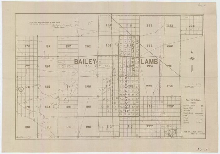

Print $20.00
- Digital $50.00
C.C. Slaughter's Running Water Ranch situated in Hale and Lamb Counties
Size 26.5 x 18.8 inches
Map/Doc 91050
Oldham School Land, Cochran County


Print $20.00
- Digital $50.00
Oldham School Land, Cochran County
Size 13.4 x 21.8 inches
Map/Doc 90302
[Townships 1 & 2, Blocks 53, 54 & 55]
![92952, [Townships 1 & 2, Blocks 53, 54 & 55], Twichell Survey Records](https://historictexasmaps.com/wmedia_w700/maps/92952-1.tif.jpg)
![92952, [Townships 1 & 2, Blocks 53, 54 & 55], Twichell Survey Records](https://historictexasmaps.com/wmedia_w700/maps/92952-1.tif.jpg)
Print $20.00
- Digital $50.00
[Townships 1 & 2, Blocks 53, 54 & 55]
Size 34.3 x 20.0 inches
Map/Doc 92952
[Sections 27 and 28, Block B-19]
![91857, [Sections 27 and 28, Block B-19], Twichell Survey Records](https://historictexasmaps.com/wmedia_w700/maps/91857-1.tif.jpg)
![91857, [Sections 27 and 28, Block B-19], Twichell Survey Records](https://historictexasmaps.com/wmedia_w700/maps/91857-1.tif.jpg)
Print $2.00
- Digital $50.00
[Sections 27 and 28, Block B-19]
Size 14.6 x 9.1 inches
Map/Doc 91857
[County School Land for Shackelford, Reeves, Hardeman, Val Verde, Hood, Martin, Rusk, Atascosa, and Edwards Counties]
![91100, [County School Land for Shackelford, Reeves, Hardeman, Val Verde, Hood, Martin, Rusk, Atascosa, and Edwards Counties], Twichell Survey Records](https://historictexasmaps.com/wmedia_w700/maps/91100-1.tif.jpg)
![91100, [County School Land for Shackelford, Reeves, Hardeman, Val Verde, Hood, Martin, Rusk, Atascosa, and Edwards Counties], Twichell Survey Records](https://historictexasmaps.com/wmedia_w700/maps/91100-1.tif.jpg)
Print $2.00
- Digital $50.00
[County School Land for Shackelford, Reeves, Hardeman, Val Verde, Hood, Martin, Rusk, Atascosa, and Edwards Counties]
Size 7.5 x 6.4 inches
Map/Doc 91100
[Sketch showing Block M-3]
![91707, [Sketch showing Block M-3], Twichell Survey Records](https://historictexasmaps.com/wmedia_w700/maps/91707-1.tif.jpg)
![91707, [Sketch showing Block M-3], Twichell Survey Records](https://historictexasmaps.com/wmedia_w700/maps/91707-1.tif.jpg)
Print $2.00
- Digital $50.00
[Sketch showing Block M-3]
Size 14.4 x 6.6 inches
Map/Doc 91707
Amarillo City Stock Yards
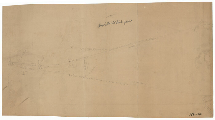

Print $20.00
- Digital $50.00
Amarillo City Stock Yards
Size 21.6 x 12.2 inches
Map/Doc 91745
[Survey 9, Block 9 Potter and Randall]
![91721, [Survey 9, Block 9 Potter and Randall], Twichell Survey Records](https://historictexasmaps.com/wmedia_w700/maps/91721-1.tif.jpg)
![91721, [Survey 9, Block 9 Potter and Randall], Twichell Survey Records](https://historictexasmaps.com/wmedia_w700/maps/91721-1.tif.jpg)
Print $20.00
- Digital $50.00
[Survey 9, Block 9 Potter and Randall]
Size 22.1 x 15.9 inches
Map/Doc 91721
[H. & T. C. Blocks 1 and 2]
![91049, [H. & T. C. Blocks 1 and 2], Twichell Survey Records](https://historictexasmaps.com/wmedia_w700/maps/91049-1.tif.jpg)
![91049, [H. & T. C. Blocks 1 and 2], Twichell Survey Records](https://historictexasmaps.com/wmedia_w700/maps/91049-1.tif.jpg)
Print $3.00
- Digital $50.00
[H. & T. C. Blocks 1 and 2]
Size 13.3 x 11.7 inches
Map/Doc 91049
Counties of Martin, Dawson, Borden, Howard, Texas, Soash Lands, Big Spring Ranch
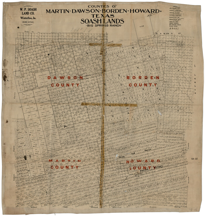

Print $20.00
- Digital $50.00
Counties of Martin, Dawson, Borden, Howard, Texas, Soash Lands, Big Spring Ranch
Size 34.7 x 36.9 inches
Map/Doc 93006
You may also like
Pecos County Sketch File 34


Print $4.00
- Digital $50.00
Pecos County Sketch File 34
Size 11.1 x 8.5 inches
Map/Doc 33714
El Paso County Working Sketch 23


Print $20.00
- Digital $50.00
El Paso County Working Sketch 23
1961
Size 22.3 x 28.8 inches
Map/Doc 69045
Gillespie County Working Sketch Graphic Index


Print $20.00
- Digital $50.00
Gillespie County Working Sketch Graphic Index
1945
Size 38.0 x 47.4 inches
Map/Doc 76553
[East Line and Red River Railroad Company, Block Z and vicinity]
![91256, [East Line and Red River Railroad Company, Block Z and vicinity], Twichell Survey Records](https://historictexasmaps.com/wmedia_w700/maps/91256-1.tif.jpg)
![91256, [East Line and Red River Railroad Company, Block Z and vicinity], Twichell Survey Records](https://historictexasmaps.com/wmedia_w700/maps/91256-1.tif.jpg)
Print $20.00
- Digital $50.00
[East Line and Red River Railroad Company, Block Z and vicinity]
1878
Size 27.8 x 22.1 inches
Map/Doc 91256
Right of Way & Track Map San Antonio & Aransas Pass Railway Co.


Print $40.00
- Digital $50.00
Right of Way & Track Map San Antonio & Aransas Pass Railway Co.
1919
Size 25.8 x 57.1 inches
Map/Doc 64027
Texas in 1835
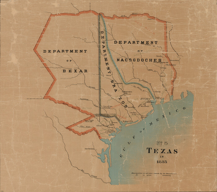

Print $20.00
- Digital $50.00
Texas in 1835
1897
Size 13.4 x 15.3 inches
Map/Doc 93414
Littlefield, being a part of League 664, Lamb County, Texas


Print $20.00
- Digital $50.00
Littlefield, being a part of League 664, Lamb County, Texas
1912
Size 30.5 x 16.9 inches
Map/Doc 92150
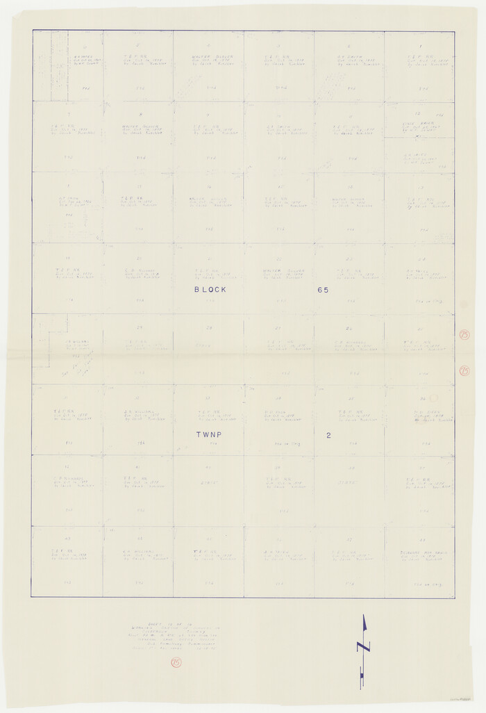
Culberson County Working Sketch 75

Print $40.00
- Digital $50.00
Culberson County Working Sketch 75
1975
Size 48.1 x 32.8 inches
Map/Doc 68529
Flight Mission No. DAG-18K, Frame 75, Matagorda County


Print $20.00
- Digital $50.00
Flight Mission No. DAG-18K, Frame 75, Matagorda County
1952
Size 18.5 x 19.1 inches
Map/Doc 86368
Andrews County Working Sketch 34


Print $20.00
- Digital $50.00
Andrews County Working Sketch 34
1990
Size 29.9 x 31.0 inches
Map/Doc 67080
[Capitol League Lands in SE corner of Lamb County and along the north line of Lamb and Bailey]
![90244, [Capitol League Lands in SE corner of Lamb County and along the north line of Lamb and Bailey], Twichell Survey Records](https://historictexasmaps.com/wmedia_w700/maps/90244-1.tif.jpg)
![90244, [Capitol League Lands in SE corner of Lamb County and along the north line of Lamb and Bailey], Twichell Survey Records](https://historictexasmaps.com/wmedia_w700/maps/90244-1.tif.jpg)
Print $20.00
- Digital $50.00
[Capitol League Lands in SE corner of Lamb County and along the north line of Lamb and Bailey]
Size 27.7 x 19.7 inches
Map/Doc 90244
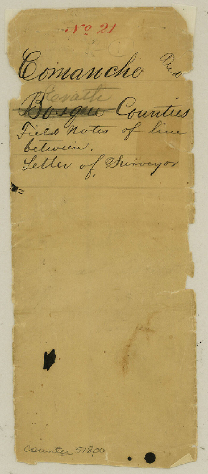
Comanche County Boundary File 21

Print $10.00
- Digital $50.00
Comanche County Boundary File 21
Size 8.3 x 3.7 inches
Map/Doc 51800
![92091, [Surveys South of Levi Pruitt and Jno. Welch], Twichell Survey Records](https://historictexasmaps.com/wmedia_w1800h1800/maps/92091-1.tif.jpg)
