[Sections 27 and 28, Block B-19]
238-7
-
Map/Doc
91857
-
Collection
Twichell Survey Records
-
Counties
Ward
-
Height x Width
14.6 x 9.1 inches
37.1 x 23.1 cm
Part of: Twichell Survey Records
Scrivener's North-west Sub-division, Wichita County, Texas


Print $20.00
- Digital $50.00
Scrivener's North-west Sub-division, Wichita County, Texas
Size 20.0 x 26.0 inches
Map/Doc 91994
[Map of Portion of Pecos County as Surveyed by F. F. Friend]
![91562, [Map of Portion of Pecos County as Surveyed by F. F. Friend], Twichell Survey Records](https://historictexasmaps.com/wmedia_w700/maps/91562-1.tif.jpg)
![91562, [Map of Portion of Pecos County as Surveyed by F. F. Friend], Twichell Survey Records](https://historictexasmaps.com/wmedia_w700/maps/91562-1.tif.jpg)
Print $3.00
- Digital $50.00
[Map of Portion of Pecos County as Surveyed by F. F. Friend]
1926
Size 17.0 x 11.4 inches
Map/Doc 91562
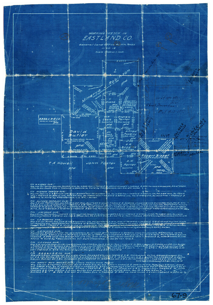
Working Sketch in Eastland Co.

Print $20.00
- Digital $50.00
Working Sketch in Eastland Co.
1918
Size 12.2 x 17.1 inches
Map/Doc 90881
[Capitol Lands in Lamb County]
![90996, [Capitol Lands in Lamb County], Twichell Survey Records](https://historictexasmaps.com/wmedia_w700/maps/90996-1.tif.jpg)
![90996, [Capitol Lands in Lamb County], Twichell Survey Records](https://historictexasmaps.com/wmedia_w700/maps/90996-1.tif.jpg)
Print $20.00
- Digital $50.00
[Capitol Lands in Lamb County]
1903
Size 31.0 x 11.8 inches
Map/Doc 90996
Sketch from Dawson, Martin and Gaines Co's. (a part of Andrews Co. added)


Print $40.00
- Digital $50.00
Sketch from Dawson, Martin and Gaines Co's. (a part of Andrews Co. added)
1900
Size 45.0 x 50.6 inches
Map/Doc 89781
[Block XR, Capitol Leagues 161, 162, 164, 174, 178, 179, and 180]
![90661, [Block XR, Capitol Leagues 161, 162, 164, 174, 178, 179, and 180], Twichell Survey Records](https://historictexasmaps.com/wmedia_w700/maps/90661-1.tif.jpg)
![90661, [Block XR, Capitol Leagues 161, 162, 164, 174, 178, 179, and 180], Twichell Survey Records](https://historictexasmaps.com/wmedia_w700/maps/90661-1.tif.jpg)
Print $20.00
- Digital $50.00
[Block XR, Capitol Leagues 161, 162, 164, 174, 178, 179, and 180]
1908
Size 12.3 x 21.1 inches
Map/Doc 90661
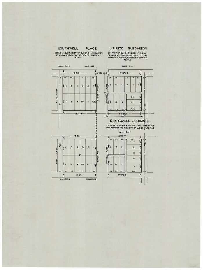
Southwell Place and J. F. Rice Subdivision

Print $20.00
- Digital $50.00
Southwell Place and J. F. Rice Subdivision
1926
Size 19.1 x 24.8 inches
Map/Doc 92745
[Southeast part of County]
![89956, [Southeast part of County], Twichell Survey Records](https://historictexasmaps.com/wmedia_w700/maps/89956-2.tif.jpg)
![89956, [Southeast part of County], Twichell Survey Records](https://historictexasmaps.com/wmedia_w700/maps/89956-2.tif.jpg)
Print $40.00
- Digital $50.00
[Southeast part of County]
Size 37.1 x 48.2 inches
Map/Doc 89956
Jno. W. Pritchett Preliminary Official LO Map for Lubbock [County]
![89901, Jno. W. Pritchett Preliminary Official LO Map for Lubbock [County], Twichell Survey Records](https://historictexasmaps.com/wmedia_w700/maps/89901-1.tif.jpg)
![89901, Jno. W. Pritchett Preliminary Official LO Map for Lubbock [County], Twichell Survey Records](https://historictexasmaps.com/wmedia_w700/maps/89901-1.tif.jpg)
Print $20.00
- Digital $50.00
Jno. W. Pritchett Preliminary Official LO Map for Lubbock [County]
Size 41.1 x 40.3 inches
Map/Doc 89901
[Sketch of surveys around W.T. Brewer]
![89926, [Sketch of surveys around W.T. Brewer], Twichell Survey Records](https://historictexasmaps.com/wmedia_w700/maps/89926-1.tif.jpg)
![89926, [Sketch of surveys around W.T. Brewer], Twichell Survey Records](https://historictexasmaps.com/wmedia_w700/maps/89926-1.tif.jpg)
Print $40.00
- Digital $50.00
[Sketch of surveys around W.T. Brewer]
Size 37.0 x 48.7 inches
Map/Doc 89926
[Plat map showing mostly Overton Addition]
![92825, [Plat map showing mostly Overton Addition], Twichell Survey Records](https://historictexasmaps.com/wmedia_w700/maps/92825-1.tif.jpg)
![92825, [Plat map showing mostly Overton Addition], Twichell Survey Records](https://historictexasmaps.com/wmedia_w700/maps/92825-1.tif.jpg)
Print $20.00
- Digital $50.00
[Plat map showing mostly Overton Addition]
Size 31.7 x 31.4 inches
Map/Doc 92825
[Public School Land Blocks]
![93151, [Public School Land Blocks], Twichell Survey Records](https://historictexasmaps.com/wmedia_w700/maps/93151-1.tif.jpg)
![93151, [Public School Land Blocks], Twichell Survey Records](https://historictexasmaps.com/wmedia_w700/maps/93151-1.tif.jpg)
Print $40.00
- Digital $50.00
[Public School Land Blocks]
Size 45.0 x 114.7 inches
Map/Doc 93151
You may also like
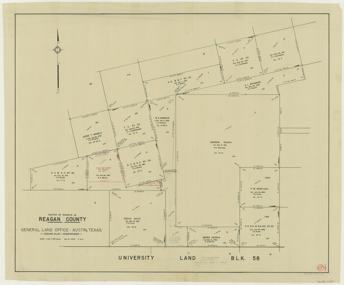
Reagan County Working Sketch 15

Print $20.00
- Digital $50.00
Reagan County Working Sketch 15
1949
Size 27.3 x 33.0 inches
Map/Doc 71857
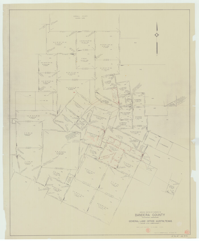
Bandera County Working Sketch 19

Print $20.00
- Digital $50.00
Bandera County Working Sketch 19
1946
Size 43.3 x 35.8 inches
Map/Doc 67615
Hutchinson County Working Sketch 9


Print $20.00
- Digital $50.00
Hutchinson County Working Sketch 9
1920
Size 38.5 x 43.3 inches
Map/Doc 66367
Crane County Working Sketch 5
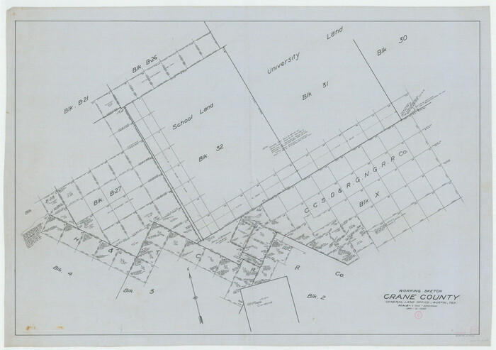

Print $40.00
- Digital $50.00
Crane County Working Sketch 5
1928
Size 34.5 x 49.0 inches
Map/Doc 68282
[Throckmorton County]
![89875, [Throckmorton County], Twichell Survey Records](https://historictexasmaps.com/wmedia_w700/maps/89875-1.tif.jpg)
![89875, [Throckmorton County], Twichell Survey Records](https://historictexasmaps.com/wmedia_w700/maps/89875-1.tif.jpg)
Print $20.00
- Digital $50.00
[Throckmorton County]
Size 39.7 x 40.0 inches
Map/Doc 89875
Guadalupe County
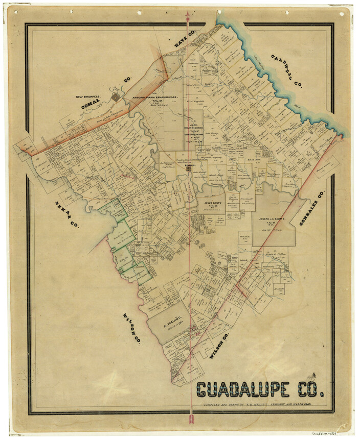

Print $20.00
- Digital $50.00
Guadalupe County
1869
Size 27.7 x 22.3 inches
Map/Doc 3607
Galveston County Sketch File 43


Print $40.00
- Digital $50.00
Galveston County Sketch File 43
1915
Size 19.4 x 15.1 inches
Map/Doc 11539
[Map Showing Surveys in Dimmit & La Salle Counties, Texas]
![75791, [Map Showing Surveys in Dimmit & La Salle Counties, Texas], Maddox Collection](https://historictexasmaps.com/wmedia_w700/maps/75791.tif.jpg)
![75791, [Map Showing Surveys in Dimmit & La Salle Counties, Texas], Maddox Collection](https://historictexasmaps.com/wmedia_w700/maps/75791.tif.jpg)
Print $20.00
- Digital $50.00
[Map Showing Surveys in Dimmit & La Salle Counties, Texas]
Size 29.5 x 29.5 inches
Map/Doc 75791
Harris County NRC Article 33.136 Sketch 20
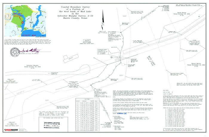

Print $22.00
- Digital $50.00
Harris County NRC Article 33.136 Sketch 20
2022
Map/Doc 96896
Limestone County Working Sketch 24
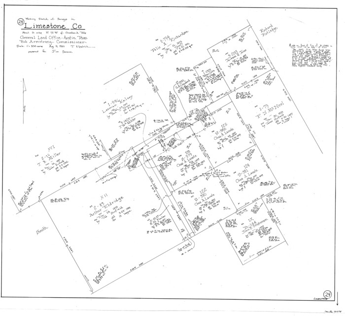

Print $20.00
- Digital $50.00
Limestone County Working Sketch 24
1980
Size 28.9 x 31.6 inches
Map/Doc 70574
Presidio County Rolled Sketch 91
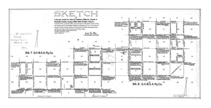

Print $20.00
- Digital $50.00
Presidio County Rolled Sketch 91
Size 15.1 x 29.4 inches
Map/Doc 7376
Edwards County Working Sketch 72


Print $20.00
- Digital $50.00
Edwards County Working Sketch 72
1957
Size 21.0 x 22.1 inches
Map/Doc 68948
![91857, [Sections 27 and 28, Block B-19], Twichell Survey Records](https://historictexasmaps.com/wmedia_w1800h1800/maps/91857-1.tif.jpg)