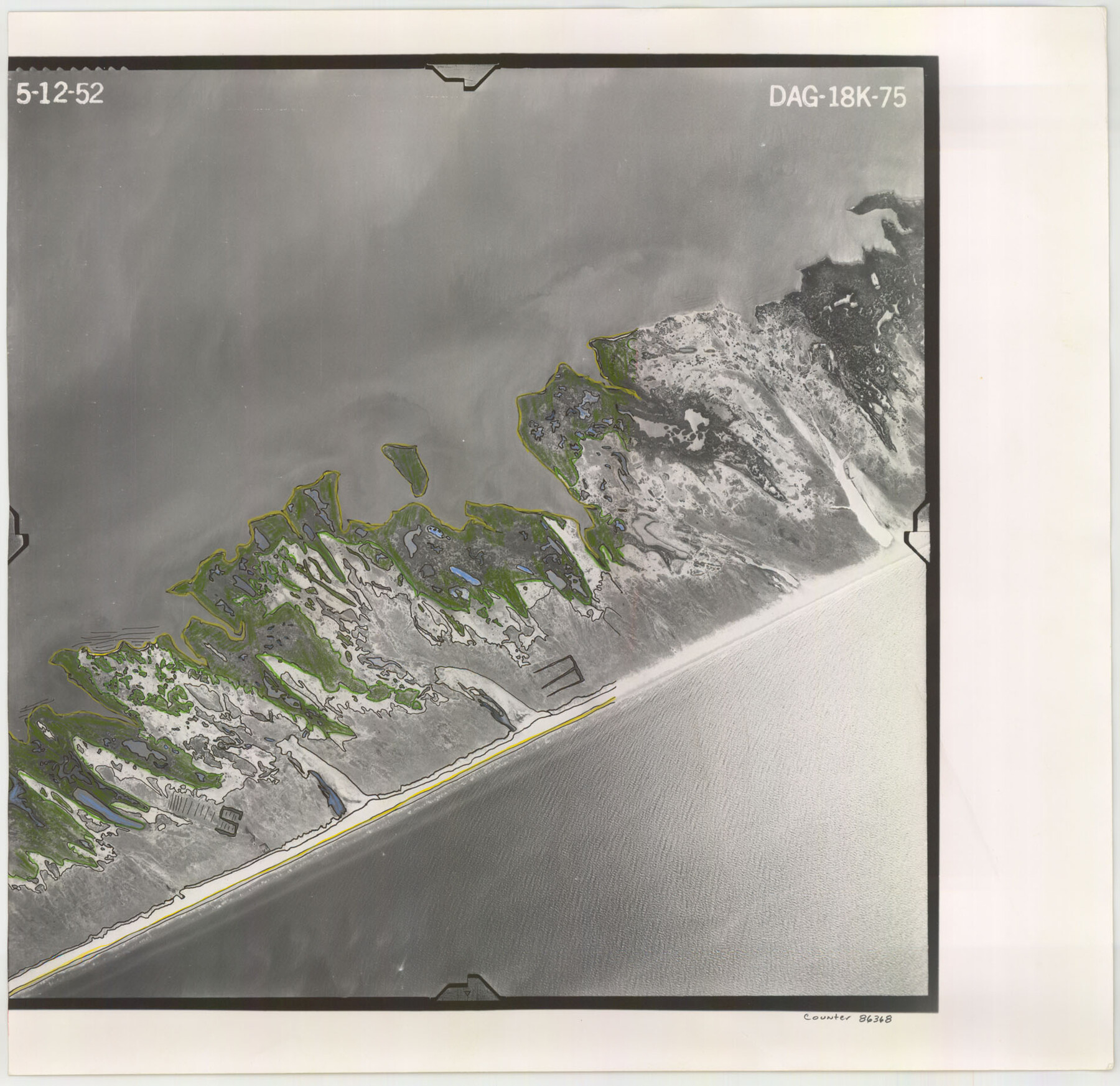
Flight Mission No. DAG-18K, Frame 75, Matagorda County
DAG-18K-75
-
Map/Doc
86368
-
Collection
General Map Collection
-
Object Dates
1952/5/12 (Creation Date)
-
People and Organizations
U. S. Department of Agriculture (Publisher)
-
Counties
Matagorda
-
Subjects
Aerial Photograph
-
Height x Width
18.5 x 19.1 inches
47.0 x 48.5 cm
-
Comments
Flown by Aero Exploration Company of Tulsa, Oklahoma.
Part of: General Map Collection
[Sketch for Mineral Application 26546 - Sabine River between Hawkins Creek and east boundary line of BBB&C RR Co. Surveys, R. S. Rathke]
![65665, [Sketch for Mineral Application 26546 - Sabine River between Hawkins Creek and east boundary line of BBB&C RR Co. Surveys, R. S. Rathke], General Map Collection](https://historictexasmaps.com/wmedia_w700/maps/65665.tif.jpg)
Print $40.00
- Digital $50.00
[Sketch for Mineral Application 26546 - Sabine River between Hawkins Creek and east boundary line of BBB&C RR Co. Surveys, R. S. Rathke]
1931
Size 25.5 x 75.1 inches
Map/Doc 65665
Val Verde County Rolled Sketch 67

Print $20.00
- Digital $50.00
Val Verde County Rolled Sketch 67
1958
Size 24.5 x 31.6 inches
Map/Doc 8130
Val Verde County

Print $20.00
- Digital $50.00
Val Verde County
1944
Size 40.0 x 36.2 inches
Map/Doc 77445
Brewster County Working Sketch 82

Print $20.00
- Digital $50.00
Brewster County Working Sketch 82
1973
Size 45.3 x 36.6 inches
Map/Doc 67682
Flight Mission No. CGI-3N, Frame 178, Cameron County

Print $20.00
- Digital $50.00
Flight Mission No. CGI-3N, Frame 178, Cameron County
1954
Size 18.5 x 22.2 inches
Map/Doc 84642
Panola County Working Sketch 40

Print $20.00
- Digital $50.00
Panola County Working Sketch 40
1995
Map/Doc 71449
Armstrong County Rolled Sketch OS

Print $20.00
- Digital $50.00
Armstrong County Rolled Sketch OS
1902
Size 17.5 x 32.4 inches
Map/Doc 5086
Bandera County Working Sketch 25

Print $20.00
- Digital $50.00
Bandera County Working Sketch 25
1950
Size 30.4 x 38.5 inches
Map/Doc 67621
McMullen County Rolled Sketch JR

Print $20.00
- Digital $50.00
McMullen County Rolled Sketch JR
Size 29.6 x 29.6 inches
Map/Doc 6737
Hudspeth County Sketch File 33

Print $6.00
- Digital $50.00
Hudspeth County Sketch File 33
1952
Size 11.3 x 8.8 inches
Map/Doc 26994
Menard County Sketch File 31

Print $4.00
- Digital $50.00
Menard County Sketch File 31
1978
Size 14.2 x 8.7 inches
Map/Doc 31573
Wharton County Sketch File A4

Print $11.00
- Digital $50.00
Wharton County Sketch File A4
1904
Size 11.0 x 8.4 inches
Map/Doc 39981
You may also like
Flight Mission No. DAG-24K, Frame 132, Matagorda County

Print $20.00
- Digital $50.00
Flight Mission No. DAG-24K, Frame 132, Matagorda County
1953
Size 15.8 x 15.8 inches
Map/Doc 86550
Wichita County Sketch File 28

Print $22.00
- Digital $50.00
Wichita County Sketch File 28
1929
Size 12.5 x 17.0 inches
Map/Doc 40130
Houston County Sketch File 7

Print $6.00
- Digital $50.00
Houston County Sketch File 7
1861
Size 12.0 x 11.1 inches
Map/Doc 26764
Map of the Hearne and Brazos Valley Railroad from Mumford to Moseley's Ferry

Print $40.00
- Digital $50.00
Map of the Hearne and Brazos Valley Railroad from Mumford to Moseley's Ferry
1892
Size 20.0 x 56.8 inches
Map/Doc 64400
United States - Gulf Coast - From Latitude 26° 33' to the Rio Grande Texas

Print $20.00
- Digital $50.00
United States - Gulf Coast - From Latitude 26° 33' to the Rio Grande Texas
1918
Size 27.1 x 18.4 inches
Map/Doc 72852
Greater Austin, Texas Streetmap

Greater Austin, Texas Streetmap
Size 45.8 x 36.2 inches
Map/Doc 94431
Rusk County Sketch File 13

Print $4.00
Rusk County Sketch File 13
Size 8.6 x 6.4 inches
Map/Doc 35514
Polk County Working Sketch 19

Print $20.00
- Digital $50.00
Polk County Working Sketch 19
1950
Size 34.0 x 26.5 inches
Map/Doc 71634
Crockett County Working Sketch 2

Print $20.00
- Digital $50.00
Crockett County Working Sketch 2
Size 18.4 x 14.9 inches
Map/Doc 68335
G. C. & S. F. Ry., San Saba Branch, Right of Way Map, Brady to Melvin

Print $20.00
- Digital $50.00
G. C. & S. F. Ry., San Saba Branch, Right of Way Map, Brady to Melvin
1916
Size 36.9 x 23.0 inches
Map/Doc 61422
Crane County Working Sketch 28

Print $40.00
- Digital $50.00
Crane County Working Sketch 28
1972
Size 49.4 x 49.1 inches
Map/Doc 68305
Gonzales County Sketch File 6

Print $4.00
- Digital $50.00
Gonzales County Sketch File 6
1880
Size 10.2 x 8.7 inches
Map/Doc 24385