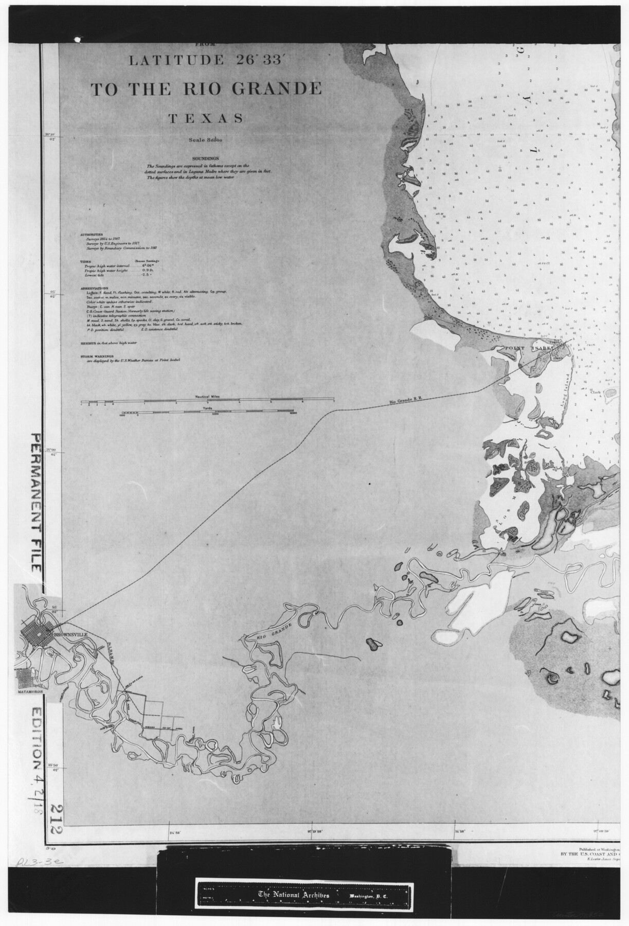
United States - Gulf Coast - From Latitude 26° 33' to the Rio Grande Texas
RL-3-3e
-
Map/Doc
72852
-
Collection
General Map Collection
-
Object Dates
1918 (Creation Date)
-
People and Organizations
U. S. Coastal and Geodetic Survey (Publisher)
-
Subjects
Nautical Charts
-
Height x Width
27.1 x 18.4 inches
68.8 x 46.7 cm
-
Comments
B/W photostat copy from National Archives in multiple pieces.
Part of: General Map Collection
Sutton County Sketch File 27B

Print $20.00
- Digital $50.00
Sutton County Sketch File 27B
Size 19.1 x 14.6 inches
Map/Doc 12384
Map of Ferguson State Farm, Madison County, Texas

Print $20.00
- Digital $50.00
Map of Ferguson State Farm, Madison County, Texas
Size 21.6 x 26.1 inches
Map/Doc 62989
Jeff Davis County Rolled Sketch 13

Print $73.00
- Digital $50.00
Jeff Davis County Rolled Sketch 13
1921
Size 20.0 x 23.3 inches
Map/Doc 6366
Houston County Working Sketch 18

Print $20.00
- Digital $50.00
Houston County Working Sketch 18
Size 18.8 x 22.5 inches
Map/Doc 66248
Brazos River, Ball Hill Sheet/Big Creek

Print $6.00
- Digital $50.00
Brazos River, Ball Hill Sheet/Big Creek
1926
Size 34.3 x 30.0 inches
Map/Doc 65281
Texas, Brazos River, Freeport

Print $40.00
- Digital $50.00
Texas, Brazos River, Freeport
1933
Size 28.4 x 48.3 inches
Map/Doc 69994
El Paso County Boundary File 27

Print $2.00
- Digital $50.00
El Paso County Boundary File 27
Size 7.3 x 5.6 inches
Map/Doc 53236
Terrell County Sketch File 26

Print $38.00
- Digital $50.00
Terrell County Sketch File 26
1937
Size 10.9 x 8.2 inches
Map/Doc 37961
Walker County Working Sketch 19

Print $3.00
- Digital $50.00
Walker County Working Sketch 19
Size 9.3 x 16.1 inches
Map/Doc 72299
Milam County Sketch File 8

Print $20.00
- Digital $50.00
Milam County Sketch File 8
1856
Size 16.8 x 33.7 inches
Map/Doc 12091
Flight Mission No. CRK-3P, Frame 66, Refugio County

Print $20.00
- Digital $50.00
Flight Mission No. CRK-3P, Frame 66, Refugio County
1956
Size 18.6 x 22.4 inches
Map/Doc 86908
Ward County Rolled Sketch 4

Print $20.00
- Digital $50.00
Ward County Rolled Sketch 4
Size 39.3 x 47.2 inches
Map/Doc 10102
You may also like
Map of the City of Aransas Pass

Print $20.00
- Digital $50.00
Map of the City of Aransas Pass
1905
Size 28.3 x 21.4 inches
Map/Doc 97266
Sutton County Working Sketch 38

Print $20.00
- Digital $50.00
Sutton County Working Sketch 38
1942
Size 35.2 x 26.1 inches
Map/Doc 62381
Polk County Rolled Sketch 23

Print $20.00
- Digital $50.00
Polk County Rolled Sketch 23
Size 29.1 x 23.5 inches
Map/Doc 7313
Comanche County Working Sketch 9

Print $20.00
- Digital $50.00
Comanche County Working Sketch 9
1954
Size 18.6 x 21.5 inches
Map/Doc 68143

Austin County Sketch File 15

Print $12.00
- Digital $50.00
Austin County Sketch File 15
Size 9.5 x 8.2 inches
Map/Doc 13882
Kinney County Sketch File 38

Print $8.00
- Digital $50.00
Kinney County Sketch File 38
1882
Size 14.3 x 8.7 inches
Map/Doc 29188
Baylor County Sketch File A7

Print $6.00
- Digital $50.00
Baylor County Sketch File A7
1899
Size 9.1 x 14.6 inches
Map/Doc 14091
Potter County Boundary File 6

Print $24.00
- Digital $50.00
Potter County Boundary File 6
Size 14.8 x 9.2 inches
Map/Doc 58027
Karnes County Sketch File 13

Print $8.00
- Digital $50.00
Karnes County Sketch File 13
1897
Size 9.7 x 6.3 inches
Map/Doc 28611
Presidio County Rolled Sketch 90

Print $20.00
- Digital $50.00
Presidio County Rolled Sketch 90
1947
Size 20.5 x 24.4 inches
Map/Doc 7375
Flight Mission No. DIX-6P, Frame 117, Aransas County

Print $20.00
- Digital $50.00
Flight Mission No. DIX-6P, Frame 117, Aransas County
1956
Size 19.2 x 22.8 inches
Map/Doc 83823