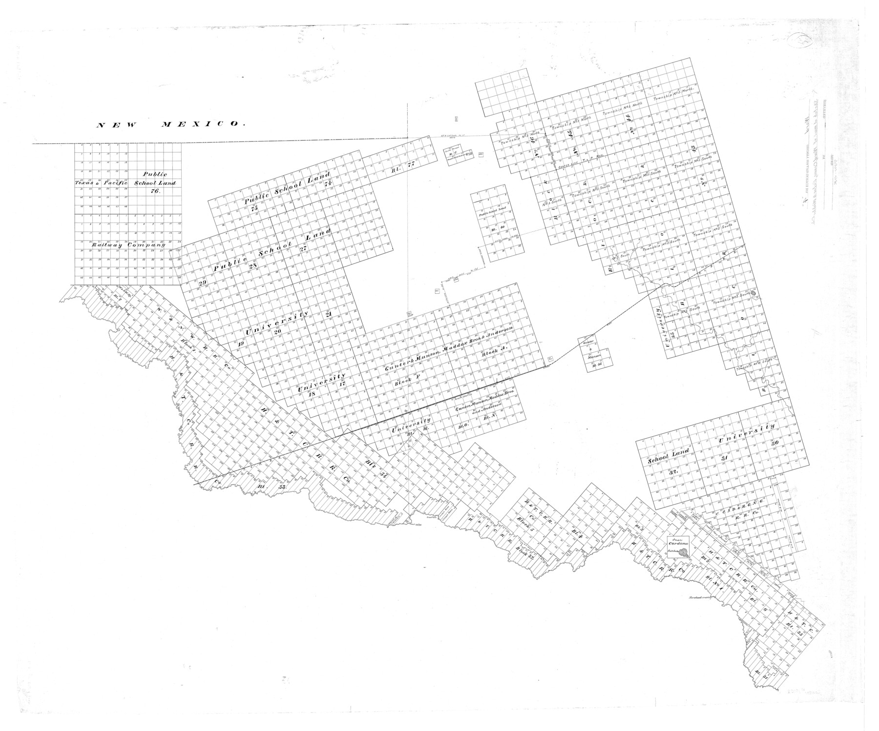
Ward County Rolled Sketch 4
[Sketch of much of Ward, Crane, Loving, Ector, and Winkler Counties]
-
Map/Doc
10102
-
Collection
General Map Collection
-
Counties
Ward Crane Loving Ector Winkler
-
Subjects
Surveying Rolled Sketch
-
Height x Width
39.3 x 47.2 inches
99.8 x 119.9 cm
Part of: General Map Collection
San Jacinto County Working Sketch 38

Print $40.00
- Digital $50.00
San Jacinto County Working Sketch 38
1966
Size 41.5 x 55.9 inches
Map/Doc 63751
Flight Mission No. DIX-10P, Frame 182, Aransas County

Print $20.00
- Digital $50.00
Flight Mission No. DIX-10P, Frame 182, Aransas County
1956
Size 18.6 x 22.3 inches
Map/Doc 83972
Travis County Sketch File 59

Print $28.00
- Digital $50.00
Travis County Sketch File 59
Size 14.4 x 9.0 inches
Map/Doc 38413
Culberson County Rolled Sketch 39

Print $20.00
- Digital $50.00
Culberson County Rolled Sketch 39
Size 20.5 x 28.7 inches
Map/Doc 78465
Shelby County Working Sketch 20

Print $20.00
- Digital $50.00
Shelby County Working Sketch 20
1970
Size 28.0 x 22.8 inches
Map/Doc 63873
A General Map of the Middle British Colonies, in America. containing Virginia, Maryland, the Delaware Counties, Pennsylvania and New Jersey. With the addition of New York and of the Greatest Part of New England

Print $20.00
- Digital $50.00
A General Map of the Middle British Colonies, in America. containing Virginia, Maryland, the Delaware Counties, Pennsylvania and New Jersey. With the addition of New York and of the Greatest Part of New England
1776
Size 21.6 x 27.2 inches
Map/Doc 97402
Flight Mission No. CRC-2R, Frame 5, Chambers County

Print $20.00
- Digital $50.00
Flight Mission No. CRC-2R, Frame 5, Chambers County
1956
Size 18.7 x 22.4 inches
Map/Doc 84724
Flight Mission No. DQO-2K, Frame 87, Galveston County

Print $20.00
- Digital $50.00
Flight Mission No. DQO-2K, Frame 87, Galveston County
1952
Size 18.7 x 22.5 inches
Map/Doc 85014
Garza County Boundary File 2a

Print $8.00
- Digital $50.00
Garza County Boundary File 2a
Size 14.4 x 8.9 inches
Map/Doc 53675
Reeves County Working Sketch 54

Print $20.00
- Digital $50.00
Reeves County Working Sketch 54
1978
Size 36.9 x 35.6 inches
Map/Doc 63497

Garza County Sketch File 5a

Print $20.00
- Digital $50.00
Garza County Sketch File 5a
1895
Size 20.7 x 38.2 inches
Map/Doc 10463
You may also like
Crockett County Working Sketch 94

Print $20.00
- Digital $50.00
Crockett County Working Sketch 94
1979
Size 43.1 x 28.7 inches
Map/Doc 68427
San Patricio County Rolled Sketch 29B

Print $20.00
- Digital $50.00
San Patricio County Rolled Sketch 29B
1936
Size 25.8 x 31.0 inches
Map/Doc 7582
Nueces County Rolled Sketch 43A

Print $20.00
- Digital $50.00
Nueces County Rolled Sketch 43A
Size 24.0 x 35.4 inches
Map/Doc 6884
Lavaca County Sketch File 7

Print $4.00
- Digital $50.00
Lavaca County Sketch File 7
1873
Size 7.9 x 9.8 inches
Map/Doc 29642
Map of Trinity Co.

Print $20.00
- Digital $50.00
Map of Trinity Co.
1896
Size 40.7 x 39.1 inches
Map/Doc 63079
Coleman County Working Sketch 24

Print $40.00
- Digital $50.00
Coleman County Working Sketch 24
1989
Size 43.1 x 54.3 inches
Map/Doc 68277
Brown County Working Sketch Graphic Index

Print $20.00
- Digital $50.00
Brown County Working Sketch Graphic Index
1944
Size 47.6 x 37.1 inches
Map/Doc 76480
New Map of Greater San Antonio

Print $20.00
- Digital $50.00
New Map of Greater San Antonio
1941
Size 24.5 x 19.7 inches
Map/Doc 95954
Morris County Rolled Sketch 2A

Print $20.00
- Digital $50.00
Morris County Rolled Sketch 2A
Size 24.0 x 18.7 inches
Map/Doc 10272
General Highway Map, Haskell County, Texas

Print $20.00
General Highway Map, Haskell County, Texas
1940
Size 18.5 x 24.8 inches
Map/Doc 79122
Lamar County Working Sketch 3

Print $20.00
- Digital $50.00
Lamar County Working Sketch 3
1919
Size 26.2 x 24.5 inches
Map/Doc 70264
Morris County Rolled Sketch 2A

Print $20.00
- Digital $50.00
Morris County Rolled Sketch 2A
Size 24.0 x 18.8 inches
Map/Doc 10274