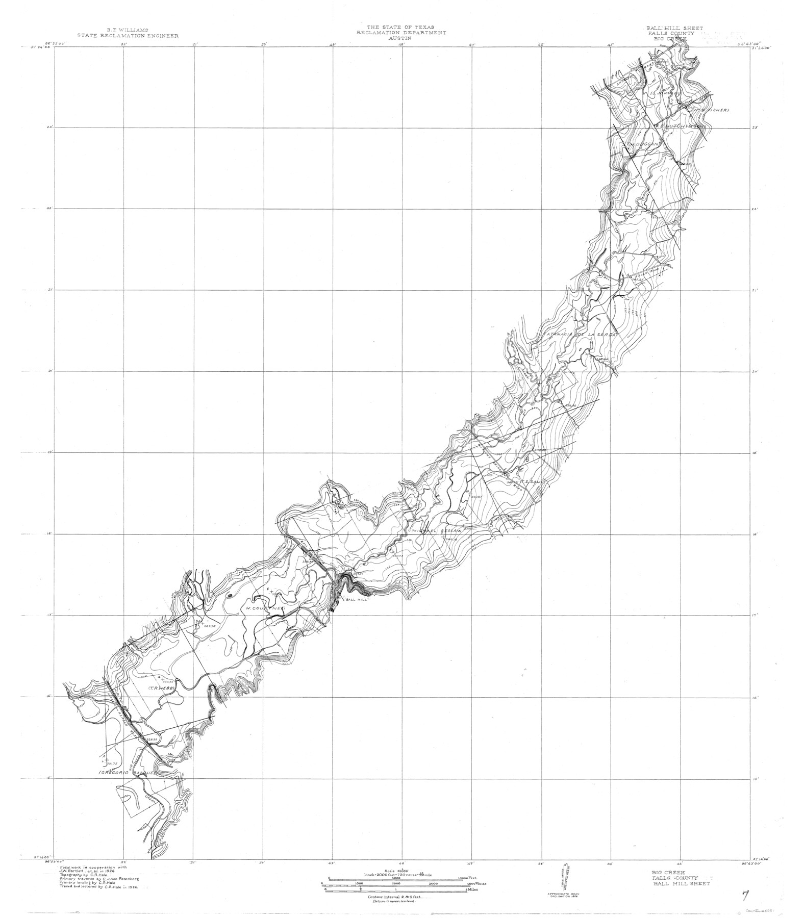
Brazos River, Ball Hill Sheet/Big Creek
-
Map/Doc
65281
-
Collection
General Map Collection
-
Object Dates
1926 (Creation Date)
-
People and Organizations
Texas State Reclamation Department (Publisher)
C.R. Hale (Compiler)
C.R. Hale (Draftsman)
E.J. von Rosenberg (Surveyor/Engineer)
C.R. Hale (Surveyor/Engineer)
J.W. Barlett (Surveyor/Engineer)
-
Counties
Falls
-
Subjects
River Surveys Topographic
-
Height x Width
34.3 x 30.0 inches
87.1 x 76.2 cm
Part of: General Map Collection
Wise County Sketch File 31

Print $12.00
- Digital $50.00
Wise County Sketch File 31
1877
Size 13.1 x 8.1 inches
Map/Doc 40582
Coryell County Sketch File 18

Print $2.00
- Digital $50.00
Coryell County Sketch File 18
Size 15.3 x 8.0 inches
Map/Doc 19379
Angelina County Working Sketch 14

Print $20.00
- Digital $50.00
Angelina County Working Sketch 14
1935
Size 29.6 x 34.9 inches
Map/Doc 67095
San Augustine County Working Sketch 14

Print $20.00
- Digital $50.00
San Augustine County Working Sketch 14
1958
Size 22.7 x 26.1 inches
Map/Doc 63702
Harris County Historic Topographic 7

Print $20.00
- Digital $50.00
Harris County Historic Topographic 7
1916
Size 20.4 x 23.4 inches
Map/Doc 65817
Kimble County Sketch File 12

Print $5.00
- Digital $50.00
Kimble County Sketch File 12
Size 10.7 x 10.5 inches
Map/Doc 28935
Military Reconnaissance [showing forts along Rio Grande near Matamoros]
![72910, Military Reconnaissance [showing forts along Rio Grande near Matamoros], General Map Collection](https://historictexasmaps.com/wmedia_w700/maps/72910.tif.jpg)
Print $20.00
- Digital $50.00
Military Reconnaissance [showing forts along Rio Grande near Matamoros]
1846
Size 18.4 x 26.7 inches
Map/Doc 72910
Jasper County Sketch File 8 and 9

Print $80.00
- Digital $50.00
Jasper County Sketch File 8 and 9
Size 8.2 x 6.9 inches
Map/Doc 27777
Crockett County Rolled Sketch P1

Print $82.00
- Digital $50.00
Crockett County Rolled Sketch P1
1927
Size 10.3 x 15.9 inches
Map/Doc 44220
Robertson County Sketch File 6

Print $4.00
Robertson County Sketch File 6
1870
Size 8.9 x 7.6 inches
Map/Doc 35362
Hudspeth County Rolled Sketch 69

Print $20.00
- Digital $50.00
Hudspeth County Rolled Sketch 69
1973
Size 12.3 x 19.8 inches
Map/Doc 7719
Flight Mission No. CRC-4R, Frame 150, Chambers County

Print $20.00
- Digital $50.00
Flight Mission No. CRC-4R, Frame 150, Chambers County
1956
Size 18.6 x 22.4 inches
Map/Doc 84913
You may also like
Flight Mission No. BQR-20K, Frame 15, Brazoria County

Print $20.00
- Digital $50.00
Flight Mission No. BQR-20K, Frame 15, Brazoria County
1952
Size 18.6 x 22.3 inches
Map/Doc 84117
Crockett County Working Sketch 20

Print $20.00
- Digital $50.00
Crockett County Working Sketch 20
1920
Size 43.7 x 27.6 inches
Map/Doc 68353
Sutton County Rolled Sketch 35

Print $20.00
- Digital $50.00
Sutton County Rolled Sketch 35
1886
Size 30.3 x 28.4 inches
Map/Doc 7879
Coke County Working Sketch 15

Print $20.00
- Digital $50.00
Coke County Working Sketch 15
1948
Size 25.7 x 21.7 inches
Map/Doc 68052
![4828, [San Diego], General Map Collection](https://historictexasmaps.com/wmedia_w700/maps/4828-1.tif.jpg)
Colorado County Working Sketch 10

Print $20.00
- Digital $50.00
Colorado County Working Sketch 10
1940
Size 23.2 x 24.4 inches
Map/Doc 68110
Red River County Rolled Sketch 9

Print $20.00
- Digital $50.00
Red River County Rolled Sketch 9
Size 27.1 x 18.1 inches
Map/Doc 7475
Flight Mission No. CUG-2P, Frame 12, Kleberg County

Print $20.00
- Digital $50.00
Flight Mission No. CUG-2P, Frame 12, Kleberg County
1956
Size 18.6 x 22.1 inches
Map/Doc 86184
Hemphill County Rolled Sketch 11

Print $20.00
- Digital $50.00
Hemphill County Rolled Sketch 11
1941
Size 45.1 x 21.8 inches
Map/Doc 9153
Right-of-Way and Track Map, Texas State Railroad operated by the T. and N. O. R.R. Co.

Print $40.00
- Digital $50.00
Right-of-Way and Track Map, Texas State Railroad operated by the T. and N. O. R.R. Co.
1917
Size 24.4 x 55.8 inches
Map/Doc 64174
[Sketch of F.R. Lehmann surveys on the Rio Grande]
![554, [Sketch of F.R. Lehmann surveys on the Rio Grande], Maddox Collection](https://historictexasmaps.com/wmedia_w700/maps/554.tif.jpg)
Print $20.00
- Digital $50.00
[Sketch of F.R. Lehmann surveys on the Rio Grande]
Size 14.7 x 16.8 inches
Map/Doc 554
San Jacinto County Working Sketch 7

Print $20.00
- Digital $50.00
San Jacinto County Working Sketch 7
1935
Size 32.0 x 41.4 inches
Map/Doc 63720