[San Diego]
A-6-60
K-7-6
-
Map/Doc
4828
-
Collection
General Map Collection
-
Object Dates
1928 (Creation Date)
-
People and Organizations
The Marston Company (Publisher)
-
Subjects
City
-
Height x Width
23.1 x 18.4 inches
58.7 x 46.7 cm
-
Medium
photostat, negative
-
Comments
Souvenir map of San Diego produced for the "Golden Anniversary". Features many animated vignettes showcasing moments in San Diego history. Available for research only---copyrighted and unavailable for duplication.
-
Features
National City
Morena
Old Town
San Diego River
Mount Helix
Lake Chollas
Pacific Ocean
Old Spanish Lighthouse
Fort Rosencrans
Point Loma Lighthouse
Coronado Island
Balboa Park
Chula Vista
Otay
Tijuana
Union Station
San Diego and Arizona Railroad
Pacific Beach
Bird Rock
Morena
La Mesa Reservoir
Presidio Hill
Crown Point
U.S. Marine Base
Aviation Field
Naval Training Station
Fishing Village
Fort Stockton on Presidio Hill
Sweetwater Reservoir
Destroyer Base
Mar Pacifico
The Old Horton House
Inland Route
San Diego
Soledad Mountain
La Jolla
El Camino Real
Camp Kearny
Mission Bay
Mission San Diego de Alcala
Mission Beach
Puerto de San Diego
Part of: General Map Collection
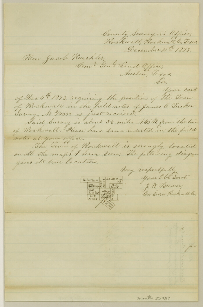
Rockwall County Sketch File 7

Print $4.00
Rockwall County Sketch File 7
1873
Size 12.6 x 8.3 inches
Map/Doc 35427
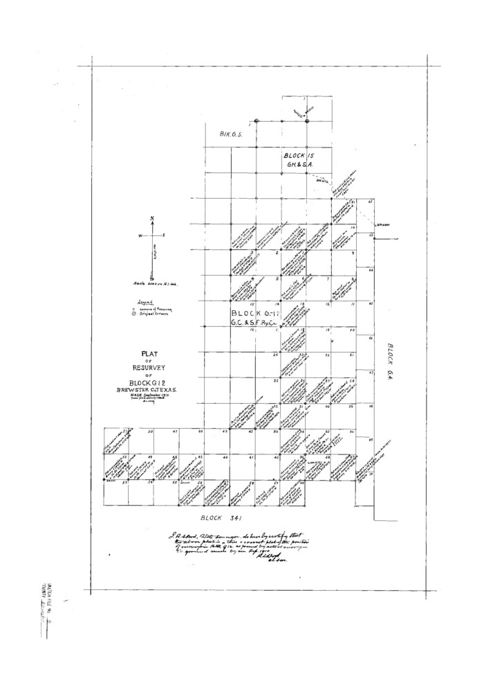
Brewster County Sketch File B

Print $40.00
- Digital $50.00
Brewster County Sketch File B
1910
Size 25.5 x 18.3 inches
Map/Doc 10975
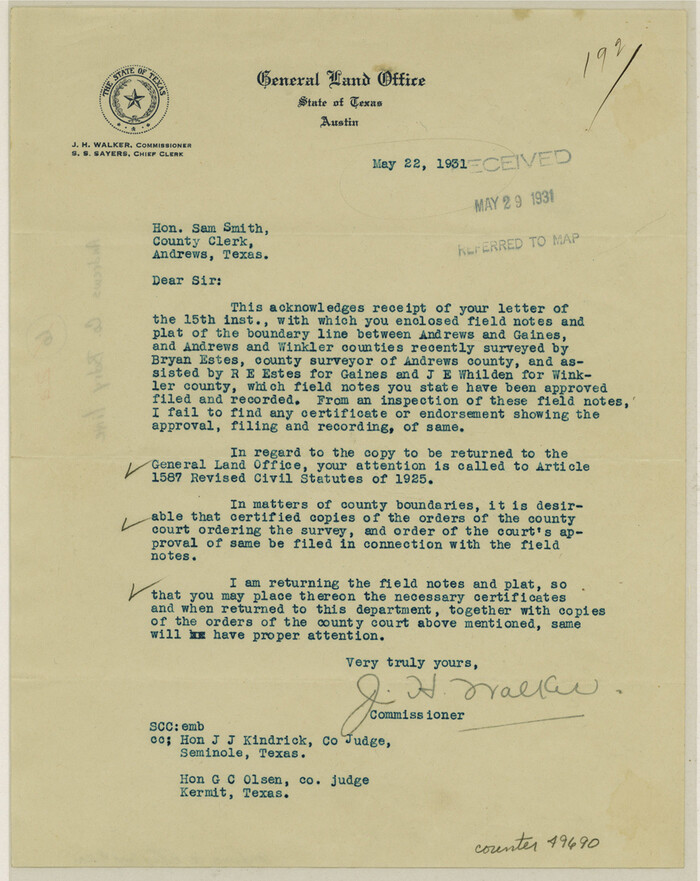
Andrews County Boundary File 2a

Print $14.00
- Digital $50.00
Andrews County Boundary File 2a
Size 11.2 x 8.9 inches
Map/Doc 49690
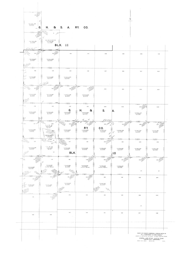
Brewster County Rolled Sketch 101

Print $40.00
- Digital $50.00
Brewster County Rolled Sketch 101
1927
Size 55.0 x 40.0 inches
Map/Doc 8509
Mills County Working Sketch 11


Print $20.00
- Digital $50.00
Mills County Working Sketch 11
1930
Size 22.5 x 14.4 inches
Map/Doc 71041
Chambers County Working Sketch 13


Print $20.00
- Digital $50.00
Chambers County Working Sketch 13
1956
Size 30.1 x 24.6 inches
Map/Doc 67996
Titus County Sketch File 8


Print $4.00
- Digital $50.00
Titus County Sketch File 8
1855
Size 12.7 x 7.9 inches
Map/Doc 38144
Live Oak County Boundary File 1

Print $24.00
- Digital $50.00
Live Oak County Boundary File 1
Size 9.0 x 4.2 inches
Map/Doc 56387
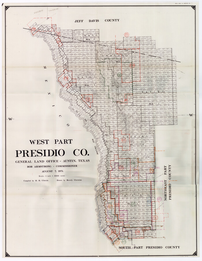
Presidio County Working Sketch Graphic Index, West Part, Sheet 2 (Sketches 75 to Most Recent)

Print $20.00
- Digital $50.00
Presidio County Working Sketch Graphic Index, West Part, Sheet 2 (Sketches 75 to Most Recent)
1974
Size 40.7 x 31.9 inches
Map/Doc 76673
Flight Mission No. BQR-4K, Frame 59, Brazoria County


Print $20.00
- Digital $50.00
Flight Mission No. BQR-4K, Frame 59, Brazoria County
1952
Size 18.7 x 22.4 inches
Map/Doc 83992
Upton County Rolled Sketch 34


Print $20.00
- Digital $50.00
Upton County Rolled Sketch 34
1951
Size 34.4 x 34.3 inches
Map/Doc 10050
You may also like
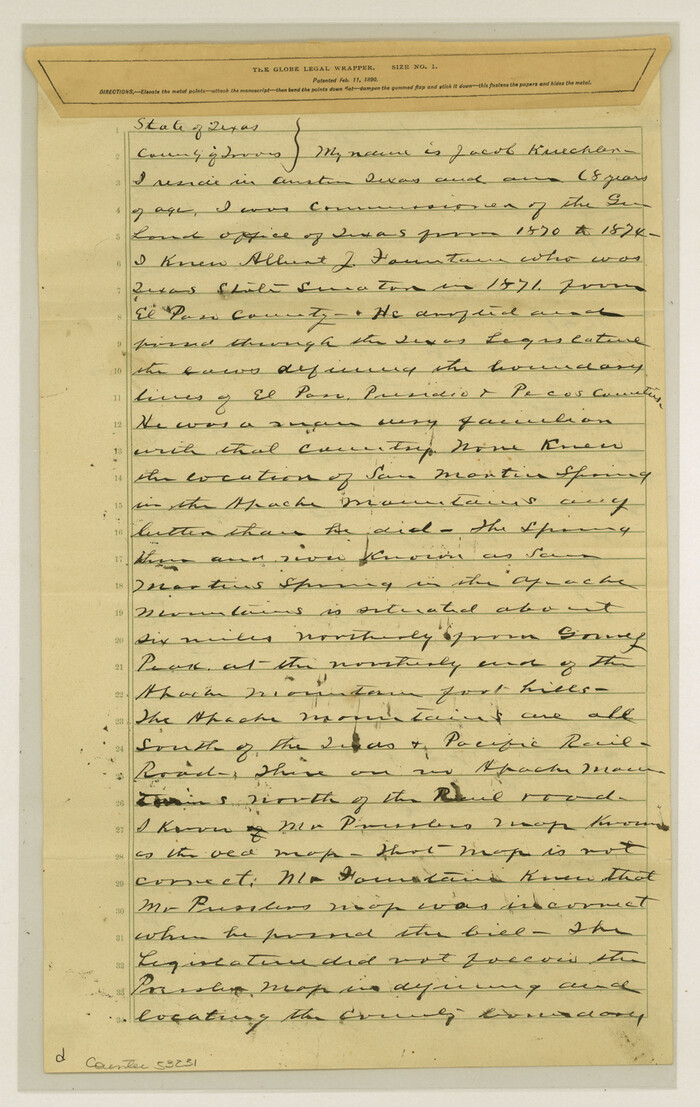
El Paso County Boundary File 26

Print $14.00
- Digital $50.00
El Paso County Boundary File 26
Size 14.8 x 9.3 inches
Map/Doc 53231
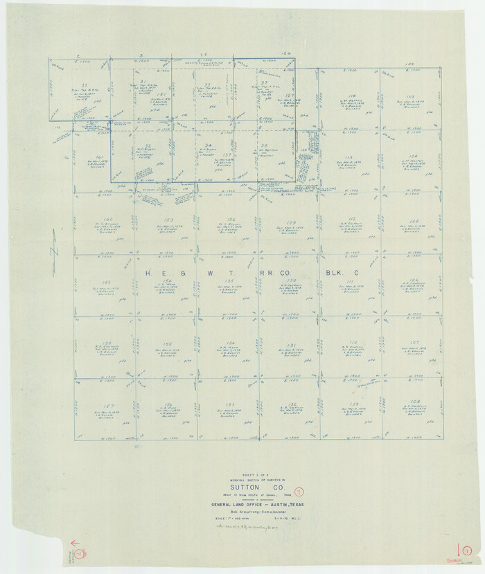
Sutton County Working Sketch 7

Print $20.00
- Digital $50.00
Sutton County Working Sketch 7
1972
Size 44.4 x 37.5 inches
Map/Doc 62350
Kleberg County Boundary File 2d


Print $20.00
- Digital $50.00
Kleberg County Boundary File 2d
Size 9.1 x 34.6 inches
Map/Doc 64980
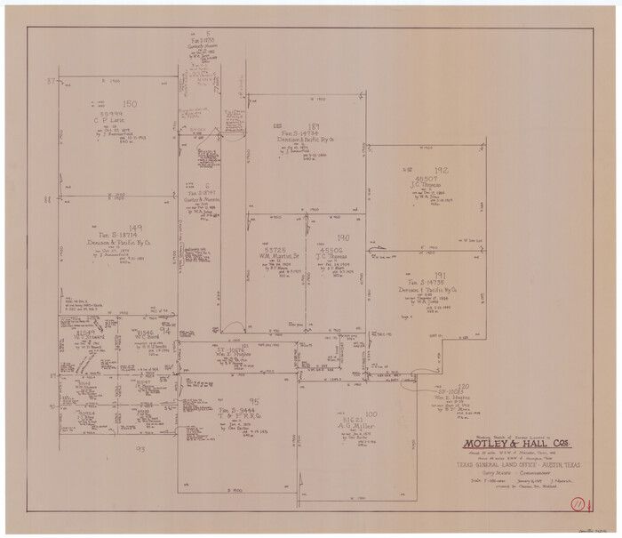
Motley County Working Sketch 11

Print $20.00
- Digital $50.00
Motley County Working Sketch 11
1989
Size 28.5 x 33.0 inches
Map/Doc 71216
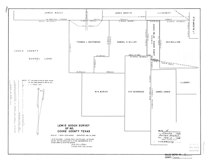
Cooke County Rolled Sketch 4

Print $20.00
- Digital $50.00
Cooke County Rolled Sketch 4
Size 18.1 x 23.1 inches
Map/Doc 5562
Tyler County Sketch File 8

Print $4.00
- Digital $50.00
Tyler County Sketch File 8
Size 8.6 x 6.8 inches
Map/Doc 38642
Hood County Working Sketch 3

Print $20.00
- Digital $50.00
Hood County Working Sketch 3
1960
Size 24.6 x 43.9 inches
Map/Doc 66197
Harris County NRC Article 33.136 Sketch 11


Print $28.00
- Digital $50.00
Harris County NRC Article 33.136 Sketch 11
2007
Size 24.0 x 36.0 inches
Map/Doc 94658
Andrews County Boundary File 4


Print $40.00
- Digital $50.00
Andrews County Boundary File 4
Size 35.4 x 7.1 inches
Map/Doc 49721
Carte Reduit d'une partie des Côtes des Isles Australes


Print $20.00
- Digital $50.00
Carte Reduit d'une partie des Côtes des Isles Australes
1782
Size 12.7 x 17.3 inches
Map/Doc 97122
Wood County Sketch File 5


Print $4.00
- Digital $50.00
Wood County Sketch File 5
1848
Size 10.7 x 9.0 inches
Map/Doc 40637
![4828, [San Diego], General Map Collection](https://historictexasmaps.com/wmedia_w1800h1800/maps/4828-1.tif.jpg)
