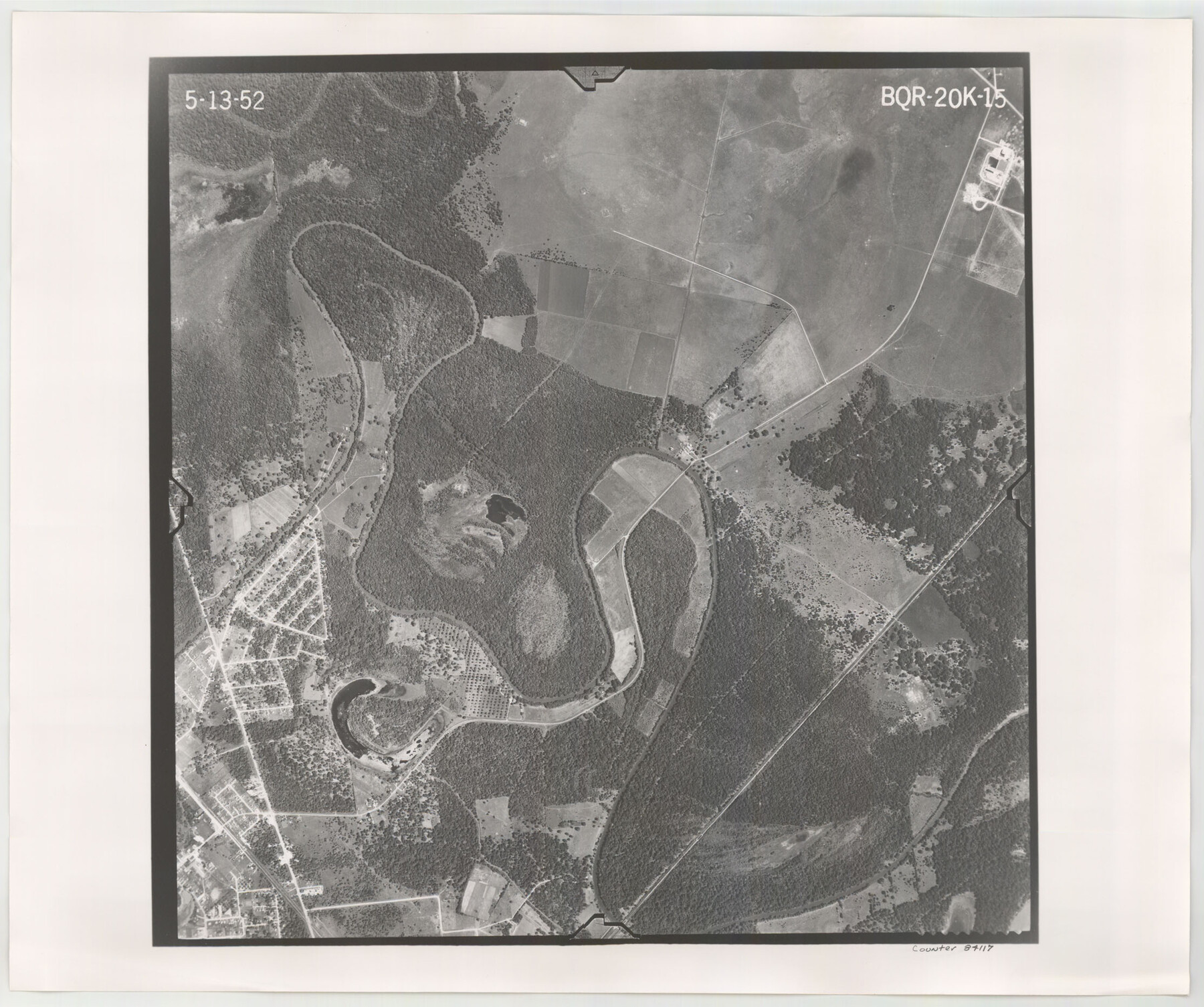
Flight Mission No. BQR-20K, Frame 15, Brazoria County
BQR-20K-15
-
Map/Doc
84117
-
Collection
General Map Collection
-
Object Dates
1952/5/13 (Creation Date)
-
People and Organizations
U. S. Department of Agriculture (Publisher)
-
Counties
Brazoria
-
Subjects
Aerial Photograph
-
Height x Width
18.6 x 22.3 inches
47.2 x 56.6 cm
-
Comments
Flown by Aero Exploration Company of Tulsa, Oklahoma.
Part of: General Map Collection
Reeves County Rolled Sketch 20

Print $20.00
- Digital $50.00
Reeves County Rolled Sketch 20
Size 32.1 x 38.4 inches
Map/Doc 9852
Randall County Sketch File 6

Print $20.00
- Digital $50.00
Randall County Sketch File 6
Size 17.2 x 23.5 inches
Map/Doc 12208
Liberty County Sketch File B

Print $4.00
- Digital $50.00
Liberty County Sketch File B
1869
Size 12.0 x 8.2 inches
Map/Doc 30066
Dallas County Boundary File 6a

Print $36.00
- Digital $50.00
Dallas County Boundary File 6a
Size 14.0 x 8.6 inches
Map/Doc 52189
Orange County Sketch File 31

Print $20.00
- Digital $50.00
Orange County Sketch File 31
1926
Size 17.9 x 20.0 inches
Map/Doc 12125
Hudspeth County Sketch File 50

Print $20.00
- Digital $50.00
Hudspeth County Sketch File 50
Size 11.2 x 8.7 inches
Map/Doc 42948
Val Verde County Sketch File 29

Print $20.00
- Digital $50.00
Val Verde County Sketch File 29
Size 33.1 x 23.8 inches
Map/Doc 76760
International boundary between the United States and Mexico in the Rio Grande and Colorado River delineated in accordance with the Treaty of November 23, 1970 - Volume 1

International boundary between the United States and Mexico in the Rio Grande and Colorado River delineated in accordance with the Treaty of November 23, 1970 - Volume 1
1972
Map/Doc 1747
Armstrong County Sketch File 1

Print $4.00
- Digital $50.00
Armstrong County Sketch File 1
Size 8.1 x 10.6 inches
Map/Doc 13685
King County Working Sketch 1

Print $20.00
- Digital $50.00
King County Working Sketch 1
1913
Size 18.2 x 23.8 inches
Map/Doc 70165
Armstrong County Sketch File A-12

Print $40.00
- Digital $50.00
Armstrong County Sketch File A-12
Size 41.3 x 18.5 inches
Map/Doc 10374
Flight Mission No. DIX-8P, Frame 66, Aransas County

Print $20.00
- Digital $50.00
Flight Mission No. DIX-8P, Frame 66, Aransas County
1956
Size 18.6 x 22.2 inches
Map/Doc 83897
You may also like
Atascosa County Sketch File 27b

Print $10.00
- Digital $50.00
Atascosa County Sketch File 27b
1875
Size 12.6 x 8.2 inches
Map/Doc 13801
Right of Way and Track Map Texas & New Orleans R.R. Co. operated by the T. & N. O. R.R. Co. Dallas-Sabine Branch

Print $40.00
- Digital $50.00
Right of Way and Track Map Texas & New Orleans R.R. Co. operated by the T. & N. O. R.R. Co. Dallas-Sabine Branch
1918
Size 24.3 x 55.9 inches
Map/Doc 64156
General Highway Map, Nueces County, Texas

Print $20.00
General Highway Map, Nueces County, Texas
1940
Size 24.6 x 18.4 inches
Map/Doc 79210
Crockett County Working Sketch 59

Print $20.00
- Digital $50.00
Crockett County Working Sketch 59
1955
Size 46.1 x 29.3 inches
Map/Doc 68392
Shelby County Working Sketch 16

Print $20.00
- Digital $50.00
Shelby County Working Sketch 16
1952
Size 25.3 x 22.9 inches
Map/Doc 63869
Presidio County Rolled Sketch 138

Print $20.00
- Digital $50.00
Presidio County Rolled Sketch 138
2000
Size 36.7 x 25.1 inches
Map/Doc 7405
Dimmit County Working Sketch 19

Print $20.00
- Digital $50.00
Dimmit County Working Sketch 19
1948
Size 27.4 x 23.3 inches
Map/Doc 68680
Hays County Sketch File 7

Print $4.00
- Digital $50.00
Hays County Sketch File 7
1858
Size 8.4 x 12.9 inches
Map/Doc 26208
Harris County Historic Topographic B

Print $20.00
- Digital $50.00
Harris County Historic Topographic B
1916
Size 25.5 x 19.2 inches
Map/Doc 65850
Van Zandt County Sketch File 29b

Print $4.00
- Digital $50.00
Van Zandt County Sketch File 29b
1859
Size 7.0 x 8.4 inches
Map/Doc 39457
Plan of the C. C. S. D. & R. G. N. G. R.R.

Print $20.00
- Digital $50.00
Plan of the C. C. S. D. & R. G. N. G. R.R.
1878
Size 14.3 x 40.9 inches
Map/Doc 64481
Culberson County Sketch File 14

Print $28.00
- Digital $50.00
Culberson County Sketch File 14
1928
Size 13.3 x 8.0 inches
Map/Doc 20176