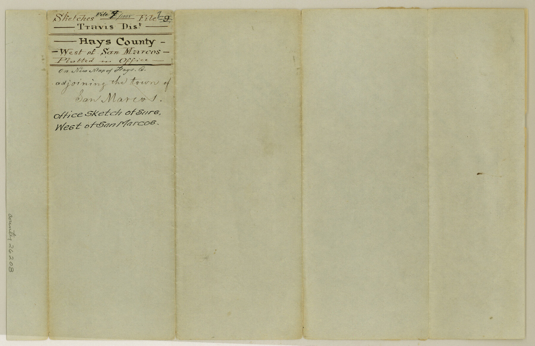
Hays County Sketch File 7
[Sketch of surveys west of San Marcos]
- 
                          Map/Doc
26208
 - 
                            Collection
General Map Collection
 - 
                            Object Dates
1858 (Creation Date)
 - 
                            Counties
Hays Comal
 - 
                            Subjects
Surveying Sketch File
 - 
                            Height x Width
8.4 x 12.9 inches
21.3 x 32.8 cm
 - 
                            Medium
paper, manuscript
 - 
                            Features
York Creek
Austin Road
Oyster Creek
Cottonwood Creek
San Marcos River
 
Part of: General Map Collection
            Zavalla County


                                            Print $20.00                    
                                             -                         Digital $50.00                                    
                Zavalla County
1879
Size 22.8 x 27.2 inches
                                Map/Doc 4182
            
            Lamar County Working Sketch 2


                                            Print $20.00                    
                                             -                         Digital $50.00                                    
                Lamar County Working Sketch 2
Size 27.9 x 25.6 inches
                                Map/Doc 70263
            
            Map of Caldwell County, Land District since August 1st. 1859; Originally the part north, east of the line designated Bastrop - the balance, Gonzales Land District


                                            Print $20.00                    
                                             -                         Digital $50.00                                    
                Map of Caldwell County, Land District since August 1st. 1859; Originally the part north, east of the line designated Bastrop - the balance, Gonzales Land District
1861
Size 19.9 x 23.0 inches
                                Map/Doc 3355
            
            Reagan County Working Sketch 27


                                            Print $20.00                    
                                             -                         Digital $50.00                                    
                Reagan County Working Sketch 27
1960
Size 33.0 x 42.5 inches
                                Map/Doc 71869
            
            Bandera County Working Sketch Graphic Index


                                            Print $40.00                    
                                             -                         Digital $50.00                                    
                Bandera County Working Sketch Graphic Index
1947
Size 33.5 x 53.8 inches
                                Map/Doc 76461
            
            Flight Mission No. DAG-17K, Frame 77, Matagorda County


                                            Print $20.00                    
                                             -                         Digital $50.00                                    
                Flight Mission No. DAG-17K, Frame 77, Matagorda County
1952
Size 16.7 x 16.3 inches
                                Map/Doc 86336
            
            Erath County Sketch File 8


                                            Print $4.00                    
                                             -                         Digital $50.00                                    
                Erath County Sketch File 8
Size 8.6 x 13.0 inches
                                Map/Doc 22269
            
            Reagan County Working Sketch 38


                                            Print $40.00                    
                                             -                         Digital $50.00                                    
                Reagan County Working Sketch 38
1969
Size 60.8 x 30.5 inches
                                Map/Doc 71880
            
            Hartley County Boundary File 1


                                            Print $64.00                    
                                             -                         Digital $50.00                                    
                Hartley County Boundary File 1
Size 8.8 x 25.8 inches
                                Map/Doc 54423
            
            Childress County Boundary File 2


                                            Print $66.00                    
                                             -                         Digital $50.00                                    
                Childress County Boundary File 2
Size 7.3 x 3.9 inches
                                Map/Doc 51306
            
            Grayson County Sketch File 10


                                            Print $4.00                    
                                             -                         Digital $50.00                                    
                Grayson County Sketch File 10
1851
Size 12.1 x 7.9 inches
                                Map/Doc 24474
            
            Map of Taylor County


                                            Print $20.00                    
                                             -                         Digital $50.00                                    
                Map of Taylor County
1858
Size 24.0 x 25.3 inches
                                Map/Doc 4070
            You may also like
            Southern Pacific Lines Map of Texas


                                            Print $20.00                    
                                             -                         Digital $50.00                                    
                Southern Pacific Lines Map of Texas
1928
Size 27.4 x 22.4 inches
                                Map/Doc 95774
            
            Padre Island National Seashore


                                            Print $20.00                    
                                             -                         Digital $50.00                                    
                Padre Island National Seashore
Size 16.0 x 21.7 inches
                                Map/Doc 60537
            
            Aransas County NRC Article 33.136 Location Key Sheet


                                            Print $20.00                    
                                             -                         Digital $50.00                                    
                Aransas County NRC Article 33.136 Location Key Sheet
1979
Size 27.0 x 23.0 inches
                                Map/Doc 77006
            
            [Showing west and north line of County]


                                            Print $20.00                    
                                             -                         Digital $50.00                                    
                [Showing west and north line of County]
1885
Size 21.3 x 29.0 inches
                                Map/Doc 90652
            
            Presidio County Sketch File 92


                                            Print $10.00                    
                                             -                         Digital $50.00                                    
                Presidio County Sketch File 92
1958
Size 11.2 x 8.8 inches
                                Map/Doc 34765
            
            Webb County Sketch File 15-1


                                            Print $20.00                    
                                             -                         Digital $50.00                                    
                Webb County Sketch File 15-1
1935
Size 35.0 x 25.2 inches
                                Map/Doc 12634
            
            Val Verde County Rolled Sketch 66


                                            Print $40.00                    
                                             -                         Digital $50.00                                    
                Val Verde County Rolled Sketch 66
1957
Size 30.7 x 55.0 inches
                                Map/Doc 10084
            
            Polk County Sketch File 3


                                            Print $10.00                    
                                             -                         Digital $50.00                                    
                Polk County Sketch File 3
1848
Size 8.5 x 7.6 inches
                                Map/Doc 34122
            
            Flight Mission No. DAH-9M, Frame 83, Orange County


                                            Print $20.00                    
                                             -                         Digital $50.00                                    
                Flight Mission No. DAH-9M, Frame 83, Orange County
1953
Size 18.5 x 22.3 inches
                                Map/Doc 86847
            
            Map of Mexico, including Yucatan & Upper California, exhibiting the chief cities and towns, the principal travelling routes &c.


                                            Print $20.00                    
                                             -                         Digital $50.00                                    
                Map of Mexico, including Yucatan & Upper California, exhibiting the chief cities and towns, the principal travelling routes &c.
1846
Size 18.3 x 26.1 inches
                                Map/Doc 93871