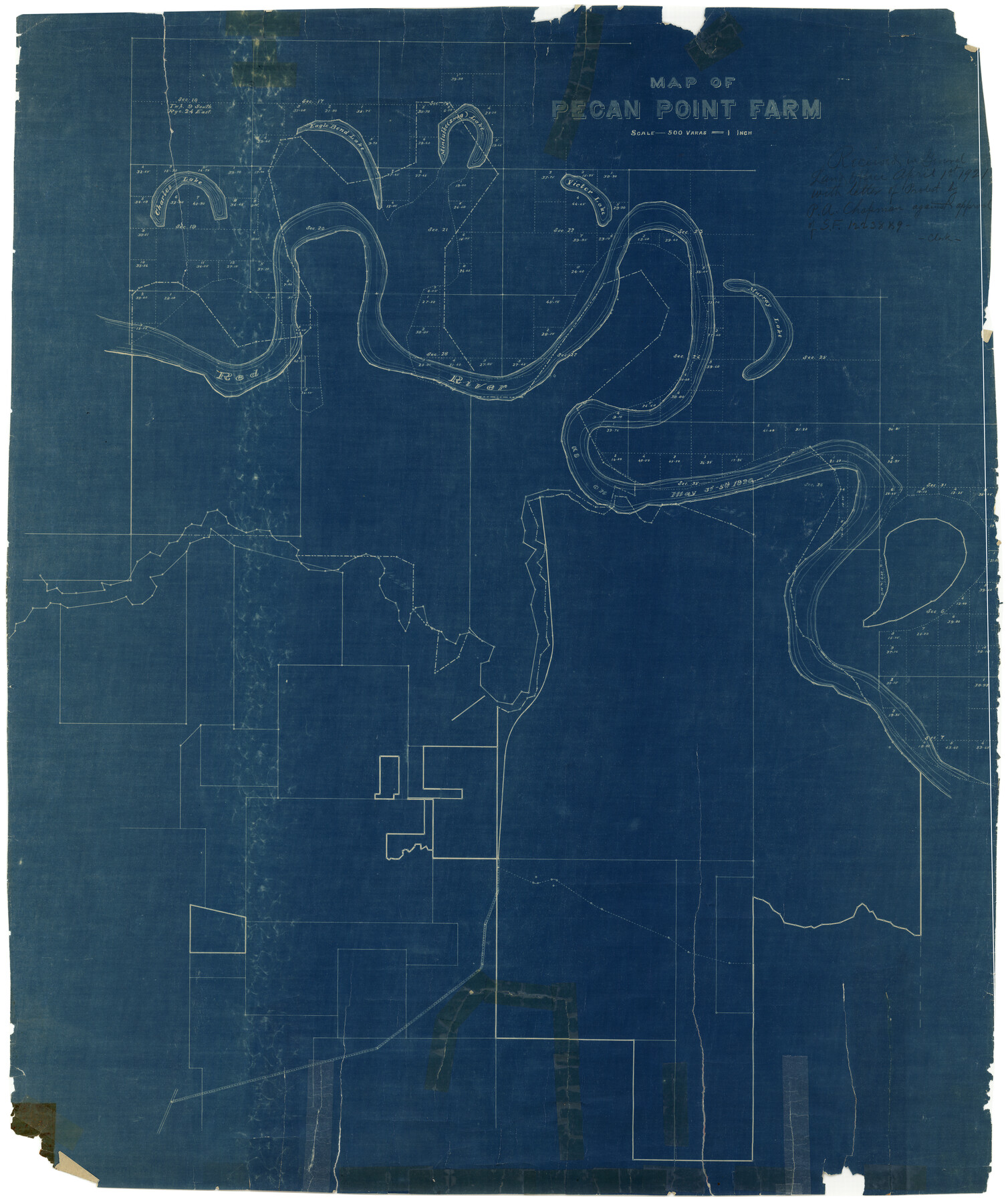
Red River County Rolled Sketch 3
Map of Pecan Point Farm
-
Map/Doc
9840
-
Collection
General Map Collection
-
Object Dates
4/1921 (File Date)
-
Counties
Red River
-
Subjects
Surveying Rolled Sketch
-
Height x Width
36.9 x 31.0 inches
93.7 x 78.7 cm
-
Medium
blueprint/diazo
-
Scale
1" = 500 varas
Part of: General Map Collection
San Patricio County Working Sketch 23

Print $20.00
- Digital $50.00
San Patricio County Working Sketch 23
1984
Size 43.5 x 43.8 inches
Map/Doc 63785
Fisher County Working Sketch 15

Print $20.00
- Digital $50.00
Fisher County Working Sketch 15
1958
Size 22.2 x 22.6 inches
Map/Doc 69149
Navigation Maps of Gulf Intracoastal Waterway, Port Arthur to Brownsville, Texas

Print $4.00
- Digital $50.00
Navigation Maps of Gulf Intracoastal Waterway, Port Arthur to Brownsville, Texas
1951
Size 16.7 x 21.5 inches
Map/Doc 65428
Victoria County Aerial Photograph Index Sheet 5

Print $20.00
- Digital $50.00
Victoria County Aerial Photograph Index Sheet 5
1953
Size 19.8 x 23.6 inches
Map/Doc 83749
Flight Mission No. DAG-23K, Frame 179, Matagorda County

Print $20.00
- Digital $50.00
Flight Mission No. DAG-23K, Frame 179, Matagorda County
1953
Size 18.5 x 22.4 inches
Map/Doc 86514
Township No. 5 South Range No. 15 West of the Indian Meridian

Print $4.00
- Digital $50.00
Township No. 5 South Range No. 15 West of the Indian Meridian
1875
Size 18.1 x 23.1 inches
Map/Doc 75138
Hansford County Working Sketch Graphic Index

Print $20.00
- Digital $50.00
Hansford County Working Sketch Graphic Index
1932
Size 39.2 x 38.2 inches
Map/Doc 76565
Maverick County Working Sketch 16

Print $20.00
- Digital $50.00
Maverick County Working Sketch 16
1975
Size 38.1 x 27.6 inches
Map/Doc 70908
Map of Lipscomb County

Print $20.00
- Digital $50.00
Map of Lipscomb County
1899
Size 42.2 x 38.9 inches
Map/Doc 95572
Dawson County Rolled Sketch 6

Print $20.00
- Digital $50.00
Dawson County Rolled Sketch 6
1913
Size 22.0 x 30.1 inches
Map/Doc 8771

Presidio County Working Sketch 132

Print $20.00
- Digital $50.00
Presidio County Working Sketch 132
1989
Size 36.7 x 29.4 inches
Map/Doc 71810
You may also like
Dominion of Canada and Newfoundland

Print $20.00
- Digital $50.00
Dominion of Canada and Newfoundland
1885
Size 12.2 x 9.0 inches
Map/Doc 93513
Wheeler County Working Sketch Graphic Index

Print $20.00
- Digital $50.00
Wheeler County Working Sketch Graphic Index
1899
Size 41.4 x 36.8 inches
Map/Doc 76738
Lampasas County Working Sketch 15

Print $20.00
- Digital $50.00
Lampasas County Working Sketch 15
1975
Size 28.5 x 23.8 inches
Map/Doc 70292
Boundary and Ownership map, Laguna Atascosa National Wildlife Refuge, Cameron and Willacy Counties, Texas

Print $40.00
- Digital $50.00
Boundary and Ownership map, Laguna Atascosa National Wildlife Refuge, Cameron and Willacy Counties, Texas
1968
Size 73.1 x 43.0 inches
Map/Doc 60394
Flight Mission No. DCL-7C, Frame 77, Kenedy County

Print $20.00
- Digital $50.00
Flight Mission No. DCL-7C, Frame 77, Kenedy County
1943
Size 15.3 x 15.2 inches
Map/Doc 86063
Flight Mission No. DQN-2K, Frame 44, Calhoun County

Print $20.00
- Digital $50.00
Flight Mission No. DQN-2K, Frame 44, Calhoun County
1953
Size 18.4 x 22.1 inches
Map/Doc 84249
Flight Mission No. DQN-2K, Frame 21, Calhoun County

Print $20.00
- Digital $50.00
Flight Mission No. DQN-2K, Frame 21, Calhoun County
1953
Size 18.8 x 22.3 inches
Map/Doc 84228
Crockett County Rolled Sketch 88H

Print $40.00
- Digital $50.00
Crockett County Rolled Sketch 88H
1973
Size 42.6 x 57.3 inches
Map/Doc 8733
United States - Gulf Coast - Aransas Pass and Corpus Christi Bay with the coast to latitude 27° 12' Texas

Print $20.00
- Digital $50.00
United States - Gulf Coast - Aransas Pass and Corpus Christi Bay with the coast to latitude 27° 12' Texas
1913
Size 27.6 x 18.2 inches
Map/Doc 72793
Hamilton County Working Sketch 21

Print $40.00
- Digital $50.00
Hamilton County Working Sketch 21
1955
Size 52.4 x 43.7 inches
Map/Doc 63359
Brazoria County Working Sketch 14

Print $20.00
- Digital $50.00
Brazoria County Working Sketch 14
1940
Size 33.6 x 43.9 inches
Map/Doc 67499
Clay County Sketch File 47

Print $6.00
- Digital $50.00
Clay County Sketch File 47
Size 11.3 x 17.4 inches
Map/Doc 18485