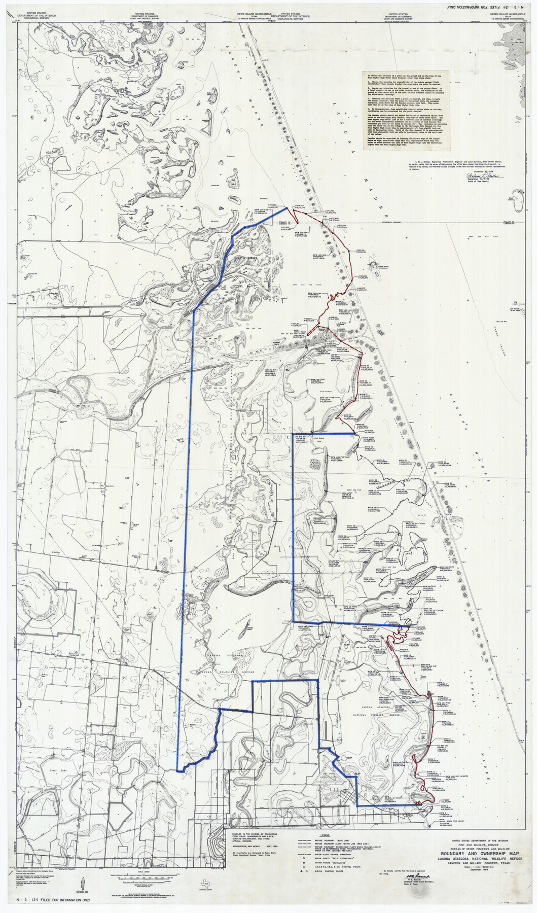
Boundary and Ownership map, Laguna Atascosa National Wildlife Refuge, Cameron and Willacy Counties, Texas
N-2-124
-
Map/Doc
60394
-
Collection
General Map Collection
-
Object Dates
1968 (Creation Date)
-
Counties
Cameron Willacy
-
Height x Width
73.1 x 43.0 inches
185.7 x 109.2 cm
Part of: General Map Collection
Grimes County Working Sketch Graphic Index

Print $40.00
- Digital $50.00
Grimes County Working Sketch Graphic Index
1922
Size 54.9 x 29.4 inches
Map/Doc 76560
University and College Lands

Print $20.00
- Digital $50.00
University and College Lands
1841
Size 21.3 x 27.0 inches
Map/Doc 169
Matagorda Light to Aransas Pass

Print $20.00
- Digital $50.00
Matagorda Light to Aransas Pass
1972
Size 35.9 x 44.8 inches
Map/Doc 73400
Donley County Rolled Sketch 3A

Print $20.00
- Digital $50.00
Donley County Rolled Sketch 3A
1946
Size 15.2 x 22.6 inches
Map/Doc 5730
Stonewall County

Print $20.00
- Digital $50.00
Stonewall County
1902
Size 39.6 x 38.5 inches
Map/Doc 63049
Packery Channel

Print $3.00
- Digital $50.00
Packery Channel
1972
Size 10.6 x 17.8 inches
Map/Doc 2999
Burleson County Working Sketch 11

Print $20.00
- Digital $50.00
Burleson County Working Sketch 11
1980
Size 18.7 x 17.0 inches
Map/Doc 67730
Brewster County Rolled Sketch 28

Print $20.00
- Digital $50.00
Brewster County Rolled Sketch 28
1910
Size 25.6 x 29.4 inches
Map/Doc 5215
Brewster County Working Sketch 75

Print $20.00
- Digital $50.00
Brewster County Working Sketch 75
1967
Size 28.3 x 36.9 inches
Map/Doc 67675
Flight Mission No. DAG-24K, Frame 51, Matagorda County

Print $20.00
- Digital $50.00
Flight Mission No. DAG-24K, Frame 51, Matagorda County
1953
Size 16.0 x 15.9 inches
Map/Doc 86538
Collin County Sketch File 3

Print $20.00
- Digital $50.00
Collin County Sketch File 3
1852
Size 19.5 x 21.4 inches
Map/Doc 11126
Childress County Rolled Sketch 9E

Print $20.00
- Digital $50.00
Childress County Rolled Sketch 9E
Size 23.8 x 16.6 inches
Map/Doc 78460
You may also like
Mappa Geographica Regionem Mexicanam et Floridam, Terrasque adjacentes, ut et Anteriores Americae Insulas, Curfus itidem et Reditus Navigantuim verfus flumen Missisipi et alias Colonias ob oculos ponens, cura et fumptibus

Print $20.00
Mappa Geographica Regionem Mexicanam et Floridam, Terrasque adjacentes, ut et Anteriores Americae Insulas, Curfus itidem et Reditus Navigantuim verfus flumen Missisipi et alias Colonias ob oculos ponens, cura et fumptibus
1725
Size 20.0 x 24.0 inches
Map/Doc 76196

[John S. Stephens Blk. S-2, J. A. Oden Blk. 1, Lgs. 174-176]
![90247, [John S. Stephens Blk. S-2, J. A. Oden Blk. 1, Lgs. 174-176], Twichell Survey Records](https://historictexasmaps.com/wmedia_w700/maps/90247-1.tif.jpg)
Print $20.00
- Digital $50.00
[John S. Stephens Blk. S-2, J. A. Oden Blk. 1, Lgs. 174-176]
1913
Size 24.8 x 31.5 inches
Map/Doc 90247
Flight Mission No. BRA-7M, Frame 190, Jefferson County

Print $20.00
- Digital $50.00
Flight Mission No. BRA-7M, Frame 190, Jefferson County
1953
Size 18.7 x 22.3 inches
Map/Doc 85558
McClennan County Robertson District East of the Brazos Milam District West of the Brazos

Print $20.00
- Digital $50.00
McClennan County Robertson District East of the Brazos Milam District West of the Brazos
1878
Size 21.0 x 23.4 inches
Map/Doc 3865
Harris County Rolled Sketch 70

Print $20.00
- Digital $50.00
Harris County Rolled Sketch 70
1942
Size 29.6 x 36.2 inches
Map/Doc 6110
Upton County Working Sketch 43

Print $40.00
- Digital $50.00
Upton County Working Sketch 43
1962
Size 56.8 x 42.7 inches
Map/Doc 69539
Marion County Working Sketch 5

Print $20.00
- Digital $50.00
Marion County Working Sketch 5
1910
Size 24.5 x 15.2 inches
Map/Doc 70780
[Sketch of Potter County Road, North of River]
![93059, [Sketch of Potter County Road, North of River], Twichell Survey Records](https://historictexasmaps.com/wmedia_w700/maps/93059-1.tif.jpg)
Print $20.00
- Digital $50.00
[Sketch of Potter County Road, North of River]
Size 12.5 x 29.5 inches
Map/Doc 93059
Newton County Rolled Sketch 7

Print $20.00
- Digital $50.00
Newton County Rolled Sketch 7
1943
Size 21.4 x 37.2 inches
Map/Doc 6843
Montgomery County Working Sketch 64

Print $20.00
- Digital $50.00
Montgomery County Working Sketch 64
1965
Size 27.9 x 33.7 inches
Map/Doc 71171
Donley County Rolled Sketch 4

Print $20.00
- Digital $50.00
Donley County Rolled Sketch 4
1972
Size 16.0 x 17.4 inches
Map/Doc 5731